 English (UK)
 English (US)
 Français
 Deutsch
 Español
 Italiano
 Nederlands
 简体中文
A mini guide to
Derry~Londonderry: getting there
Stops, stations and how to reach Derry~Londonderry
Stops and stations
Getting to Derry~Londonderry
Choose the stop closest to where you are going.
| Stop or station | Services | Good for |
|---|---|---|
| Derry~Londonderry station | Trains | Northern Ireland Railways terminus on the east bank of the Foyle, also called the North West Transport Hub |
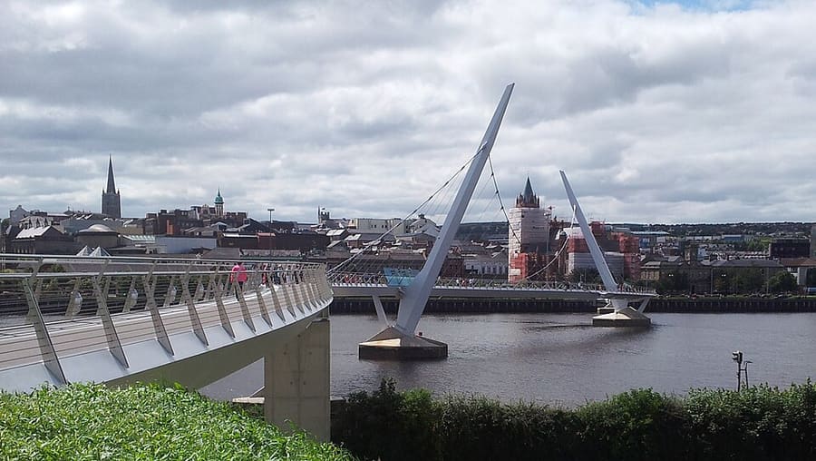
| Peace Bridge | On foot | Foot and cycle bridge linking Ebrington Square with the city centre |
| City of Derry Airport | Flights | Regional airport for the north-west; the airport website lists easyJet among its partners |
Within walking range
Stations near Derry~Londonderry
Stations and stops mapped in OpenStreetMap within 2.5 km of the centre of Derry~Londonderry, nearest first. Distances are straight lines; walking times assume 5 km/h and are a minimum.
| Station or stop | Type | Distance | On foot |
|---|---|---|---|
| Derry~Londonderry | Rail station (Translink NI Railways) | 500 m | about 6 min |
| Foyle Street Buscentre | Bus or coach station (Translink) | 600 m | about 7 min |
Station data: © OpenStreetMap contributors (ODbL), read 1 November 2026. Check step-free access with the operator before you travel.
Walking from nearby areas
- The Causeway Coast: 57.1 km from Derry~Londonderry, better by public transport
- Fermanagh Lakelands: 75.6 km from Derry~Londonderry, better by public transport
- Belfast city centre & Cathedral Quarter: 98.9 km from Derry~Londonderry, better by public transport
- Titanic Quarter & East Belfast: 100.2 km from Derry~Londonderry, better by public transport
Reaching Northern Ireland
Official travel information
Northern Ireland has two airports for Belfast, a regional airport at Derry~Londonderry, ferry ports at Belfast and Larne, and a rail and bus network run by Translink. Always check the operator for current times, fares and disruption.
- Discover Northern Ireland → — Tourism Northern Ireland's official visitor site
- Visit Belfast → — the city's official visitor site
- Visit Derry → — official tourism site for Derry~Londonderry
- Causeway Coast and Glens → — the official guide to the north coast
- Fermanagh Lakelands → — official tourism site for Fermanagh
- Visit Mourne Mountains → — official tourism site for the Mournes and Ring of Gullion
- Translink → — buses and trains across Northern Ireland
- Belfast International Airport → — flights and transfers
- George Best Belfast City Airport → — flights and transfers
- City of Derry Airport → — flights for the north-west
- Stena Line → — ferries to Belfast
- P&O Ferries → — ferries to Larne
- GOV.UK: electronic travel authorisation → — who needs an ETA to visit the UK
Times, fares and disruption change: use the operator pages above for live information.
Plan your journey here
Enter your starting point and Google Maps will show routes to Derry~Londonderry. Public transport is selected; change it on the map. Check operator sites for live disruption.
While you are here
Things to see in Derry~Londonderry
A few of the sights in the area. The Things to do page lists them all, with directions and official links.
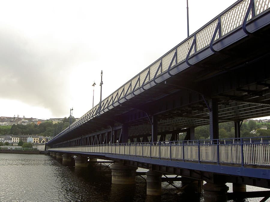
Craigavon Bridge
Double-decker road bridge over the River Foyle, one of only a few in Europe.
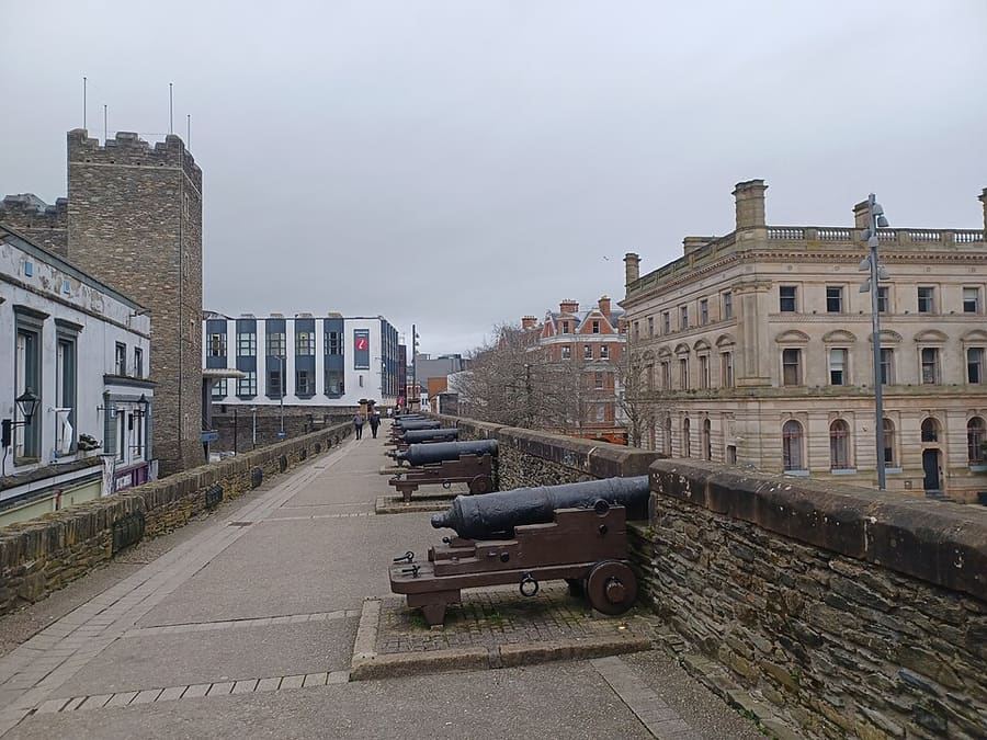
Derry~Londonderry's city walls
Seventeenth-century walls built between 1613 and 1619 around the old city, which Visit Derry describes as completely intact.
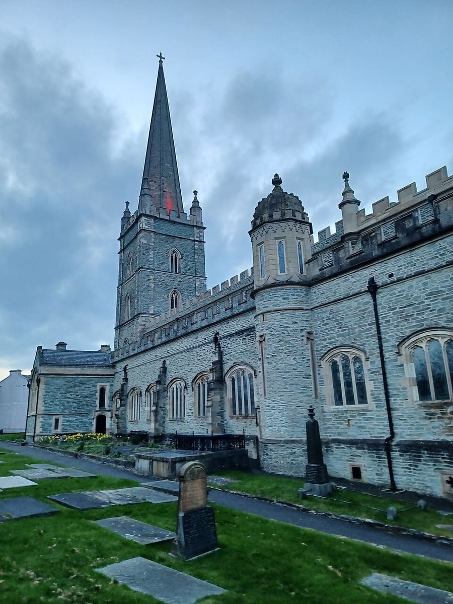
St Columb's Cathedral
Church of Ireland cathedral inside the walled city, dedicated to Saint Columba.
Northern Ireland
More areas to explore
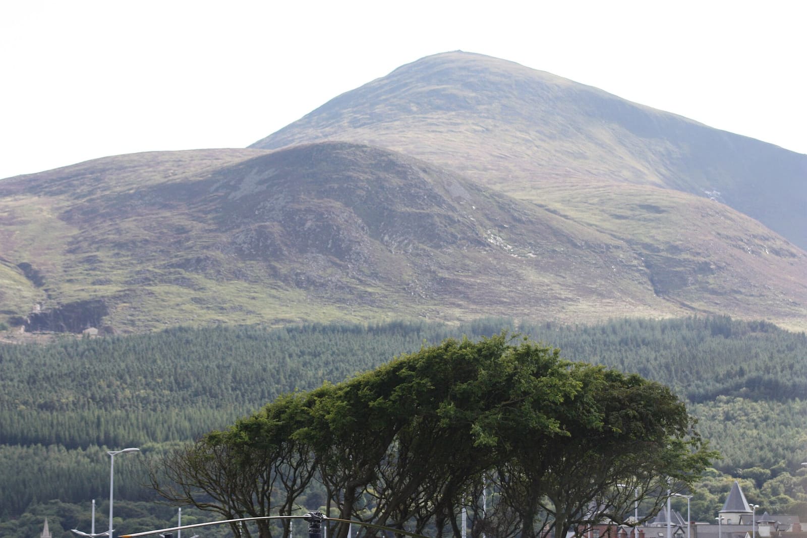
The Mournes & Newcastle
Granite mountains, forest parks and a seaside town at the foot of Slieve Donard
Open the mini guide →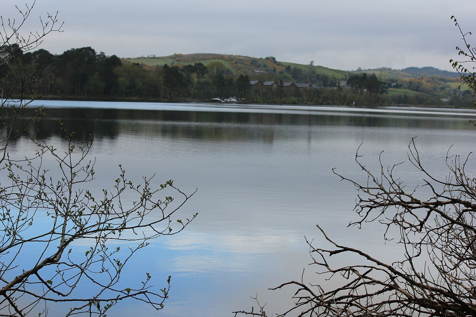
Fermanagh Lakelands
Lough Erne islands, National Trust houses and limestone caves around Enniskillen
Open the mini guide →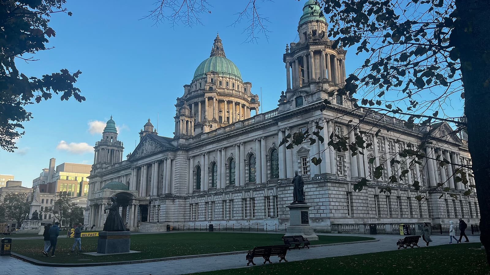
Belfast city centre & Cathedral Quarter
Civic landmarks, historic pubs and the alleys of the Cathedral Quarter
Open the mini guide →Photo credits
- Peace Bridge: NorthernCounties, CC BY-SA 3.0, source
- Derry~Londonderry (area photo): Mario Falcetti, CC BY 4.0, source
- Craigavon Bridge: Jove, Public domain, source
- Derry~Londonderry's city walls: Simon Burchell, CC BY-SA 4.0, source
- St Columb's Cathedral: Simon Burchell, CC BY-SA 4.0, source
- The Mournes & Newcastle: Ardfern, CC BY-SA 3.0, source
- Fermanagh Lakelands: Joli, CC BY-SA 4.0, source
- Belfast city centre & Cathedral Quarter: Bryn Holmes, CC BY-SA 2.0, source
- Titanic Quarter & East Belfast: Suicasmo, CC BY-SA 4.0, source
- The Causeway Coast: Ajay Suresh from New York, NY, USA, CC BY 2.0, source
Photos from Wikimedia Commons, used under the licences shown. All photo credits
Keep exploring Northern Ireland