 English (UK)
 English (US)
 Français
 Deutsch
 Español
 Italiano
 Nederlands
 简体中文
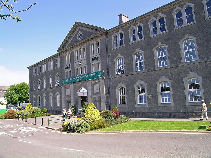
A mini guide to
Fermanagh Lakelands: getting there
Stops, stations and how to reach Fermanagh Lakelands
Stops and stations
Getting to Fermanagh Lakelands
Choose the stop closest to where you are going.
| Stop or station | Services | Good for |
|---|---|---|
| Enniskillen | Buses | Bus services run to Enniskillen; check Translink for routes |
| Lough Erne | Boat | Boat trips, cruisers and day boats operate on the lough; see Fermanagh Lakelands for operators |
| Car | Driving | Most sights beyond the town are best reached by car; the Fermanagh Lakelands site lists EV charging points |
Within walking range
Stations near Fermanagh Lakelands
Stations and stops mapped in OpenStreetMap within 2.5 km of the centre of Fermanagh Lakelands, nearest first. Distances are straight lines; walking times assume 5 km/h and are a minimum.
| Station or stop | Type | Distance | On foot |
|---|---|---|---|
| Enniskillen Bus Station | Bus or coach station (Translink Ulsterbus) | 100 m | about 1 min |
Station data: © OpenStreetMap contributors (ODbL), read 1 November 2026. Check step-free access with the operator before you travel.
Walking from nearby areas
- Derry~Londonderry: 75.6 km from Fermanagh Lakelands, better by public transport
- Belfast city centre & Cathedral Quarter: 114.2 km from Fermanagh Lakelands, better by public transport
- The Mournes & Newcastle: 114.6 km from Fermanagh Lakelands, better by public transport
- Titanic Quarter & East Belfast: 116.1 km from Fermanagh Lakelands, better by public transport
Reaching Northern Ireland
Official travel information
Northern Ireland has two airports for Belfast, a regional airport at Derry~Londonderry, ferry ports at Belfast and Larne, and a rail and bus network run by Translink. Always check the operator for current times, fares and disruption.
- Discover Northern Ireland → — Tourism Northern Ireland's official visitor site
- Visit Belfast → — the city's official visitor site
- Visit Derry → — official tourism site for Derry~Londonderry
- Causeway Coast and Glens → — the official guide to the north coast
- Fermanagh Lakelands → — official tourism site for Fermanagh
- Visit Mourne Mountains → — official tourism site for the Mournes and Ring of Gullion
- Translink → — buses and trains across Northern Ireland
- Belfast International Airport → — flights and transfers
- George Best Belfast City Airport → — flights and transfers
- City of Derry Airport → — flights for the north-west
- Stena Line → — ferries to Belfast
- P&O Ferries → — ferries to Larne
- GOV.UK: electronic travel authorisation → — who needs an ETA to visit the UK
Times, fares and disruption change: use the operator pages above for live information.
Plan your journey here
Enter your starting point and Google Maps will show routes to Fermanagh Lakelands. Public transport is selected; change it on the map. Check operator sites for live disruption.
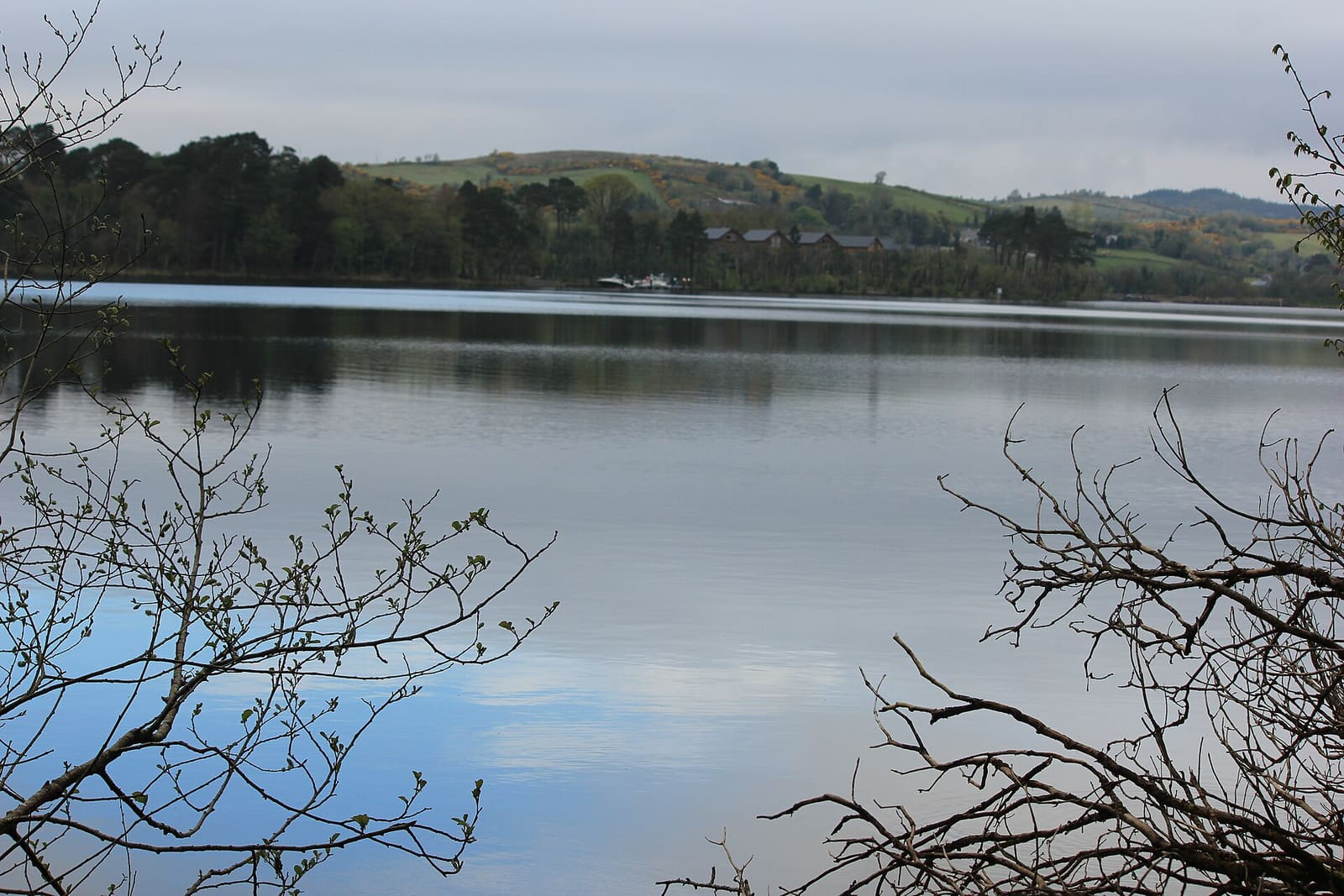
While you are here
Things to see in Fermanagh Lakelands
A few of the sights in the area. The Things to do page lists them all, with directions and official links.
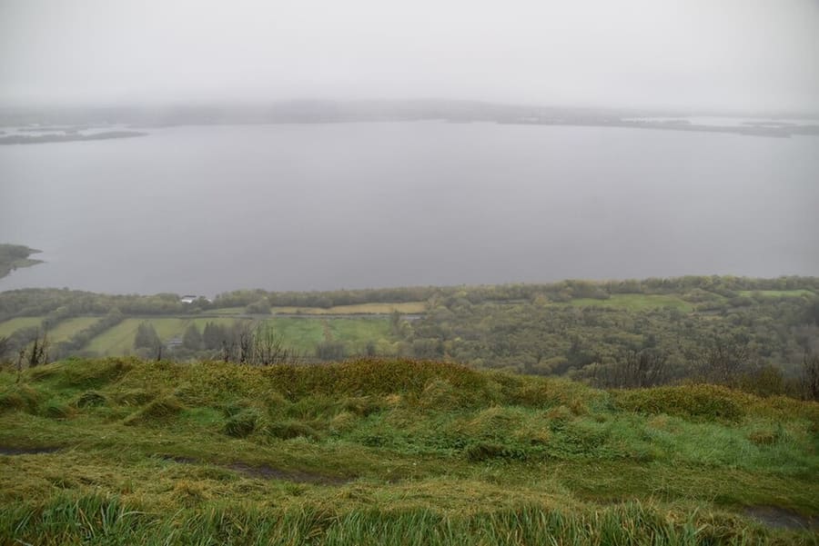
Cliffs of Magho
Nine-kilometre limestone escarpment above Lower Lough Erne, with a viewpoint reached by a forest drive.
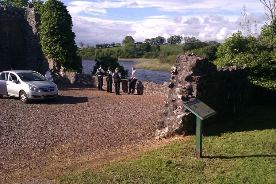
Portora Castle
Castle ruin built for Sir William Cole, beside the narrow exit of the River Erne into Lower Lough Erne.
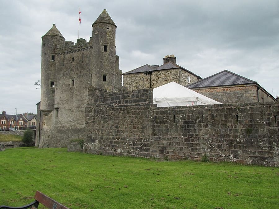
Enniskillen Castle
Sixteenth-century castle on the River Erne that houses the Fermanagh County Museum and the Inniskillings Museum.
Northern Ireland
More areas to explore
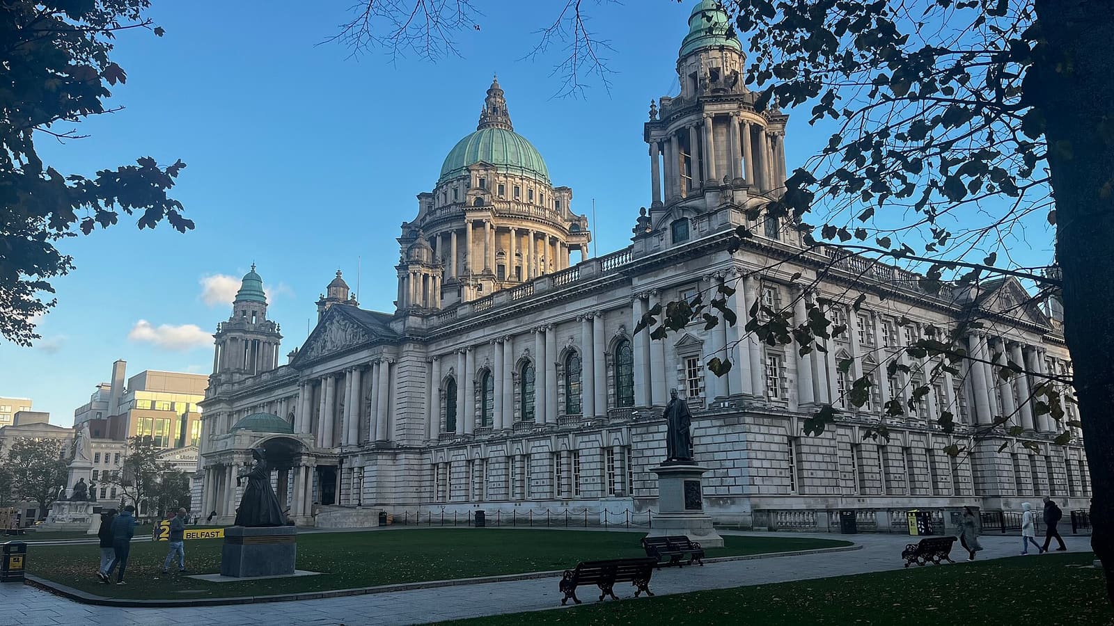
Belfast city centre & Cathedral Quarter
Civic landmarks, historic pubs and the alleys of the Cathedral Quarter
Open the mini guide →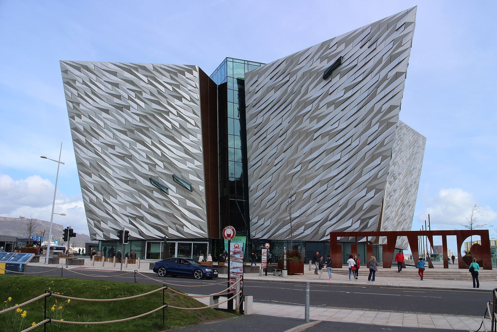
Titanic Quarter & East Belfast
Shipyard heritage on the Lagan, then C. S. Lewis, Stormont and east Belfast high streets
Open the mini guide →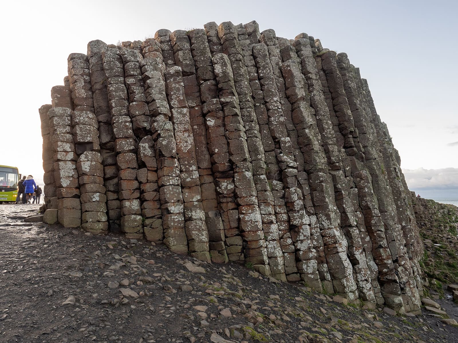
The Causeway Coast
Basalt columns, ruined castles and sea cliffs between Portrush and Ballycastle
Open the mini guide →Photo credits
- Belleek Pottery: Roel Visser, CC BY-SA 3.0, source
- Fermanagh Lakelands (area photo): Joli, CC BY-SA 4.0, source
- Cliffs of Magho: N Chadwick, CC BY-SA 2.0, source
- Portora Castle: Hywel Williams, CC BY-SA 2.0, source
- Enniskillen Castle: Romeparis, CC BY-SA 3.0, source
- Belfast city centre & Cathedral Quarter: Bryn Holmes, CC BY-SA 2.0, source
- Titanic Quarter & East Belfast: Suicasmo, CC BY-SA 4.0, source
- The Causeway Coast: Ajay Suresh from New York, NY, USA, CC BY 2.0, source
- Derry~Londonderry: Mario Falcetti, CC BY 4.0, source
- The Mournes & Newcastle: Ardfern, CC BY-SA 3.0, source
Photos from Wikimedia Commons, used under the licences shown. All photo credits
Keep exploring Northern Ireland