 English (UK)
 English (US)
 Français
 Deutsch
 Español
 Italiano
 Nederlands
 简体中文
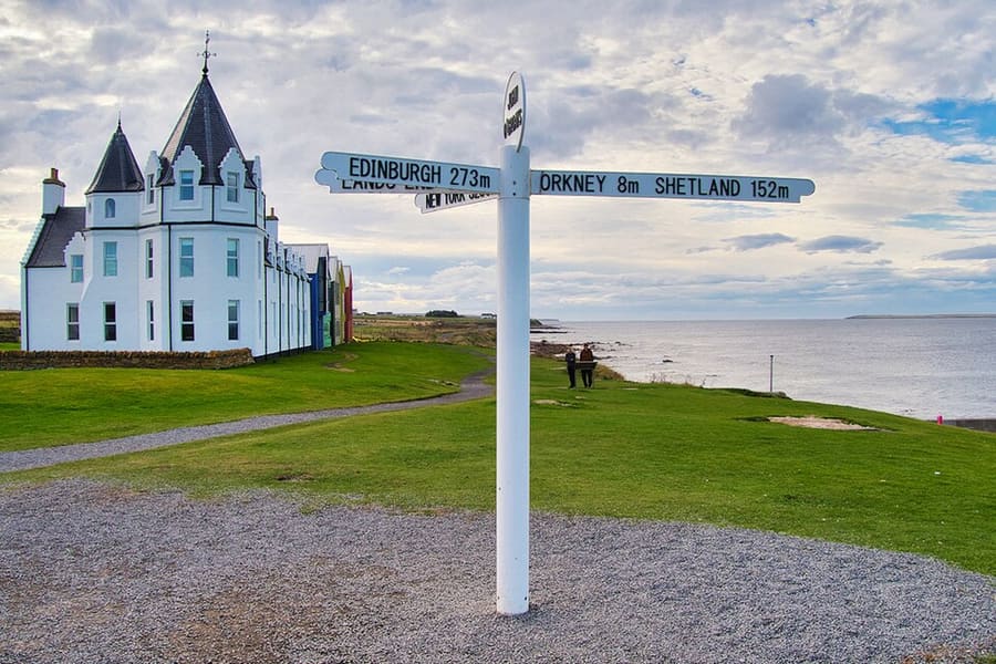
A mini guide to
Durness, Thurso & John o' Groats: tips and FAQs
Local know-how and common questions
Local know-how
Tips for visiting
Fill up when you can
Villages between Durness and Thurso are far apart, so keep the tank or battery topped up and plan where to stop.
Check opening before a long drive
The Castle of Mey, Smoo Cave tours and Cocoa Mountain all have seasonal hours. Check their websites first.
Book Orkney crossings in summer
NorthLink sails from Scrabster and Pentland Ferries from Gills Bay; book vehicle space ahead on busy dates.
Take care on cliff paths
Dunnet Head, Duncansby Head and Holborn Head have unfenced cliff edges. Keep dogs and children close, especially in wind.
FAQ
Frequently asked questions
Where is Durness, Thurso & John o' Groats?
Durness, Thurso & John o' Groats is in North Coast 500, Scotland. Sea caves, sandy bays, the mainland's northernmost points and the ferries to Orkney. Nearby stops and stations include Thurso, Scrabster, Gills Bay.
How long do I need in Durness, Thurso & John o' Groats?
Two to three days for the drive from Durness to John o' Groats. Allow longer if you plan to eat out or visit several attractions.
What are the highlights?
Highlights include Smoo Cave, Balnakeil Bay and church, Ceannabeinne. See the Things to do page for more.
How do I get there?
Nearby: Thurso (Rail); Scrabster (NorthLink ferry to Stromness); Gills Bay (Pentland Ferries to St Margaret's Hope); A836 and A99 (Car). The Getting there page links to the official timetables and journey planners.
Where can I eat and drink?
We list 6 places to eat and drink in and around Durness, Thurso & John o' Groats, with filters to help you choose.
Where should I stay?
We list 11 hotels and other places to stay nearby. Check availability and prices with each property.
Is Durness, Thurso & John o' Groats accessible?
Accessibility varies by street, building and venue. Check each attraction or operator’s access information before you travel.
While you are here
Things to see in Durness, Thurso & John o' Groats
A few of the sights in the area. The Things to do page lists them all, with directions and official links.
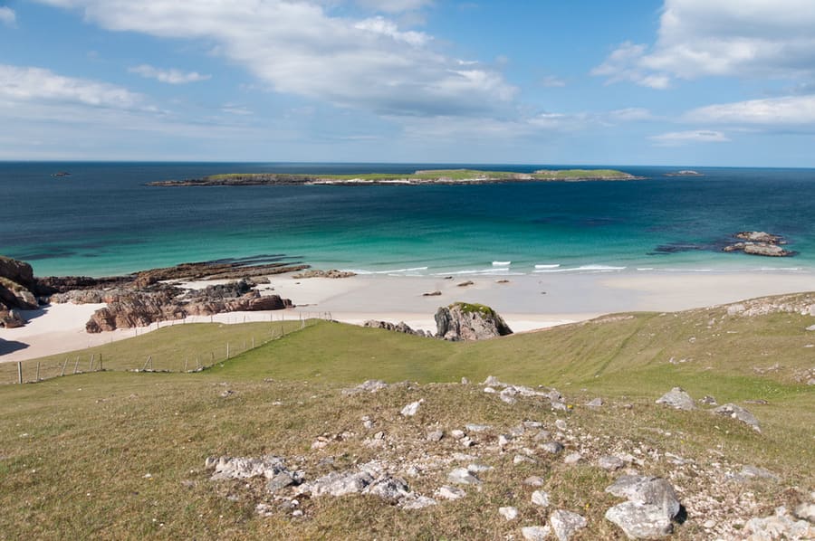
Ceannabeinne
Ruined township east of Durness, beside a sandy beach looking out to Eilean Hoan.
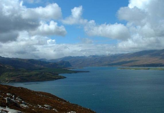
Loch Eriboll
Sea loch about 16 km long, long used as a sheltered anchorage, with 19th-century lime kilns at Ard Neakie.
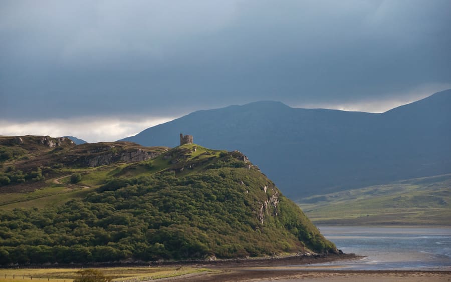
Castle Varrich
Ruin on a rocky high point above Tongue and the Kyle of Tongue, linked with the chiefs of Clan Mackay.
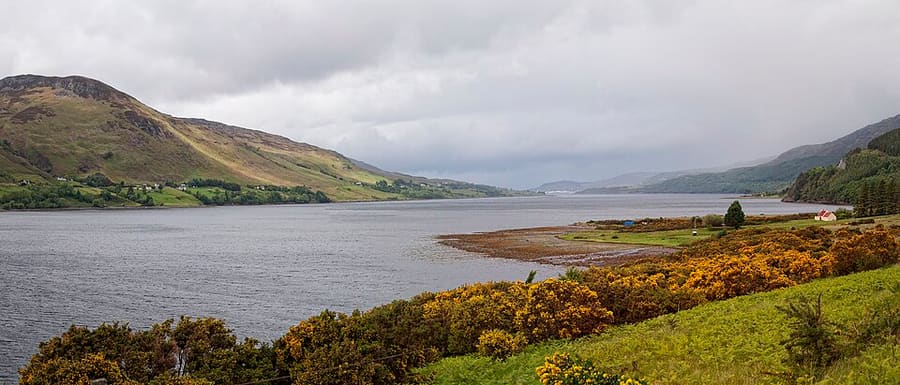
Photo credits
- John o' Groats: David Dixon, CC BY-SA 2.0, source
- Ceannabeinne: Paul Hermans, CC BY-SA 3.0, source
- Loch Eriboll: Dorcas Sinclair, CC BY-SA 2.0, source
- Castle Varrich: Paul Hermans, CC BY-SA 3.0, source
- Ullapool, Coigach & Assynt: Paul Hermans, CC BY-SA 3.0, source
Photos from Wikimedia Commons, used under the licences shown. All photo credits
Keep exploring North Coast 500