 English (UK)
 English (US)
 Français
 Deutsch
 Español
 Italiano
 Nederlands
 简体中文
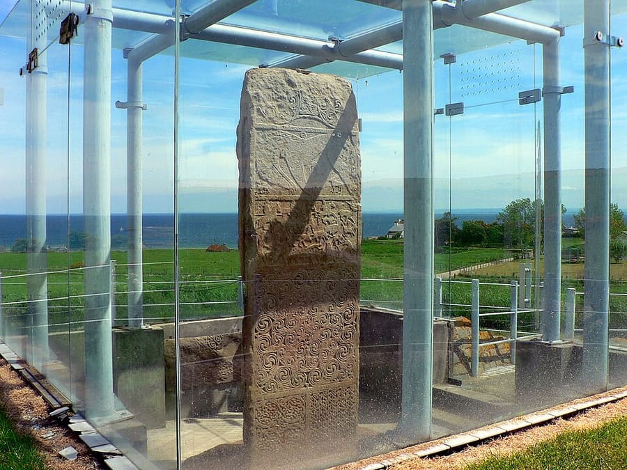
A mini guide to
The Black Isle & Easter Ross: getting there
Stops, stations and how to reach The Black Isle & Easter Ross
Stops and stations
Getting to The Black Isle & Easter Ross
Choose the stop closest to where you are going.
| Stop or station | Services | Good for |
|---|---|---|
| Inverness | Rail and coach hub | The nearest city; Black Isle communities are reached by road from here |
| Dingwall | Rail | Station on the Far North Line at the junction with the Kyle of Lochalsh line, managed by ScotRail |
| Tain | Rail | Unstaffed station on the Far North Line, 44 miles from Inverness, in the same building as Platform 1864 |
| Black Isle by road | Car | Cromarty, Fortrose and Rosemarkie are reached by road; check local bus operators for schedules |
Walking from nearby areas
- Inverness & Loch Ness: 13.7 km from The Black Isle & Easter Ross, better by public transport
- The Cairngorms: Aviemore & Grantown-on-Spey: 50.2 km from The Black Isle & Easter Ross, better by public transport
- Fort William, Glencoe & Ben Nevis: 102.5 km from The Black Isle & Easter Ross, better by public transport
- Isle of Skye: Portree & Dunvegan: 120.9 km from The Black Isle & Easter Ross, better by public transport
Reaching the Scottish Highlands
Official travel information
Inverness is the main air and rail gateway to the Highlands, and Glasgow is the usual starting point for Fort William and Oban. Always check each operator for current times, fares and disruption, particularly for ferries in bad weather.
- VisitScotland → — the national tourism site
- VisitScotland: driving in Scotland → — single-track roads and passing places
- Traffic Scotland → — roadworks, incidents and route checker
- Inverness Airport (HIAL) → — flights and passenger information
- CalMac → — ferries to Mull, Skye and other islands
- Citylink → — long-distance coaches
- Caledonian Sleeper → — overnight trains from London to the Highlands
- ScotRail → — trains in Scotland
- National Rail Inquiries → — train times and fares
- The Highland Council → — local information
- Cairngorms National Park → — the national park authority
- Mountain Weather Information Service → — hill forecasts
- Scottish Avalanche Information Service → — winter hill hazards
Times, fares and disruption change: use the operator pages above for live information.
Plan your journey here
Enter your starting point and Google Maps will show routes to The Black Isle & Easter Ross. Public transport is selected; change it on the map. Check operator sites for live disruption.
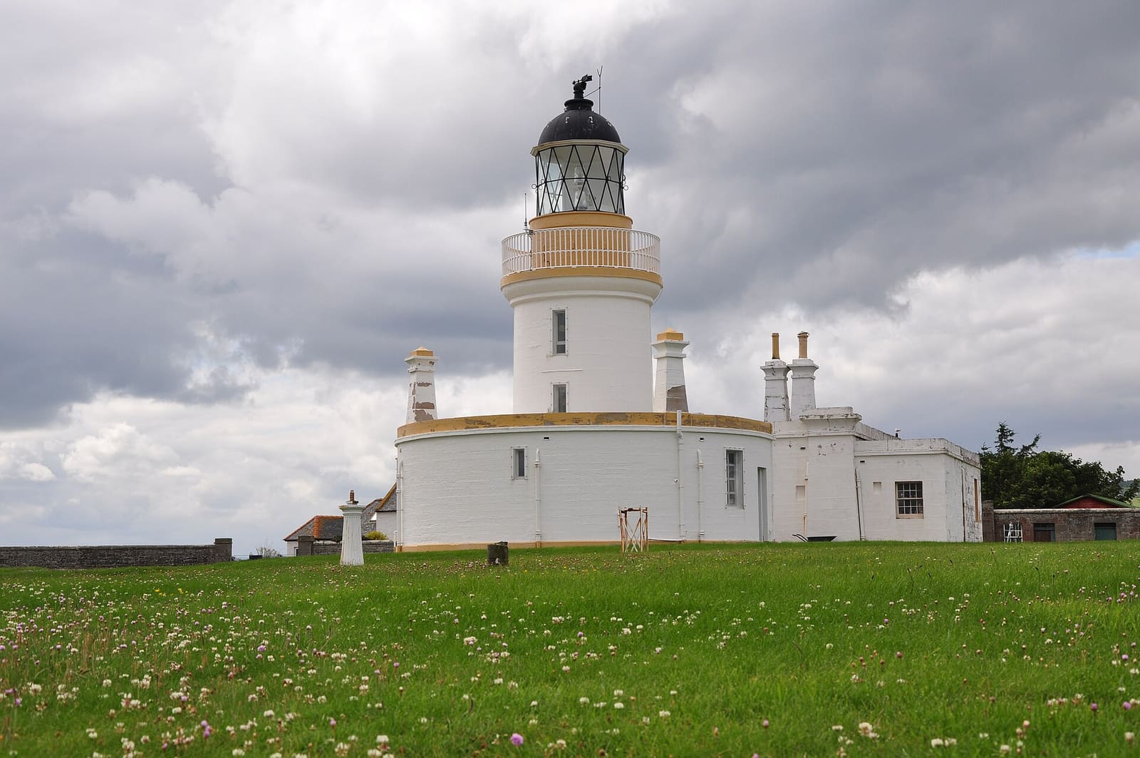
While you are here
Things to see in The Black Isle & Easter Ross
A few of the sights in the area. The Things to do page lists them all, with directions and official links.
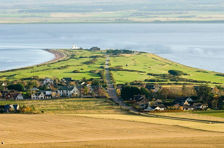
Chanonry Point
Spit between Fortrose and Rosemarkie where bottlenose dolphins can often be seen from the shore. The lighthouse was first lit in 1846.
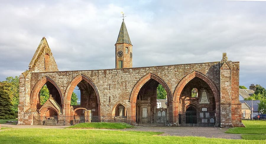
Fortrose Cathedral
Remains of the medieval cathedral of the diocese of Ross, in the care of Historic Environment Scotland.
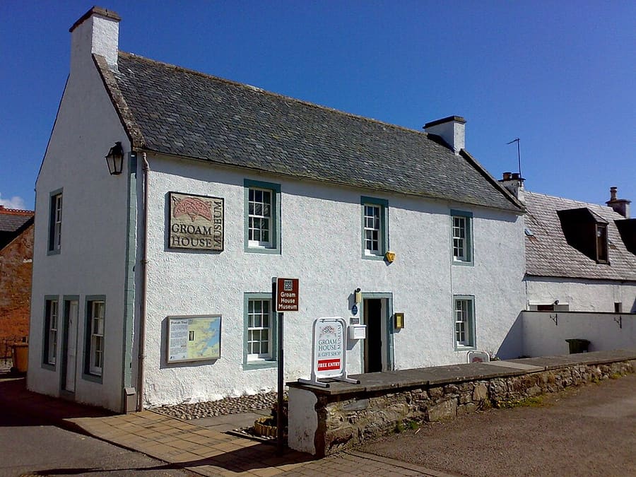
Groam House Museum
Museum of Pictish and Celtic art in Rosemarkie, home to the Rosemarkie Stone and the George Bain Collection.
The Scottish Highlands
More areas to explore
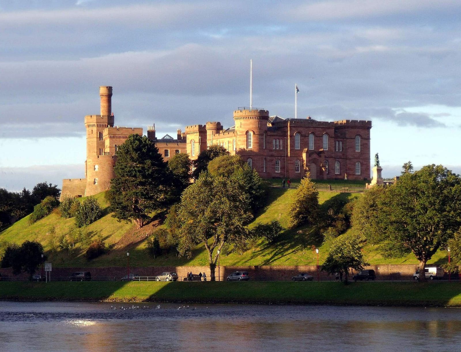
Inverness & Loch Ness
The Highland capital on the River Ness, with Culloden, Loch Ness and the Moray Firth coast within reach
Open the mini guide →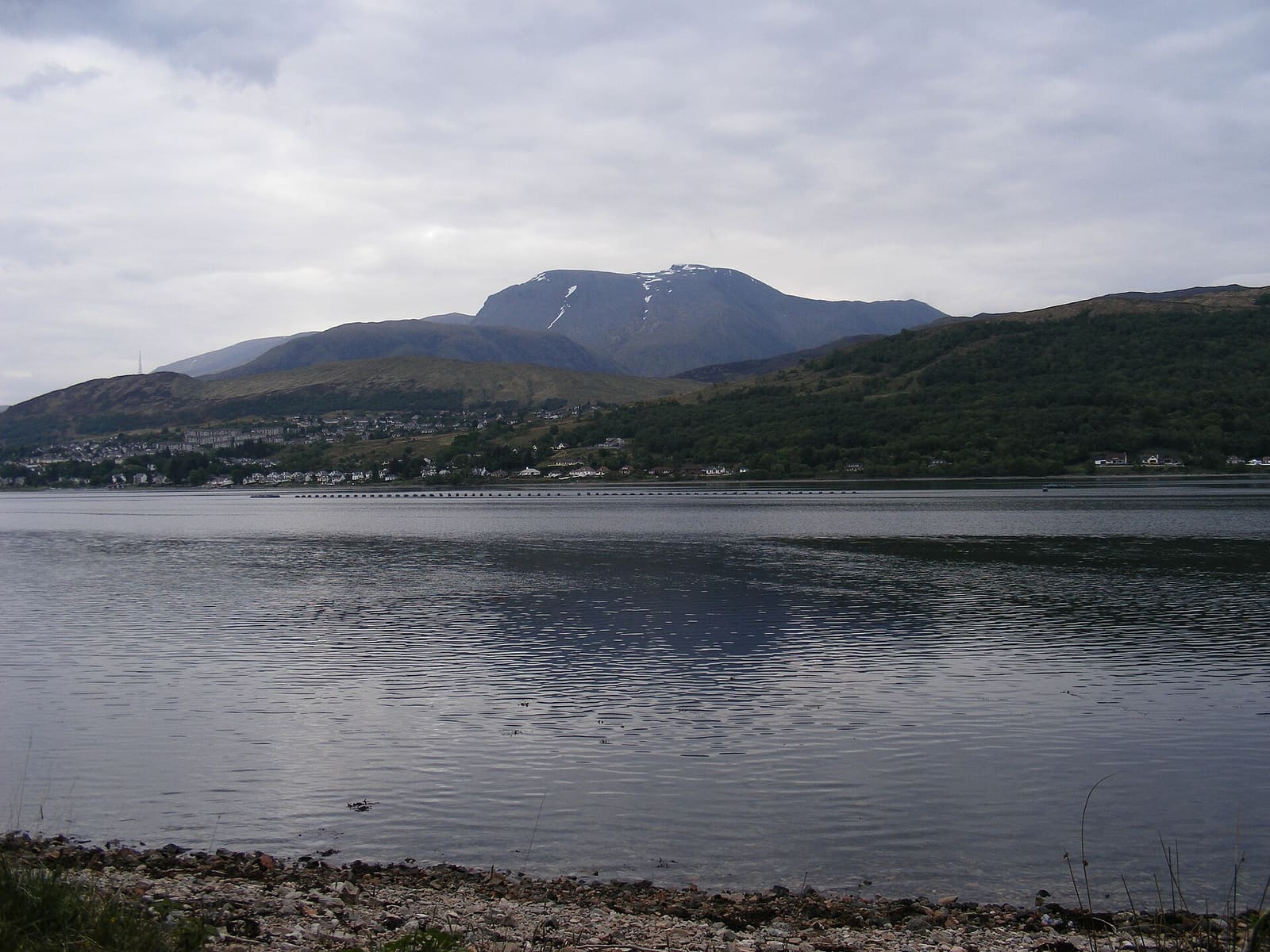
Fort William, Glencoe & Ben Nevis
Base for Ben Nevis, Glen Nevis, Glencoe and the Glenfinnan railway line
Open the mini guide →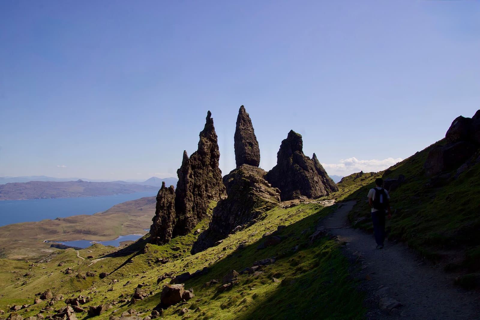
Isle of Skye: Portree & Dunvegan
Harbor town, clan castles and the Cuillin, reached by bridge or ferry
Open the mini guide →Photo credits
- Shandwick Stone: Wojsyl, CC BY-SA 3.0, source
- The Black Isle & Easter Ross (area photo): Vcarceler, CC BY-SA 3.0, source
- Chanonry Point: Shirehorse at English Wikipedia, CC BY-SA 3.0, source
- Fortrose Cathedral: DeFacto, CC BY-SA 4.0, source
- Groam House Museum: Groam House Museum, CC BY-SA 4.0, source
- Inverness & Loch Ness: dave conner from Inverness, Scotland, CC BY 2.0, source
- Fort William, Glencoe & Ben Nevis: Viewfinder at English Wikipedia, Public domain, source
- Isle of Skye: Portree & Dunvegan: Lauwz The Kiwistralian, CC0, source
- The Cairngorms: Aviemore & Grantown-on-Spey: dave conner, CC BY 2.0, source
- Oban, Argyll & the Mull ferry: Mike Hudson, CC BY-SA 3.0, source
Photos from Wikimedia Commons, used under the licences shown. All photo credits
Keep exploring the Scottish Highlands