 English (UK)
 English (US)
 Français
 Deutsch
 Español
 Italiano
 Nederlands
 简体中文
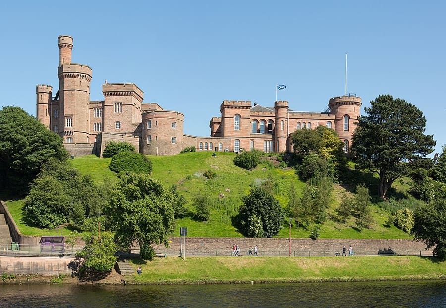
Castle
Inverness Castle
Red sandstone castle above the River Ness, completed in 1836 on a site fortified since 1057, now a Highland heritage visitor attraction.
A mini guide to
The Highland capital on the River Ness, with Culloden, Loch Ness and the Moray Firth coast within reach
 1 / 8
Welcome to the area
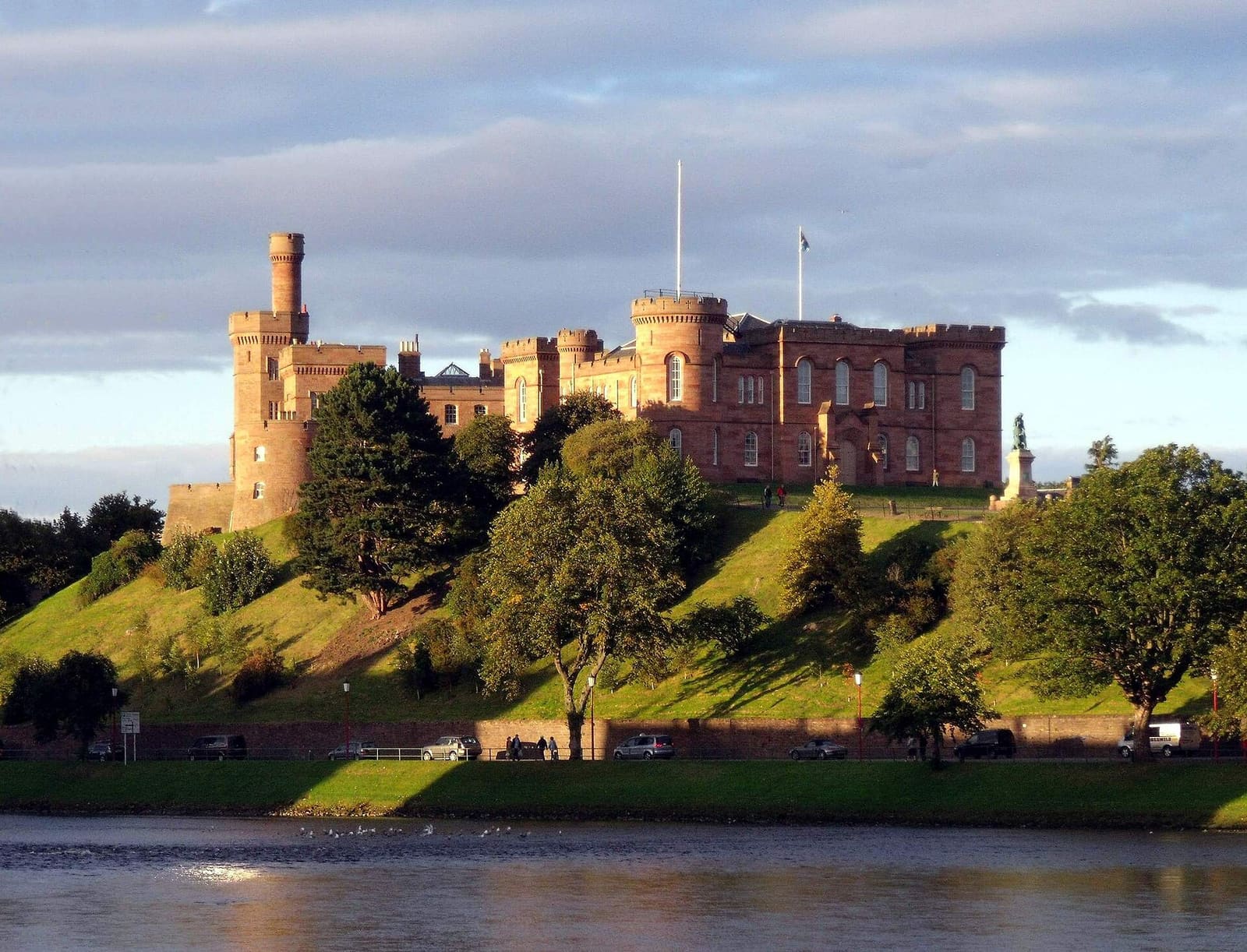
Inverness is the administrative center of the Highland council area, on the River Ness where it meets the Moray Firth. The red sandstone castle, completed in 1836, and the Scottish Episcopal cathedral of 1866 to 1869 stand close to the river, and the Ness Islands are a short walk upstream.
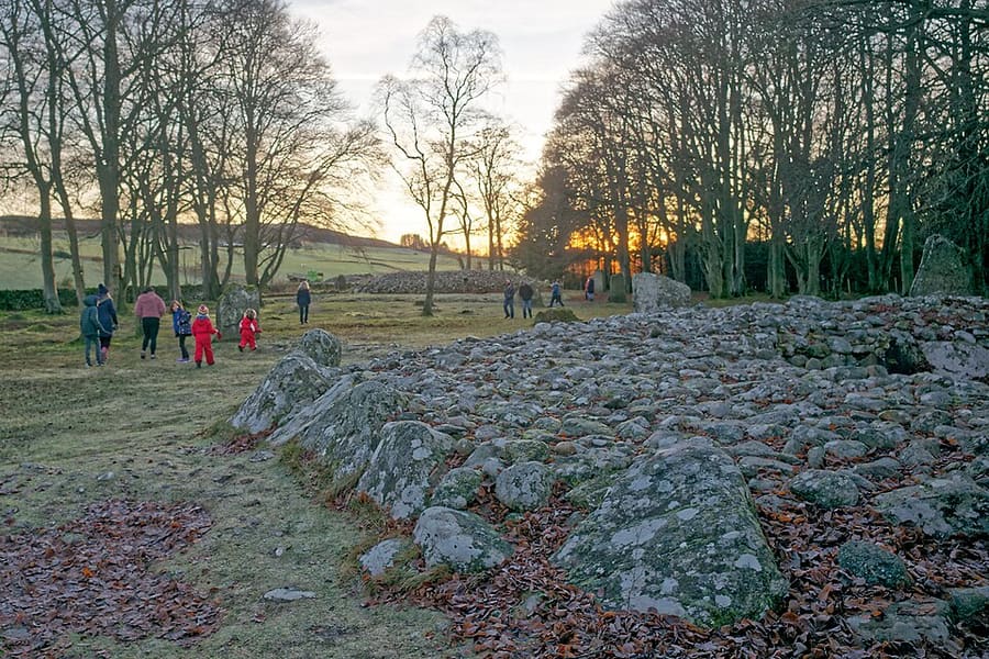
Most visitors use the city as a base. Culloden Battlefield, Clava Cairns and Fort George lie to the east, Urquhart Castle and Drumnadrochit are on the Loch Ness road to the south-west, and Fort Augustus is at the far end of the loch. Distances are longer than they look on a map, so check road and bus times before you set out.
Highlights
If you only have a few hours, these are good places to begin.
Red sandstone castle above the River Ness, completed in 1836 on a site fortified since 1057, now a Highland heritage visitor attraction.
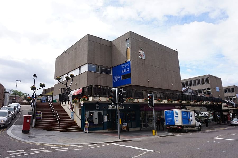
Museum and gallery on Castle Wynd, managed by High Life Highland on behalf of Highland Council.
Directions Website Report a problem with Inverness Museum and Art Gallery
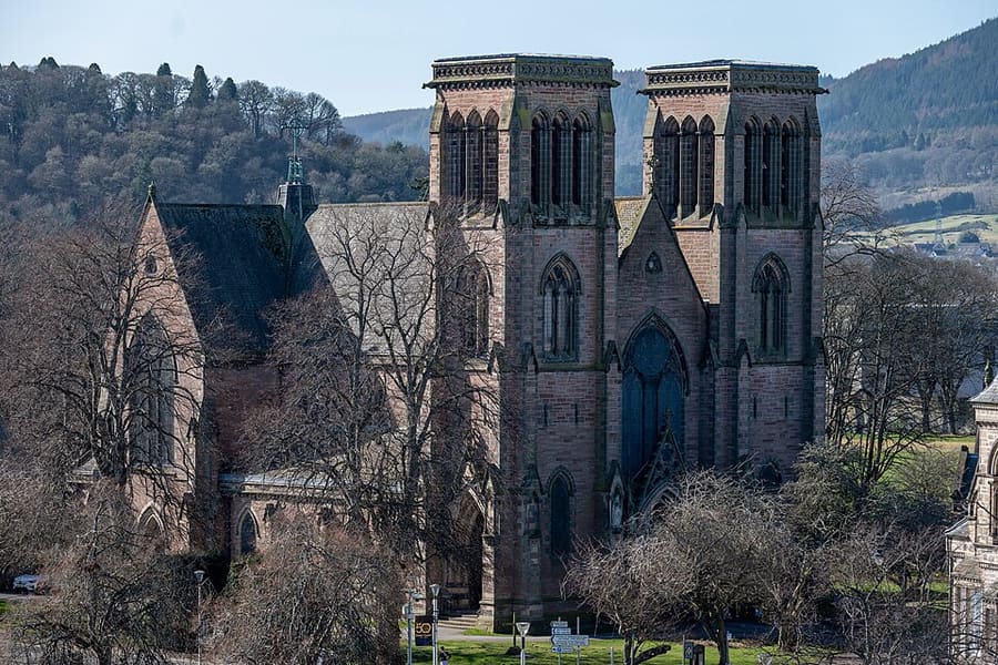
Scottish Episcopal cathedral dedicated to St Andrew, built between 1866 and 1869 beside the River Ness.
Directions Website Report a problem with Inverness Cathedral
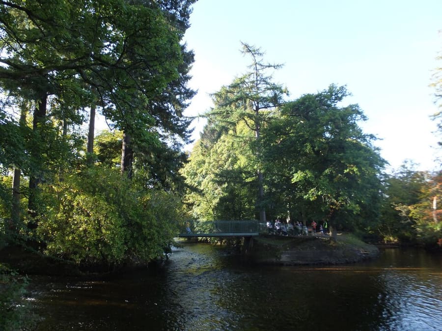
Wooded islands in the River Ness, joined by two suspension bridges from 1853 and 1854 that replaced those lost in a flood.
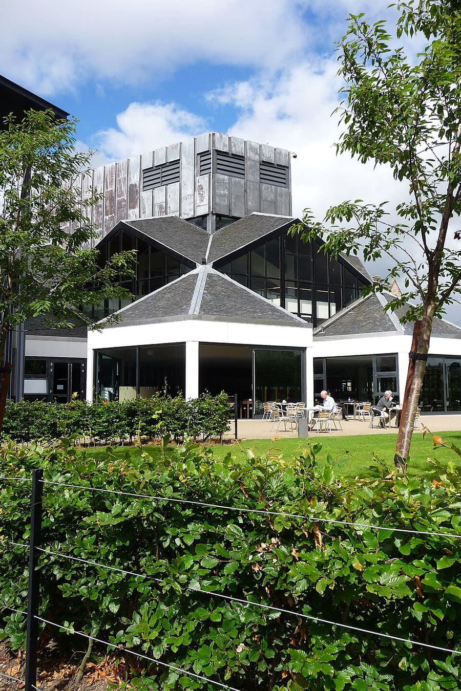
Theater, movie theater and arts venue beside the River Ness, with a restaurant and bar.
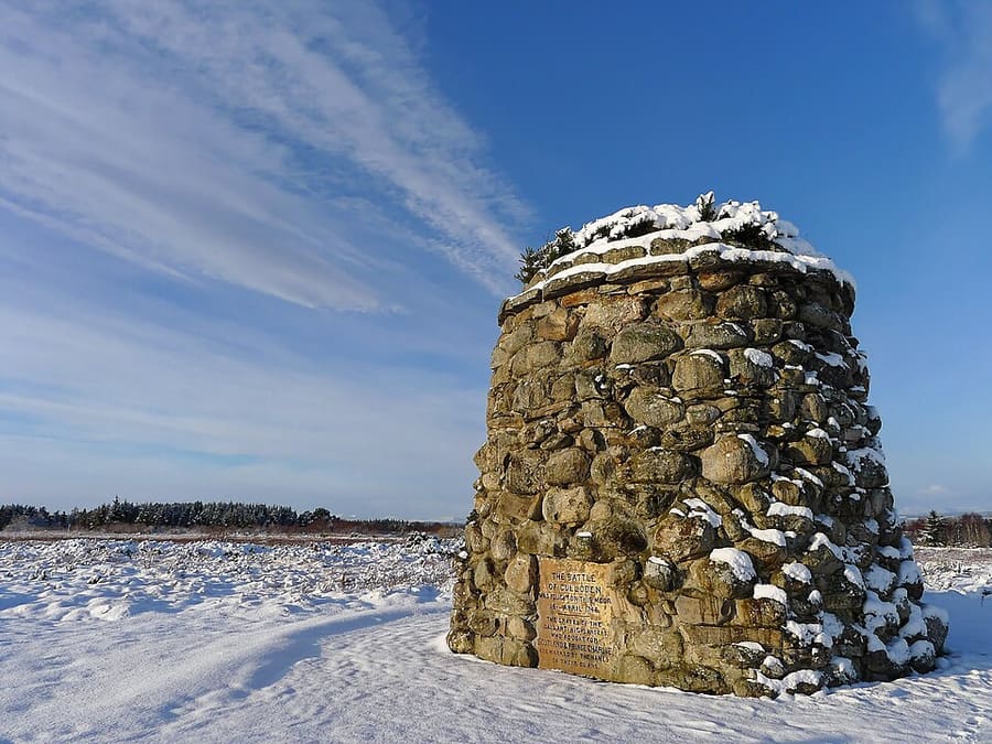
Moor east of Inverness where a Jacobite army was defeated on April 16, 1746, ending the 1745 rising.
Directions Website Report a problem with Culloden Battlefield
Find your way
The map shows Inverness & Loch Ness and the streets around it. The Getting there page lists nearby stops and stations.
Insider tips
Urquhart Castle is about 13 miles (21 km) south-west of the city on the A82, so allow time for the road and for a stop at Drumnadrochit.
Clava Cairns are close to Culloden Battlefield, so the two fit into one morning east of the city.
Inverness Castle Experience is a ticketed attraction. Check opening times and booking on its website before you go.
Fort George is still in military use as well as being a visitor site. Check access details with Historic Environment Scotland.
Tips from the Britlens editors
Explore this guide
The Scottish Highlands
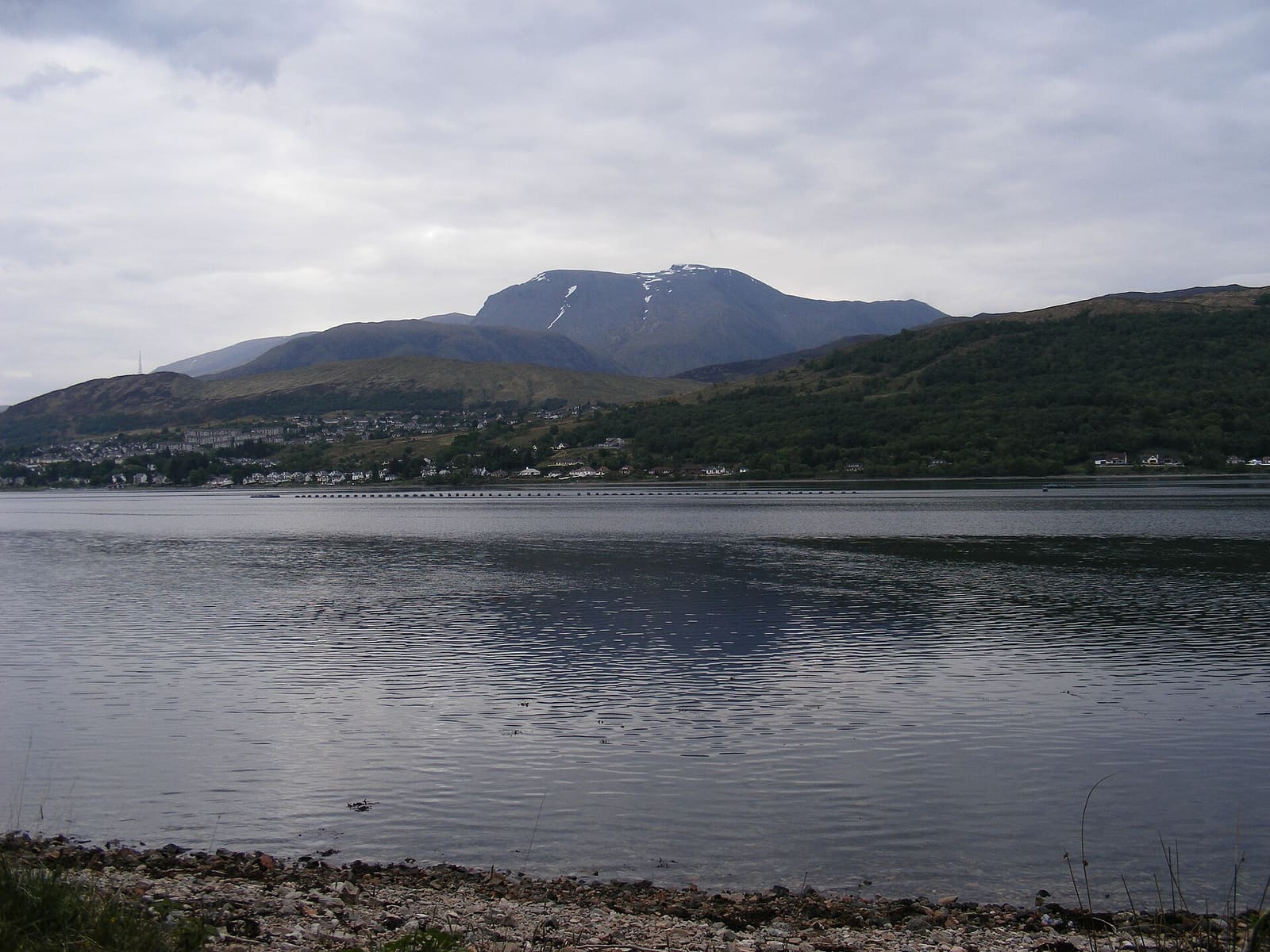
Base for Ben Nevis, Glen Nevis, Glencoe and the Glenfinnan railway line
Open the mini guide →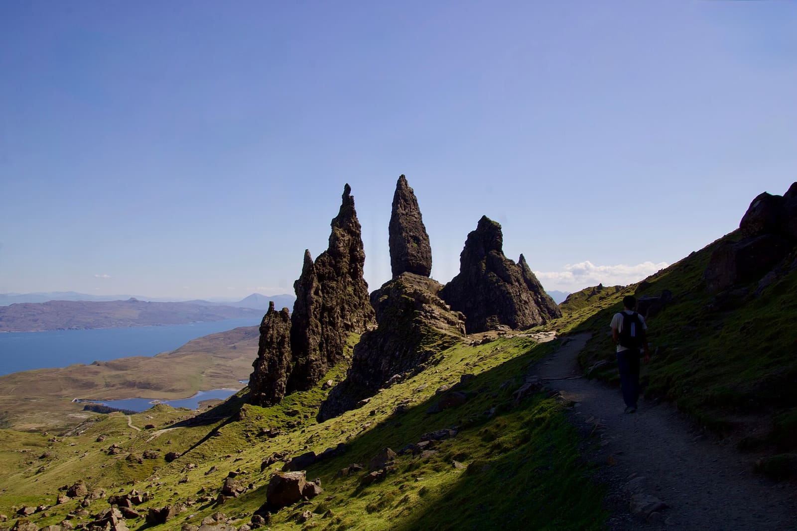
Harbor town, clan castles and the Cuillin, reached by bridge or ferry
Open the mini guide →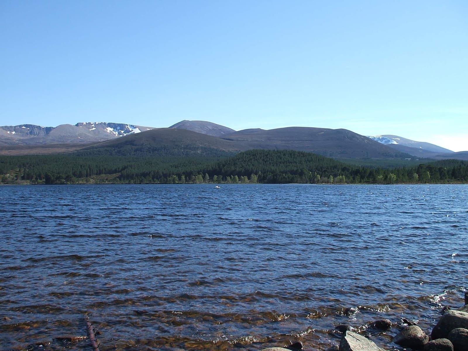
Mountains, ancient pine forest, steam trains and wildlife around Strathspey
Open the mini guide →Photos from Wikimedia Commons, used under the licences shown. All photo credits
Keep exploring the Scottish Highlands