 English (UK)
 English (US)
 Français
 Deutsch
 Español
 Italiano
 Nederlands
 简体中文
A mini guide to
Bourton-on-the-Water: getting there
Stops, stations and how to reach Bourton-on-the-Water
Stops and stations
Getting to Bourton-on-the-Water
Choose the stop closest to where you are going.
| Stop or station | Services | Good for |
|---|---|---|
| Moreton-in-Marsh station | GWR trains; Pulhams 801 bus onward | Nearest mainline station; the 801 is the Rail Link bus to Bourton-on-the-Water |
| Pulhams 801 | Moreton-in-Marsh, Bourton, Stow and Chipping Norton | Main bus route through the village; check Pulhams for current times |
Walking from nearby areas
- Stow-on-the-Wold: 5.4 km from Bourton-on-the-Water, better by public transport
- Burford: 11.8 km from Bourton-on-the-Water, better by public transport
- Broadway: 18.2 km from Bourton-on-the-Water, better by public transport
- Chipping Campden: 18.4 km from Bourton-on-the-Water, better by public transport
Reaching the Cotswolds
Official travel information
The Cotswolds have no airport of their own and only a few railway stations, so most visitors combine a train with a bus, a taxi or a car. Always check the operator for current times, fares and disruption.
- GWR: trains to the Cotswolds → — stations, routes and tickets
- GWR: Moreton-in-Marsh station → — facilities and onward travel
- National Rail Inquiries → — train times and fares
- Cotswolds tourism partnership: getting there by train and bus → — car-free routes and bus numbers
- Pulhams → — 801 and other Cotswold buses
- Stagecoach → — services to Oxford, Burford, Campden and Cirencester
- The Robin bookable bus → — Gloucestershire County Council
- Traveline → — journey planner for buses and trains
- Cotswold District Council: where to park → — parking lots in Bourton, Campden, Cirencester, Stow and more
- West Oxfordshire District Council: where to park → — parking lots in Burford
- National Trails: Cotswold Way → — route and trail information
Times, fares and disruption change: use the operator pages above for live information.
Plan your journey here
Enter your starting point and Google Maps will show routes to Bourton-on-the-Water. Public transport is selected; change it on the map. Check operator sites for live disruption.
While you are here
Things to see in Bourton-on-the-Water
A few of the sights in the area. The Things to do page lists them all, with directions and official links.
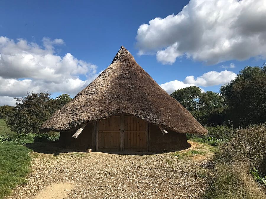
Replica Iron Age roundhouse
A replica Iron Age roundhouse, reached from the Greystones Farm yard by a path suitable for wheelchairs and strollers.
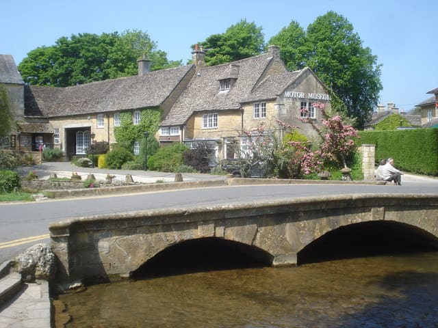
Cotswold Motoring Museum and Toy Collection
Museum of 20th-century motoring with cars, motorbikes, caravans, toys and memorabilia in the village center.
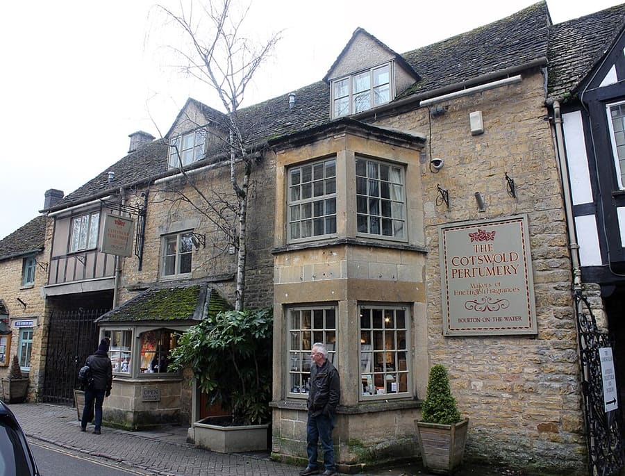
Cotswold Perfumery
Family-run fragrance maker, in business since 1966, with a Victoria Street workshop and perfume-making courses.
The Cotswolds
More areas to explore
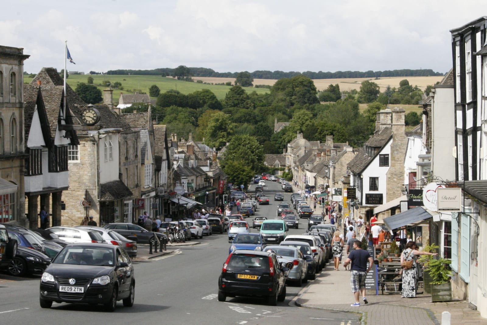
Burford
A steep medieval High Street running down to the River Windrush
Open the mini guide →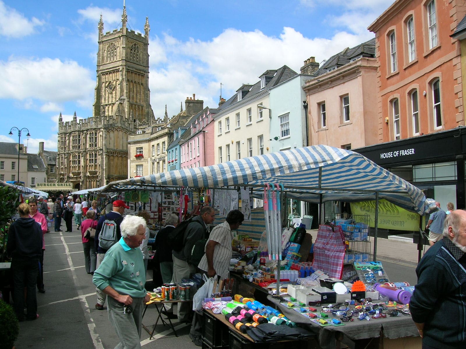
Cirencester
A Roman town turned wool town, with a museum, a landmark church and an amphitheater
Open the mini guide →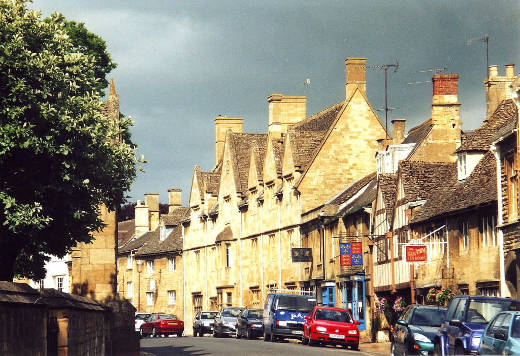
Chipping Campden
A wool town of stone terraces, a 1627 market hall and the start of the Cotswold Way
Open the mini guide →Photo credits
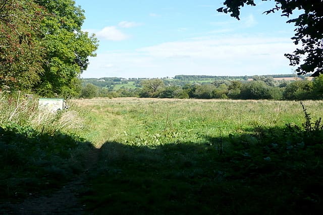
- Greystones Farm Nature Reserve: Graham Horn, CC BY-SA 2.0, source
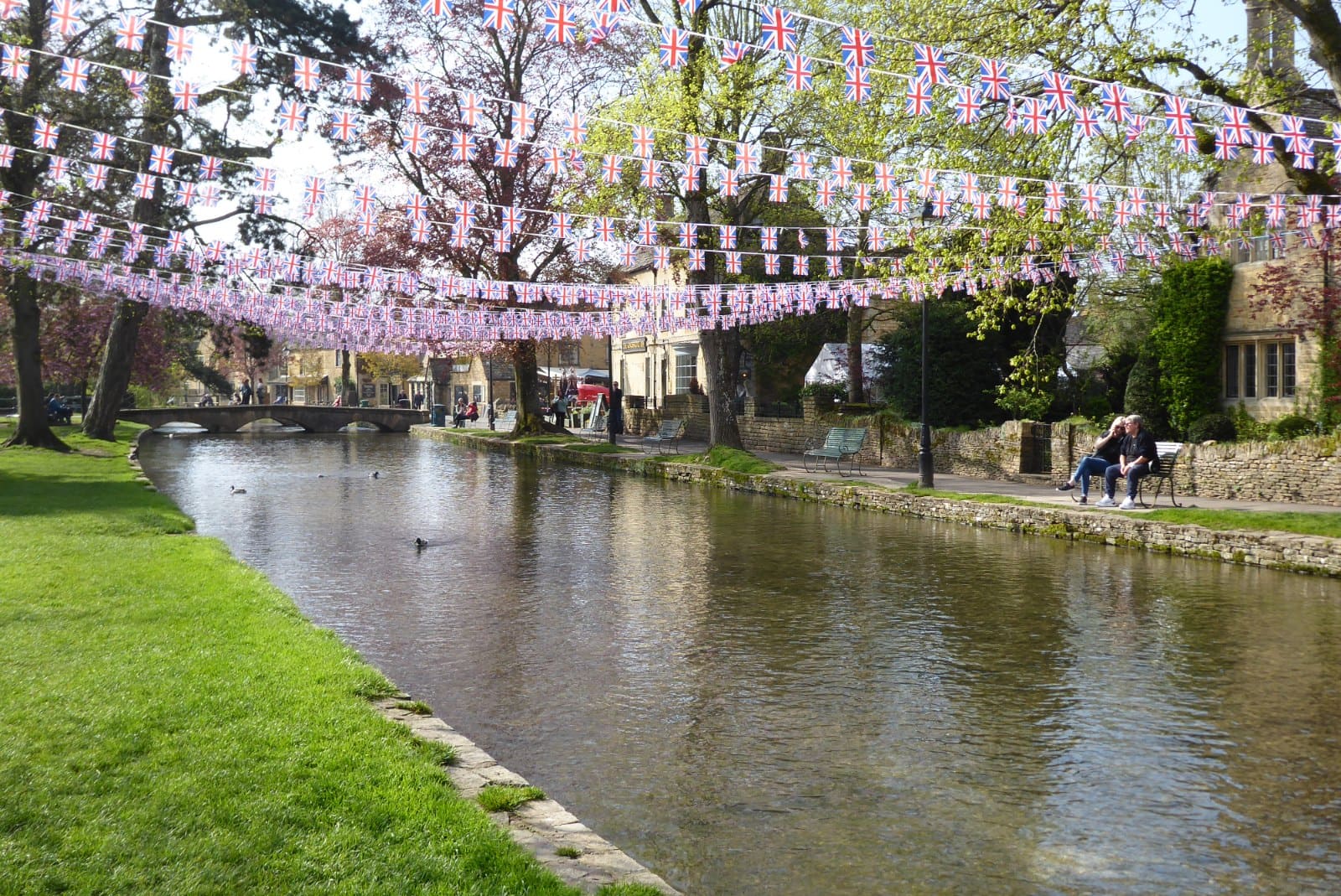
- Bourton-on-the-Water (area photo): Philip Halling, CC BY-SA 2.0, source
- Replica Iron Age roundhouse: don cload, CC BY-SA 2.0, source
- Cotswold Motoring Museum and Toy Collection: Trevor Rickard, CC BY-SA 2.0, source
- Cotswold Perfumery: Jo and Steve Turner, CC BY-SA 2.0, source
- Burford: bongo vongo, CC BY-SA 2.0, source
- Cirencester: Tony Grist, Public domain, source
- Chipping Campden: nick macneill, CC BY-SA 2.0, source
- Broadway: Jeff Gogarty, CC BY-SA 2.0, source
- Stow-on-the-Wold: Bill Boaden, CC BY-SA 2.0, source
Photos from Wikimedia Commons, used under the licences shown. All photo credits
Keep exploring the Cotswolds