 English (UK)
 English (US)
 Français
 Deutsch
 Español
 Italiano
 Nederlands
 简体中文
Good without a car Our reading of the sources below, not an official rating.
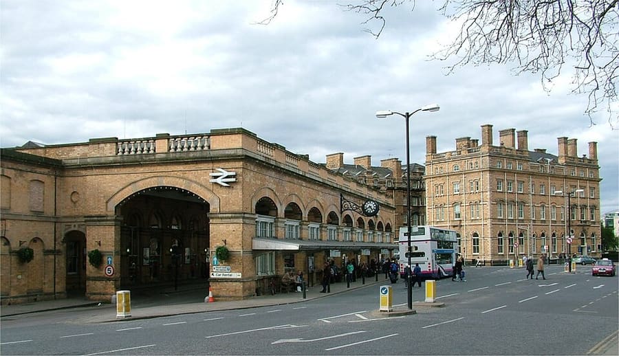

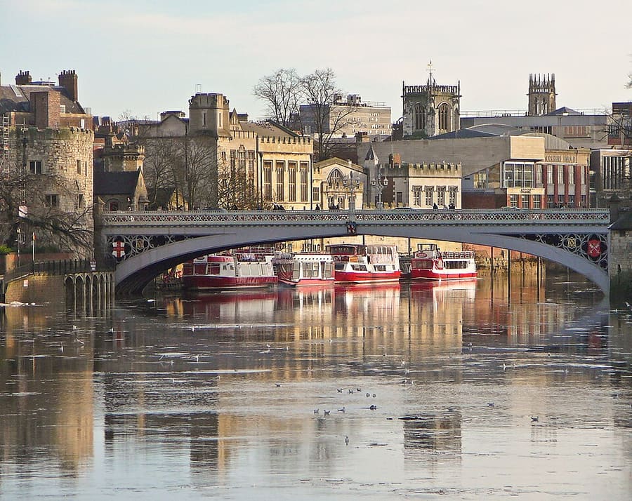

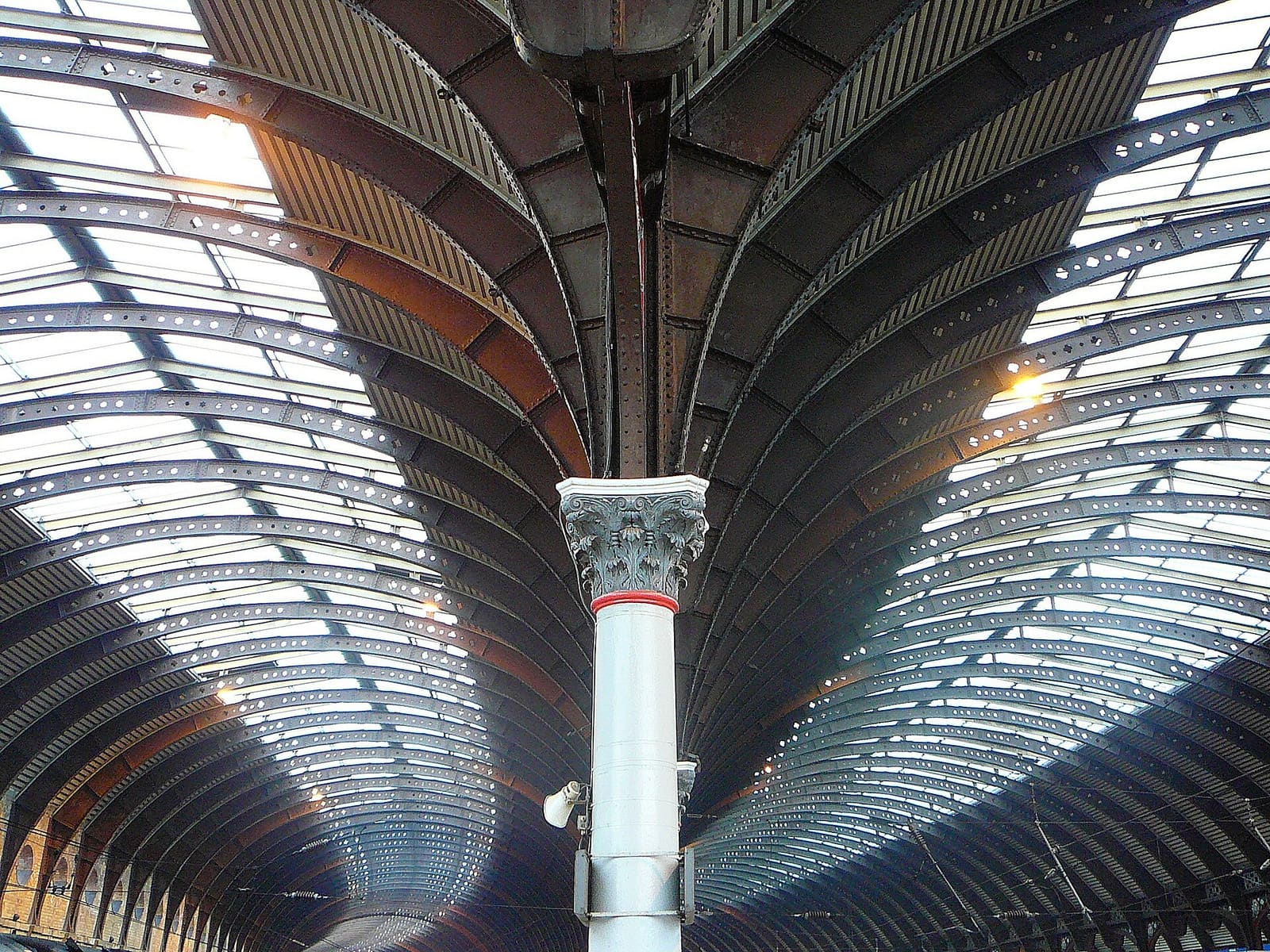

Stations, bridges and harbours from our guide where we hold a photo; each links to the area page that lists it.
Paying for local transport in York
First York Park & Ride
- First York lists Park & Ride sites at Rawcliffe Bar, Poppleton, Askham Bar, Designer Outlet, Grimston Bar and Monks Cross. You can buy in the First Bus app or pay the driver by cash or contactless card. Ticket types include day return, week, month and annual, and a York by bus smart card for regular users. On 25 October 2026 First reported Monks Cross (service 9) not running because a stop was closed.Source: First Bus (opens in new tab).
Without a car
Getting here
By train
Visit York says LNER and Grand Central bring passengers from London in under two hours, with about 1 hour 50 minutes listed for the journey. TransPennine Express runs direct trains from Liverpool, Manchester and Newcastle. 1
Visit York: travel to York (opens in new tab) · LNER (opens in new tab) · TransPennine Express (opens in new tab) · National Rail: York (opens in new tab)
By coach and bus
Visit York says Coastliner buses run from Scarborough and Whitby, and East Yorkshire buses from Hull and the surrounding area. For national coach services, check the operators. 1
Visit York: travel to York (opens in new tab) · National Express (opens in new tab)
By air
Visit York names four international airports within easy travelling distance: Leeds Bradford, Manchester, Humberside and Doncaster Sheffield. 1
Once you are there
Walk the centre
The Minster, the Shambles, the castle area and the museums are all within a short walk of each other. The Micklegate and Bishopthorpe Road area is a longer walk to the south-west.
The city walls
The council says the walls can be walked for free, but they close in icy conditions and strong winds and have steps, so they are not step-free. Check the council page for closures. 2
Stops near each area
From our area guides (York): the stations and stops listed for each base. See each area's Getting there page for more.
Minster Quarter
- York station: LNER, Grand Central, TransPennine Express and others. A short walk from the Minster, across Lendal Bridge
- Park & Ride: Six council sites. Buses run from each site into the city centre; check the route timetable for times
The Shambles and Stonegate
- York station: LNER, Grand Central, TransPennine Express and others. Walk across Lendal Bridge and along Museum Street or Lendal
- Park & Ride: Six council sites. Buses run from each site into the city centre; check the route timetable for times
Castle, Fossgate and Walmgate
- York station: LNER, Grand Central, TransPennine Express and others. Walk through the city centre to the castle area
- Park & Ride: Six council sites. Buses run from each site into the city centre; check the route timetable for times
Micklegate and Bishopthorpe Road
- York station: LNER, Grand Central, TransPennine Express and others. A short walk from Micklegate Bar, just outside the walls
- Park & Ride: Six council sites. Buses run from each site into the city centre; check the route timetable for times
Station and Museum Gardens
- York station: LNER, Grand Central, TransPennine Express and others. On the East Coast Main Line, just outside the city walls
- Park & Ride: Six council sites. Buses run from each site into the city centre; check the route timetable for times
No timetables or fares are copied here: check the operator or Traveline for the day you travel. Taxis and ride-hailing apps operate in most towns, but we have no sourced coverage data for rural areas, so do not count on one at short notice.
With a car
By car and Park & Ride
Visit York describes York as about 20 minutes from the M1/M62 network. The council lists six Park & Ride sites with free parking in secure car parks and a bus into the city centre. 3
Park & Ride
Visit York lists six Park & Ride sites around the city with buses to the centre, and says there are free spaces at the sites. It does not describe footstreet or centre access rules and links to the council's page of temporary road closures. 4
Park & Ride
The council runs six Park & Ride routes, with free parking and a bus into the city centre. Operating times differ between routes, so check the route timetable. 5
General rules (driving on the left, licences, roundabouts, speed limits in mph, parking, tolls, EV charging): Driving in Britain. Charge points: Zapmap (opens in new tab).
To and from other regions
Straight-line distance from our region centres, and the fastest train time that National Rail publishes on its destination pages (not a timetable; it may include a change). Where we found no figure we say so. The full table is on getting between regions.
| To or from | Straight line | Fastest train (National Rail) | Notes |
|---|---|---|---|
| Bath | 299 km (186 miles) | No official figure found. Check National Rail (opens in new tab) | — |
| Bristol | 297 km (184 miles) | No official figure found. Check National Rail (opens in new tab) | — |
| Cambridge | 211 km (131 miles) | No official figure found. Check National Rail (opens in new tab) | — |
| Cardiff | 310 km (192 miles) | No official figure found. Check National Rail (opens in new tab) | — |
| Cornwall | 494 km (307 miles) | No official figure found. Check National Rail (opens in new tab) | — |
| Edinburgh | 259 km (161 miles) | 2 h 23 min 6 | — |
| Glasgow | 293 km (182 miles) | No official figure found. Check National Rail (opens in new tab) | — |
| Liverpool | 140 km (87 miles) | No official figure found. Check National Rail (opens in new tab) | — |
| London | 280 km (174 miles) | 1 h 46 min 6 | Visit York quotes 1 h 50 for the quickest trains (LNER and Grand Central). |
| Manchester | 93 km (58 miles) | 1 h 31 min 6 | Visit York quotes 1 h 30. |
| Northern Ireland | 376 km (233 miles) | No official figure found. Check National Rail (opens in new tab) | — |
| Oxford | 246 km (153 miles) | No official figure found. Check National Rail (opens in new tab) | — |
| Portsmouth and Southampton | 346 km (215 miles) | No official figure found. Check National Rail (opens in new tab) | — |
| Stratford & Warwickshire | 194 km (120 miles) | No official figure found. Check National Rail (opens in new tab) | — |
| The Cotswolds | 234 km (145 miles) | No official figure found. Check National Rail (opens in new tab) | — |
| The Jurassic Coast | 380 km (236 miles) | No official figure found. Check National Rail (opens in new tab) | — |
| The Lake District | 141 km (88 miles) | No official figure found. Check National Rail (opens in new tab) | — |
| The Peak District | 91 km (57 miles) | No official figure found. Check National Rail (opens in new tab) | — |
| The Scottish Highlands | 433 km (269 miles) | No official figure found. Check National Rail (opens in new tab) | — |
| Wales | 259 km (161 miles) | No official figure found. Check National Rail (opens in new tab) | — |
Figures retrieved 25 Oct 2026 for the intercity data. Timetables change.
Stations in our data
4 stations and stops (York)
OpenStreetMap contributors (ODbL), via Overpass API. Fetched 2026-11-01. This is the list behind the near-me page, not a complete list of stations.
- Askham Bar Park & Ride (bus)
- Erskine Halt (rail), York Model Engineers
- Monks Cross Park & Ride (bus)
- York (rail), London North Eastern Railway
Official links
- Visit York: travel to York (opens in new tab): trains, buses, airports and driving
- Visit York: travel in York (opens in new tab): getting around the city
- City of York Council: Park & Ride (opens in new tab): official council page
- iTravel York: Park & Ride (opens in new tab): sites and bus services
- LNER (opens in new tab): East Coast Main Line trains
- TransPennine Express (opens in new tab): direct trains from Manchester, Liverpool and Newcastle
- National Rail: York (opens in new tab): station information and journey planning
More on York: York guide · how to get there
Questions people ask
Can I get around York without a car?
York's centre is compact: Visit York says you can cross it on foot in about 20 minutes. The city has a mainline railway station served by LNER and TransPennine Express, and Park & Ride for drivers.
Do I need to check a driving zone in York?
We found no charging or low emission zone for York in the official pages we read. Check the council site before you drive in.