 English (UK)
 English (US)
 Français
 Deutsch
 Español
 Italiano
 Nederlands
 简体中文
A mini guide to
Station and Museum Gardens: getting there
Stops, stations and how to reach Station and Museum Gardens
Stops and stations
Getting to Station and Museum Gardens
Choose the stop closest to where you are going.
| Stop or station | Services | Good for |
|---|---|---|
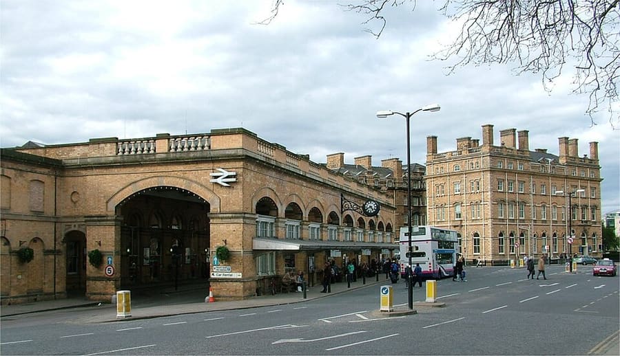
| York station | LNER, Grand Central, TransPennine Express and others | On the East Coast Main Line, just outside the city walls |
| Park & Ride | Six council sites | Buses run from each site into the city centre; check the route timetable for times |
Within walking range
Stations near Station and Museum Gardens
Stations and stops mapped in OpenStreetMap within 2.5 km of the centre of Station and Museum Gardens, nearest first. Distances are straight lines; walking times assume 5 km/h and are a minimum.
| Station or stop | Type | Distance | On foot |
|---|---|---|---|
| York | Rail station (London North Eastern Railway) | 400 m | about 5 min |
| Erskine Halt | Rail station (York Model Engineers) | 2.2 km | about 26 min |
Station data: © OpenStreetMap contributors (ODbL), read 1 November 2026. Check step-free access with the operator before you travel.
Walking from nearby areas
- Minster Quarter: 600 m from Station and Museum Gardens, about 8 min on foot
- The Shambles and Stonegate: 700 m from Station and Museum Gardens, about 8 min on foot
- Micklegate and Bishopthorpe Road: 1000 m from Station and Museum Gardens, about 12 min on foot
- Castle, Fossgate and Walmgate: 1.0 km from Station and Museum Gardens, about 12 min on foot
Reaching York
Official travel information
York is on the East Coast Main Line and its railway station is just outside the city walls, a short walk from the centre. The nearest major airports are a drive away. Always check the operators for current times, fares and disruption.
- Visit York: travel to York → — trains, buses, airports and driving
- Visit York: travel in York → — getting around the city
- City of York Council: Park & Ride → — official council page
- iTravel York: Park & Ride → — sites and bus services
- LNER → — East Coast Main Line trains
- TransPennine Express → — direct trains from Manchester, Liverpool and Newcastle
- National Rail: York → — station information and journey planning
Times, fares and disruption change: use the operator pages above for live information.
Plan your journey here
Enter your starting point and Google Maps will show routes to Station and Museum Gardens. Public transport is selected; change it on the map. Check operator sites for live disruption.
While you are here
Things to see in Station and Museum Gardens
A few of the sights in the area. The Things to do page lists them all, with directions and official links.
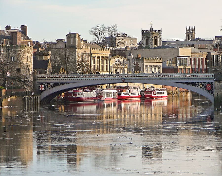
Lendal Bridge
Road bridge across the River Ouse between the station and the city centre.
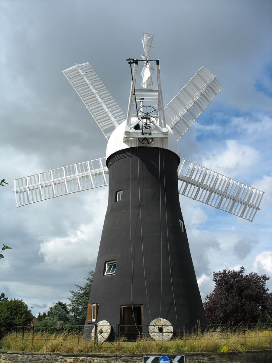
Holgate Windmill
Windmill west of the centre, restored and run by volunteers from a preservation society.
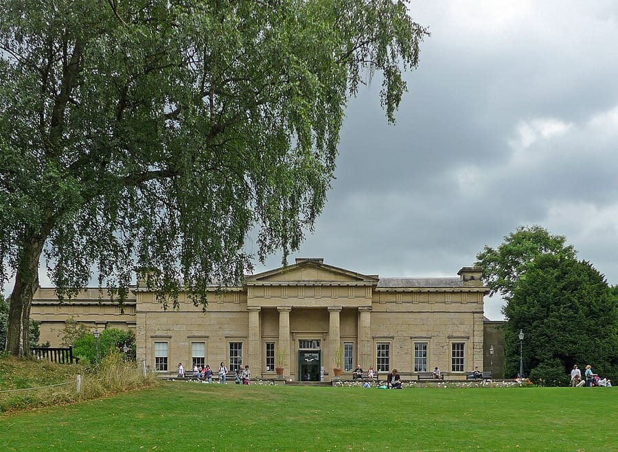
Yorkshire Museum
Museum of archaeology and natural history in the Museum Gardens, run by York Museums Trust.
York
More areas to explore
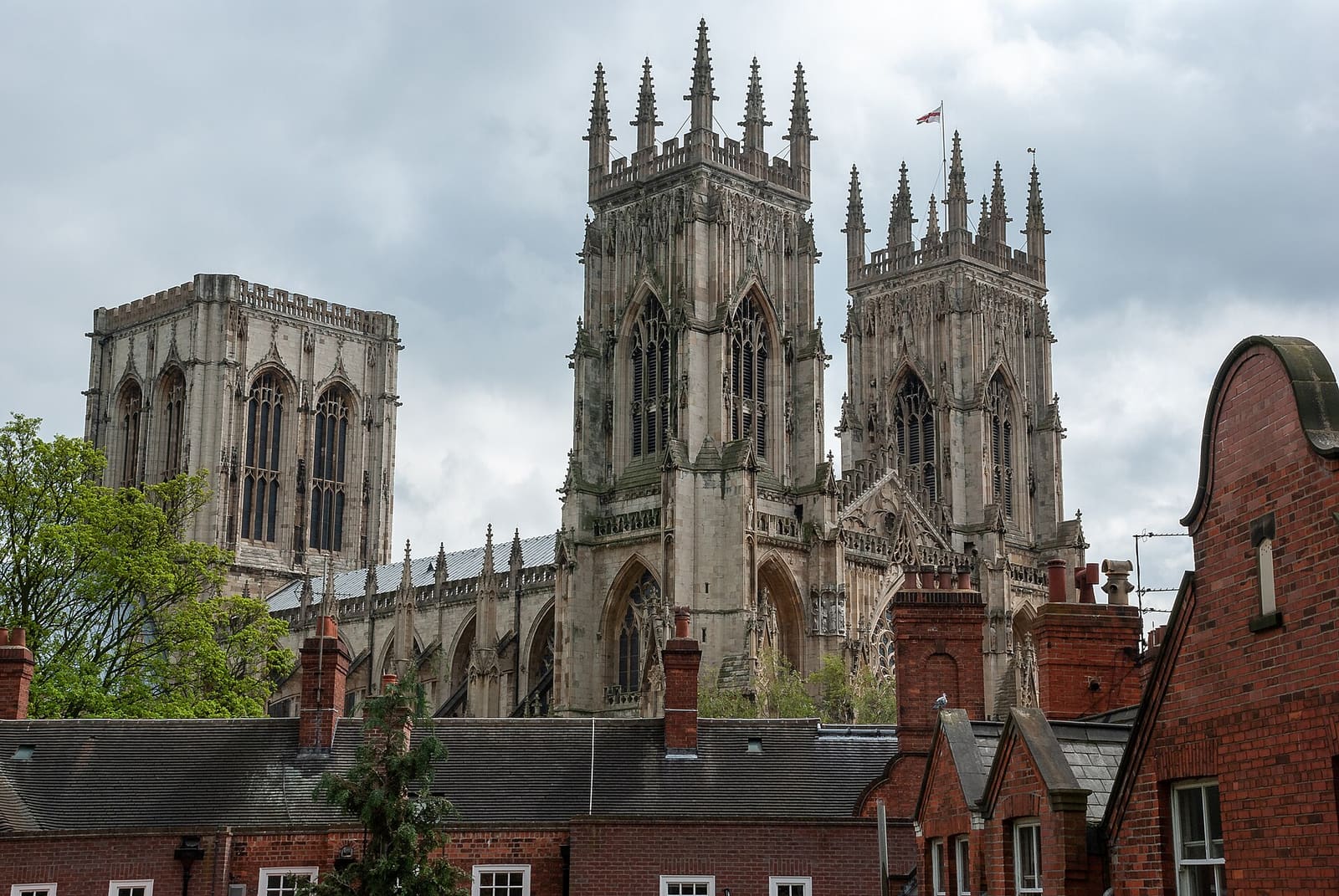
Minster Quarter
York Minster and the medieval streets, gates and halls around it
Open the mini guide →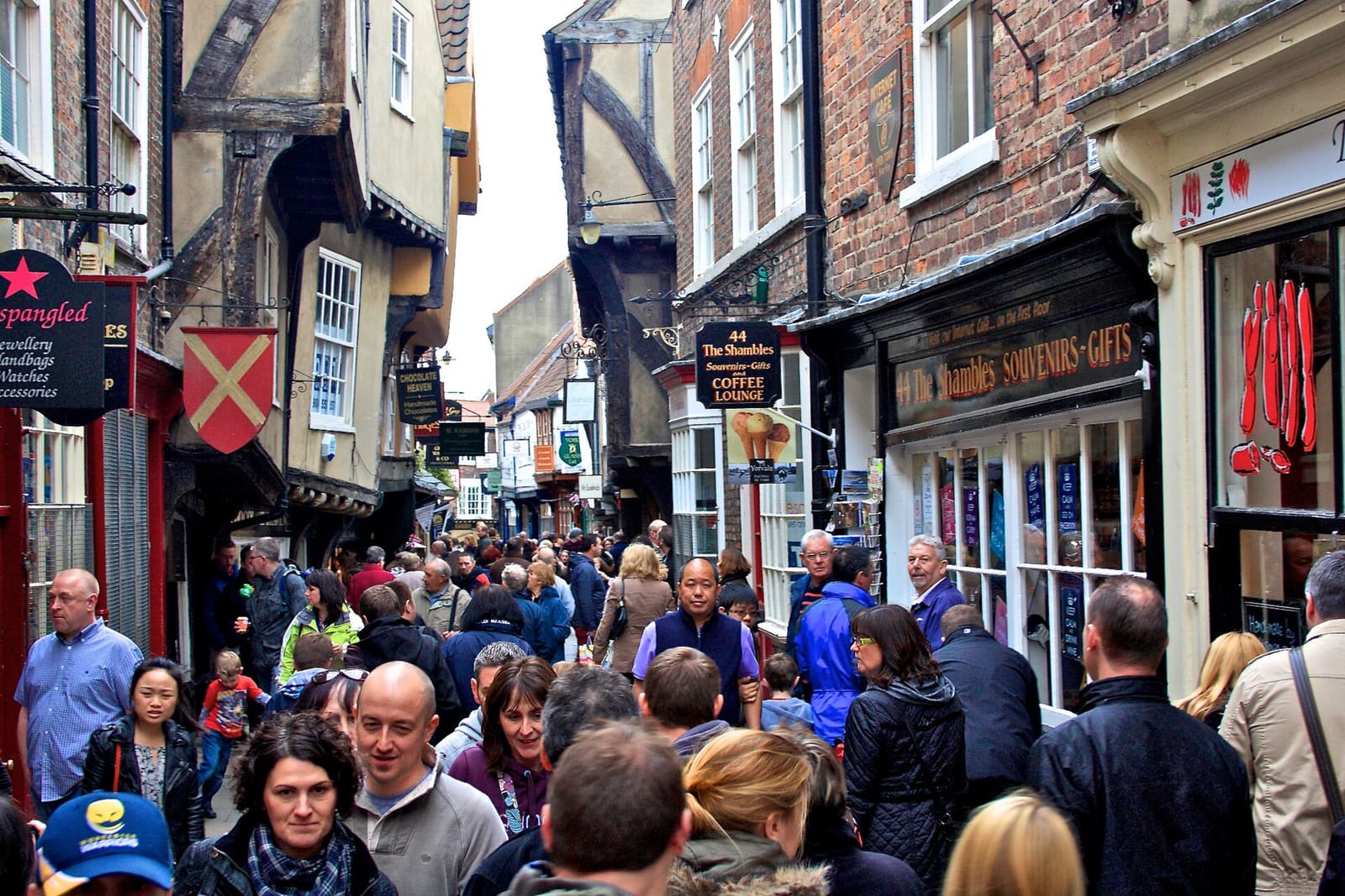
The Shambles and Stonegate
The Shambles, Stonegate and the narrow lanes of the old city centre
Open the mini guide →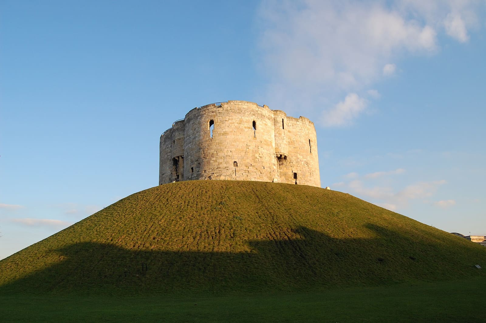
Castle, Fossgate and Walmgate
Clifford's Tower, the Castle Museum and the streets along the Foss
Open the mini guide →Photo credits
- York railway station: The original uploader was Tagishsimon at English Wikipedia., CC BY-SA 3.0, source
- Station and Museum Gardens (area photo): Tim Green from Bradford, CC BY 2.0, source
- Lendal Bridge: Tim Green from Bradford, CC BY 2.0, source
- Holgate Windmill: Synaptic peach, CC BY-SA 3.0, source
- Yorkshire Museum: Tim Green from Bradford, CC BY 2.0, source
- Minster Quarter: Chris Gorringe, CC BY-SA 2.0, source
- The Shambles and Stonegate: Paul Buckingham, CC BY-SA 2.0, source
- Castle, Fossgate and Walmgate: Steven Fruitsmaak, Public domain, source
- Micklegate and Bishopthorpe Road: Tim Green, CC BY 2.0, source
Photos from Wikimedia Commons, used under the licences shown. All photo credits
Keep exploring York