 English (UK)
 English (US)
 Français
 Deutsch
 Español
 Italiano
 Nederlands
 简体中文
Good without a car Our reading of the sources below, not an official rating.
We did not fetch Manchester council parking or driving pages, so this guide gives no city driving advice beyond the links below.
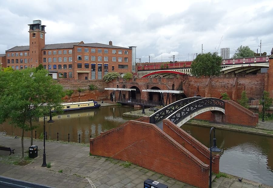

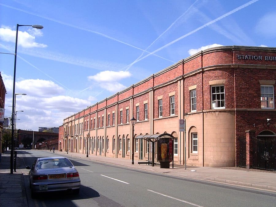

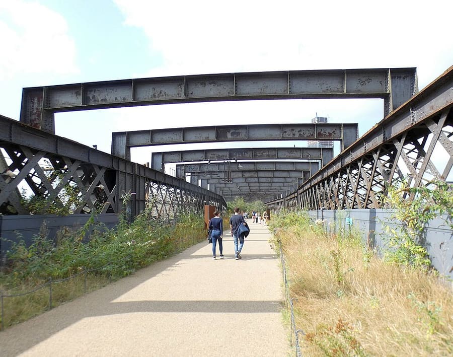

Stations, bridges and harbours from our guide where we hold a photo; each links to the area page that lists it.
Paying for local transport in Manchester
Bee Network
- The Bee Network's tickets and passes page lists bus tickets, tram fare zones, contactless tap and go, the Bee Network app, a smart card, and cash and card payment. It also links a ticket finder tool.Source: Transport for Greater Manchester (opens in new tab).
- On 1 November 2026 the Bee Network’s contactless page said that if you keep tapping the same card or device on buses and trams you pay no more than the capped fares: £9.50 a day or £41 a week for unlimited bus and tram travel. On trams you tap in before boarding and tap out at your final stop; on buses you tap once when you board.Source: Transport for Greater Manchester (opens in new tab), checked 1 Nov 2026.
Without a car
Getting here
By air
Manchester Airport is south of the city centre. Manchester Airport says trains to Piccadilly take around 20 minutes and run every 10 minutes, and that trams run direct to Victoria every 12 minutes. TfGM lists the 43 bus between the airport and Piccadilly Gardens. 1
Manchester Airport by train (opens in new tab) · Manchester Airport by tram (opens in new tab) · TfGM: getting to Manchester Airport (opens in new tab)
By train
Manchester Piccadilly is the main station, with Victoria to the north and Oxford Road and Deansgate on the southern side of the centre. Avanti West Coast's route page quotes approximately 2 hours 45 minutes from London Euston to Piccadilly. TransPennine Express and Northern also run services. 2
National Rail (opens in new tab) · Avanti West Coast (opens in new tab) · TransPennine Express (opens in new tab) · Northern (opens in new tab)
By tram
Metrolink trams cross the centre and reach Salford Quays, the Etihad Campus and Old Trafford. Tap in and out with a contactless card or device, or buy tickets on the Bee Network app. 3
Bee Network: tram (opens in new tab) · Contactless on bus and tram (opens in new tab)
By bus and coach
Bee Network buses connect at Piccadilly Gardens, Shudehill and Victoria. Long-distance coaches use Chorlton Street coach station, a few minutes' walk from Piccadilly Gardens, and some services use Shudehill Interchange. Check your operator for the stop. 4
Bee Network: bus (opens in new tab) · National Express (opens in new tab)
Once you are there
Tap and go on buses and trams
Transport for Greater Manchester says contactless works on Bee Network buses and trams: tap once on a bus, and tap in and out on a tram. It stated a cap of £9.50 a day or £41 a week for bus and tram on one card when we read it on 25 October 2026. It does not answer whether overseas cards work, so check with TfGM. 5
Walk the centre
The Northern Quarter, Chinatown, the civic centre and Castlefield are all within a short walk of each other. Salford Quays, Ancoats' eastern edge and the football stadiums are easier by tram.
Out to the southern suburbs
Metrolink stops include Chorlton, Didsbury Village and East Didsbury to the south, and Altrincham, Timperley, Brooklands and Sale to the south-west. Rusholme and Oxford Road are served by buses along Wilmslow Road and Oxford Road. 6
Tap and go on buses and trams
On a bus, tap once as you board. On a tram, tap in at the stop before boarding and tap out at your last stop. Use the same card or device each time and TfGM applies daily and weekly caps. 7
Access information
TfGM has pages on accessible travel on the Bee Network, including help for disabled passengers, and publishes details of planned tram works. 8
Stops near each area
From our area guides (Manchester): the stations and stops listed for each base. See each area's Getting there page for more.
Northern Quarter & Cathedral
- Piccadilly Gardens: Metrolink and Bee Network buses. Tram and bus interchange at the southern edge of the Quarter
- Market Street: Metrolink. Tram stop between the Arndale and the Quarter
- Shudehill: Metrolink and Bee Network buses. Tram stop and bus interchange at the northern end of the Quarter
- Victoria: Metrolink and National Rail. Station beside Cathedral Gardens and the National Football Museum
- Exchange Square: Metrolink. Tram stop beside the cathedral and the Corn Exchange
Spinningfields & Deansgate
- St Peter's Square: Metrolink. Tram stop beside the Central Library and Town Hall
- Market Street: Metrolink. Tram stop at the Arndale end of the shopping streets
- Deansgate-Castlefield: Metrolink. Tram stop at the southern end of Deansgate
- Salford Central: National Rail. Railway station on the western side of Spinningfields
Castlefield & the Canals
- Deansgate-Castlefield: Metrolink. Tram stop beside the canal basin, under the viaduct
- Deansgate: National Rail. Railway station at Deansgate and Whitworth Street West
- St Peter's Square: Metrolink. Tram stop in the civic centre, a short walk from the Science and Industry Museum
- Cornbrook: Metrolink. Interchange stop on the south-western edge of Castlefield
Piccadilly, Chinatown & the Village
- Piccadilly: National Rail and Metrolink. The city's main railway station and a tram stop
- Piccadilly Gardens: Metrolink and Bee Network buses. Tram and bus interchange beside the gardens
- Market Street: Metrolink. Tram stop a few minutes' walk from Chinatown
- St Peter's Square: Metrolink. Tram stop for Mosley Street and the Town Hall
Ancoats & New Islington
- New Islington: Metrolink. Tram stop at the eastern edge of Ancoats, beside the marina
- Piccadilly: National Rail and Metrolink. Main railway station, a short walk from the western end of Ancoats
- Holt Town: Metrolink. Next tram stop towards the Etihad Campus
- Etihad Campus: Metrolink. Tram stop for the Etihad Stadium and Sportcity
Salford Quays & MediaCity
- Salford Quays: Metrolink. Tram stop at the western end of the docks, near The Lowry
- MediaCityUK: Metrolink. Tram stop at the media development and Quayside
- Imperial War Museum: Metrolink. Tram stop for the Imperial War Museum North
- Exchange Quay: Metrolink. Tram stop near Ordsall Hall and, on match days, Old Trafford
- Old Trafford: Metrolink. Tram stop for the football and cricket grounds
Oxford Road & Rusholme
- Manchester Oxford Road: National Rail. Railway station on the southern side of the centre, a short walk from the campuses and the Contact theatre
- St Peter's Square: Metrolink. Tram stop in the civic centre, at the northern end of Oxford Road
- Oxford Road and Wilmslow Road: Bee Network buses. Buses run along Oxford Road and Wilmslow Road; use the Bee Network journey planner to pick a route
Chorlton & Didsbury
- Chorlton: Metrolink. Tram stop close to the centre of Chorlton
- St Werburgh's Road: Metrolink. Tram stop in Chorlton, a walk from Chorlton Green
- West Didsbury: Metrolink. Tram stop for Burton Road
- Didsbury Village: Metrolink. Tram stop for the village centre
- East Didsbury: Metrolink and National Rail. Tram stop and railway station at the southern end of Didsbury
Altrincham & Sale
- Altrincham Interchange: Metrolink, National Rail and Bee Network buses. Tram, rail and bus station on Stamford New Road, the south-western terminus of two tram routes
- Navigation Road: Metrolink. Tram stop on Navigation Road
- Timperley: Metrolink. Tram stop in Timperley
- Brooklands: Metrolink. Tram stop in Brooklands, Sale
- Sale: Metrolink. Tram stop in Sale
- Sale Water Park: Metrolink. Tram stop for the water park
No timetables or fares are copied here: check the operator or Traveline for the day you travel. Taxis and ride-hailing apps operate in most towns, but we have no sourced coverage data for rural areas, so do not count on one at short notice.
With a car
We hold no sourced driving notes for Manchester beyond the general rules.
General rules (driving on the left, licences, roundabouts, speed limits in mph, parking, tolls, EV charging): Driving in Britain. Charge points: Zapmap (opens in new tab).
To and from other regions
Straight-line distance from our region centres, and the fastest train time that National Rail publishes on its destination pages (not a timetable; it may include a change). Where we found no figure we say so. The full table is on getting between regions.
| To or from | Straight line | Fastest train (National Rail) | Notes |
|---|---|---|---|
| Bath | 234 km (145 miles) | No official figure found. Check National Rail (opens in new tab) | — |
| Bristol | 227 km (141 miles) | 3 h 5 min 9 | — |
| Cambridge | 213 km (132 miles) | No official figure found. Check National Rail (opens in new tab) | — |
| Cardiff | 231 km (144 miles) | 3 h 12 min 10 | — |
| Cornwall | 408 km (253 miles) | No official figure found. Check National Rail (opens in new tab) | — |
| Edinburgh | 282 km (175 miles) | 3 h 11 min 11 | National Rail's Manchester page lists 3 h 14. |
| Glasgow | 295 km (183 miles) | 3 h 11 min 12 | — |
| Liverpool | 50 km (31 miles) | 38 min 13 | — |
| London | 262 km (163 miles) | 2 h 6 min 14 | Avanti West Coast describes Euston to Piccadilly as about 2 h 45; the fastest service is quicker. |
| Northern Ireland | 322 km (200 miles) | No official figure found. Check National Rail (opens in new tab) | — |
| Oxford | 203 km (126 miles) | 2 h 48 min 15 | — |
| Portsmouth and Southampton | 300 km (187 miles) | No official figure found. Check National Rail (opens in new tab) | — |
| Stratford & Warwickshire | 143 km (89 miles) | No official figure found. Check National Rail (opens in new tab) | — |
| The Cotswolds | 179 km (111 miles) | No official figure found. Check National Rail (opens in new tab) | — |
| The Jurassic Coast | 314 km (195 miles) | No official figure found. Check National Rail (opens in new tab) | — |
| The Lake District | 122 km (76 miles) | No official figure found. Check National Rail (opens in new tab) | — |
| The Peak District | 40 km (25 miles) | No official figure found. Check National Rail (opens in new tab) | — |
| The Scottish Highlands | 446 km (277 miles) | No official figure found. Check National Rail (opens in new tab) | — |
| Wales | 168 km (104 miles) | 3 h 12 min 10 | Time is to Cardiff, the Welsh capital; Wales as a whole is much bigger and other parts take longer. |
| York | 93 km (58 miles) | 1 h 31 min 16 | Visit York quotes 1 h 30. |
Figures retrieved 25 Oct 2026 for the intercity data. Timetables change.
Stations in our data
112 stations and stops (Manchester)
OpenStreetMap contributors (ODbL), via Overpass API. Fetched 2026-10-25. This is the list behind the near-me page, not a complete list of stations.
- Abraham Moss (tram), KeolisAmey Metrolink
- Altrincham (rail), Metrolink
- Anchorage (tram), KeolisAmey Metrolink
- Ardwick (rail), Northern Trains
- Ashburys (rail), Northern Trains
- Baguley (tram), KeolisAmey Metrolink
- Barlow Moor Road (tram), Metrolink
- Belle Vue (rail), Northern Trains
- Benchill (tram), KeolisAmey Metrolink
- Bramhall (rail), Northern Trains
- Broadway (tram), KeolisAmey Metrolink
- Brooklands (tram), KeolisAmey Metrolink
- Burnage (rail), Northern Trains
- Burton Road (tram), KeolisAmey Metrolink
- Cemetery Road (tram), KeolisAmey Metrolink
- Central Park (tram), KeolisAmey Metrolink
- Chassen Road (rail), Northern Trains
- Cheadle Hulme (rail), Northern Trains
- Chorlton (tram), KeolisAmey Metrolink
- Clayton Hall (tram), KeolisAmey Metrolink
- Cornbrook (tram), KeolisAmey Metrolink
- Crossacres (tram), KeolisAmey Metrolink
- Crumpsall (tram), KeolisAmey Metrolink
- Dane Road (tram), KeolisAmey Metrolink
- Davenport (rail), Northern Trains
- Deansgate (rail), Northern Trains
- Deansgate-Castlefield (tram), KeolisAmey Metrolink
- Didsbury Village (tram), KeolisAmey Metrolink
- Droylsden (tram), Transport for Greater Manchester
- East Didsbury (rail), Northern Trains
- East Didsbury (tram), KeolisAmey Metrolink
- Eccles (rail), Northern Trains
- Edge Lane (tram), KeolisAmey Metrolink
- Etihad Campus (tram), KeolisAmey Metrolink
- Exchange Quay (tram), KeolisAmey Metrolink
- Exchange Square (tram), KeolisAmey Metrolink
- Failsworth (tram), KeolisAmey Metrolink
- Fairfield (rail), Northern Trains
- Firswood (tram), KeolisAmey Metrolink
- Flixton (rail), Northern Trains
- Gatley (rail), Northern Trains
- Gorton (rail), Northern Trains
- Hale (rail), Northern Trains
- Harbour City (tram), KeolisAmey Metrolink
- Heald Green (rail), Northern Trains
- Heaton Chapel (rail), Northern Trains
- Hollinwood (tram), KeolisAmey Metrolink
- Holt Town (tram), KeolisAmey Metrolink
- Humphrey Park (rail), Northern Trains
- Imperial War Museum (tram), Metrolink
- Irlam (rail), Northern Trains
- Ladywell (tram), KeolisAmey Metrolink
- Langworthy (tram), KeolisAmey Metrolink
- Levenshulme (rail), Northern Trains
- Manchester Airport (rail), TransPennine Express
- Manchester Oxford Road (rail), Northern Trains
- Manchester Piccadilly (rail), Network Rail
- Manchester Victoria (rail), Northern Trains
- Market Street (tram), KeolisAmey Metrolink
- Martinscroft (tram), KeolisAmey Metrolink
- Mauldeth Road (rail), Northern Trains
- MediaCityUK (tram), KeolisAmey Metrolink
- Monsall (tram), KeolisAmey Metrolink
- Moor Road (tram), KeolisAmey Metrolink
- Moorside (rail), Northern Trains
- Mosley Street (tram)
- Navigation Road (rail), Northern Trains
- New Islington (tram), KeolisAmey Metrolink
- Newton Heath and Moston (tram), KeolisAmey Metrolink
- Northern Moor (tram), KeolisAmey Metrolink
- Old Trafford (tram), KeolisAmey Metrolink
- Parkway (tram), Transport for Greater Manchester
- Patricroft (rail), Northern Trains
- Peel Hall (tram), KeolisAmey Metrolink
- Piccadilly (tram), KeolisAmey Metrolink
- Piccadilly Gardens (tram), Metrolink
- Pomona (tram), KeolisAmey Metrolink
- Queens Road (tram), KeolisAmey Metrolink
- Reddish North (rail), Northern Trains
- Reddish South (rail), Northern Trains
- Robinswood Road (tram), KeolisAmey Metrolink
- Roundthorn (tram), KeolisAmey Metrolink
- Ryder Brow (rail), Northern Trains
- Sale (tram), KeolisAmey Metrolink
- Sale Water Park (tram), KeolisAmey Metrolink
- Salford Central (rail), Northern Trains
- Salford Crescent (rail), Northern Trains
- Salford Quays (tram), KeolisAmey Metrolink
- Shadowmoss (tram), KeolisAmey Metrolink
- Shudehill (tram), KeolisAmey Metrolink
- St Peter's Square (tram), KeolisAmey Metrolink
- St Werburgh's Road (tram), KeolisAmey Metrolink
- Stockport (rail), Avanti West Coast
- Stretford (tram), KeolisAmey Metrolink
- Swinton (Manchester) (rail), Northern Trains
- The Trafford Centre (tram), KeolisAmey Metrolink
- Timperley (tram), KeolisAmey Metrolink
- Trafford Bar (tram), KeolisAmey Metrolink
- Trafford Palazzo (tram), KeolisAmey Metrolink
- Trafford Park (rail), Northern Trains
- Urmston (rail), Northern Trains
- Velopark (tram), KeolisAmey Metrolink
- Victoria (tram), KeolisAmey Metrolink
- Village (tram), KeolisAmey Metrolink
- Walkden (rail), Northern Trains
- Weaste (tram), KeolisAmey Metrolink
- West Didsbury (tram), KeolisAmey Metrolink
- Wharfside (tram), KeolisAmey Metrolink
- Withington (tram), KeolisAmey Metrolink
- Woodsmoor (rail), Northern Trains
- Wythenshawe Park (tram), KeolisAmey Metrolink
- Wythenshawe Town Centre (tram), KeolisAmey Metrolink
Official links
- Visit Manchester (opens in new tab): the city's official visitor site
- Manchester Airport: to and from the airport (opens in new tab): train, tram, bus and taxi
- Bee Network (TfGM) (opens in new tab): journey planner, travel updates, tickets
- Bee Network: tram (opens in new tab): Metrolink routes and planned works
- Bee Network: contactless on bus and tram (opens in new tab): how tap and go works, with daily and weekly caps
- Bee Network: bus (opens in new tab): routes and tickets
- Bee Network: accessible travel (opens in new tab): support when travelling
- National Rail Enquiries (opens in new tab): train times and fares
- Avanti West Coast (opens in new tab): London Euston and the West Coast
- TransPennine Express (opens in new tab): trains to the north and across the Pennines
- Northern (opens in new tab): regional trains
- Manchester City Council (opens in new tab): local information
More on Manchester: Manchester guide · how to get there
Questions people ask
Can I get around Manchester without a car?
Manchester is straightforward without a car: trams, buses and trains reach the centre, the airport and the main districts.
Do I need to check a driving zone in Manchester?
We found no charging or low emission zone for Manchester in the official pages we read. Check the council site before you drive in.