 English (UK)
 English (US)
 Français
 Deutsch
 Español
 Italiano
 Nederlands
 简体中文
Good without a car Our reading of the sources below, not an official rating.
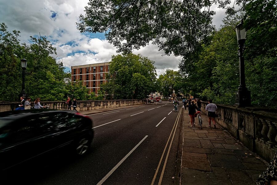

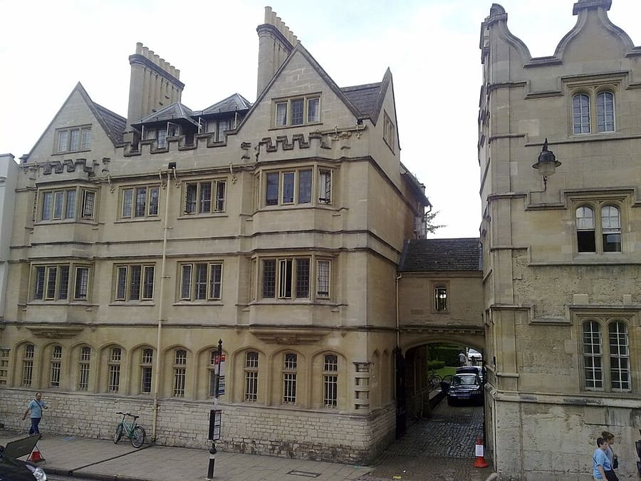

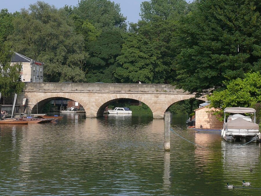

Stations, bridges and harbours from our guide where we hold a photo; each links to the area page that lists it.
Paying for local transport in Oxford
Oxford Bus Company and Park & Ride
- The Oxford Bus Company lists contactless journeys, ticket and fare pages, an app, and airport coaches to Heathrow and Gatwick. Its home page announced a combined Park & Ride parking and bus ticket from 17 August 2026.Source: Oxford Bus Company (opens in new tab).
Without a car
Getting here
By train
Oxford station is on Park End Street and is managed by Great Western Railway, according to National Rail. Experience Oxfordshire says trains from London Paddington take as little as an hour. Oxford Parkway, north of the city, has trains to London Marylebone, according to Oxford City Council. 1
Experience Oxfordshire: getting here by rail (opens in new tab) · National Rail: Oxford (opens in new tab) · Great Western Railway (opens in new tab) · Chiltern Railways (opens in new tab)
By coach
The Oxford Tube runs coaches between Oxford and London and says they run 24 hours a day, up to every 10 minutes. National Express runs routes from Oxford bus station at Gloucester Green, according to Oxford City Council. 2
Oxford Tube (opens in new tab) · National Express (opens in new tab) · Oxford City Council: public transport (opens in new tab)
By air
Oxford has no commercial airport. Oxford Bus Company runs The Airline services to Heathrow and Gatwick, and National Express lists transfers to Heathrow, Gatwick, Stansted and Luton, according to the City Council. 3
Oxford Bus Company (opens in new tab) · Oxford City Council: public transport (opens in new tab)
Once you are there
Walk the centre
Radcliffe Square, Broad Street, the High Street and Christ Church are close together, and most of the main sights can be reached on foot.
Stops near each area
From our area guides (Oxford): the stations and stops listed for each base. See each area's Getting there page for more.
Radcliffe Square, Broad Street and St Giles
- Oxford station: Great Western Railway and other operators. The main railway station is on Park End Street, west of the centre
- Gloucester Green: National Express coaches and local buses. Oxford bus station on the western edge of this area; the Oxford Tube to London and Oxford Bus Company airport services also serve the city
- Park & Ride: Pear Tree, Oxford Parkway, Thornhill, Redbridge and Seacourt. Five sites around the ring road; buses run into the city centre
High Street, Magdalen and East Oxford
- Oxford station: Great Western Railway and other operators. The station is on Park End Street, west of the centre; local buses run to the High Street
- High Street bus stops: Local and Park & Ride buses. Buses stop along the High Street; check the operator for routes
- Thornhill Park & Ride: Park & Ride buses from the east. The Thornhill site is on the east side of Oxford; see the City Council page
Christ Church, St Aldate's and Folly Bridge
- Oxford station: Great Western Railway and other operators. The station is on Park End Street, west of Westgate
- St Aldate's bus stops: Local and Park & Ride buses. Buses stop along St Aldate's; check the operator for routes
- Redbridge Park & Ride: Park & Ride buses from the south. The Redbridge site is south of Oxford, off the A34; see the City Council page
Jericho, the Castle and Port Meadow
- Oxford station: Great Western Railway and other operators. Station on Park End Street, at the southern edge of this area
- Seacourt Park & Ride: Park & Ride buses from the west. The Seacourt site is west of Oxford, off the Botley Road; see the City Council page
- Pear Tree and Oxford Parkway Park & Ride: Park & Ride buses from the north. Two sites north of Oxford; Oxford Parkway also has trains to London Marylebone
No timetables or fares are copied here: check the operator or Traveline for the day you travel. Taxis and ride-hailing apps operate in most towns, but we have no sourced coverage data for rural areas, so do not count on one at short notice.
With a car
By car and Park & Ride
Oxford City Council lists five Park & Ride sites around the ring road: Pear Tree and Oxford Parkway to the north, Thornhill to the east, Redbridge to the south and Seacourt to the west. The city centre has a Zero Emission Zone with a daily charge for many vehicles. 4
Park & Ride
Oxford City Council lists five Park & Ride sites around the ring road. It stated a £3 combined Park + Bus ticket covering return bus travel for up to five people and up to 16 hours' parking on 25 October 2026, bought at the site or on the RingGo app. 5
Zero Emission Zone and traffic filters
The Zero Emission Zone is a pilot in the city centre: charges apply 7 am to 7 pm every day, and the daily amount depends on the vehicle (see the table). Oxfordshire County Council also runs six traffic filters on trial. Its main page does not give hours, exemptions or fines, so read the linked pages before you drive in. 6,7
Park & Ride
Buses run from the Park & Ride sites into the city centre. Oxford City Council lists the five sites and the Oxford Bus Company lists its Park & Ride services. 4
Zero Emission Zone
Drivers in the central Zero Emission Zone pay a daily charge unless they have a discount or exemption, according to Oxfordshire County Council. Check the map and rules before you drive in. 8
Traffic filters
Oxfordshire County Council runs traffic filters in parts of the city. Check its page for locations and rules before you drive. 9
Zones to check
| Zone | When | Cars | Amount | Official page |
|---|---|---|---|---|
| Oxford Zero Emission Zone (pilot) 10,6 | 7 am to 7 pm, every day of the year. Vehicles parked in the zone that do not move are not charged. | A daily charge by band. It is a pilot and bans no vehicles. | £0 zero emission; £2 ultra-low (under 75 g/km CO2); £4 petrol Euro 4 or diesel Euro 6; £10 all others, as the county council states | Official page for Oxford Zero Emission Zone (pilot) (opens in new tab) |
| Oxford traffic filters (trial) 7 | Hours are on the council's map page, not on the page we read. | Six traffic filters are on trial. Exemptions, permits and fines are on linked pages we did not read. | Not stated on the page we read | Official page for Oxford traffic filters (trial) (opens in new tab) |
Amounts as the official page stated on 25 Oct 2026. For vehicles registered outside the UK see the full table on the driving guide.
General rules (driving on the left, licences, roundabouts, speed limits in mph, parking, tolls, EV charging): Driving in Britain. Charge points: Zapmap (opens in new tab).
To and from other regions
Straight-line distance from our region centres, and the fastest train time that National Rail publishes on its destination pages (not a timetable; it may include a change). Where we found no figure we say so. The full table is on getting between regions.
| To or from | Straight line | Fastest train (National Rail) | Notes |
|---|---|---|---|
| Bath | 87 km (54 miles) | 1 h 9 min 12 | — |
| Bristol | 98 km (61 miles) | No official figure found. Check National Rail (opens in new tab) | — |
| Cambridge | 107 km (67 miles) | 2 h 27 min 13 | There is no direct train; this National Rail figure includes a change. |
| Cardiff | 136 km (85 miles) | No official figure found. Check National Rail (opens in new tab) | — |
| Cornwall | 314 km (195 miles) | No official figure found. Check National Rail (opens in new tab) | — |
| Edinburgh | 484 km (301 miles) | 5 h 47 min 14 | — |
| Glasgow | 498 km (309 miles) | No official figure found. Check National Rail (opens in new tab) | — |
| Liverpool | 218 km (136 miles) | No official figure found. Check National Rail (opens in new tab) | — |
| London | 83 km (51 miles) | 45 min 14 | Oxford Tube coaches run up to every 10 minutes, all day and night.2 |
| Manchester | 203 km (126 miles) | 2 h 48 min 14 | — |
| Northern Ireland | 488 km (303 miles) | No official figure found. Check National Rail (opens in new tab) | — |
| Portsmouth and Southampton | 100 km (62 miles) | No official figure found. Check National Rail (opens in new tab) | — |
| Stratford & Warwickshire | 61 km (38 miles) | No official figure found. Check National Rail (opens in new tab) | — |
| The Cotswolds | 39 km (25 miles) | No official figure found. Check National Rail (opens in new tab) | Oxford is on the Cotswold Line to Moreton-in-Marsh; no official time is published. |
| The Jurassic Coast | 151 km (94 miles) | No official figure found. Check National Rail (opens in new tab) | — |
| The Lake District | 325 km (202 miles) | No official figure found. Check National Rail (opens in new tab) | — |
| The Peak District | 170 km (106 miles) | No official figure found. Check National Rail (opens in new tab) | — |
| The Scottish Highlands | 650 km (404 miles) | No official figure found. Check National Rail (opens in new tab) | — |
| Wales | 184 km (115 miles) | No official figure found. Check National Rail (opens in new tab) | — |
| York | 246 km (153 miles) | No official figure found. Check National Rail (opens in new tab) | — |
Figures retrieved 25 Oct 2026 for the intercity data. Timetables change.
Stations in our data
3 stations and stops (Oxford)
OpenStreetMap contributors (ODbL), via Overpass API. Fetched 2026-11-01. This is the list behind the near-me page, not a complete list of stations.
- Gloucester Green Bus Station (bus)
- Oxford (rail), Great Western Railway
- Oxford Parkway (rail), Chiltern Railways
Official links
- Experience Oxfordshire: getting here by rail (opens in new tab): the official destination organisation
- National Rail: Oxford (opens in new tab): station facilities and step-free access
- Great Western Railway (opens in new tab): trains from London Paddington
- Chiltern Railways (opens in new tab): trains from London Marylebone
- Oxford Tube (opens in new tab): coaches between Oxford and London
- Oxford Bus Company (opens in new tab): city buses and airport services
- Oxford City Council: Park & Ride (opens in new tab): the five Park & Ride sites
- Oxford City Council: public transport (opens in new tab): trains, coaches and airport services
- Oxfordshire County Council: Zero Emission Zone (opens in new tab): charges, discounts and exemptions
- Oxfordshire County Council: traffic filters (opens in new tab): locations and rules
More on Oxford: Oxford guide · how to get there
Questions people ask
Can I get around Oxford without a car?
Oxford's centre is compact and the city has a railway station and coach links. In the centre there is a Zero Emission Zone pilot and a trial of traffic filters, and Park & Ride is the arrangement for drivers.
Do I need to check a driving zone in Oxford?
Yes: Oxford Zero Emission Zone (pilot) and Oxford traffic filters (trial) apply. The table on this page links the official pages.