 English (UK)
 English (US)
 Français
 Deutsch
 Español
 Italiano
 Nederlands
 简体中文
Good without a car Our reading of the sources below, not an official rating.
We did not fetch Liverpool council parking or driving pages, so this guide gives no city driving advice beyond the links below.
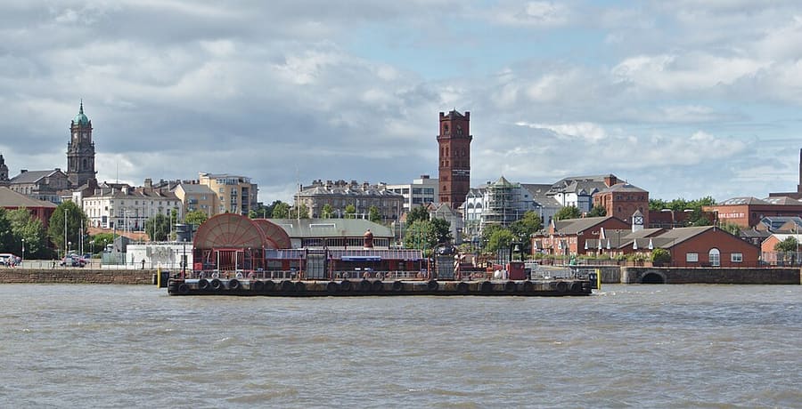

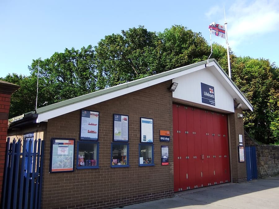

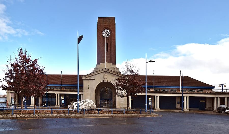

Stations, bridges and harbours from our guide where we hold a photo; each links to the area page that lists it.
Paying for local transport in Liverpool
Merseytravel (Walrus card, now MetroCard)
- Merseytravel's website and the MetroSmart site both refused automated access, so we have not read them. A Merseytravel news item shown in search results describes a MetroCard replacing the Walrus card; treat that as unconfirmed and check which card and tickets are current before you buy.Source: Merseytravel (site not readable to us), Merseytravel (site not readable to us).
Without a car
Getting here
By air
Liverpool John Lennon Airport is about 12 km south-east of the city centre, according to Wikipedia. Liverpool South Parkway station, which has Merseyrail Northern line trains and City line services, is linked to the airport by bus routes. Check the airport's website for current options. 1
By train
Liverpool Lime Street is the main-line station. Avanti West Coast's route page says London to Liverpool takes just over two hours. Wikipedia lists six train operators at the station, and Merseyrail trains run underneath on the Wirral line. 2
National Rail (opens in new tab) · Avanti West Coast (opens in new tab) · TransPennine Express (opens in new tab)
By Merseyrail
Merseyrail has two lines, the Northern line (including Southport, Ormskirk and Hunts Cross) and the Wirral line (including West Kirby, New Brighton, Chester and Ellesmere Port). The city-centre stations are Moorfields, Liverpool Central, Lime Street (Wirral line) and James Street. You can tap in and out with a bank card, smart device or MetroCard. 3
Merseyrail (opens in new tab) · Merseyrail Tap & Go (opens in new tab)
By ferry
Mersey Ferries link the Pier Head with Seacombe and Woodside on the Wirral, according to Wikipedia. The operator's website has the current timetable and any river cruise services. 4
By bus and coach
Merseytravel plans public transport in the city region. National Express and other coach operators serve Liverpool; check your operator for the pick-up point. 5
Merseytravel (opens in new tab) · National Express (opens in new tab)
Once you are there
Merseyrail tap and go
Merseyrail says you tap a contactless card or device on the platform validator to start and finish, using the same card or device each time. It stated an off-peak daily maximum of £6.40 on 25 October 2026. It lists Visa, Mastercard and Amex and says nothing about foreign-issued cards, so ask Merseyrail before you rely on one. It does not cover the City line and cannot be used with railcards. 6
Walk the centre
The Albert Dock, Pier Head, Mathew Street, Bold Street and Chinatown are all in the city centre. Hope Street and the cathedrals lie on its south-eastern side, and the Baltic Triangle to the south.
Tap and go on Merseyrail
Tap in and out with a bank card, smart device or MetroCard. Merseyrail says Chester station is excluded unless you use a MetroCard. 7
Football grounds and Sefton Park
Anfield and Goodison Park are in north Liverpool, and Sefton Park is to the south. Merseyrail says Lark Lane is an 11 minute walk from St Michaels station; for the stadiums use a bus or taxi and check match-day arrangements.
Access information
Merseyrail publishes station accessibility and assisted travel pages. Individual museums and venues list their own access details. 8
Stops near each area
From our area guides (Liverpool): the stations and stops listed for each base. See each area's Getting there page for more.
Albert Dock & the Waterfront
- James Street: Merseyrail Wirral line. Wirral line station near the Pier Head
- Liverpool Central: Merseyrail Northern and Wirral lines. City-centre station; walk through Liverpool ONE to reach the Albert Dock
- Pier Head ferry terminal: Mersey Ferries. Ferries link the Pier Head with Seacombe and Woodside. Check the operator for times
Cavern Quarter, Ropewalks & Chinatown
- Liverpool Central: Merseyrail Northern and Wirral lines. Underground station at the foot of Bold Street and the Ropewalks
- Moorfields: Merseyrail Northern and Wirral lines. Underground station a short walk from Mathew Street
- Liverpool Lime Street: National Rail; Merseyrail Wirral line. Main-line station opposite St George's Hall, with Merseyrail trains on the lower level
Baltic Triangle & Georgian Quarter
- Liverpool Central: Merseyrail Northern and Wirral lines. Nearest city-centre station; walk south through Chinatown for the Baltic Triangle
- Liverpool Lime Street: National Rail; Merseyrail Wirral line. Walk south-west for the Georgian Quarter
- Brunswick: Merseyrail Northern line. Station south of the Baltic Triangle on the Hunts Cross route
The Cathedrals & Hope Street
- Liverpool Lime Street: National Rail; Merseyrail Wirral line. Walk up Mount Pleasant for the Metropolitan Cathedral
- Liverpool Central: Merseyrail Northern and Wirral lines. Walk up Hardman Street or Bold Street for Hope Street
- Moorfields: Merseyrail Northern and Wirral lines. Underground station on the north side of the centre
Anfield & the Football Story
- Liverpool Central: Merseyrail Northern and Wirral lines. City-centre station; continue to Anfield by bus or taxi
- Liverpool Lime Street: National Rail; Merseyrail Wirral line. Main-line station; continue to Anfield by bus or taxi
- Anfield stadium parking: Stanley Park car park. The club's booking site names Stanley Park Car Park, on the corner of Utting Avenue and Priory Road, for tour visitors
Lark Lane & Sefton Park
- St Michaels: Merseyrail Northern line. Station on the Hunts Cross route; Merseyrail says Lark Lane is an 11 minute walk from here
- Aigburth: Merseyrail Northern line. Next station on the Hunts Cross route, further south
- Liverpool Central: Merseyrail Northern and Wirral lines. City-centre interchange for the Northern line southbound
Birkenhead & Hamilton Square
- Hamilton Square: Merseyrail Wirral line. Station beside Hamilton Square; Wirral line trains reach Birkenhead through a tunnel under the Mersey
- Woodside ferry terminal: Mersey Ferries. Birkenhead stop on the Mersey Ferry route to Pier Head and Seacombe
- Conway Park: Merseyrail Wirral line. Station in the centre of Birkenhead
- Birkenhead Central: Merseyrail Wirral line. Station on the south side of the town centre, on the Chester and Ellesmere Port branches
- Birkenhead Park: Merseyrail Wirral line. Station serving the town, for Birkenhead Park
New Brighton & Wallasey
- New Brighton: Merseyrail Wirral line. End of the New Brighton branch, about 8 miles west of Liverpool Lime Street, according to Wikipedia
- Wallasey Village: Merseyrail Wirral line. Station for Wallasey Village, on the Wirral line
- Wallasey Grove Road: Merseyrail Wirral line. Station in Wallasey, on the Wirral line
- Seacombe ferry terminal: Mersey Ferries. Stop on the Seacombe, Woodside and Pier Head route, according to Wikipedia
Lime Street & the Knowledge Quarter
- Liverpool Lime Street: Main-line trains; Merseyrail Wirral line (Low Level). The city's principal station, with an underground Merseyrail station connected by a subway, according to Wikipedia
- Edge Hill: Northern trains. First station after Lime Street, for the Williamson Tunnels area
- Queen Square bus station: Local buses. Bus station off Roe Street, mainly for services to the north and east, according to Wikivoyage
No timetables or fares are copied here: check the operator or Traveline for the day you travel. Taxis and ride-hailing apps operate in most towns, but we have no sourced coverage data for rural areas, so do not count on one at short notice.
With a car
We hold no sourced driving notes for Liverpool beyond the general rules.
General rules (driving on the left, licences, roundabouts, speed limits in mph, parking, tolls, EV charging): Driving in Britain. Charge points: Zapmap (opens in new tab).
To and from other regions
Straight-line distance from our region centres, and the fastest train time that National Rail publishes on its destination pages (not a timetable; it may include a change). Where we found no figure we say so. The full table is on getting between regions.
| To or from | Straight line | Fastest train (National Rail) | Notes |
|---|---|---|---|
| Bath | 229 km (143 miles) | No official figure found. Check National Rail (opens in new tab) | — |
| Bristol | 219 km (136 miles) | 3 h 8 min 9 | — |
| Cambridge | 248 km (154 miles) | No official figure found. Check National Rail (opens in new tab) | — |
| Cardiff | 214 km (133 miles) | No official figure found. Check National Rail (opens in new tab) | — |
| Cornwall | 378 km (235 miles) | No official figure found. Check National Rail (opens in new tab) | — |
| Edinburgh | 283 km (176 miles) | 3 h 29 min 9 | The Edinburgh page lists 3 hr 28 min. |
| Glasgow | 285 km (177 miles) | 2 h 23 min 9 | — |
| London | 287 km (178 miles) | 2 h 20 min 9 | — |
| Manchester | 50 km (31 miles) | 38 min 9 | — |
| Northern Ireland | 282 km (175 miles) | No official figure found. Check National Rail (opens in new tab) | — |
| Oxford | 218 km (136 miles) | No official figure found. Check National Rail (opens in new tab) | — |
| Portsmouth and Southampton | 308 km (192 miles) | No official figure found. Check National Rail (opens in new tab) | — |
| Stratford & Warwickshire | 157 km (98 miles) | No official figure found. Check National Rail (opens in new tab) | — |
| The Cotswolds | 186 km (116 miles) | No official figure found. Check National Rail (opens in new tab) | — |
| The Jurassic Coast | 307 km (191 miles) | No official figure found. Check National Rail (opens in new tab) | — |
| The Lake District | 117 km (73 miles) | No official figure found. Check National Rail (opens in new tab) | — |
| The Peak District | 82 km (51 miles) | No official figure found. Check National Rail (opens in new tab) | — |
| The Scottish Highlands | 439 km (273 miles) | No official figure found. Check National Rail (opens in new tab) | — |
| Wales | 135 km (84 miles) | No official figure found. Check National Rail (opens in new tab) | — |
| York | 140 km (87 miles) | No official figure found. Check National Rail (opens in new tab) | — |
Figures retrieved 25 Oct 2026 for the intercity data. Timetables change.
Stations in our data
36 stations and stops (Liverpool)
OpenStreetMap contributors (ODbL), via Overpass API. Fetched 2026-10-25. This is the list behind the near-me page, not a complete list of stations.
- Aigburth (rail), Merseyrail
- Bank Hall (rail), Merseyrail
- Bebington (rail), Merseyrail
- Bidston (rail), Merseyrail
- Birkenhead Central (rail), Merseyrail
- Birkenhead North (rail), Merseyrail
- Birkenhead Park (rail), Merseyrail
- Bootle New Strand (rail), Merseyrail
- Bootle Oriel Road (rail), Merseyrail
- Broad Green (rail), Northern Trains
- Brunswick (rail), Merseyrail
- Conway Park (rail), Merseyrail
- Cressington (rail), Merseyrail
- Edge Hill (rail), Northern Trains
- Green Lane (rail), Merseyrail
- Hamilton Square (rail), Merseyrail
- Kirkdale (rail), Merseyrail
- Lime Street Low Level (metro)
- Liverpool Central (rail), Merseyrail
- Liverpool James Street (rail), Merseyrail
- Liverpool Lime Street (rail), Network Rail
- Liverpool South Parkway (rail), Merseyrail
- Moorfields (rail), Merseytravel
- Mossley Hill (rail), Northern Trains
- New Brighton (rail), Merseyrail
- Rice Lane (rail), Merseyrail
- Rock Ferry (rail), Merseyrail
- Sandhills (rail), Merseyrail
- Shore Road (tram)
- St Michaels (rail), Merseyrail
- Wallasey Grove Road (rail), Merseyrail
- Wallasey Village (rail), Merseyrail
- Walton (rail), Merseyrail
- Wavertree Technology Park (rail), Northern Trains
- West Allerton (rail), Northern Trains
- Woodside Ferry (tram)
Official links
- Visit Liverpool (opens in new tab): the city's official visitor site
- Merseyrail (opens in new tab): journey planner, service updates, stations
- Merseyrail Tap & Go (opens in new tab): paying with a bank card or device
- Merseyrail station accessibility (opens in new tab): step-free access and help at stations
- Mersey Ferries (opens in new tab): river crossings and cruises
- Merseytravel (opens in new tab): buses, ferries and trains in the city region
- Liverpool John Lennon Airport (opens in new tab): flights and ground transport
- National Rail Enquiries (opens in new tab): train times and fares
- Avanti West Coast (opens in new tab): London Euston and the West Coast
- TransPennine Express (opens in new tab): trains to Manchester and the north
- Liverpool City Council (opens in new tab): local information
More on Liverpool: Liverpool guide · how to get there
Questions people ask
Can I get around Liverpool without a car?
Liverpool is straightforward without a car: Merseyrail, buses, the ferry and a walkable centre cover the main sights.
Do I need to check a driving zone in Liverpool?
We found no charging or low emission zone for Liverpool in the official pages we read. Check the council site before you drive in.