 English (UK)
 English (US)
 Français
 Deutsch
 Español
 Italiano
 Nederlands
 简体中文
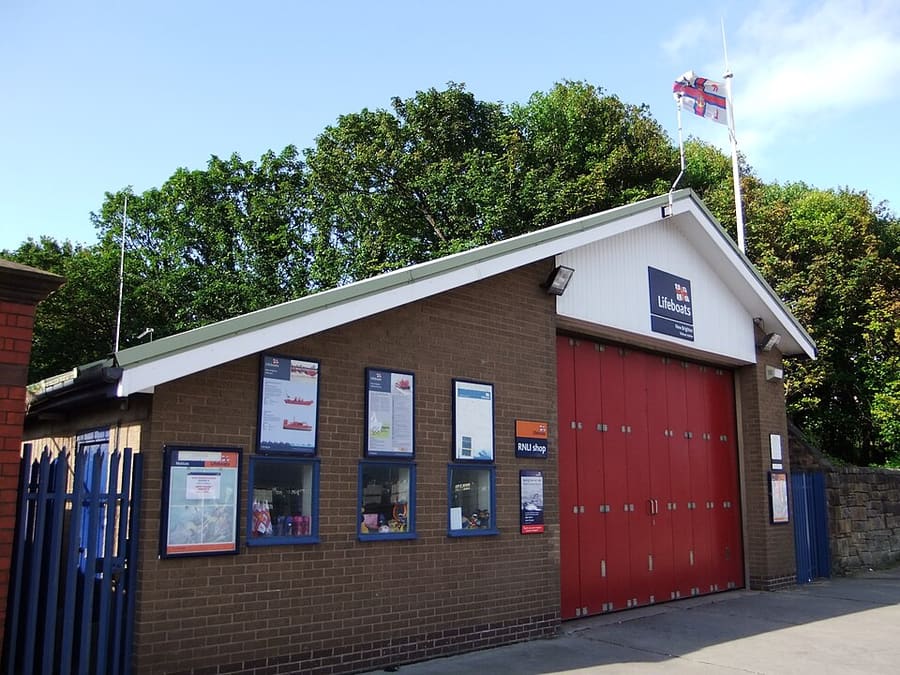
A mini guide to
New Brighton & Wallasey: getting there
Stops, stations and how to reach New Brighton & Wallasey
Stops and stations
Getting to New Brighton & Wallasey
Choose the stop closest to where you are going.
| Stop or station | Services | Good for |
|---|---|---|
| New Brighton | Merseyrail Wirral line | End of the New Brighton branch, about 8 miles west of Liverpool Lime Street, according to Wikipedia |
| Wallasey Village | Merseyrail Wirral line | Station for Wallasey Village, on the Wirral line |
| Wallasey Grove Road | Merseyrail Wirral line | Station in Wallasey, on the Wirral line |
| Seacombe ferry terminal | Mersey Ferries | Stop on the Seacombe, Woodside and Pier Head route, according to Wikipedia |
Walking from nearby areas
- Birkenhead & Hamilton Square: 4.5 km from New Brighton & Wallasey, better by public transport
- Albert Dock & the Waterfront: 4.6 km from New Brighton & Wallasey, better by public transport
- Cavern Quarter, Ropewalks & Chinatown: 4.9 km from New Brighton & Wallasey, better by public transport
- Lime Street & the Knowledge Quarter: 5.6 km from New Brighton & Wallasey, better by public transport
Reaching Liverpool
Official travel information
Liverpool has an airport south-east of the centre, a main-line station at Lime Street and Merseyrail stations across the centre. Always check the operator for current times, fares and disruption.
- Visit Liverpool → — the city's official visitor site
- Merseyrail → — journey planner, service updates, stations
- Merseyrail Tap & Go → — paying with a bank card or device
- Merseyrail station accessibility → — step-free access and help at stations
- Mersey Ferries → — river crossings and cruises
- Merseytravel → — buses, ferries and trains in the city region
- Liverpool John Lennon Airport → — flights and ground transport
- National Rail Enquiries → — train times and fares
- Avanti West Coast → — London Euston and the West Coast
- TransPennine Express → — trains to Manchester and the north
- Liverpool City Council → — local information
Times, fares and disruption change: use the operator pages above for live information.
Plan your journey here
Enter your starting point and Google Maps will show routes to New Brighton & Wallasey. Public transport is selected; change it on the map. Check operator sites for live disruption.
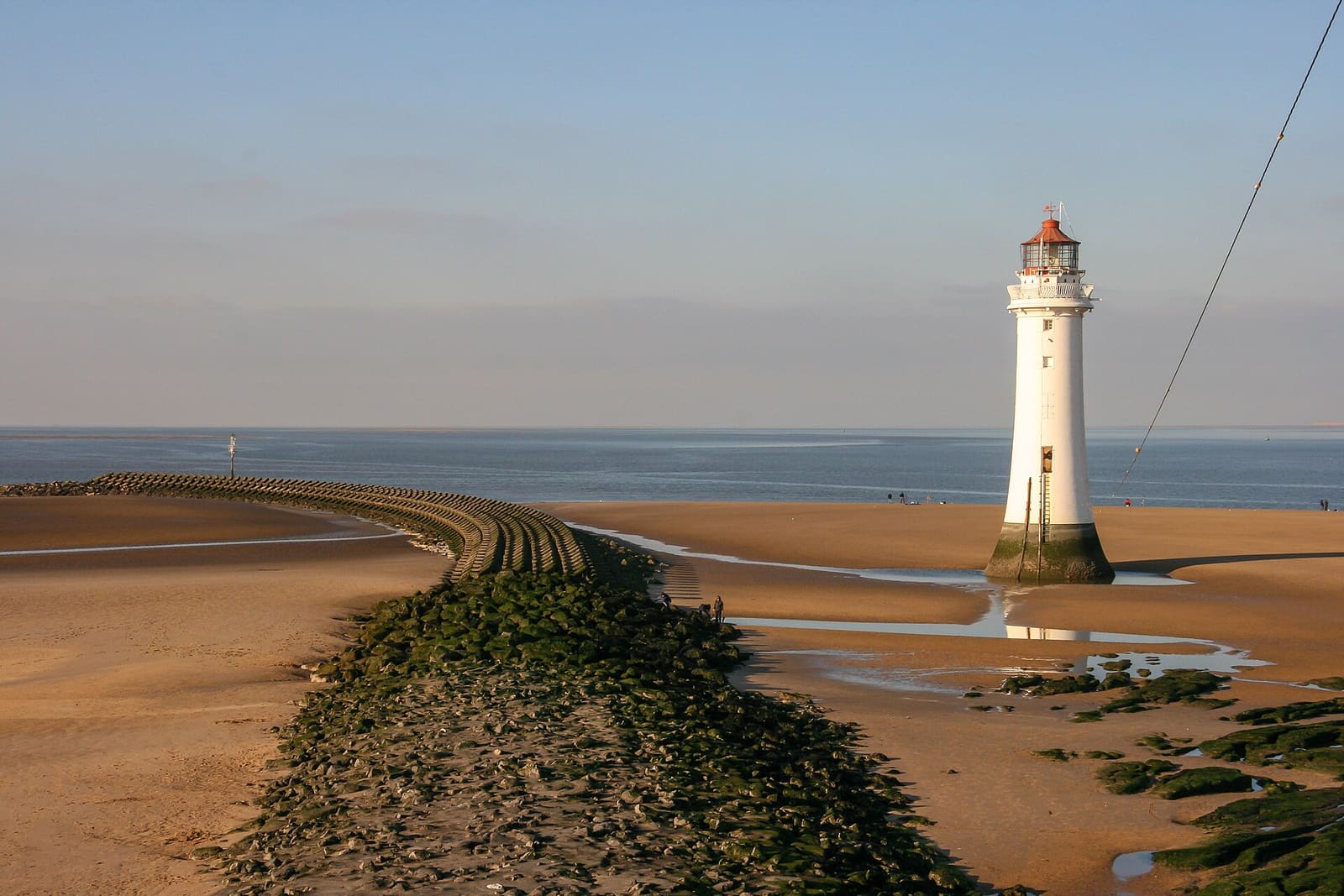
While you are here
Things to see in New Brighton & Wallasey
A few of the sights in the area. The Things to do page lists them all, with directions and official links.
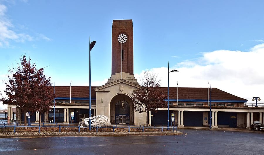
Seacombe Ferry Terminal
Wallasey terminal of the Mersey Ferry, on the triangular route to Woodside and Pier Head.
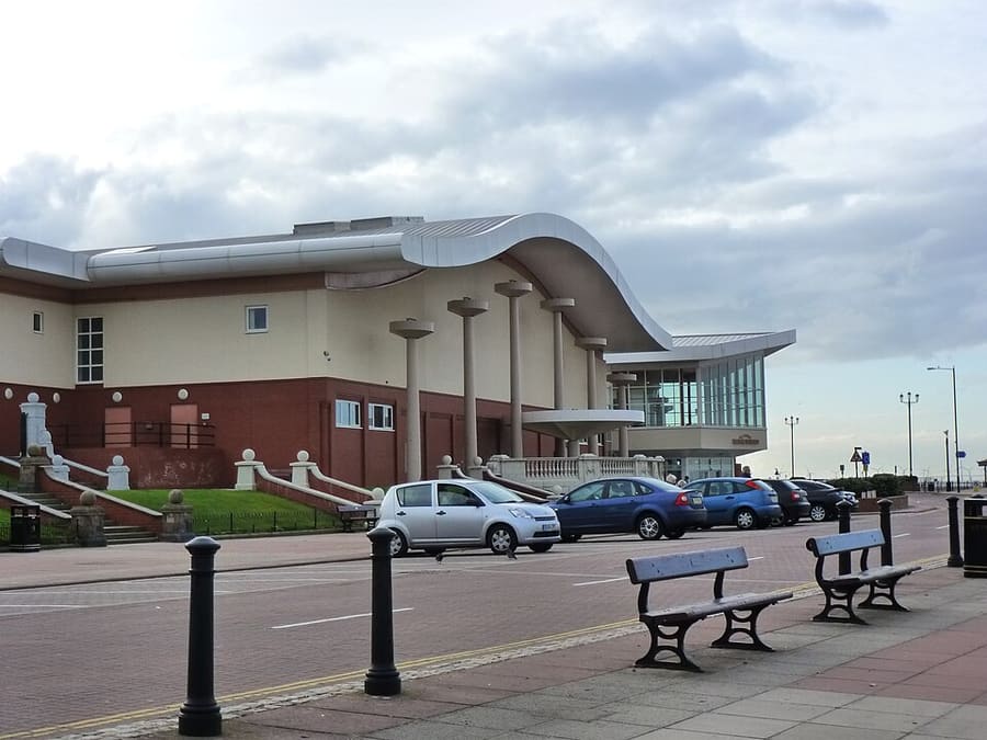
Floral Pavilion Theatre
Seafront theatre staging comedy, music, children's shows and a Christmas pantomime; the original opened in 1913.
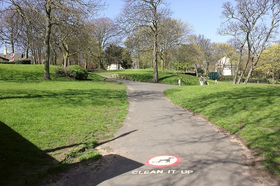
Vale Park
Victorian park opened in 1899 with formal gardens, a rose garden and a bandstand.
Liverpool
More areas to explore
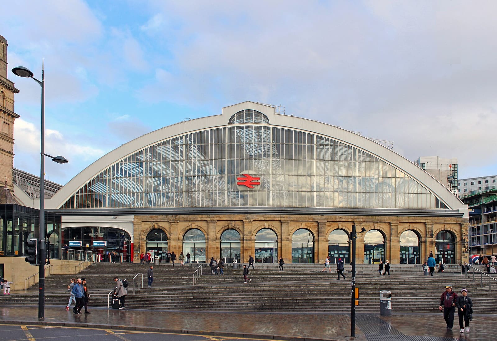
Lime Street & the Knowledge Quarter
Where the trains arrive, with the university quarter and Edge Hill beyond
Open the mini guide →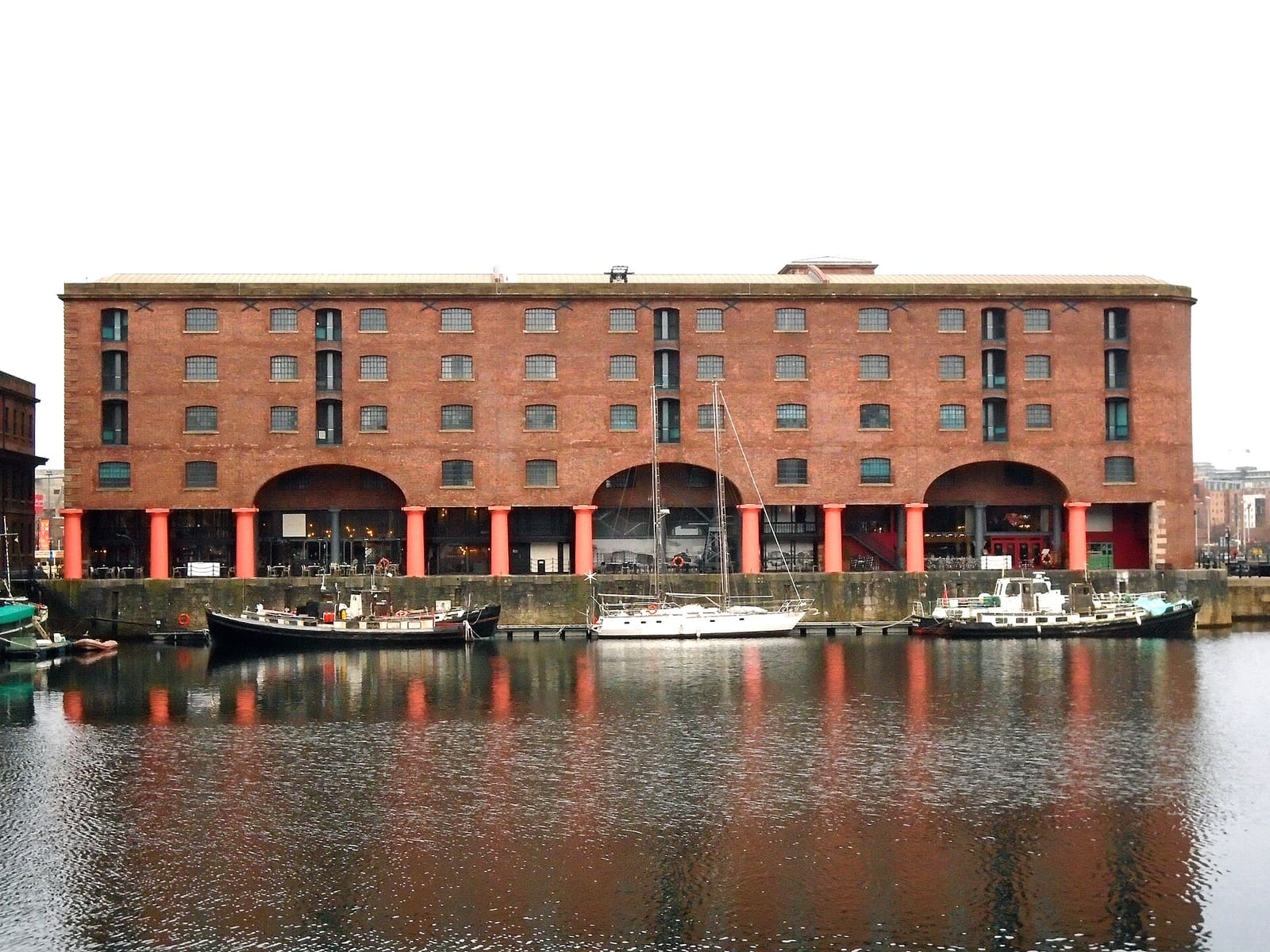
Albert Dock & the Waterfront
Warehouse docks, museums and the Three Graces on the Mersey
Open the mini guide →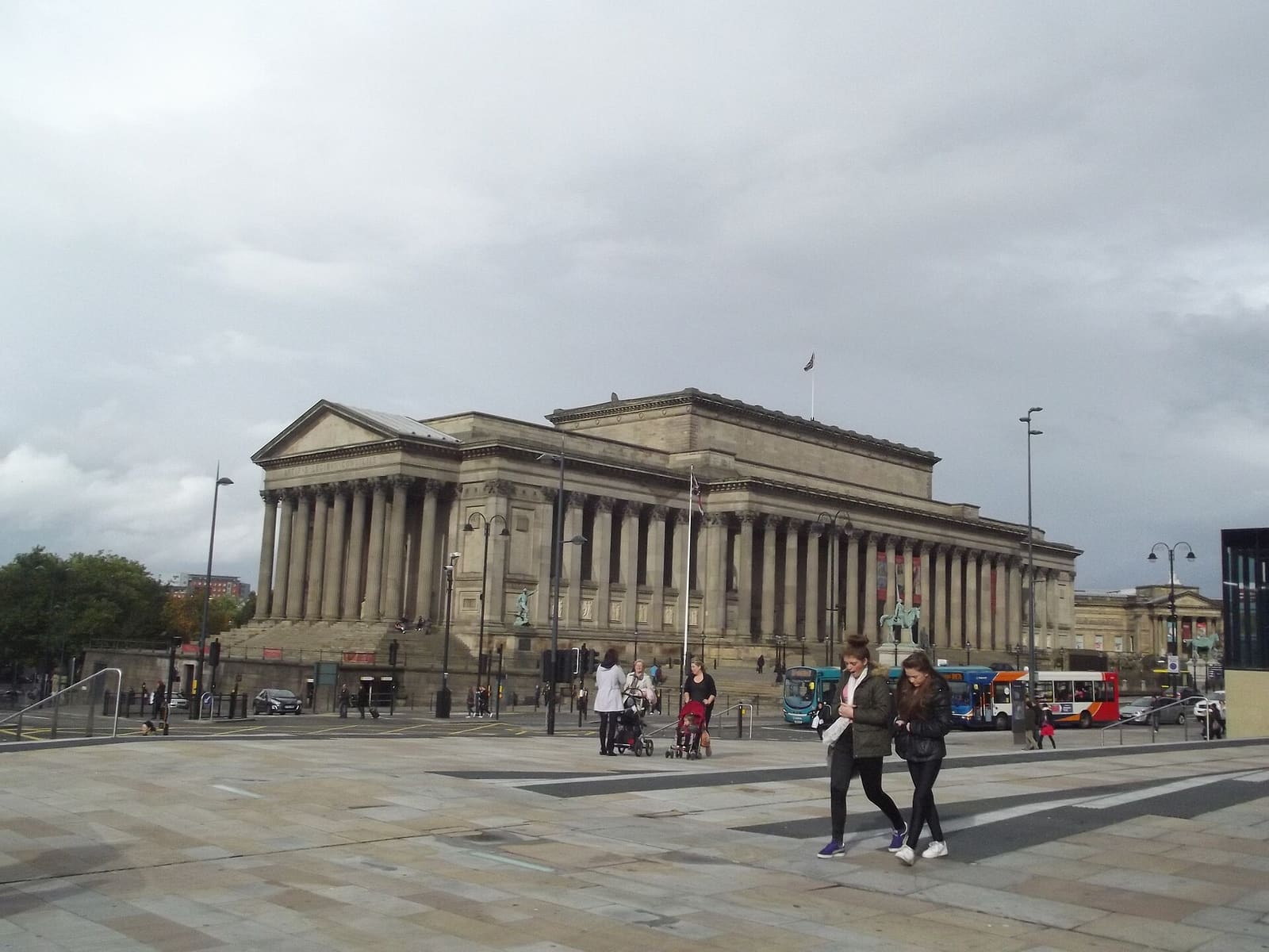
Cavern Quarter, Ropewalks & Chinatown
Beatles history, independent streets, Chinatown and the William Brown Street museums
Open the mini guide →Photo credits
- New Brighton Lifeboat Station: Rept0n1x, CC BY-SA 3.0, source
- New Brighton & Wallasey (area photo): Photograph by Mike Peel (www.mikepeel.net)., CC BY-SA 4.0, source
- Seacombe Ferry Terminal: Rodhullandemu, CC BY-SA 4.0, source
- Floral Pavilion Theatre: Ruth Sharville, CC BY-SA 2.0, source
- Vale Park: Jeff Buck, CC BY-SA 2.0, source
- Lime Street & the Knowledge Quarter: Rodhullandemu, CC BY-SA 4.0, source
- Albert Dock & the Waterfront: Rodhullandemu, CC BY-SA 4.0, source
- Cavern Quarter, Ropewalks & Chinatown: Elliott Brown from Birmingham, United Kingdom, CC BY-SA 2.0, source
- Baltic Triangle & Georgian Quarter: Fatih Renkligil, CC BY-SA 4.0, source
- The Cathedrals & Hope Street: calflier001, CC BY-SA 2.0, source
- Anfield & the Football Story: Mike Pennington, CC BY-SA 2.0, source
- Lark Lane & Sefton Park: Ben James, CC BY-SA 2.0, source
- Birkenhead & Hamilton Square: Rodhullandemu, CC BY-SA 4.0, source
Photos from Wikimedia Commons, used under the licences shown. All photo credits
Keep exploring Liverpool