 English (UK)
 English (US)
 Français
 Deutsch
 Español
 Italiano
 Nederlands
 简体中文
Good without a car Our reading of the sources below, not an official rating.
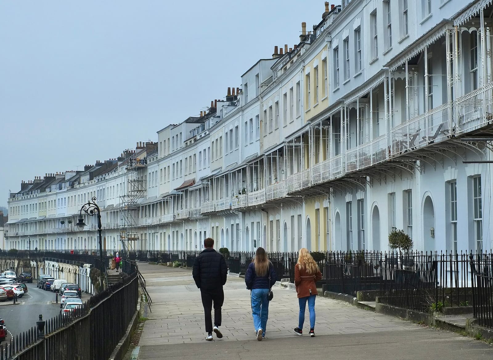

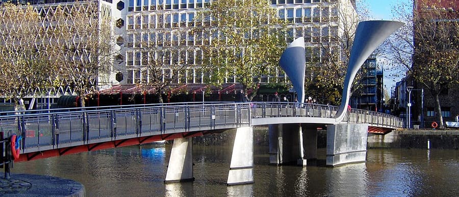

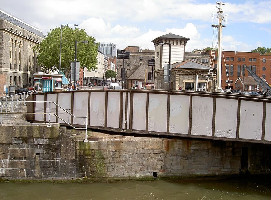

Stations, bridges and harbours from our guide where we hold a photo; each links to the area page that lists it.
Paying for local transport in Bristol
First Bus (Bristol, Bath and the West)
- First Bus lists contactless payment, the First Bus app and "tap on tap off" among its ways to pay, and publishes daily service updates for the Bristol, Bath and West area. On 25 October 2026 the update page reported city-centre roadworks causing delays on several Bristol routes.Source: First Bus (opens in new tab), First Bus (opens in new tab).
Without a car
Getting here
By train
Bristol Temple Meads is the main station, a few minutes' walk from the centre. Visit Bristol describes it as the largest rail hub in the west of England, with direct services from London, Scotland, Wales, Manchester and Birmingham. Great Western Railway's route page quotes around 1 hour 40 minutes from London Paddington, with the fastest service taking 1 hour 19 minutes, and usually a departure every 30 minutes. Bristol Parkway is on the northern edge of the city. 1
GWR: London to Bristol (opens in new tab) · National Rail (opens in new tab) · Visit Bristol: travelling to Bristol (opens in new tab)
By air
Bristol Airport is about 8 miles south-west of the centre, in North Somerset. Visit Bristol lists the A1 Bristol Flyer bus to and from the city centre via Bedminster and the A4 Air Decker to and from Bath, and says National Express coaches link the airport with Bristol and other cities. 2
Bristol Airport (opens in new tab) · Visit Bristol: air travel (opens in new tab)
By coach
Bristol Bus & Coach Station is on Marlborough Street, near Broadmead. Visit Bristol lists National Express, FlixBus and megabus services, and says National Express coaches from London Heathrow take approximately 2 hours and from Gatwick approximately 3 hours 30 minutes. 3
National Express (opens in new tab) · FlixBus (opens in new tab)
Once you are there
Walking and cycling
Visit Bristol describes the centre as walkable, with many attractions a short walk apart, and lists traffic-free cycle paths and bike hire. It also lists car clubs for longer stays. 4
Walk the centre
Visit Bristol describes the city centre as compact, with many attractions within walking distance. The harbourside, Old City and Park Street can be linked on foot. Clifton and Brandon Hill are uphill from the water, so allow extra time.
Take a harbour ferry
Bristol Ferry Boats runs yellow-and-blue boats around the Floating Harbour, including a waterbus that works as public transport. Check the operator for routes, stops and tickets. 5
Use the buses
First Bus runs most city services and has an app and journey planner. Visit Bristol says Metrobus tickets must be bought before boarding or by tapping on and off. The bridge trust says the number 8 runs from Temple Meads to Clifton Village. 6
Cycle or scoot
Visit Bristol points to traffic-free cycle paths, bike hire and Dott e-scooters and e-bikes, which must be parked in marked zones. The Bristol and Bath Railway Path leaves the city for Bath. 7
Access information
Visit Bristol's accessible travel page covers Temple Meads, buses and parking, and points to the Hubs Mobility Advice Service for current local advice. 8
Stops near each area
From our area guides (Bristol): the stations and stops listed for each base. See each area's Getting there page for more.
Harbourside & Millennium Square
- Bristol Temple Meads: GWR, CrossCountry. Main railway station, a bus ride or a walk from the harbourside
- Bristol Bus & Coach Station: National Express, FlixBus, megabus. On Marlborough Street, near Broadmead
- Bristol Ferry Boats: Harbour trips and waterbus. Boats run on the Floating Harbour; check the operator for stops
Old City, King Street & Park Street
- Bristol Bus & Coach Station: National Express, FlixBus, megabus. On Marlborough Street, a walk from Broad Street
- Bristol Temple Meads: GWR, CrossCountry. Main railway station, a bus ride or a walk from the Old City
- Park Street buses: First Bus. Many city services run along Park Street and Queens Road; check the First Bus app
Clifton & the Suspension Bridge
- Clifton Village (bus 8): First Bus. The Clifton Suspension Bridge Trust gives the number 8 from Temple Meads to Clifton Village
- Bristol Temple Meads: GWR, CrossCountry. Main railway station, a bus ride from Clifton
- Walking from the centre: About 45 minutes. The bridge trust suggests a 45-minute walk from the city centre to the bridge
Stokes Croft, St Pauls & Montpelier
- Montpelier: GWR, Severn Beach Line. Single-platform station; Wikipedia says mainly a train every 30 minutes in each direction
- Bristol Bus & Coach Station: National Express, FlixBus, megabus. On Marlborough Street, a short walk from Stokes Croft
- Bristol Temple Meads: GWR, CrossCountry. Main railway station, a bus ride from Stokes Croft
Redcliffe, Temple Meads & Bedminster
- Bristol Temple Meads: GWR, CrossCountry. Main station; Visit Bristol says it has step-free access and lifts to all platforms
- Temple Quay ferry stop: Bristol Ferry Boats. Waterbus stop near Temple Meads; check the operator for the current service
- Bedminster buses: First Bus. Many city services run along East Street and North Street; check the First Bus app
Avon Gorge, Leigh Woods & Ashton Court
- Ashton Court: X3 and X4 buses. Bristol City Council says a 10-minute walk from the bus stop to the Mansion House car park
- Clifton (bus 8): First Bus. The council suggests the 8 to Clifton, then a walk across the suspension bridge to Ashton Court
- Suspension Bridge: On foot. Open 24 hours a day and free for pedestrians and cyclists, according to the bridge trust
Whiteladies Road & Redland
- Clifton Down: GWR, Severn Beach Line. Station on Whiteladies Road; Wikipedia says mainly a train every 30 minutes
- Redland: GWR, Severn Beach Line. Station for Cotham and Redland; Wikipedia says mainly a train every 30 minutes
- Redland and Whiteladies Road buses: First West of England. Wikipedia lists bus 72a through Redland; check First Bus for current routes
Gloucester Road & Bishopston
- Redland: GWR, Severn Beach Line. Station near the southern end of Gloucester Road; Wikipedia says mainly a train every 30 minutes
- Ashley Down: GWR. Station that opened on 28 September 2024, serving the Ashley Down area; check GWR for services
- Gloucester Road buses: First West of England. The A38 corridor has frequent city bus routes; check First Bus for current services
No timetables or fares are copied here: check the operator or Traveline for the day you travel. Taxis and ride-hailing apps operate in most towns, but we have no sourced coverage data for rural areas, so do not count on one at short notice.
With a car
By car
Bristol sits where the M4 and M5 motorways meet. Visit Bristol lists six Park & Ride sites (Portway, Long Ashton, Brislington, Lyde Green, Parkway North and Yate) and says the city has a Clean Air Zone (CAZ-D) where most vehicles are not charged. Check the council's Clean Air Zone page for your vehicle before you travel. 9
Clean Air Zone
Bristol Clean Air Zone charges a private car that does not meet the standard £9 a day (as the Clean Air for Bristol site stated on 25 October 2026). It runs 24 hours a day, every day. Petrol cars of Euro 4 or later (roughly 2006 onwards) and Euro 6 diesels (roughly end of 2015 onwards) are not charged. The site does not say how the zone treats vehicles registered outside the UK, and the gov.uk checker cannot check them, so ask the council. 10,11
Zones to check
| Zone | When | Cars | Amount | Official page |
|---|---|---|---|---|
| Bristol Clean Air Zone 10,11 | 24 hours a day, every day. One charge per 24 hours. | Private cars that do not meet the standard pay. Not charged: petrol Euro 4 to 6 (roughly 2006 on) and Euro 6 diesel (roughly end of 2015 on). | £9 a day for a private car, as the Clean Air for Bristol site states | Official page for Bristol Clean Air Zone (opens in new tab) |
Amounts as the official page stated on 25 Oct 2026. For vehicles registered outside the UK see the full table on the driving guide.
General rules (driving on the left, licences, roundabouts, speed limits in mph, parking, tolls, EV charging): Driving in Britain. Charge points: Zapmap (opens in new tab).
To and from other regions
Straight-line distance from our region centres, and the fastest train time that National Rail publishes on its destination pages (not a timetable; it may include a change). Where we found no figure we say so. The full table is on getting between regions.
| To or from | Straight line | Fastest train (National Rail) | Notes |
|---|---|---|---|
| Bath | 18 km (11 miles) | 12 min 12 | — |
| Cambridge | 205 km (127 miles) | No official figure found. Check National Rail (opens in new tab) | — |
| Cardiff | 40 km (25 miles) | 47 min 13 | — |
| Cornwall | 218 km (136 miles) | No official figure found. Check National Rail (opens in new tab) | — |
| Edinburgh | 502 km (312 miles) | No official figure found. Check National Rail (opens in new tab) | — |
| Glasgow | 502 km (312 miles) | 6 h 41 min 14 | — |
| Liverpool | 219 km (136 miles) | 3 h 8 min 15 | — |
| London | 171 km (106 miles) | 1 h 28 min 12 | — |
| Manchester | 227 km (141 miles) | 3 h 5 min 12 | — |
| Northern Ireland | 451 km (280 miles) | No official figure found. Check National Rail (opens in new tab) | — |
| Oxford | 98 km (61 miles) | No official figure found. Check National Rail (opens in new tab) | — |
| Portsmouth and Southampton | 116 km (72 miles) | No official figure found. Check National Rail (opens in new tab) | — |
| Stratford & Warwickshire | 110 km (68 miles) | No official figure found. Check National Rail (opens in new tab) | — |
| The Cotswolds | 75 km (47 miles) | No official figure found. Check National Rail (opens in new tab) | — |
| The Jurassic Coast | 88 km (55 miles) | No official figure found. Check National Rail (opens in new tab) | — |
| The Lake District | 336 km (209 miles) | No official figure found. Check National Rail (opens in new tab) | — |
| The Peak District | 207 km (129 miles) | No official figure found. Check National Rail (opens in new tab) | — |
| The Scottish Highlands | 656 km (408 miles) | No official figure found. Check National Rail (opens in new tab) | — |
| Wales | 125 km (78 miles) | 47 min 13 | Time is to Cardiff, the Welsh capital; Wales as a whole is much bigger and other parts take longer. |
| York | 297 km (184 miles) | No official figure found. Check National Rail (opens in new tab) | — |
Figures retrieved 25 Oct 2026 for the intercity data. Timetables change.
Stations in our data
16 stations and stops (Bristol)
OpenStreetMap contributors (ODbL), via Overpass API. Fetched 2026-11-01. This is the list behind the near-me page, not a complete list of stations.
- Ashley Down (rail), Great Western Railway
- Bedminster (rail), Great Western Railway
- Bristol Bus & Coach Station (bus)
- Bristol Temple Meads (rail), Network Rail
- Butterfly Junction (station)
- Clifton Down (rail), Great Western Railway
- Lawrence Hill (rail), Great Western Railway
- Montpelier (rail), Great Western Railway
- Parson Street (rail), Great Western Railway
- Portway Park and Ride (rail), Great Western Railway
- Princes Wharf (station)
- Redland (rail), Great Western Railway
- Sea Mills (rail), Great Western Railway
- Shirehampton (rail), Great Western Railway
- SS Great Britain (station)
- Stapleton Road (rail), Great Western Railway
Official links
- Visit Bristol (opens in new tab): the city's official visitor site
- Visit Bristol: travelling to Bristol (opens in new tab): train, coach, car, boat and air
- Visit Bristol: travelling around Bristol (opens in new tab): buses, ferries, cycling and walking
- Visit Bristol: accessible travel (opens in new tab): step-free access and assistance
- Great Western Railway (opens in new tab): trains from London, Bath, Cardiff and the south west
- National Rail Enquiries (opens in new tab): train times and fares
- Bristol Airport (opens in new tab): flights and onward transport
- Travelwest (opens in new tab): journey planning for buses, trains, ferries and cycling
- First Bus (opens in new tab): most city bus services
- National Express (opens in new tab): coaches
- Bristol Ferry Boats (opens in new tab): harbour trips and waterbus
- Bristol City Council (opens in new tab): parks, museums and the Clean Air Zone
More on Bristol: Bristol guide · how to get there
Questions people ask
Can I get around Bristol without a car?
Bristol's centre is compact and has rail, bus, ferry and Park & Ride links. Driving into the centre means checking the Clean Air Zone first.
Do I need to check a driving zone in Bristol?
Yes: Bristol Clean Air Zone applies. The table on this page links the official pages.