 English (UK)
 English (US)
 Français
 Deutsch
 Español
 Italiano
 Nederlands
 简体中文
A mini guide to
Harbourside & Millennium Square: getting there
Stops, stations and how to reach Harbourside & Millennium Square
Stops and stations
Getting to Harbourside & Millennium Square
Choose the stop closest to where you are going.
| Stop or station | Services | Good for |
|---|---|---|
| Bristol Temple Meads | GWR, CrossCountry | Main railway station, a bus ride or a walk from the harbourside |
| Bristol Bus & Coach Station | National Express, FlixBus, megabus | On Marlborough Street, near Broadmead |
| Bristol Ferry Boats | Harbour trips and waterbus | Boats run on the Floating Harbour; check the operator for stops |
Within walking range
Stations near Harbourside & Millennium Square
Stations and stops mapped in OpenStreetMap within 2.5 km of the centre of Harbourside & Millennium Square, nearest first. Distances are straight lines; walking times assume 5 km/h and are a minimum.
| Station or stop | Type | Distance | On foot |
|---|---|---|---|
| Princes Wharf | Station | 200 m | about 3 min |
| SS Great Britain | Station | 500 m | about 6 min |
| Bedminster | Rail station (Great Western Railway) | 1.1 km | about 13 min |
| Butterfly Junction | Station | 1.5 km | about 18 min |
Station data: © OpenStreetMap contributors (ODbL), read 1 November 2026. Check step-free access with the operator before you travel.
Walking from nearby areas
- Old City, King Street & Park Street: 400 m from Harbourside & Millennium Square, about 5 min on foot
- Redcliffe, Temple Meads & Bedminster: 500 m from Harbourside & Millennium Square, about 7 min on foot
- Stokes Croft, St Pauls & Montpelier: 1.6 km from Harbourside & Millennium Square, about 20 min on foot
- Clifton & the Suspension Bridge: 1.7 km from Harbourside & Millennium Square, about 20 min on foot
Reaching Bristol
Official travel information
Bristol has an airport south-west of the city, a main railway station at Temple Meads and a bus and coach station near Broadmead. Always check the operator for current times, fares and disruption.
- Visit Bristol → — the city's official visitor site
- Visit Bristol: travelling to Bristol → — train, coach, car, boat and air
- Visit Bristol: travelling around Bristol → — buses, ferries, cycling and walking
- Visit Bristol: accessible travel → — step-free access and assistance
- Great Western Railway → — trains from London, Bath, Cardiff and the south west
- National Rail Enquiries → — train times and fares
- Bristol Airport → — flights and onward transport
- Travelwest → — journey planning for buses, trains, ferries and cycling
- First Bus → — most city bus services
- National Express → — coaches
- Bristol Ferry Boats → — harbour trips and waterbus
- Bristol City Council → — parks, museums and the Clean Air Zone
Times, fares and disruption change: use the operator pages above for live information.
Plan your journey here
Enter your starting point and Google Maps will show routes to Harbourside & Millennium Square. Public transport is selected; change it on the map. Check operator sites for live disruption.
While you are here
Things to see in Harbourside & Millennium Square
A few of the sights in the area. The Things to do page lists them all, with directions and official links.
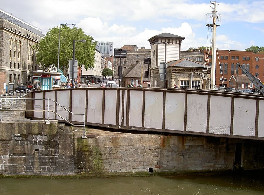
Prince Street Bridge
Grade II listed iron swing bridge of 1879 between the Arnolfini and M Shed, worked by water hydraulic power.
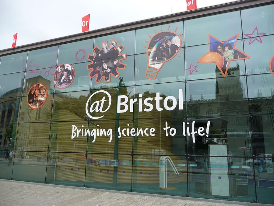
We The Curious
Science and arts centre with more than 200 interactive exhibits and a 3D planetarium, on Anchor Road.
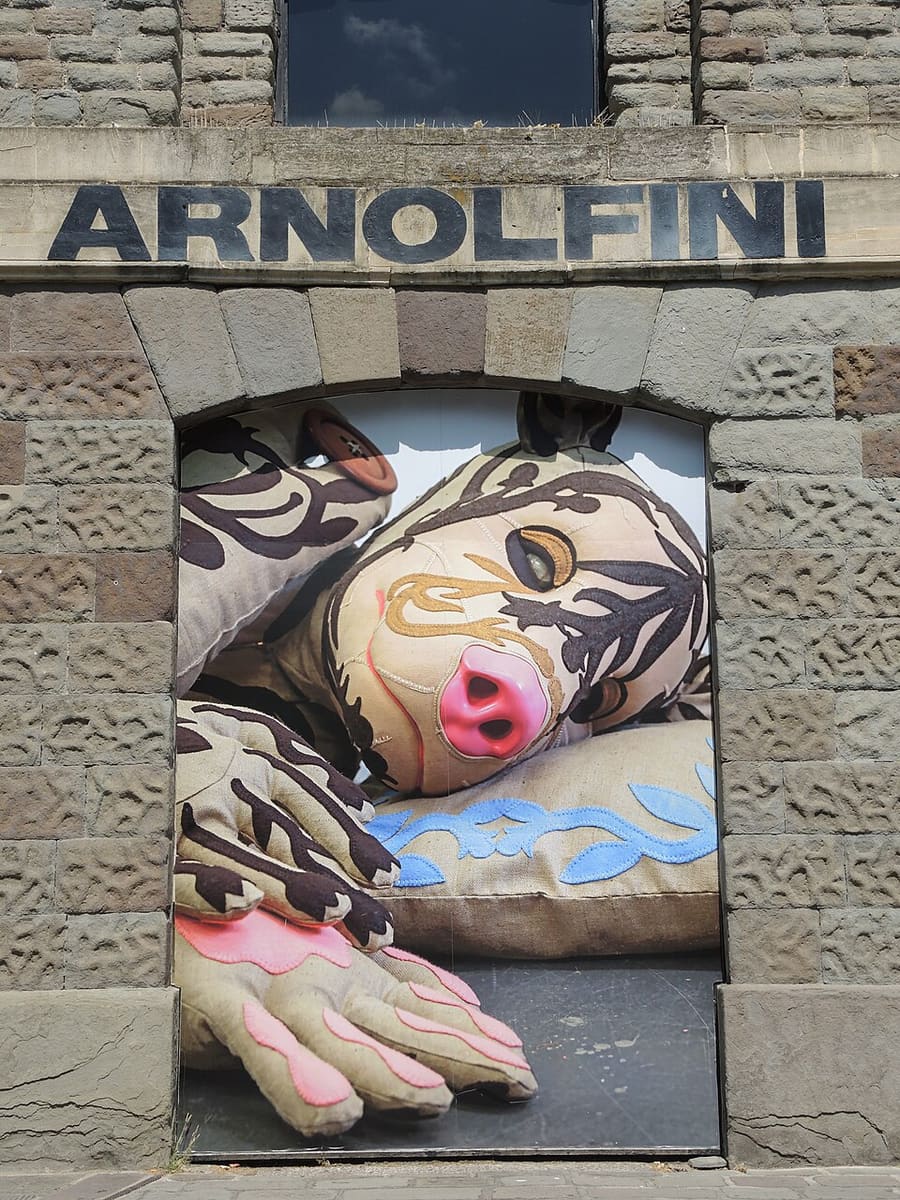
Arnolfini
Contemporary arts centre on Narrow Quay, showing exhibitions and performance on the harbourside since 1961.
Bristol
More areas to explore
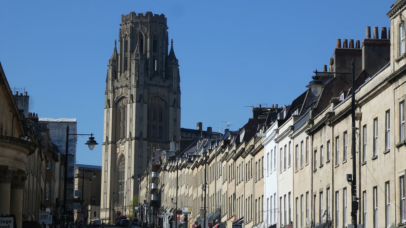
Old City, King Street & Park Street
Medieval streets, Georgian houses and museums from Corn Street up Park Street
Open the mini guide →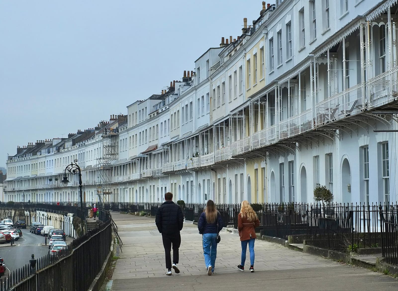
Clifton & the Suspension Bridge
Georgian terraces, the Downs and Brunel's bridge above the Avon Gorge
Open the mini guide →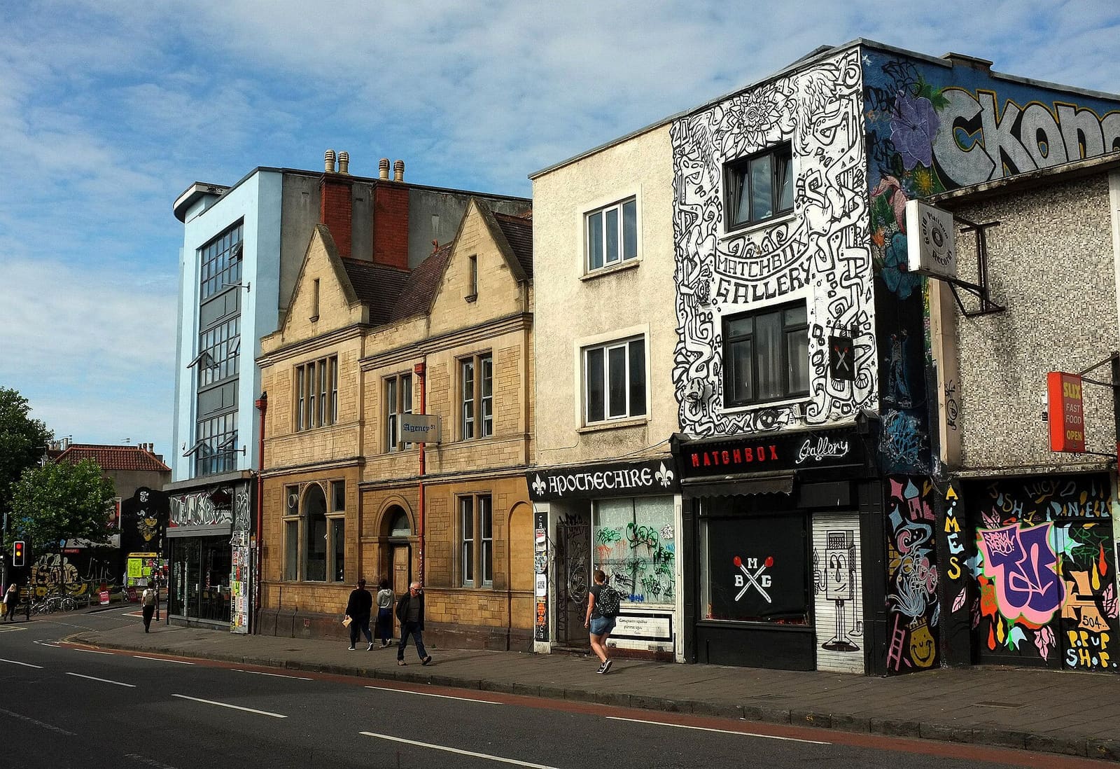
Stokes Croft, St Pauls & Montpelier
Street art, independent venues and Georgian squares north of the centre
Open the mini guide →Photo credits
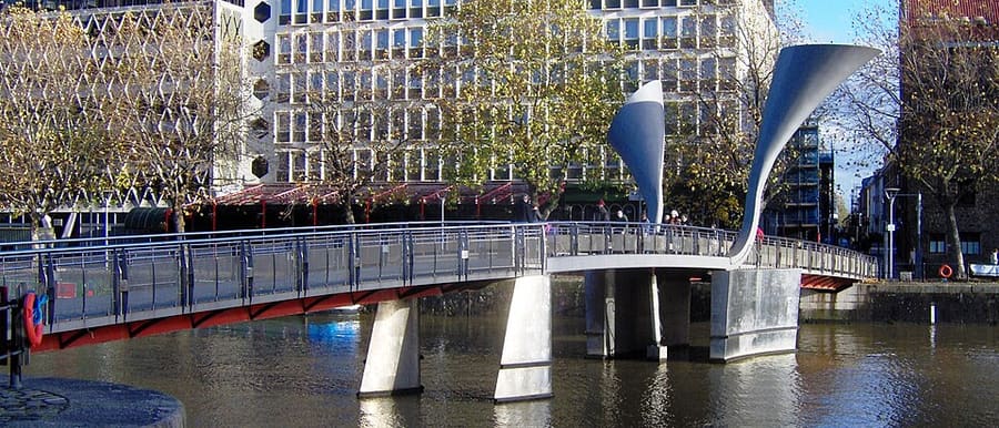
- Pero's Bridge: The original uploader was Rodw at English Wikipedia., Public domain, source
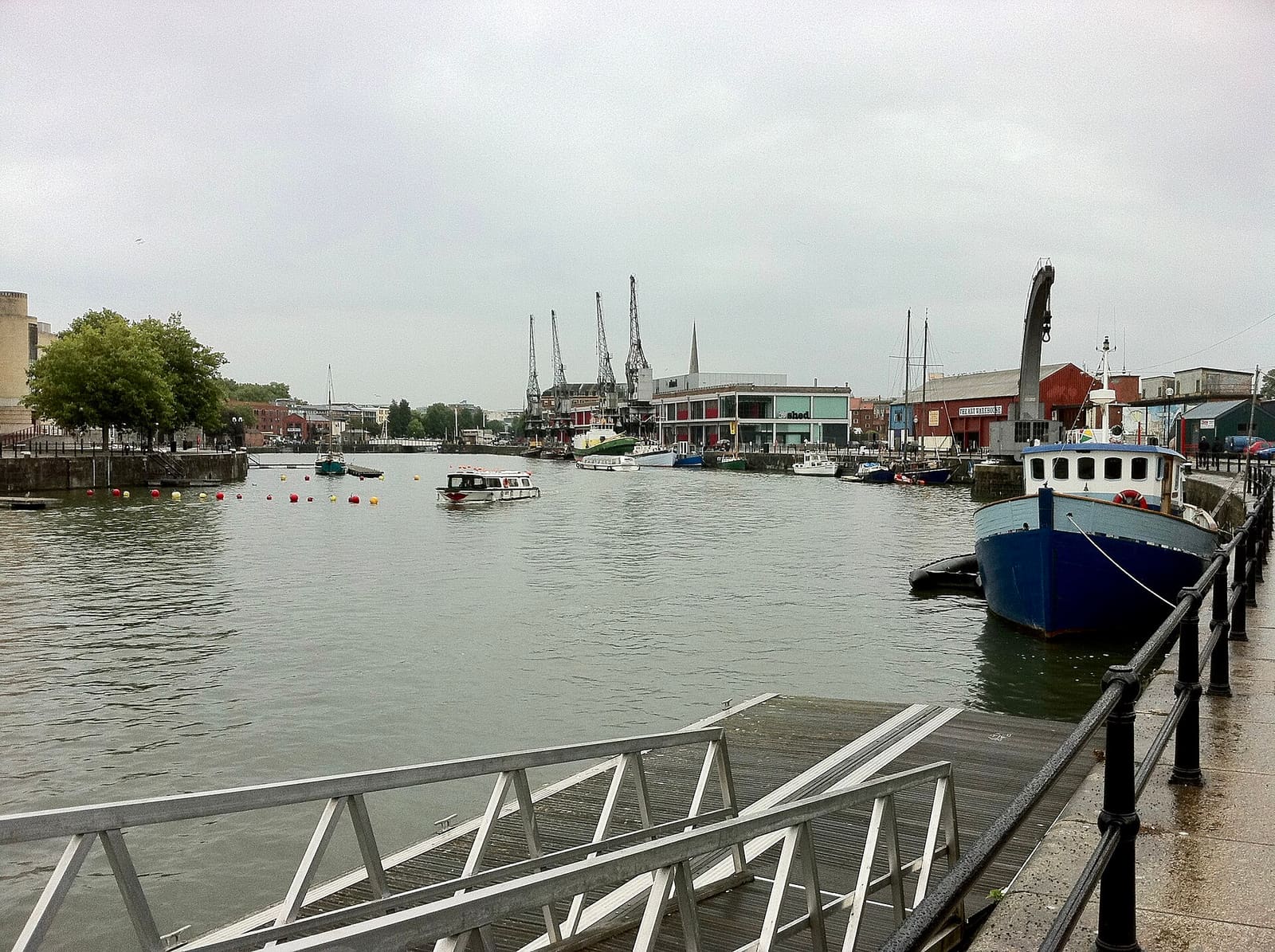
- Harbourside & Millennium Square (area photo): Andrew Abbott, CC BY-SA 2.0, source
- Prince Street Bridge: Neil Owen, CC BY-SA 2.0, source
- We The Curious: Immanuel Giel, Public domain, source
- Arnolfini: Neil Owen, CC BY-SA 2.0, source
- Old City, King Street & Park Street: Hyspaosines, CC BY-SA 2.0, source
- Clifton & the Suspension Bridge: Anthony O'Neil, CC BY-SA 2.0, source
- Stokes Croft, St Pauls & Montpelier: Derek Harper, CC BY-SA 2.0, source
- Redcliffe, Temple Meads & Bedminster: The wub, CC BY-SA 4.0, source
- Avon Gorge, Leigh Woods & Ashton Court: Tiia Monto, CC BY-SA 3.0, source
- Whiteladies Road & Redland: Steve Daniels, CC BY-SA 2.0, source
- Gloucester Road & Bishopston: Derek Harper, CC BY-SA 2.0, source
Photos from Wikimedia Commons, used under the licences shown. All photo credits