 English (UK)
 English (US)
 Français
 Deutsch
 Español
 Italiano
 Nederlands
 简体中文
A mini guide to
Redcliffe, Temple Meads & Bedminster: getting there
Stops, stations and how to reach Redcliffe, Temple Meads & Bedminster
Stops and stations
Getting to Redcliffe, Temple Meads & Bedminster
Choose the stop closest to where you are going.
| Stop or station | Services | Good for |
|---|---|---|
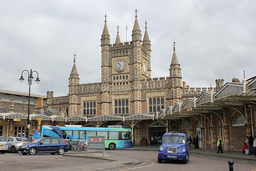
| Bristol Temple Meads | GWR, CrossCountry | Main station; Visit Bristol says it has step-free access and lifts to all platforms |
| Temple Quay ferry stop | Bristol Ferry Boats | Waterbus stop near Temple Meads; check the operator for the current service |
| Bedminster buses | First Bus | Many city services run along East Street and North Street; check the First Bus app |
Within walking range
Stations near Redcliffe, Temple Meads & Bedminster
Stations and stops mapped in OpenStreetMap within 2.5 km of the centre of Redcliffe, Temple Meads & Bedminster, nearest first. Distances are straight lines; walking times assume 5 km/h and are a minimum.
| Station or stop | Type | Distance | On foot |
|---|---|---|---|
| Princes Wharf | Station | 300 m | about 4 min |
| Bedminster | Rail station (Great Western Railway) | 600 m | about 7 min |
| SS Great Britain | Station | 700 m | about 9 min |
| Bristol Bus & Coach Station | Bus or coach station | 1.5 km | about 18 min |
| Parson Street | Rail station (Great Western Railway) | 1.6 km | about 20 min |
Station data: © OpenStreetMap contributors (ODbL), read 1 November 2026. Check step-free access with the operator before you travel.
Walking from nearby areas
- Harbourside & Millennium Square: 500 m from Redcliffe, Temple Meads & Bedminster, about 7 min on foot
- Old City, King Street & Park Street: 1000 m from Redcliffe, Temple Meads & Bedminster, about 11 min on foot
- Stokes Croft, St Pauls & Montpelier: 2.0 km from Redcliffe, Temple Meads & Bedminster, about 24 min on foot
- Clifton & the Suspension Bridge: 2.1 km from Redcliffe, Temple Meads & Bedminster, about 25 min on foot
Reaching Bristol
Official travel information
Bristol has an airport south-west of the city, a main railway station at Temple Meads and a bus and coach station near Broadmead. Always check the operator for current times, fares and disruption.
- Visit Bristol → — the city's official visitor site
- Visit Bristol: travelling to Bristol → — train, coach, car, boat and air
- Visit Bristol: travelling around Bristol → — buses, ferries, cycling and walking
- Visit Bristol: accessible travel → — step-free access and assistance
- Great Western Railway → — trains from London, Bath, Cardiff and the south west
- National Rail Enquiries → — train times and fares
- Bristol Airport → — flights and onward transport
- Travelwest → — journey planning for buses, trains, ferries and cycling
- First Bus → — most city bus services
- National Express → — coaches
- Bristol Ferry Boats → — harbour trips and waterbus
- Bristol City Council → — parks, museums and the Clean Air Zone
Times, fares and disruption change: use the operator pages above for live information.
Plan your journey here
Enter your starting point and Google Maps will show routes to Redcliffe, Temple Meads & Bedminster. Public transport is selected; change it on the map. Check operator sites for live disruption.
While you are here
Things to see in Redcliffe, Temple Meads & Bedminster
A few of the sights in the area. The Things to do page lists them all, with directions and official links.
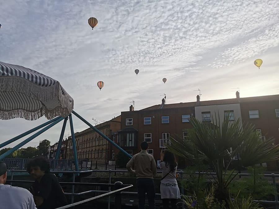
Bathurst Basin
Small triangular basin off the Floating Harbour, built on the site of an old mill pond and named after an MP.
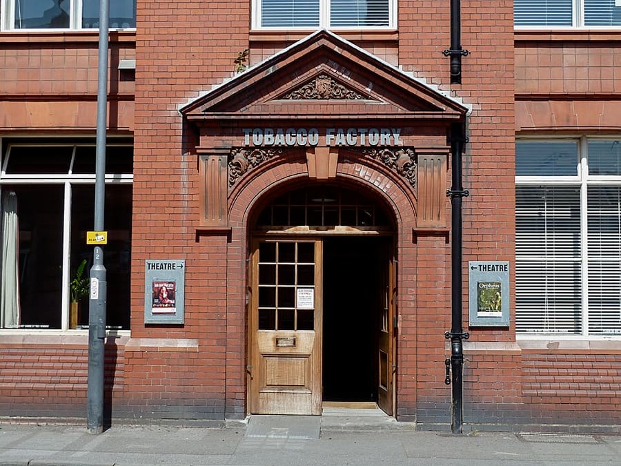
Tobacco Factory Theatre
Theatre in the former Wills tobacco factory on Raleigh Road, Southville, part of a multi-use arts and housing building.
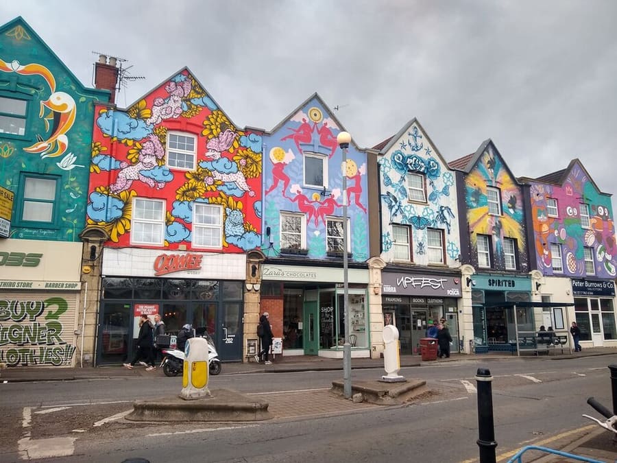
Upfest Gallery and murals
Gallery on North Street run by Upfest, which curates Europe's largest street-art festival and murals around Bedminster and Southville.
Bristol
More areas to explore
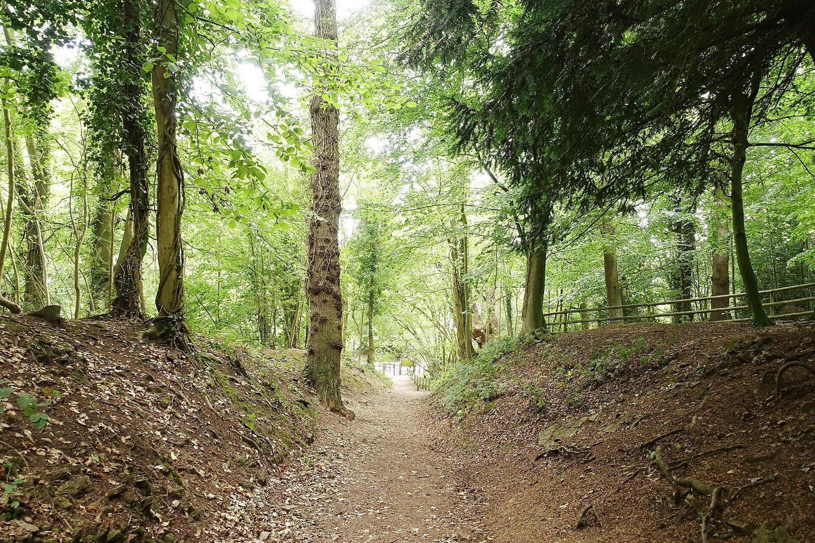
Avon Gorge, Leigh Woods & Ashton Court
Woods, hillforts and parkland either side of the gorge, with Hotwells at its foot
Open the mini guide →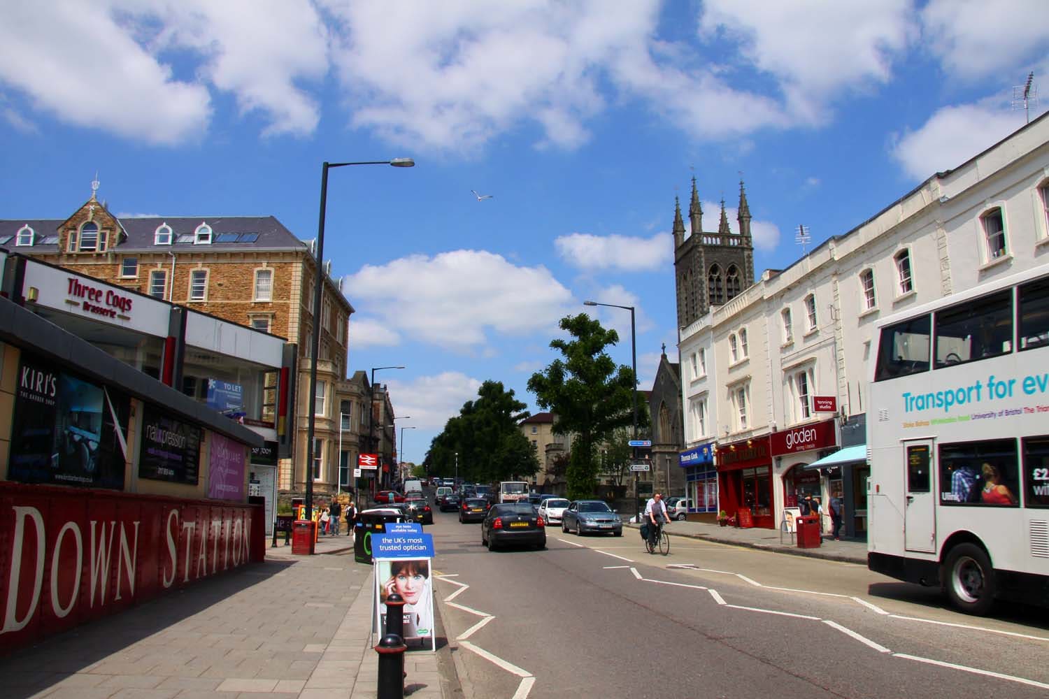
Whiteladies Road & Redland
Georgian chapel, village greens and a long street of cafés and restaurants, a mile north-west of the centre
Open the mini guide →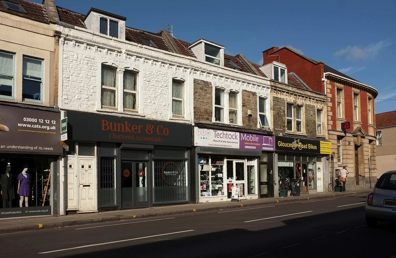
Gloucester Road & Bishopston
A long street of independent shops, bars and cafés, with city parks and a city farm nearby
Open the mini guide →Photo credits
- Bristol Temple Meads: Julian Nyča, CC BY-SA 3.0, source
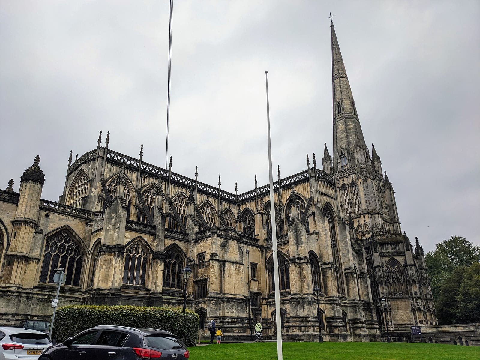
- Redcliffe, Temple Meads & Bedminster (area photo): The wub, CC BY-SA 4.0, source
- Bathurst Basin: Lewis Clarke, CC BY-SA 2.0, source
- Tobacco Factory Theatre: Anthony O'Neil, CC BY-SA 2.0, source
- Upfest Gallery and murals: S, CC BY-SA 2.0, source
- Avon Gorge, Leigh Woods & Ashton Court: Tiia Monto, CC BY-SA 3.0, source
- Whiteladies Road & Redland: Steve Daniels, CC BY-SA 2.0, source
- Gloucester Road & Bishopston: Derek Harper, CC BY-SA 2.0, source
- Harbourside & Millennium Square: Andrew Abbott, CC BY-SA 2.0, source
- Old City, King Street & Park Street: Hyspaosines, CC BY-SA 2.0, source
- Clifton & the Suspension Bridge: Anthony O'Neil, CC BY-SA 2.0, source
- Stokes Croft, St Pauls & Montpelier: Derek Harper, CC BY-SA 2.0, source
Photos from Wikimedia Commons, used under the licences shown. All photo credits