 English (UK)
 English (US)
 Français
 Deutsch
 Español
 Italiano
 Nederlands
 简体中文
Street
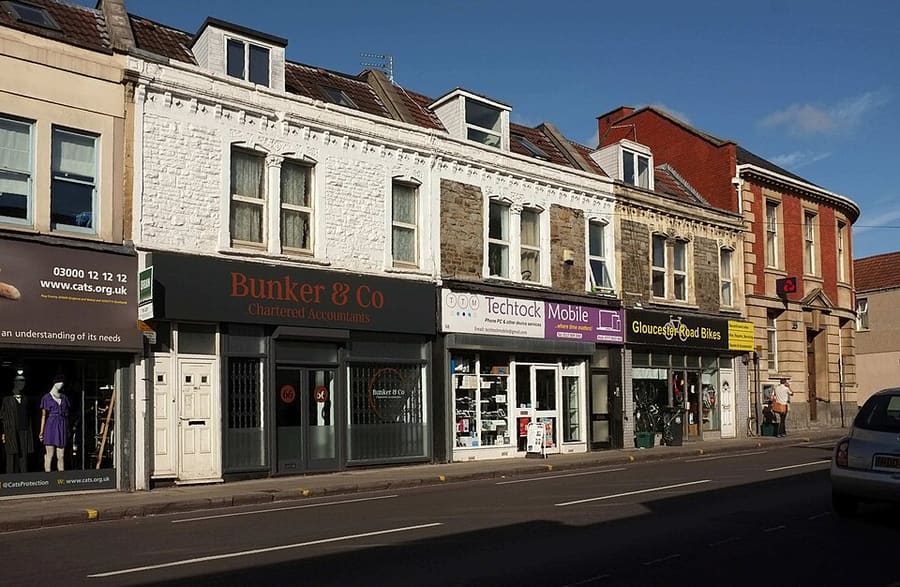
Gloucester Road
Road of about 1.7 miles on the old route to Gloucester, known for its run of independent shops, cafés and bars.
A mini guide to
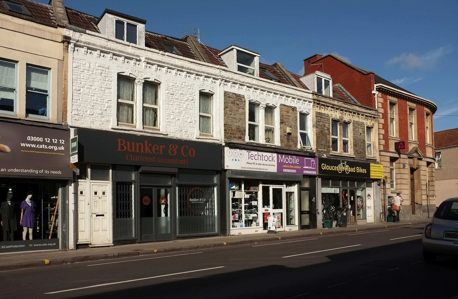
A long street of independent shops, bars and cafés, with city parks and a city farm nearby
Welcome to the area
Gloucester Road is a 1.7-mile stretch of the old coaching route to Gloucester, running through St Andrews, Bishopston and Horfield. Bristol City Council promotes it as a centre of independent trade, and Wikipedia reports that a developer once called it the longest row of independent shops in Europe.
Cheltenham Road and Zetland Road at the southern end add restaurants and bars, and the street is a good place to eat well away from the harbour. Nearby are St Andrews Park, Horfield Common and St Werburghs City Farm.
Highlights
If you only have a few hours, these are good places to begin.
Road of about 1.7 miles on the old route to Gloucester, known for its run of independent shops, cafés and bars.
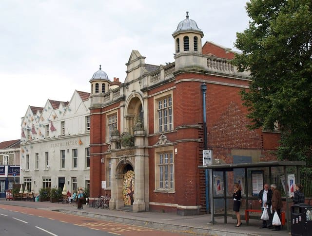
Grade II listed baths of 1915 on Gloucester Road, closed in 2005. View from the street only; it awaits redevelopment.
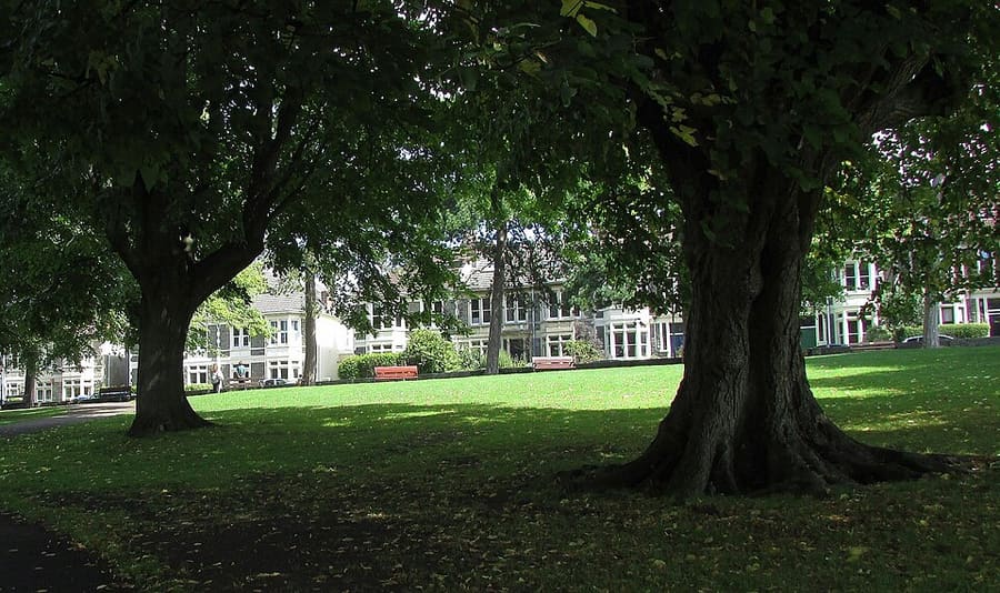
Victorian neighbourhood park with a play area and a summer paddling pool.
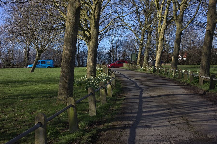
Open space of about 32 hectares in north Bristol, with a community café, a wildlife pond and marked routes.
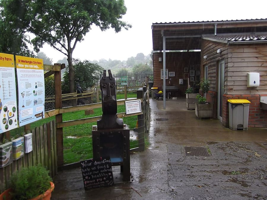
Community city farm in the heart of Bristol, with animals, a café, a community garden and allotments.
Directions Website Report a problem with St Werburghs City Farm
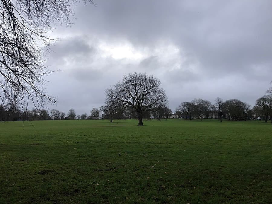
Victorian park bought from the Smyth family of Ashton Court in 1889, with a lake and tennis courts.
Find your way
The map shows Gloucester Road & Bishopston and the streets around it. The Getting there page lists nearby stops and stations.
Insider tips
The road is about 1.7 miles long, so decide whether you want the southern bars and restaurants or the northern shops and cafés.
The Grade II listed Bristol North Baths closed in 2005 and are awaiting redevelopment. View them from the street.
St Andrews Park and Horfield Common are free and open at all times, according to Bristol City Council.
Smaller venues keep their own hours, so check each venue’s site before a special trip.
Tips from the Britlens editors
Explore this guide
Bristol
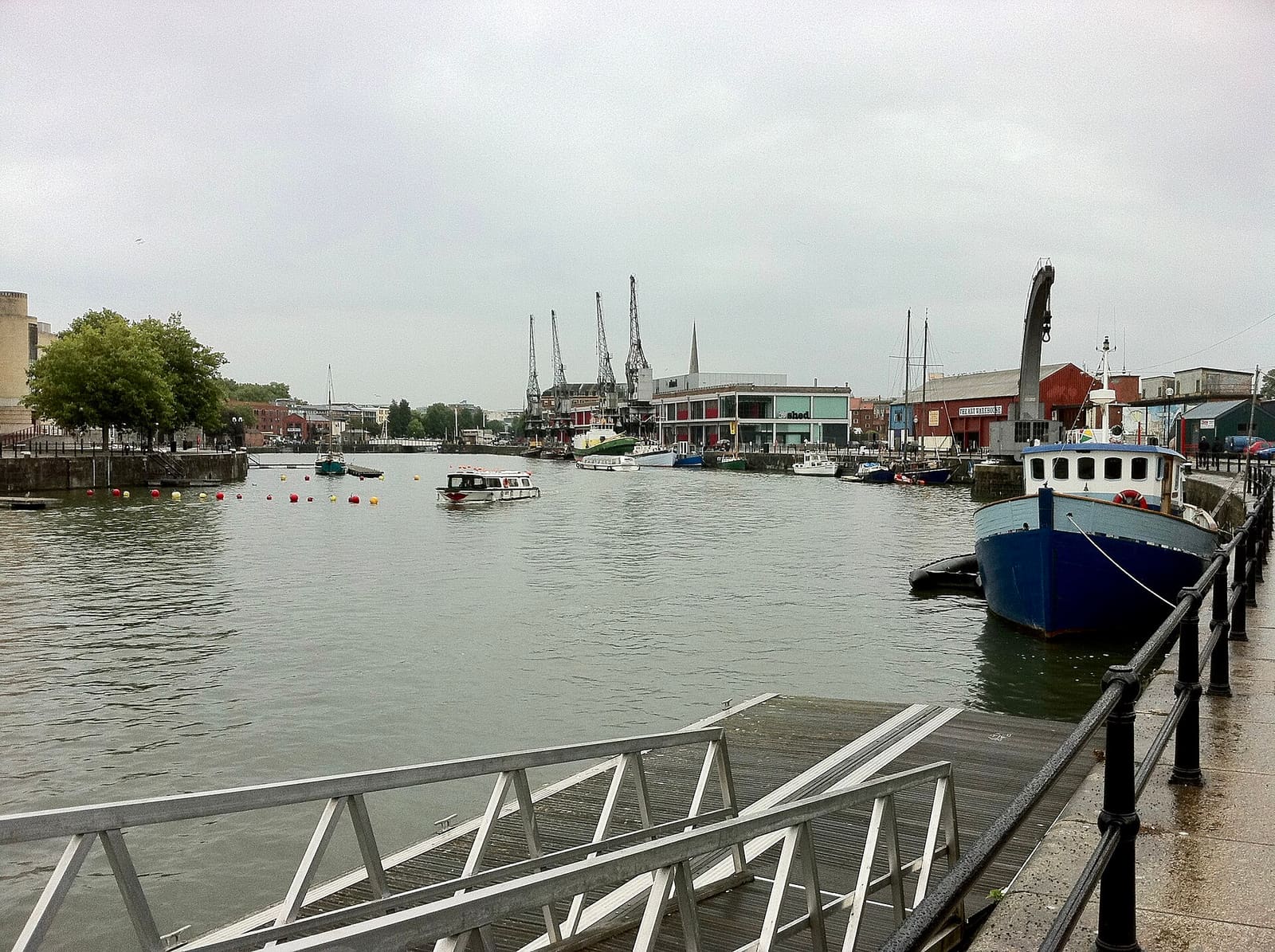
Museums, galleries and waterside dining around the Floating Harbour
Open the mini guide →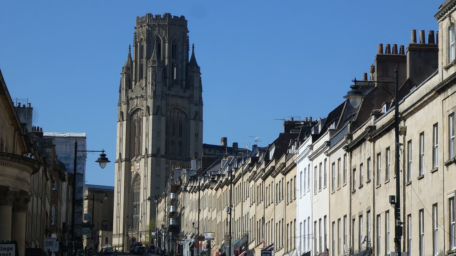
Medieval streets, Georgian houses and museums from Corn Street up Park Street
Open the mini guide →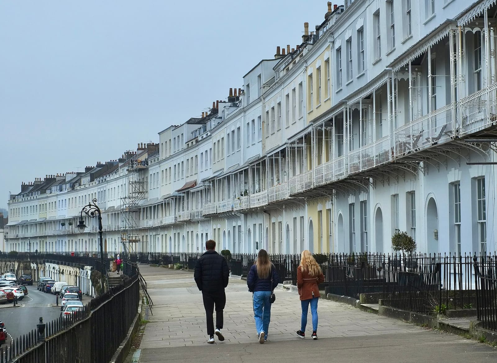
Georgian terraces, the Downs and Brunel's bridge above the Avon Gorge
Open the mini guide →Photos from Wikimedia Commons, used under the licences shown. All photo credits