 English (UK)
 English (US)
 Français
 Deutsch
 Español
 Italiano
 Nederlands
 简体中文
A mini guide to
Spinningfields & Deansgate: getting there
Stops, stations and how to reach Spinningfields & Deansgate
Stops and stations
Getting to Spinningfields & Deansgate
Choose the stop closest to where you are going.
| Stop or station | Services | Good for |
|---|---|---|
| St Peter's Square | Metrolink | Tram stop beside the Central Library and Town Hall |
| Market Street | Metrolink | Tram stop at the Arndale end of the shopping streets |
| Deansgate-Castlefield | Metrolink | Tram stop at the southern end of Deansgate |
| Salford Central | National Rail | Railway station on the western side of Spinningfields |
Within walking range
Stations near Spinningfields & Deansgate
Stations and stops mapped in OpenStreetMap within 2.5 km of the centre of Spinningfields & Deansgate, nearest first. Distances are straight lines; walking times assume 5 km/h and are a minimum.
| Station or stop | Type | Distance | On foot |
|---|---|---|---|
| Exchange Square | Tram stop (KeolisAmey Metrolink) | 600 m | about 7 min |
| Mosley Street | Tram stop | 600 m | about 7 min |
Station data: © OpenStreetMap contributors (ODbL), read 25 October 2026. Check step-free access with the operator before you travel.
Walking from nearby areas
- Castlefield & the Canals: 500 m from Spinningfields & Deansgate, about 7 min on foot
- Piccadilly, Chinatown & the Village: 700 m from Spinningfields & Deansgate, about 9 min on foot
- Northern Quarter & Cathedral: 800 m from Spinningfields & Deansgate, about 9 min on foot
- Ancoats & New Islington: 1.5 km from Spinningfields & Deansgate, about 17 min on foot
Reaching Manchester
Official travel information
Manchester has an international airport south of the centre, four main railway stations and a coach station near Piccadilly Gardens. Always check the operator for current times, fares and disruption.
- Visit Manchester → — the city's official visitor site
- Manchester Airport: to and from the airport → — train, tram, bus and taxi
- Bee Network (TfGM) → — journey planner, travel updates, tickets
- Bee Network: tram → — Metrolink routes and planned works
- Bee Network: contactless on bus and tram → — how tap and go works, with daily and weekly caps
- Bee Network: bus → — routes and tickets
- Bee Network: accessible travel → — support when travelling
- National Rail Enquiries → — train times and fares
- Avanti West Coast → — London Euston and the West Coast
- TransPennine Express → — trains to the north and across the Pennines
- Northern → — regional trains
- Manchester City Council → — local information
Times, fares and disruption change: use the operator pages above for live information.
Plan your journey here
Enter your starting point and Google Maps will show routes to Spinningfields & Deansgate. Public transport is selected; change it on the map. Check operator sites for live disruption.
While you are here
Things to see in Spinningfields & Deansgate
A few of the sights in the area. The Things to do page lists them all, with directions and official links.
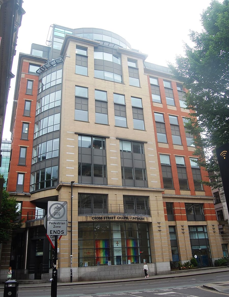
Cross Street Chapel
Unitarian chapel in the city centre, a member of the General Assembly of Unitarian and Free Christian Churches.
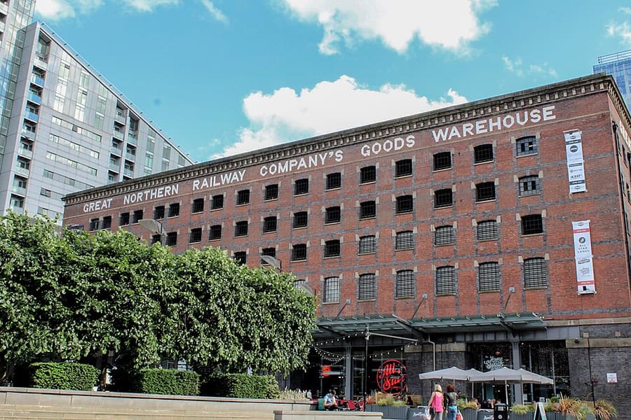
Great Northern Warehouse
Former railway goods warehouse at Deansgate and Peter Street, Grade II* listed and refurbished as a leisure complex in 1999.
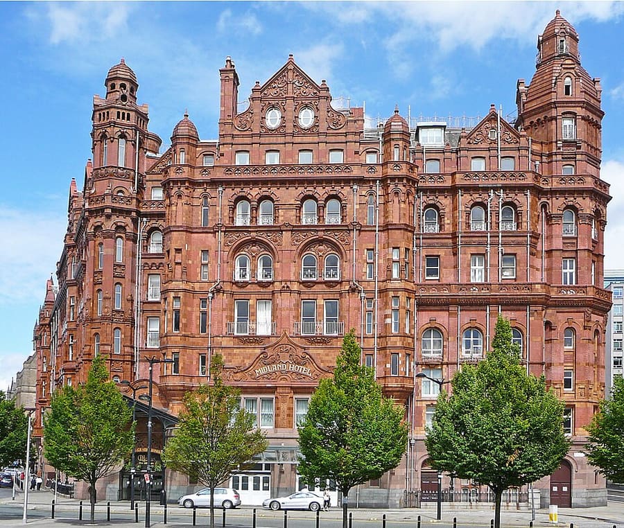
The Midland Hotel
Edwardian Baroque hotel on Peter Street, opened in 1903 by the Midland Railway, Grade II* listed.
Manchester
More areas to explore
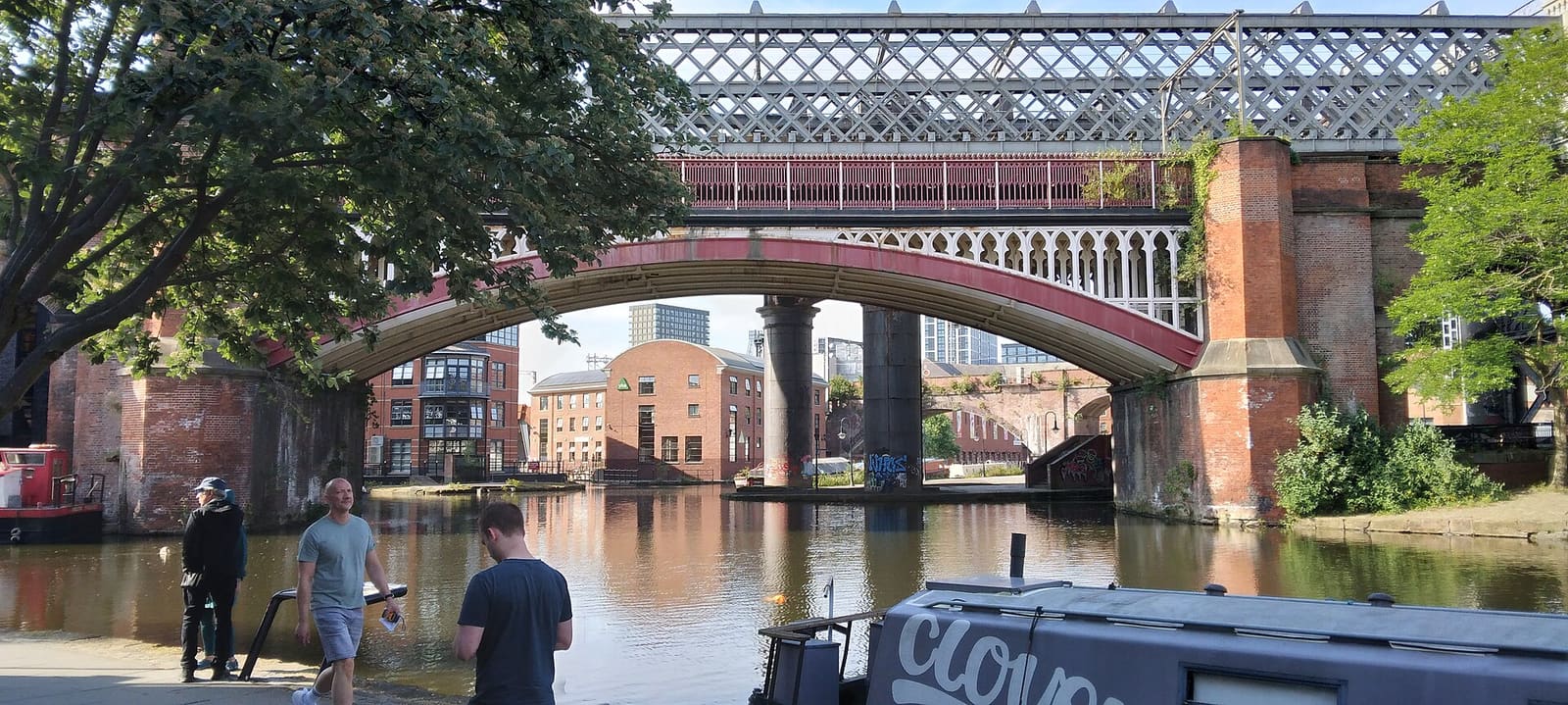
Castlefield & the Canals
Roman fort, canal basin and railway firsts, in the city's urban heritage park
Open the mini guide →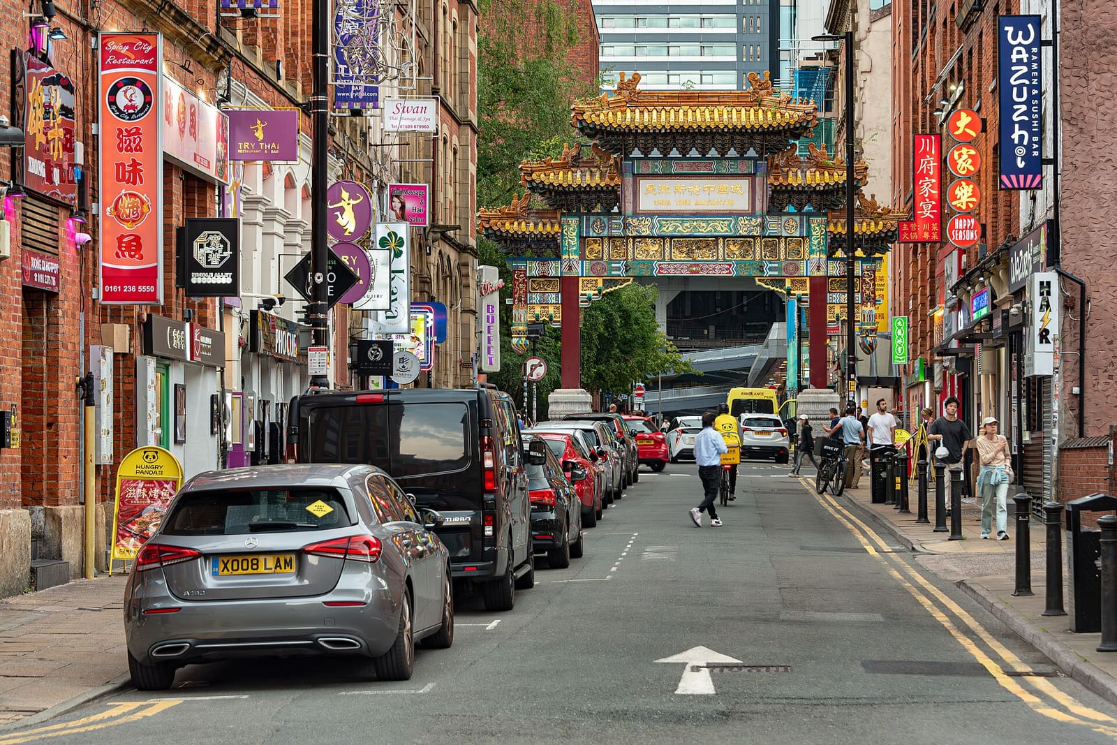
Piccadilly, Chinatown & the Village
Chinatown's arch, the canalside Gay Village and the gallery on Mosley Street
Open the mini guide →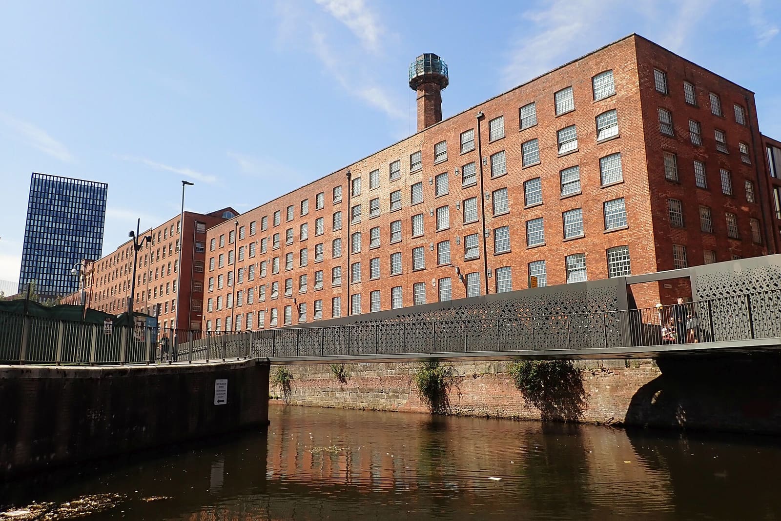
Ancoats & New Islington
Early cotton mills, canals and a redeveloped waterside quarter
Open the mini guide →Photo credits
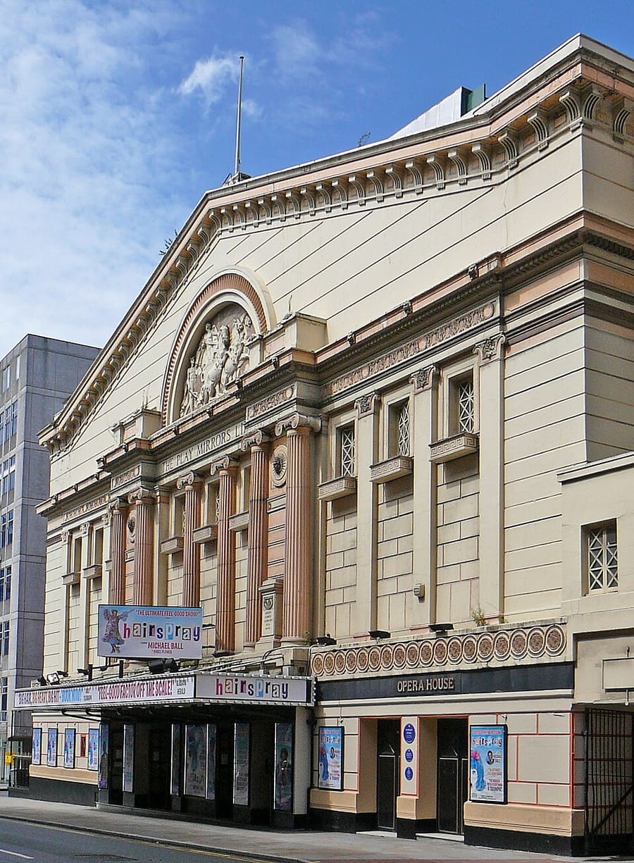
- Manchester Opera House: Tim Green from Bradford, CC BY 2.0, source
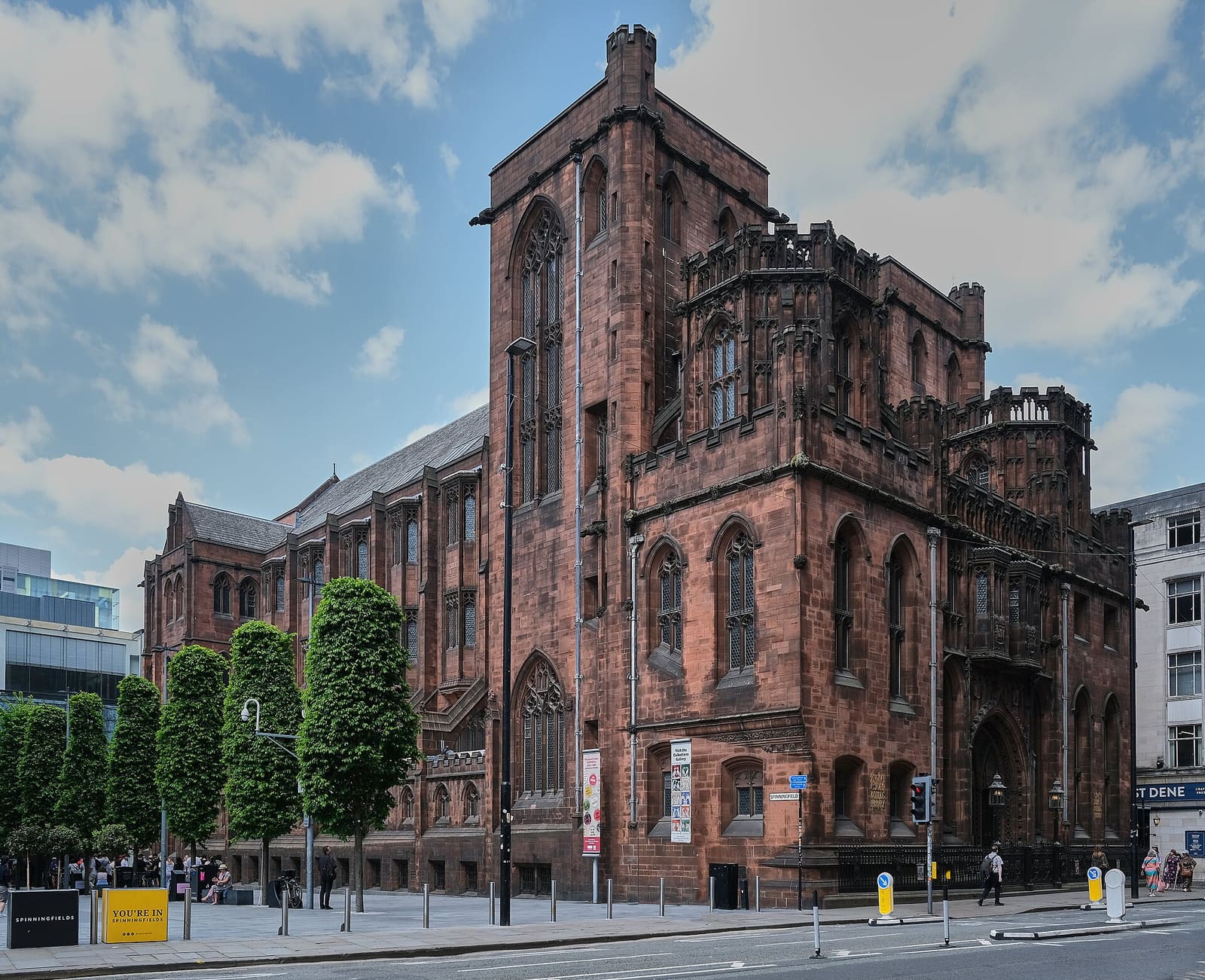
- Spinningfields & Deansgate (area photo): Anthony O'Neil, CC BY-SA 2.0, source
- Cross Street Chapel: User:Hassocks5489, CC0, source
- Great Northern Warehouse: Marc A Gibbs, CC BY-SA 4.0, source
- The Midland Hotel: Tim Green from Bradford, CC BY 2.0, source
- Castlefield & the Canals: Ridiculopathy, CC0, source
- Piccadilly, Chinatown & the Village: Jorge Franganillo, CC BY 4.0, source
- Ancoats & New Islington: DS Pugh, CC BY-SA 2.0, source
- Salford Quays & MediaCity: Rosser1954, CC BY 4.0, source
- Oxford Road & Rusholme: DrPhoenix, CC BY-SA 3.0, source
- Chorlton & Didsbury: Wikidwitch, CC BY-SA 3.0, source
- Altrincham & Sale: Parrot of Doom, CC BY-SA 3.0, source
- Northern Quarter & Cathedral: Anthony Parkes, CC BY-SA 2.0, source
Photos from Wikimedia Commons, used under the licences shown. All photo credits
Keep exploring Manchester