 English (UK)
 English (US)
 Français
 Deutsch
 Español
 Italiano
 Nederlands
 简体中文
A mini guide to
Chorlton & Didsbury: getting there
Stops, stations and how to reach Chorlton & Didsbury
Stops and stations
Getting to Chorlton & Didsbury
Choose the stop closest to where you are going.
| Stop or station | Services | Good for |
|---|---|---|
| Chorlton | Metrolink | Tram stop close to the centre of Chorlton |
| St Werburgh's Road | Metrolink | Tram stop in Chorlton, a walk from Chorlton Green |
| West Didsbury | Metrolink | Tram stop for Burton Road |
| Didsbury Village | Metrolink | Tram stop for the village centre |
| East Didsbury | Metrolink and National Rail | Tram stop and railway station at the southern end of Didsbury |
Within walking range
Stations near Chorlton & Didsbury
Stations and stops mapped in OpenStreetMap within 2.5 km of the centre of Chorlton & Didsbury, nearest first. Distances are straight lines; walking times assume 5 km/h and are a minimum.
| Station or stop | Type | Distance | On foot |
|---|---|---|---|
| Withington | Tram stop (KeolisAmey Metrolink) | 500 m | about 6 min |
| Burton Road | Tram stop (KeolisAmey Metrolink) | 900 m | about 11 min |
| Barlow Moor Road | Tram stop (Metrolink) | 1.1 km | about 13 min |
Station data: © OpenStreetMap contributors (ODbL), read 25 October 2026. Check step-free access with the operator before you travel.
Walking from nearby areas
- Oxford Road & Rusholme: 3.7 km from Chorlton & Didsbury, about 45 min on foot
- Salford Quays & MediaCity: 5.2 km from Chorlton & Didsbury, better by public transport
- Castlefield & the Canals: 5.3 km from Chorlton & Didsbury, better by public transport
- Piccadilly, Chinatown & the Village: 5.5 km from Chorlton & Didsbury, better by public transport
Reaching Manchester
Official travel information
Manchester has an international airport south of the centre, four main railway stations and a coach station near Piccadilly Gardens. Always check the operator for current times, fares and disruption.
- Visit Manchester → — the city's official visitor site
- Manchester Airport: to and from the airport → — train, tram, bus and taxi
- Bee Network (TfGM) → — journey planner, travel updates, tickets
- Bee Network: tram → — Metrolink routes and planned works
- Bee Network: contactless on bus and tram → — how tap and go works, with daily and weekly caps
- Bee Network: bus → — routes and tickets
- Bee Network: accessible travel → — support when travelling
- National Rail Enquiries → — train times and fares
- Avanti West Coast → — London Euston and the West Coast
- TransPennine Express → — trains to the north and across the Pennines
- Northern → — regional trains
- Manchester City Council → — local information
Times, fares and disruption change: use the operator pages above for live information.
Plan your journey here
Enter your starting point and Google Maps will show routes to Chorlton & Didsbury. Public transport is selected; change it on the map. Check operator sites for live disruption.
While you are here
Things to see in Chorlton & Didsbury
A few of the sights in the area. The Things to do page lists them all, with directions and official links.
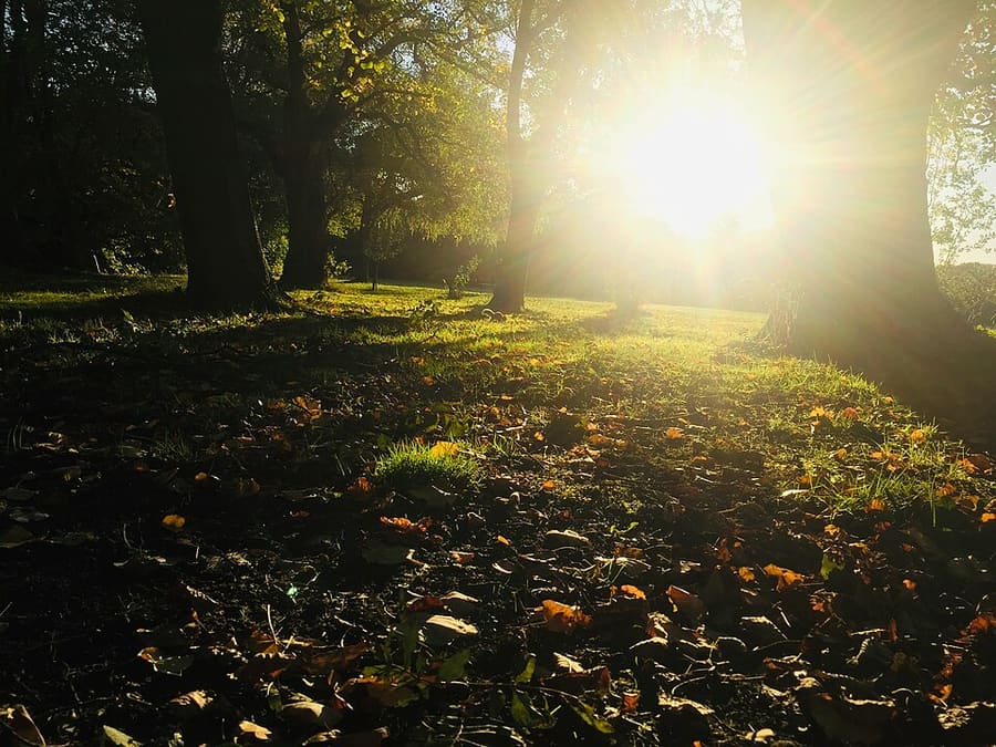
Fog Lane Park
Public park in Didsbury with a café; its own website lists news and events.
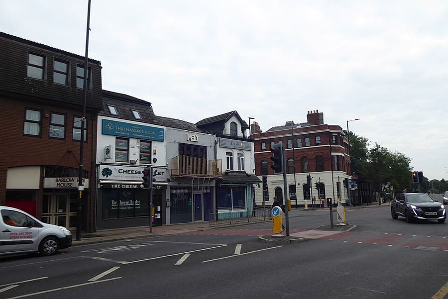
Didsbury Village
The old village centre of Didsbury on Wilmslow Road, with a long run of bars, cafés and restaurants.
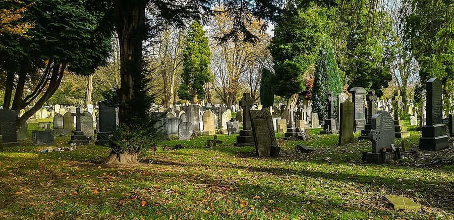
Southern Cemetery
Municipal cemetery that opened in 1879; the largest municipal cemetery in the UK. The original cemetery is on the Register of Parks and Gardens.
Manchester
More areas to explore
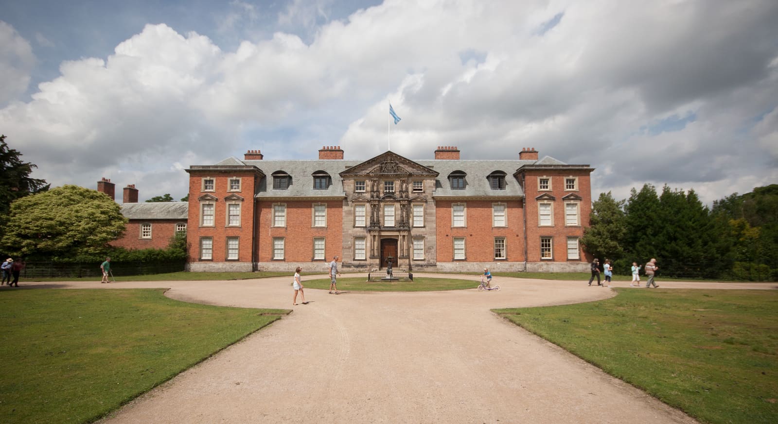
Altrincham & Sale
Market town, canal towpaths and country-house parkland south-west of the city
Open the mini guide →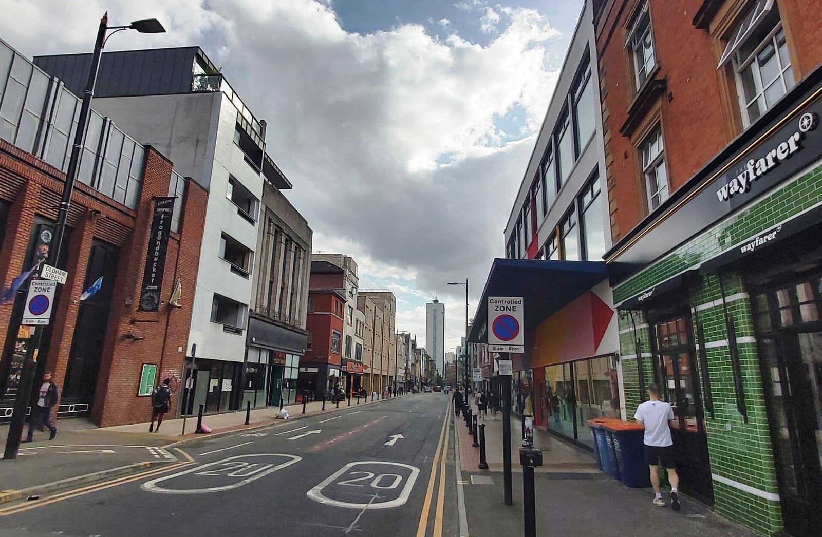
Northern Quarter & Cathedral
Independent shops, bars and music venues, with the cathedral and the football museum a short walk west
Open the mini guide →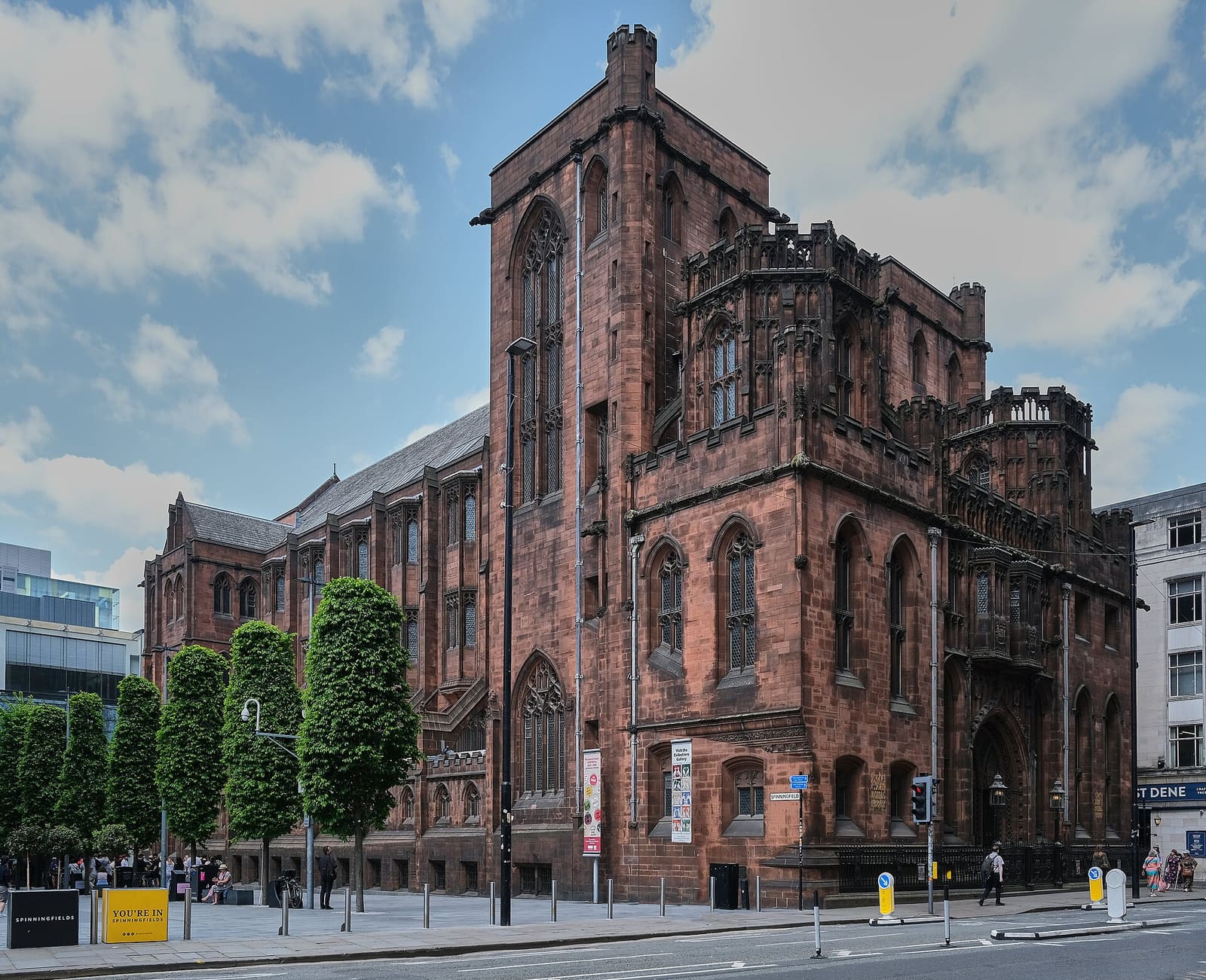
Spinningfields & Deansgate
The Victorian civic heart and the glass offices of Spinningfields
Open the mini guide →Photo credits
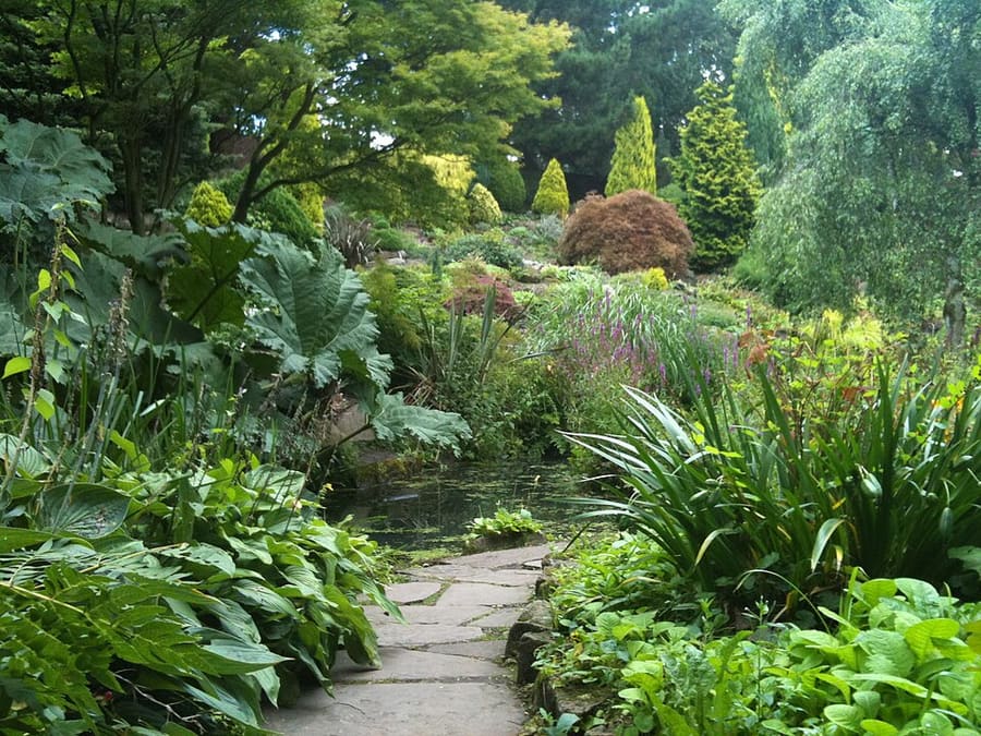
- Fletcher Moss Botanical Garden: Wikidwitch, CC BY-SA 3.0, source
- Chorlton & Didsbury (area photo): Wikidwitch, CC BY-SA 3.0, source
- Fog Lane Park: Cnbrb, CC BY-SA 4.0, source
- Didsbury Village: Tom Jolliffe, CC BY-SA 2.0, source
- Southern Cemetery: Peter McDermott, CC BY-SA 2.0, source
- Altrincham & Sale: Parrot of Doom, CC BY-SA 3.0, source
- Northern Quarter & Cathedral: Anthony Parkes, CC BY-SA 2.0, source
- Spinningfields & Deansgate: Anthony O'Neil, CC BY-SA 2.0, source
- Castlefield & the Canals: Ridiculopathy, CC0, source
- Piccadilly, Chinatown & the Village: Jorge Franganillo, CC BY 4.0, source
- Ancoats & New Islington: DS Pugh, CC BY-SA 2.0, source
- Salford Quays & MediaCity: Rosser1954, CC BY 4.0, source
- Oxford Road & Rusholme: DrPhoenix, CC BY-SA 3.0, source
Photos from Wikimedia Commons, used under the licences shown. All photo credits
Keep exploring Manchester