 English (UK)
 English (US)
 Français
 Deutsch
 Español
 Italiano
 Nederlands
 简体中文
Un mini-guide de
Eton: getting there
Stops, stations and how to reach Eton
Arrêts et stations
Getting to Eton
Choisissez l'arrêt le plus proche de votre destination.
| Arrêt ou station | Services | Idéal pour |
|---|---|---|
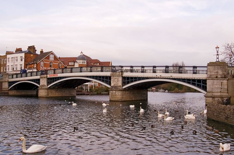
| Windsor Bridge | On foot from Windsor | Pedestrian and cycle bridge; a few minutes from both Windsor stations |
| Windsor & Eton Riverside | South Western Railway | The nearer station to Eton, with direct trains to London Waterloo |
| Windsor & Eton Central | GWR shuttle to Slough | Connections to London Paddington |
Within walking range
Stations near Eton
Stations and stops mapped in OpenStreetMap within 2.5 km of the centre of Eton, nearest first. Distances are straight lines; walking times assume 5 km/h and are a minimum.
| Station or stop | Type | Distance | À pied |
|---|---|---|---|
| Windsor and Eton Riverside | Rail station (South Western Railway) | 600 m | about 7 min |
| Windsor and Eton Central | Rail station (Great Western Railway) | 900 m | about 11 min |
| Datchet | Rail station (South Western Railway) | 2.3 km | about 28 min |
Station data: © OpenStreetMap contributors (ODbL), read 3 November 2026. Check step-free access with the operator before you travel.
Walking from nearby areas
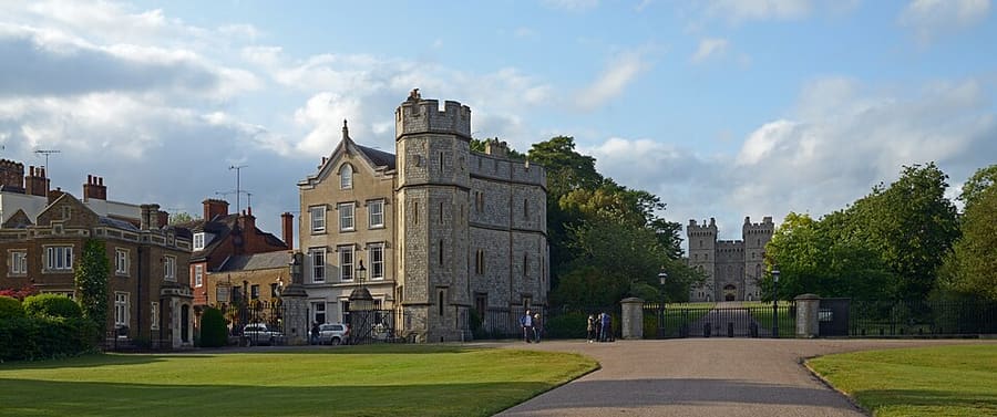
- Castle & Town: 1.0 km from Eton, about 12 min on foot
Reaching Windsor
Informations officielles sur les transports
Windsor has two railway stations, both a short walk from the castle: Windsor & Eton Central (trains from Slough, connecting with London Paddington) and Windsor & Eton Riverside (direct trains from London Waterloo). Check the operators for current times and engineering work, especially at weekends.
- Visit Windsor → — official tourism site of the Royal Borough of Windsor and Maidenhead
- GWR: London to Windsor → — trains from Paddington via Slough
- South Western Railway → — direct trains from Waterloo to Windsor & Eton Riverside
- Eton Information Centre → — 67 High Street, Eton, just over the bridge
- Britlens: Windsor day trip from London → — a one-day plan from London
Les horaires, les tarifs et les perturbations changent : consultez les pages des opérateurs ci-dessus pour des informations en direct.
Planifiez votre trajet ici
Enter your starting point and Google Maps will show routes to Eton. Public transport is selected; change it on the map. Check operator sites for live disruption.
While you are here
Things to see in Eton
A few of the sights in the area. The Things to do page lists them all, with directions and official links.
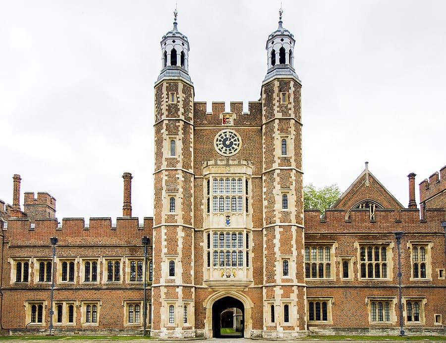
Eton College
Boarding school founded by Henry VI in 1440; Lupton's Tower fronts School Yard. No heritage tours in 2026 because of building works.
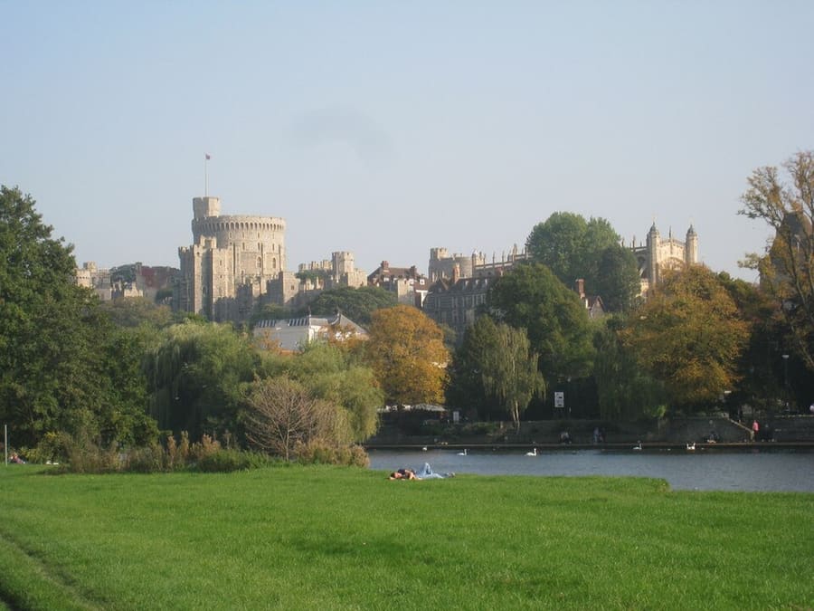
The Brocas
Open meadow on the Eton bank upstream of the bridge, on the Eton Walkway, with a view across the Thames to the castle.
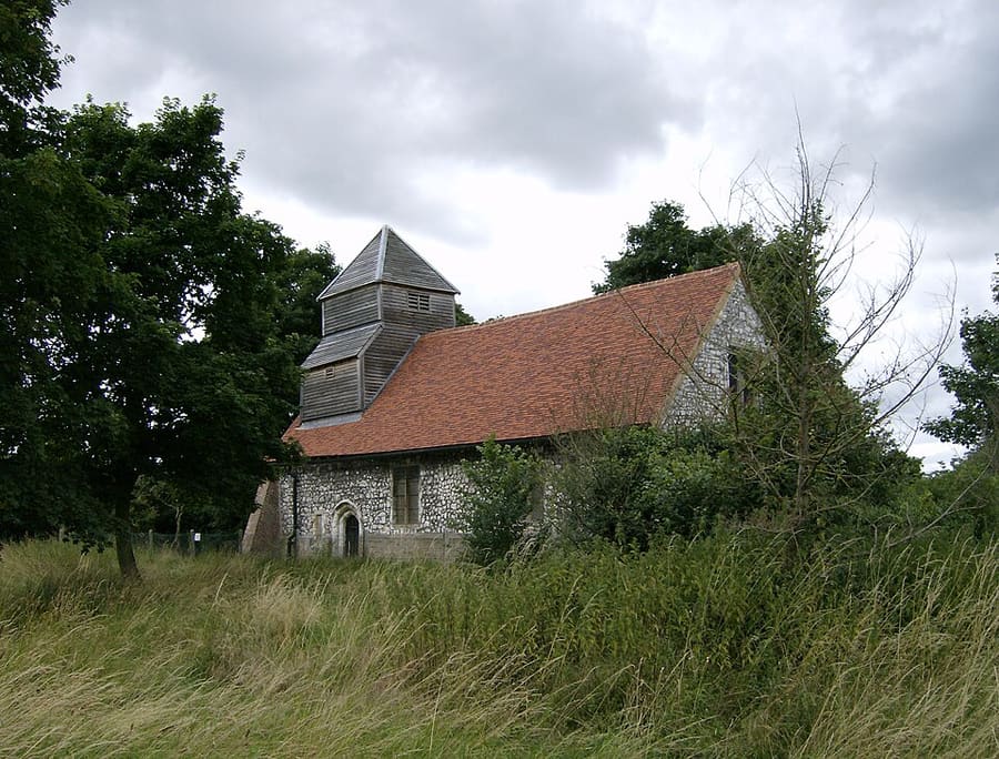
St Mary Magdalene's Church, Boveney
Grade I listed 12th-century flint and chalk chapel on the Thames, built for bargemen; cared for by the Friends of Friendless Churches.
Crédits photos
- Windsor Bridge: The original uploader was Wyrdlight at English Wikipedia., CC BY-SA 2.5, source
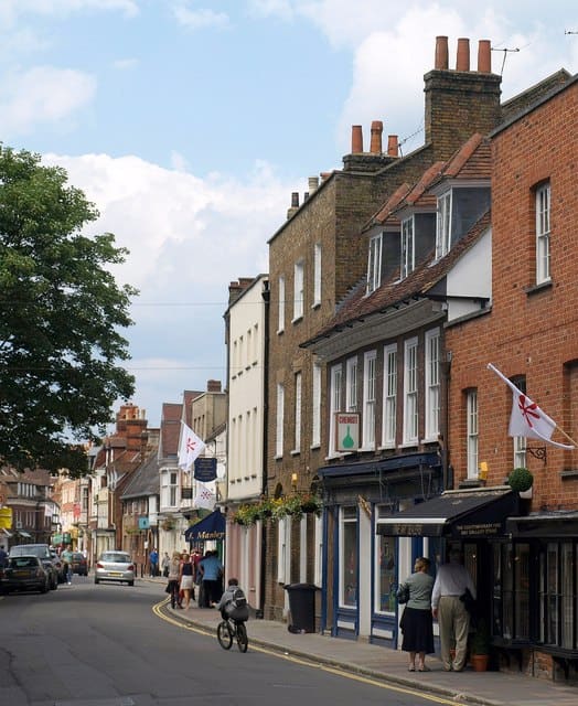
- Eton (area photo): Derek Harper, CC BY-SA 2.0, source
- Eton College: Evka W, CC BY-SA 4.0, source
- The Brocas: Jonathan Thacker, CC BY-SA 2.0, source
- St Mary Magdalene's Church, Boveney: UKgeofan (talk), CC BY-SA 3.0, source
- Castle & Town: Ввласенко, CC BY-SA 3.0, source
Photos from Wikimedia Commons, used under the licences shown. All photo credits
Keep exploring Windsor