 English (UK)
 English (US)
 Français
 Deutsch
 Español
 Italiano
 Nederlands
 简体中文
Una mini guida a
Eton: getting there
Stops, stations and how to reach Eton
Fermate e stazioni
Getting to Eton
Scegliere la fermata più vicina alla destinazione.
| Fermata o stazione | Servizi | Adatto a |
|---|---|---|
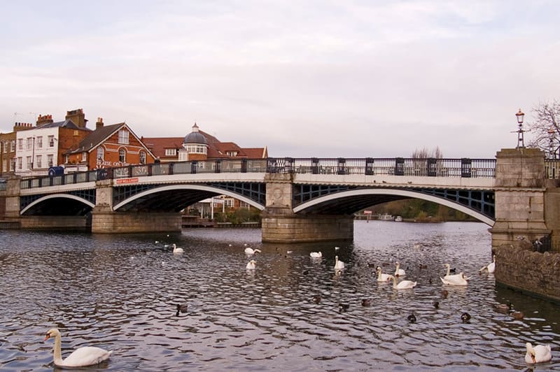
| Windsor Bridge | On foot from Windsor | Pedestrian and cycle bridge; a few minutes from both Windsor stations |
| Windsor & Eton Riverside | South Western Railway | The nearer station to Eton, with direct trains to London Waterloo |
| Windsor & Eton Central | GWR shuttle to Slough | Connections to London Paddington |
Within walking range
Stations near Eton
Stations and stops mapped in OpenStreetMap within 2.5 km of the centre of Eton, nearest first. Distances are straight lines; walking times assume 5 km/h and are a minimum.
| Station or stop | Tipo | Distanza | A piedi |
|---|---|---|---|
| Windsor and Eton Riverside | Rail station (South Western Railway) | 600 m | about 7 min |
| Windsor and Eton Central | Rail station (Great Western Railway) | 900 m | about 11 min |
| Datchet | Rail station (South Western Railway) | 2.3 km | about 28 min |
Station data: © OpenStreetMap contributors (ODbL), read 3 November 2026. Check step-free access with the operator before you travel.
Walking from nearby areas
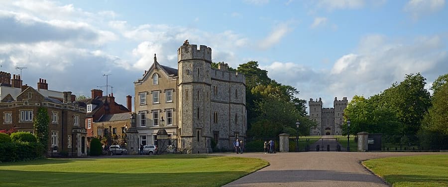
- Castle & Town: 1.0 km from Eton, about 12 min on foot
Reaching Windsor
Informazioni ufficiali sui trasporti
Windsor has two railway stations, both a short walk from the castle: Windsor & Eton Central (trains from Slough, connecting with London Paddington) and Windsor & Eton Riverside (direct trains from London Waterloo). Check the operators for current times and engineering work, especially at weekends.
- Visit Windsor → — official tourism site of the Royal Borough of Windsor and Maidenhead
- GWR: London to Windsor → — trains from Paddington via Slough
- South Western Railway → — direct trains from Waterloo to Windsor & Eton Riverside
- Eton Information Centre → — 67 High Street, Eton, just over the bridge
- Britlens: Windsor day trip from London → — a one-day plan from London
Orari, tariffe e disservizi cambiano: per informazioni in tempo reale consultare le pagine dei gestori qui sopra.
Pianifichi qui il tragitto
Enter your starting point and Google Maps will show routes to Eton. Public transport is selected; change it on the map. Check operator sites for live disruption.
While you are here
Things to see in Eton
A few of the sights in the area. The Things to do page lists them all, with directions and official links.
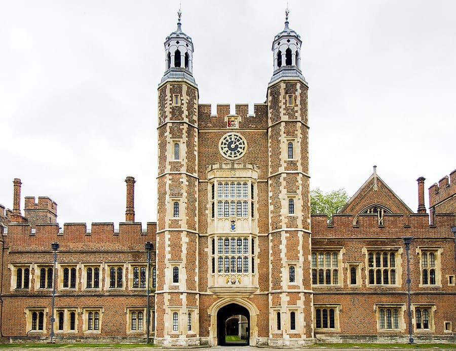
Eton College
Boarding school founded by Henry VI in 1440; Lupton's Tower fronts School Yard. No heritage tours in 2026 because of building works.
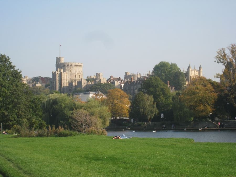
The Brocas
Open meadow on the Eton bank upstream of the bridge, on the Eton Walkway, with a view across the Thames to the castle.
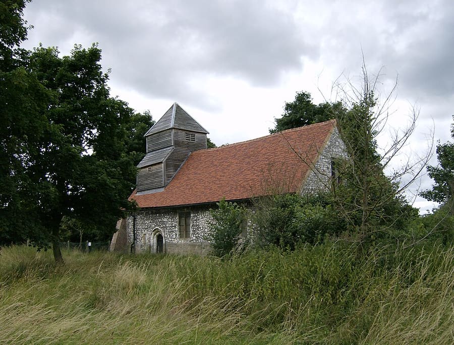
St Mary Magdalene's Church, Boveney
Grade I listed 12th-century flint and chalk chapel on the Thames, built for bargemen; cared for by the Friends of Friendless Churches.
Crediti fotografici
- Windsor Bridge: The original uploader was Wyrdlight at English Wikipedia., CC BY-SA 2.5, source
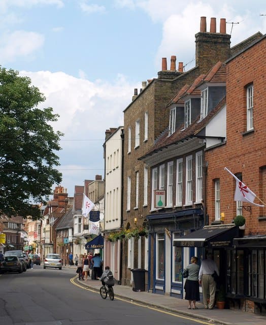
- Eton (area photo): Derek Harper, CC BY-SA 2.0, source
- Eton College: Evka W, CC BY-SA 4.0, source
- The Brocas: Jonathan Thacker, CC BY-SA 2.0, source
- St Mary Magdalene's Church, Boveney: UKgeofan (talk), CC BY-SA 3.0, source
- Castle & Town: Ввласенко, CC BY-SA 3.0, source
Photos from Wikimedia Commons, used under the licences shown. All photo credits
Keep exploring Windsor