 English (UK)
 English (US)
 Français
 Deutsch
 Español
 Italiano
 Nederlands
 简体中文
Un mini-guide de
Stonehenge and Amesbury: getting there
Stops, stations and how to reach Stonehenge and Amesbury
Arrêts et stations
Getting to Stonehenge and Amesbury
Choisissez l'arrêt le plus proche de votre destination.
| Arrêt ou station | Services | Idéal pour |
|---|---|---|
| Stonehenge Tour bus | Salisbury Reds | From Salisbury station and city centre via Old Sarum; English Heritage says hourly from the station forecourt |
| Activ8 and X5 buses | Local buses from Amesbury | The National Trust suggests them for reaching the Stonehenge landscape from Amesbury |
| Salisbury station | South Western Railway | Nearest station; about 12 miles (19 km) to Stonehenge by taxi, according to English Heritage |
Walking from nearby areas
- Salisbury and Old Sarum: 12.1 km from Stonehenge and Amesbury, better by public transport
- Avebury and Marlborough: 27.5 km from Stonehenge and Amesbury, better by public transport
Reaching Salisbury & Stonehenge
Informations officielles sur les transports
Salisbury is the rail hub for this guide, with direct trains from London Waterloo. Stonehenge and Avebury are in open country: use the Stonehenge Tour bus, local buses or a car, and check the operators for current times, fares and disruption.
- Visit Wiltshire (official tourism site) → — Salisbury, Stonehenge, Avebury and Marlborough
- English Heritage: Stonehenge → — Timed tickets, parking and solstice information
- National Trust: Avebury → — Car park, museum, manor and bus routes
- National Rail Enquiries: Salisbury → — Live departures and station facilities
- Connecting Wiltshire → — Bus and rail journey planning across Wiltshire
Les horaires, les tarifs et les perturbations changent : consultez les pages des opérateurs ci-dessus pour des informations en direct.
Planifiez votre trajet ici
Enter your starting point and Google Maps will show routes to Stonehenge and Amesbury. Public transport is selected; change it on the map. Check operator sites for live disruption.
While you are here
Things to see in Stonehenge and Amesbury
A few of the sights in the area. The Things to do page lists them all, with directions and official links.
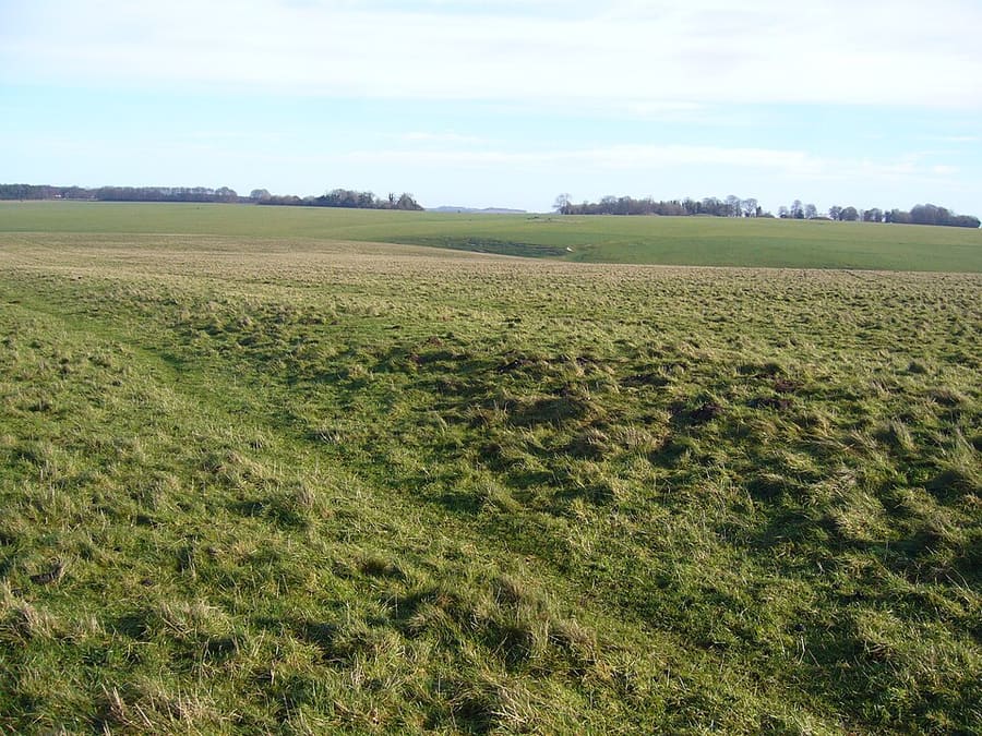
Stonehenge Avenue
Bank-and-ditch avenue nearly 3 km long linking the stones with the River Avon, partly aligned on the midsummer sunrise.
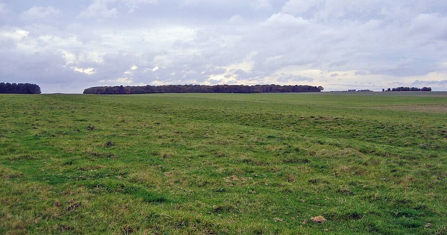
Stonehenge Cursus
Neolithic enclosure about 3 km long, dug between 3630 and 3375 BC, centuries before the first phase of Stonehenge.
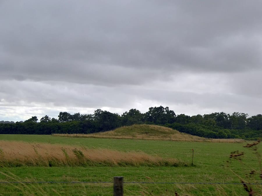
Normanton Down Barrows
Neolithic and Bronze Age cemetery of 40 or more barrows about 1 km south of Stonehenge, including the gold-rich Bush Barrow.
Salisbury & Stonehenge
More areas to explore
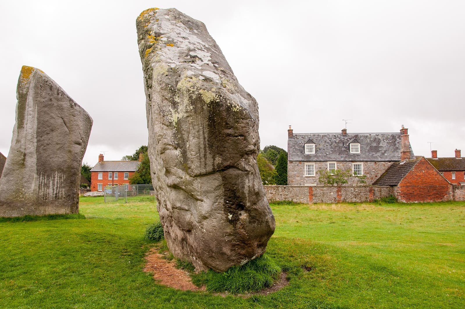
Avebury and Marlborough
The Avebury stone circles, Silbury Hill, West Kennet Long Barrow and the market town of Marlborough
Ouvrir le mini-guide →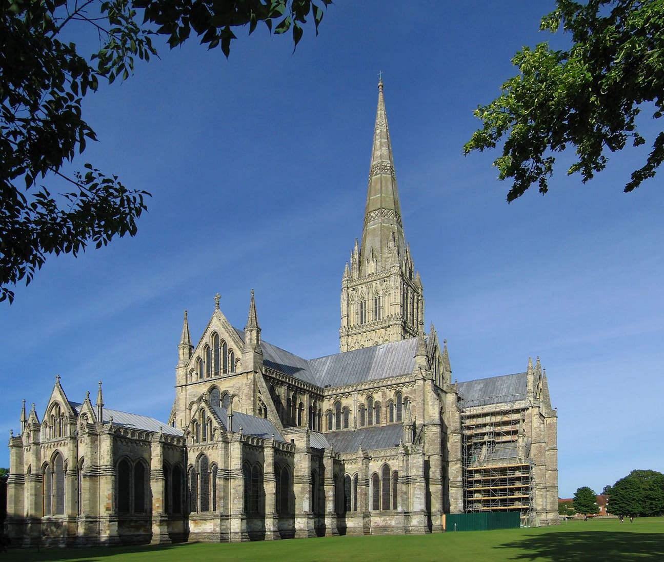
Salisbury and Old Sarum
The cathedral and Magna Carta, the Close, the Market Place and the hillfort of Old Sarum
Ouvrir le mini-guide →Crédits photos
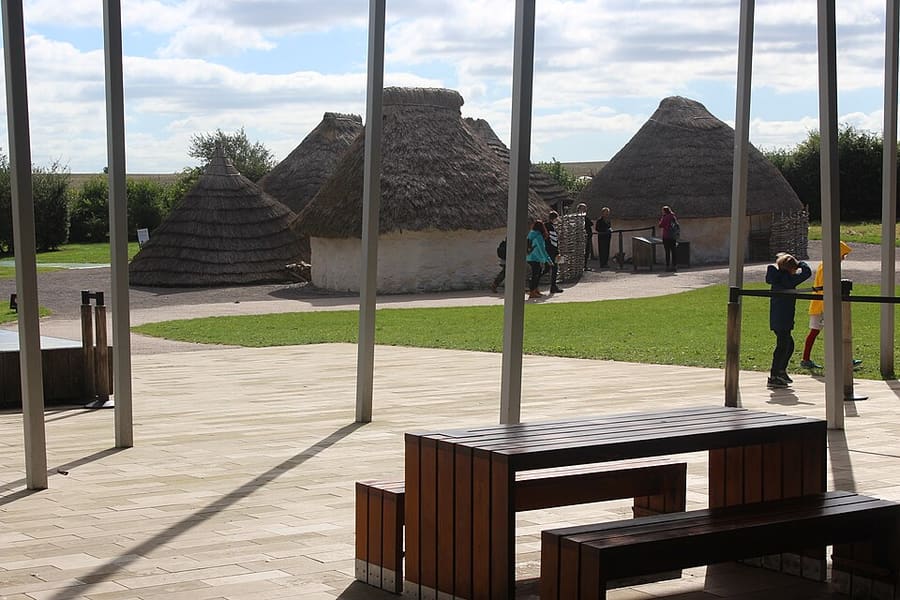
- Stonehenge Visitor Centre: M J Roscoe, CC BY-SA 2.0, source
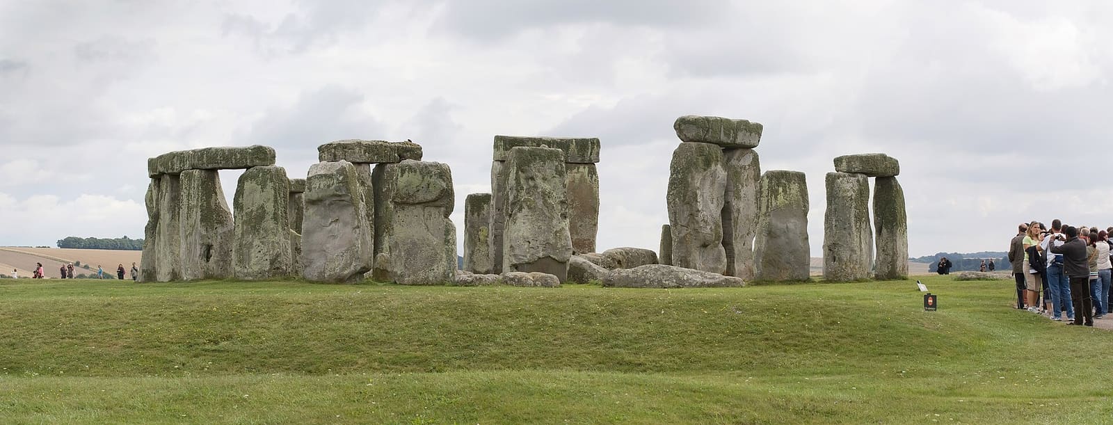
- Stonehenge and Amesbury (area photo): Julie Anne Workman, CC BY-SA 3.0, source
- Stonehenge Avenue: Ashley Columbus, CC BY-SA 3.0, source
- Stonehenge Cursus: Psychostevouk (talk), Public domain, source
- Normanton Down Barrows: David Smith, CC BY-SA 2.0, source
- Avebury and Marlborough: Bo&Ko, CC BY-SA 2.0, source
- Salisbury and Old Sarum: Andrew Dunn (Website: http://www.andrewdunnphoto.com/), CC BY-SA 2.0, source
Photos from Wikimedia Commons, used under the licences shown. All photo credits
Keep exploring Salisbury & Stonehenge