 English (UK)
 English (US)
 Français
 Deutsch
 Español
 Italiano
 Nederlands
 简体中文
Una mini guida a
Stonehenge and Amesbury: getting there
Stops, stations and how to reach Stonehenge and Amesbury
Fermate e stazioni
Getting to Stonehenge and Amesbury
Scegliere la fermata più vicina alla destinazione.
| Fermata o stazione | Servizi | Adatto a |
|---|---|---|
| Stonehenge Tour bus | Salisbury Reds | From Salisbury station and city centre via Old Sarum; English Heritage says hourly from the station forecourt |
| Activ8 and X5 buses | Local buses from Amesbury | The National Trust suggests them for reaching the Stonehenge landscape from Amesbury |
| Salisbury station | South Western Railway | Nearest station; about 12 miles (19 km) to Stonehenge by taxi, according to English Heritage |
Walking from nearby areas
- Salisbury and Old Sarum: 12.1 km from Stonehenge and Amesbury, better by public transport
- Avebury and Marlborough: 27.5 km from Stonehenge and Amesbury, better by public transport
Reaching Salisbury & Stonehenge
Informazioni ufficiali sui trasporti
Salisbury is the rail hub for this guide, with direct trains from London Waterloo. Stonehenge and Avebury are in open country: use the Stonehenge Tour bus, local buses or a car, and check the operators for current times, fares and disruption.
- Visit Wiltshire (official tourism site) → — Salisbury, Stonehenge, Avebury and Marlborough
- English Heritage: Stonehenge → — Timed tickets, parking and solstice information
- National Trust: Avebury → — Car park, museum, manor and bus routes
- National Rail Enquiries: Salisbury → — Live departures and station facilities
- Connecting Wiltshire → — Bus and rail journey planning across Wiltshire
Orari, tariffe e disservizi cambiano: per informazioni in tempo reale consultare le pagine dei gestori qui sopra.
Pianifichi qui il tragitto
Enter your starting point and Google Maps will show routes to Stonehenge and Amesbury. Public transport is selected; change it on the map. Check operator sites for live disruption.
While you are here
Things to see in Stonehenge and Amesbury
A few of the sights in the area. The Things to do page lists them all, with directions and official links.
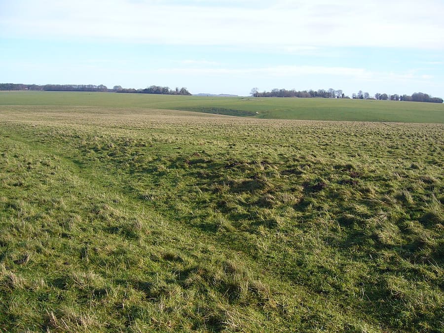
Stonehenge Avenue
Bank-and-ditch avenue nearly 3 km long linking the stones with the River Avon, partly aligned on the midsummer sunrise.
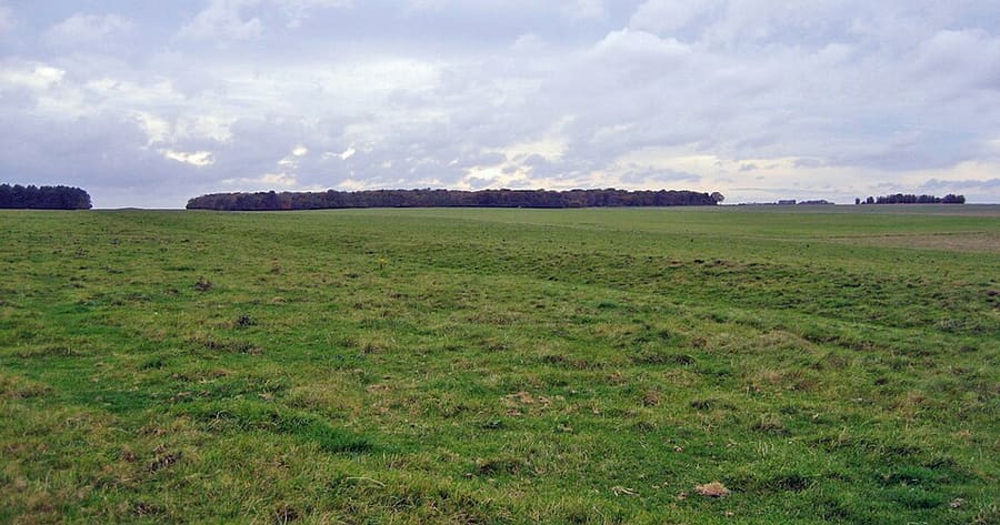
Stonehenge Cursus
Neolithic enclosure about 3 km long, dug between 3630 and 3375 BC, centuries before the first phase of Stonehenge.
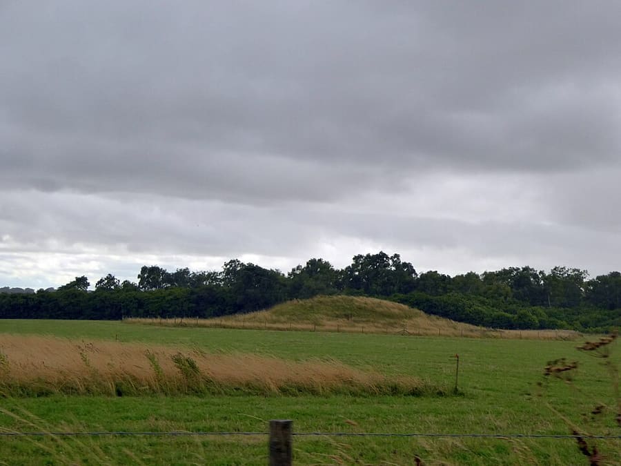
Normanton Down Barrows
Neolithic and Bronze Age cemetery of 40 or more barrows about 1 km south of Stonehenge, including the gold-rich Bush Barrow.
Salisbury & Stonehenge
More areas to explore
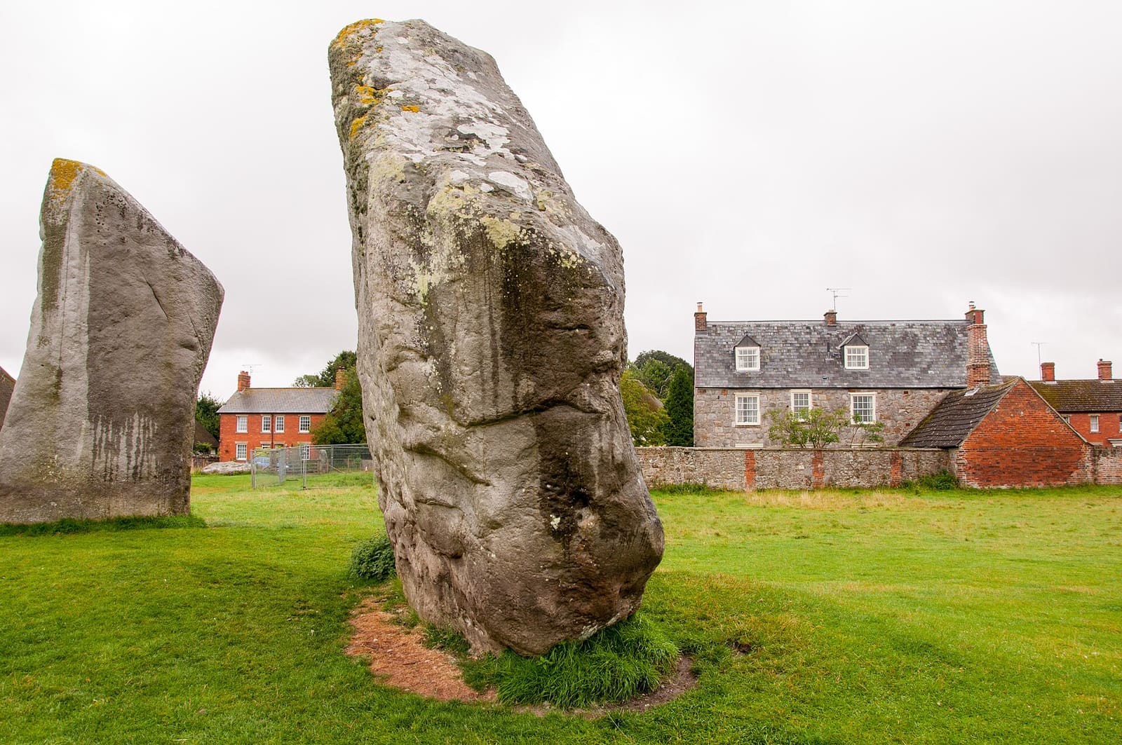
Avebury and Marlborough
The Avebury stone circles, Silbury Hill, West Kennet Long Barrow and the market town of Marlborough
Apri la mini guida →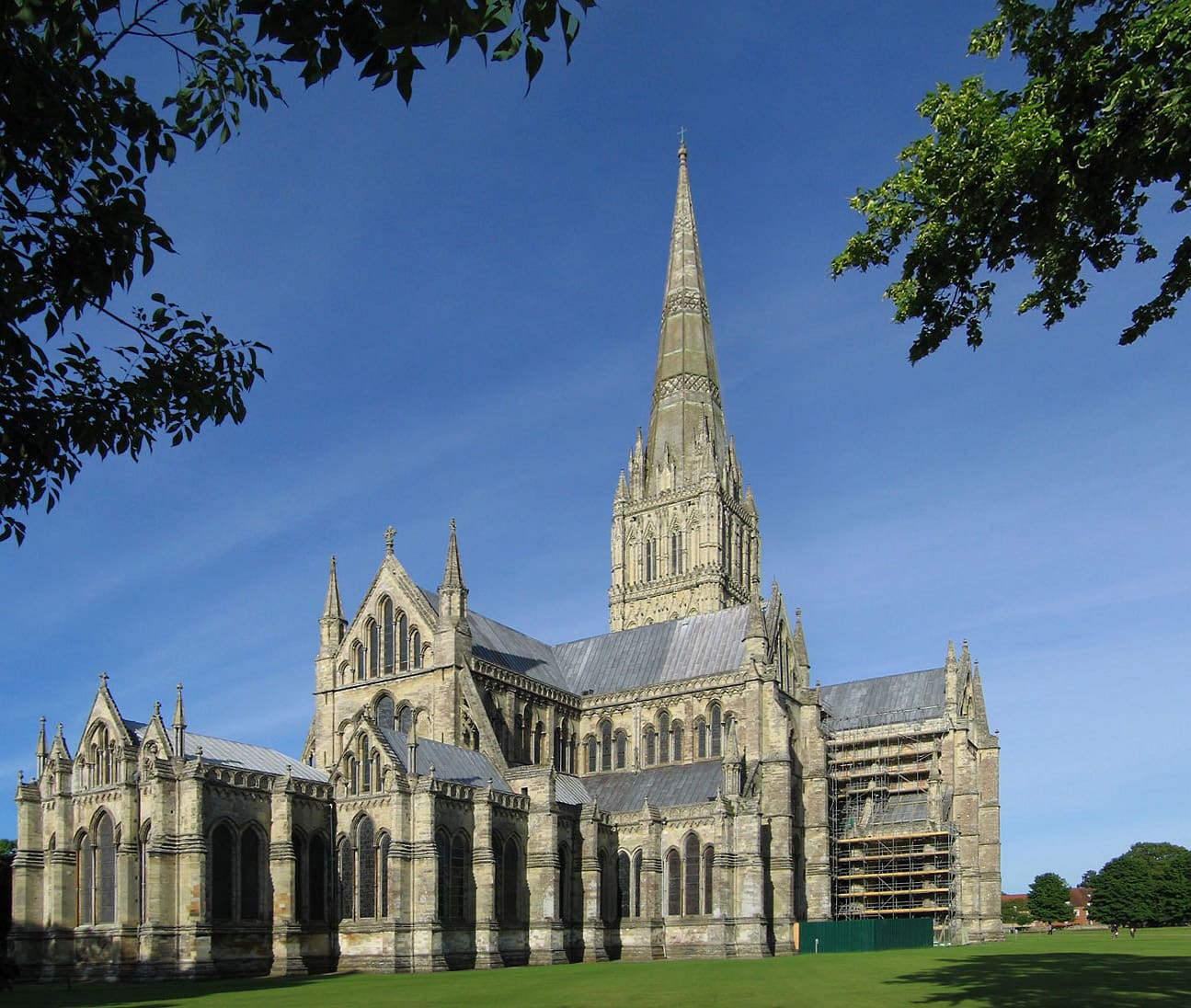
Salisbury and Old Sarum
The cathedral and Magna Carta, the Close, the Market Place and the hillfort of Old Sarum
Apri la mini guida →Crediti fotografici
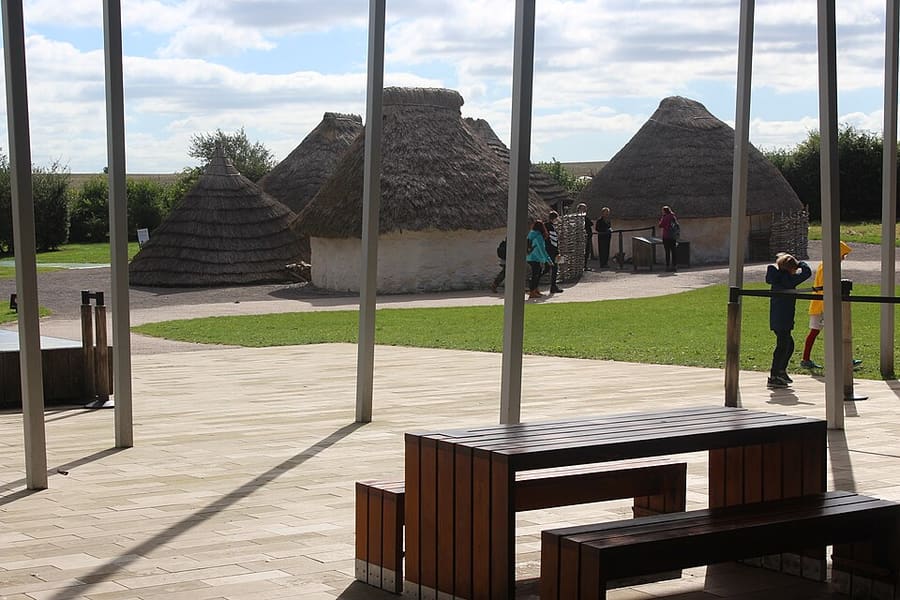
- Stonehenge Visitor Centre: M J Roscoe, CC BY-SA 2.0, source
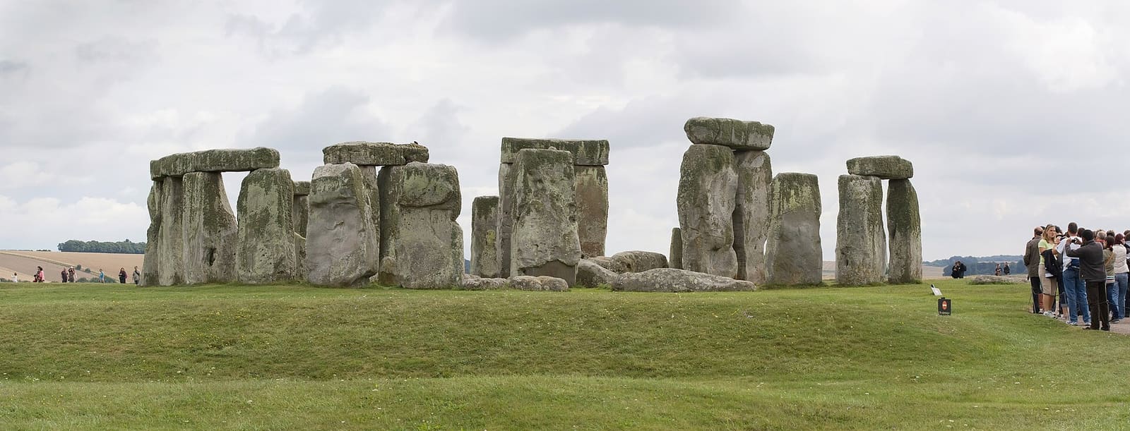
- Stonehenge and Amesbury (area photo): Julie Anne Workman, CC BY-SA 3.0, source
- Stonehenge Avenue: Ashley Columbus, CC BY-SA 3.0, source
- Stonehenge Cursus: Psychostevouk (talk), Public domain, source
- Normanton Down Barrows: David Smith, CC BY-SA 2.0, source
- Avebury and Marlborough: Bo&Ko, CC BY-SA 2.0, source
- Salisbury and Old Sarum: Andrew Dunn (Website: http://www.andrewdunnphoto.com/), CC BY-SA 2.0, source
Photos from Wikimedia Commons, used under the licences shown. All photo credits
Keep exploring Salisbury & Stonehenge