 English (UK)
 English (US)
 Français
 Deutsch
 Español
 Italiano
 Nederlands
 简体中文
Prehistoric monument
Stonehenge
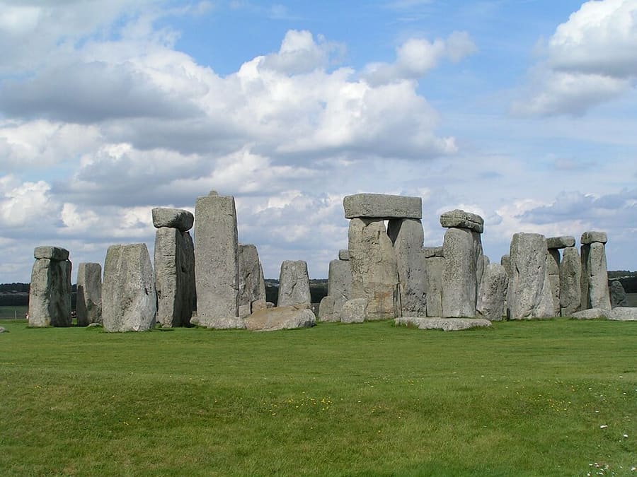
Circle of sarsen and bluestones built in phases from about 3100 BC, aligned on the midsummer sunrise and midwinter sunset.
Una mini guida a
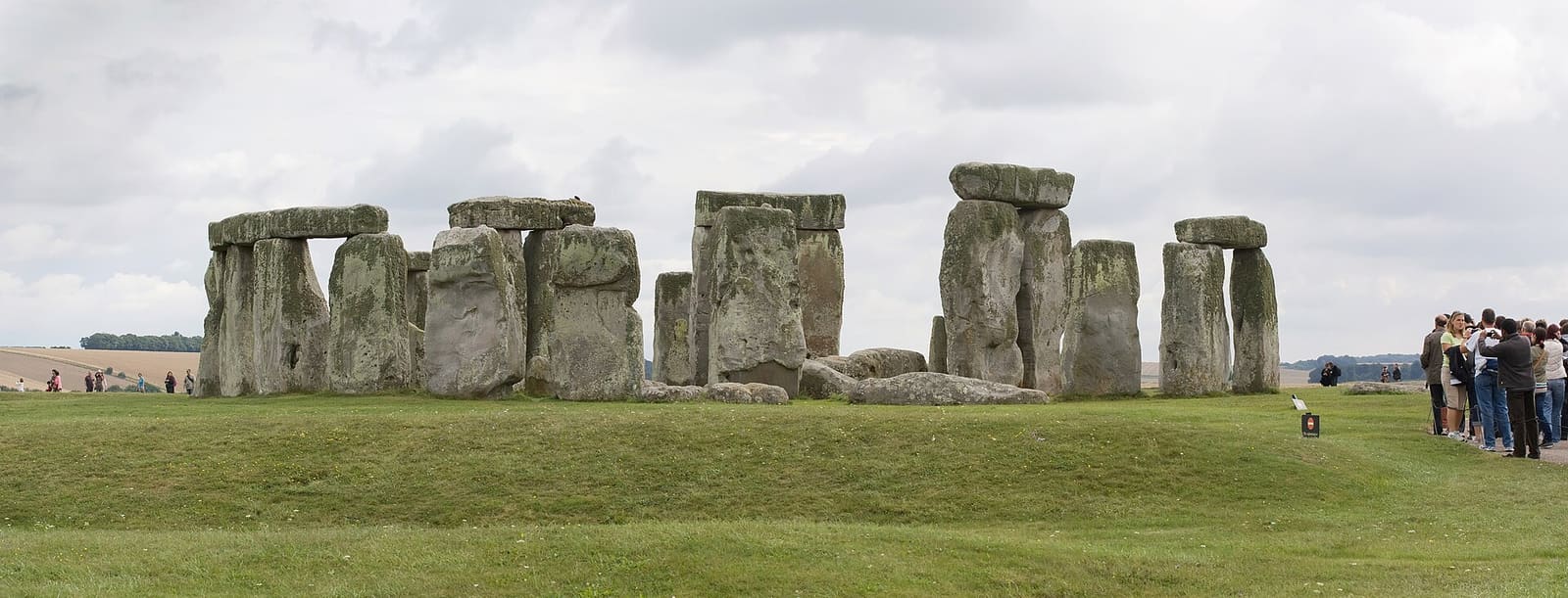
The stones, Woodhenge, Durrington Walls and the barrows of the Stonehenge landscape
 1 / 7
Benvenuti nella zona
Stonehenge stands on Salisbury Plain about 2 miles west of Amesbury. It was built in phases from about 3100 BC, with the great sarsen circle raised between 2600 and 2400 BC, and sits among the densest group of Neolithic and Bronze Age monuments in England, including several hundred burial mounds.
English Heritage runs the stones and the visitor centre to the west of them, with an exhibition, reconstructed Neolithic houses and timed tickets. Around them the National Trust cares for over 800 hectares of chalk grassland, open on foot, with the Cursus, the Avenue and groups of barrows. Amesbury, which claims to be Britain's oldest continuously occupied settlement, has Woodhenge and Durrington Walls on its northern edge.
Da non perdere
Con poche ore a disposizione, questi sono ottimi punti di partenza.
Circle of sarsen and bluestones built in phases from about 3100 BC, aligned on the midsummer sunrise and midwinter sunset.
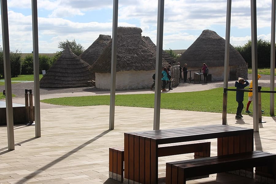
English Heritage exhibition on the builders of Stonehenge, with reconstructed Neolithic houses and a café; tickets cover the stones too.
Indicazioni Sito web Report a problem with Stonehenge Visitor Centre
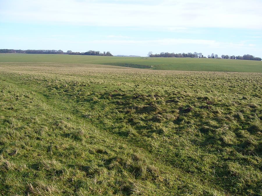
Bank-and-ditch avenue nearly 3 km long linking the stones with the River Avon, partly aligned on the midsummer sunrise.
Indicazioni Sito web Report a problem with Stonehenge Avenue
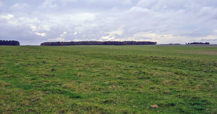
Neolithic enclosure about 3 km long, dug between 3630 and 3375 BC, centuries before the first phase of Stonehenge.
Indicazioni Sito web Report a problem with Stonehenge Cursus
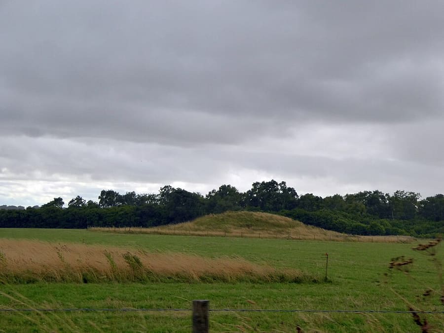
Bronze Age burial mounds among old beech trees east of the stones, with a view across to the circle.
Indicazioni Sito web Report a problem with King Barrow Ridge
Group of 17 burial mounds west of Stonehenge that includes every style of barrow found in southern England.
Indicazioni Sito web Report a problem with Winterbourne Stoke Barrow Cemetery
Come orientarsi
The map shows Stonehenge and Amesbury and the streets around it. The Getting there page lists nearby stops and stations.
Consigli da insider
English Heritage's online price applies until midnight the day before your visit; tickets bought on the day cost more. Tickets are valid all day.
Drivers must book parking in advance. English Heritage warns that cars left on the A303 or nearby roads will be towed.
English Heritage members enter free, and National Trust (England) members can book free tickets with the code given on the English Heritage site.
The National Trust puts Stonehenge Down about 2 miles from Amesbury along byways and bridleways, and Durrington Walls about 1.5 miles.
Consigli della redazione di Britlens
Esplora questa guida
Salisbury & Stonehenge
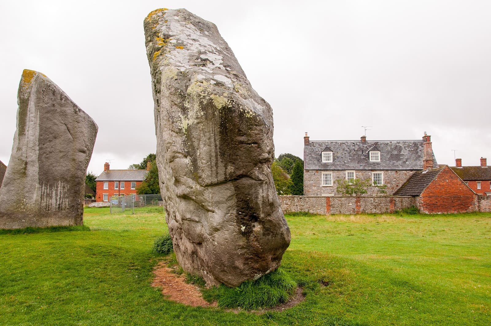
The Avebury stone circles, Silbury Hill, West Kennet Long Barrow and the market town of Marlborough
Apri la mini guida →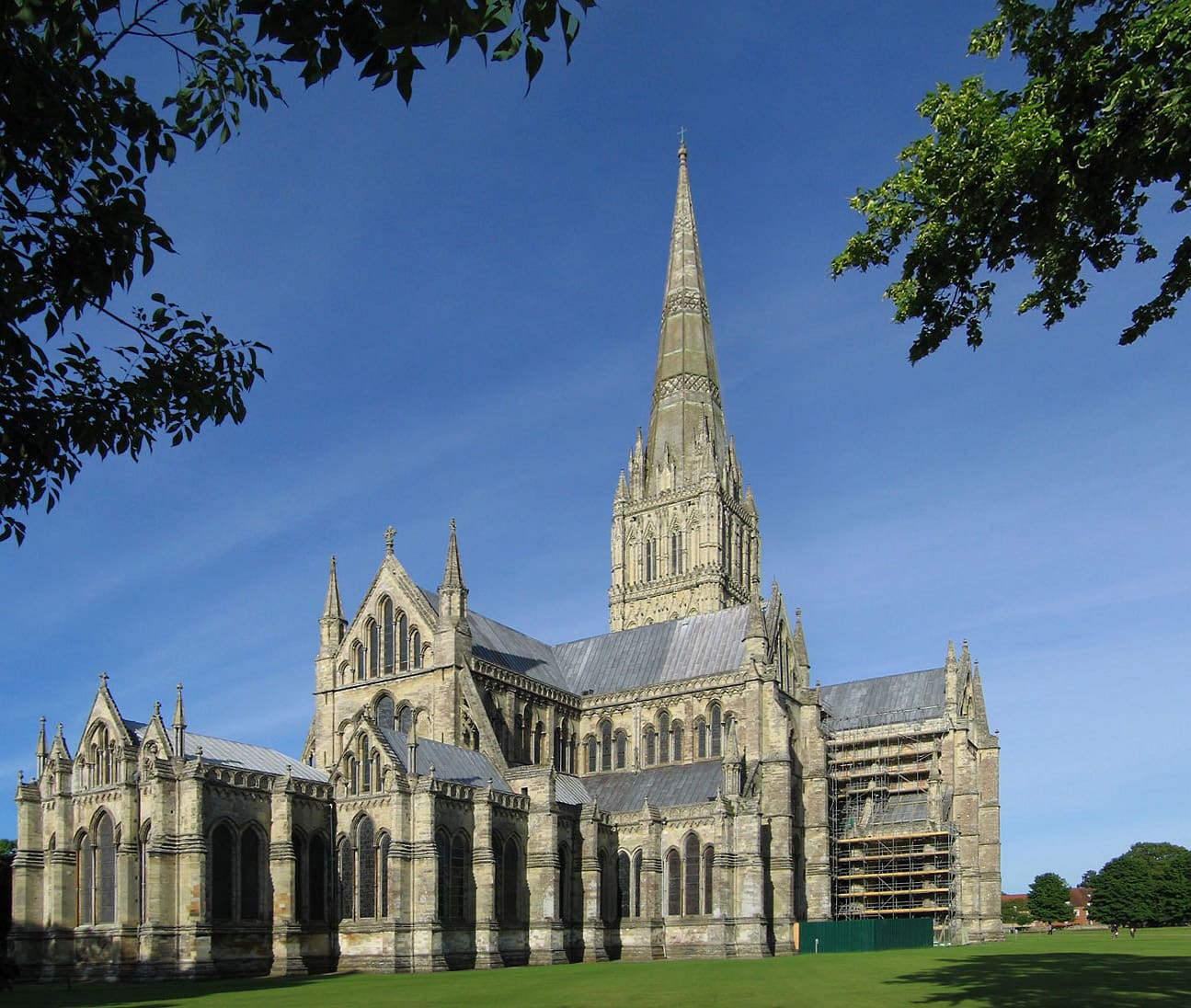
The cathedral and Magna Carta, the Close, the Market Place and the hillfort of Old Sarum
Apri la mini guida →Photos from Wikimedia Commons, used under the licences shown. All photo credits
Keep exploring Salisbury & Stonehenge