 English (UK)
 English (US)
 Français
 Deutsch
 Español
 Italiano
 Nederlands
 简体中文
Un mini-guide de
Piccadilly, Chinatown & the Village : comment s'y rendre
Arrêts, gares et comment s'y rendre : Piccadilly, Chinatown & the Village
Arrêts et stations
Se rendre à Piccadilly, Chinatown & the Village
Choisissez l'arrêt le plus proche de votre destination.
| Arrêt ou station | Services | Idéal pour |
|---|---|---|
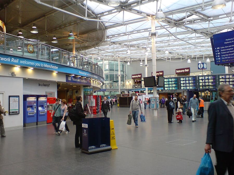
| Piccadilly | National Rail et Metrolink | Gare principale de la ville et arrêt de tram |
| Piccadilly Gardens | Metrolink et bus du Bee Network | Pôle d'échange tram et bus à côté des jardins |
| Market Street | Metrolink | Arrêt de tram à quelques minutes à pied de Chinatown |
| St Peter's Square | Metrolink | Arrêt de tram pour Mosley Street et l'hôtel de ville |
Within walking range
Stations near Piccadilly, Chinatown & the Village
Stations and stops mapped in OpenStreetMap within 2.5 km of the centre of Piccadilly, Chinatown & the Village, nearest first. Distances are straight lines; walking times assume 5 km/h and are a minimum.
| Station or stop | Type | Distance | À pied |
|---|---|---|---|
| Mosley Street | Tram stop | 300 m | about 4 min |
| Manchester Oxford Road | Rail station (Northern Trains) | 500 m | about 6 min |
Station data: © OpenStreetMap contributors (ODbL), read 25 October 2026. Check step-free access with the operator before you travel.
Walking from nearby areas
- Spinningfields & Deansgate: 700 m from Piccadilly, Chinatown & the Village, about 9 min on foot
- Northern Quarter & Cathedral: 700 m from Piccadilly, Chinatown & the Village, about 9 min on foot
- Castlefield & the Canals: 1000 m from Piccadilly, Chinatown & the Village, about 12 min on foot
- Ancoats & New Islington: 1000 m from Piccadilly, Chinatown & the Village, about 12 min on foot
Rejoindre Manchester
Informations officielles sur les transports
Manchester possède un aéroport international au sud du centre, quatre grandes gares ferroviaires et une gare routière près de Piccadilly Gardens. Vérifiez toujours auprès de l’opérateur les horaires, les tarifs et les perturbations en cours.
- Visit Manchester → — le site officiel pour les visiteurs de la ville
- Manchester Airport : de et vers l’aéroport → — train, tram, bus et taxi
- Bee Network (TfGM) → — calculateur d’itinéraire, informations sur le trafic, billets
- Bee Network : tram → — lignes du Metrolink et travaux prévus
- Bee Network : paiement sans contact dans les bus et tramways → — comment ça marche, avec plafonds quotidiens et hebdomadaires
- Bee Network : bus → — lignes et billets
- Bee Network : voyager en accessibilité → — aide pour voyager
- National Rail Enquiries → — horaires et tarifs des trains
- Avanti West Coast → — London Euston et la West Coast
- TransPennine Express → — trains vers le nord et à travers les Pennines
- Northern → — trains régionaux
- Manchester City Council → — informations locales
Les horaires, les tarifs et les perturbations changent : consultez les pages des opérateurs ci-dessus pour des informations en direct.
Planifiez votre trajet ici
Indiquez votre point de départ et Google Maps affichera les itinéraires vers Piccadilly, Chinatown & the Village. Les transports en commun sont sélectionnés ; vous pouvez changer de mode sur la carte. Consultez les sites des opérateurs pour connaître les perturbations en direct.
While you are here
Things to see in Piccadilly, Chinatown & the Village
A few of the sights in the area. The Things to do page lists them all, with directions and official links.
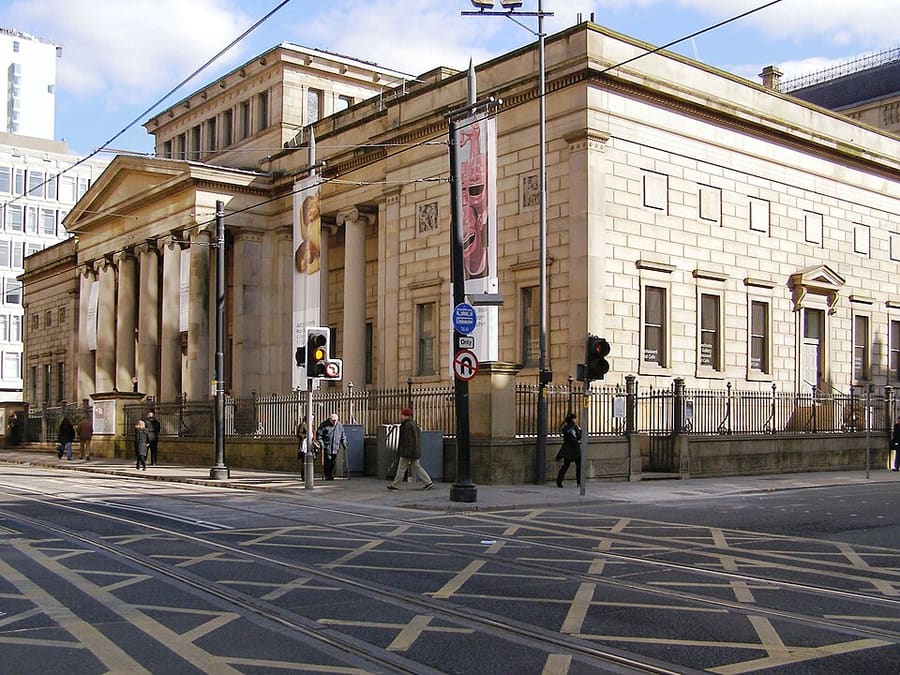
Manchester Art Gallery
Galerie d'art publique sur Mosley Street, répartie sur trois bâtiments reliés, dont deux conçus par Sir Charles Barry.
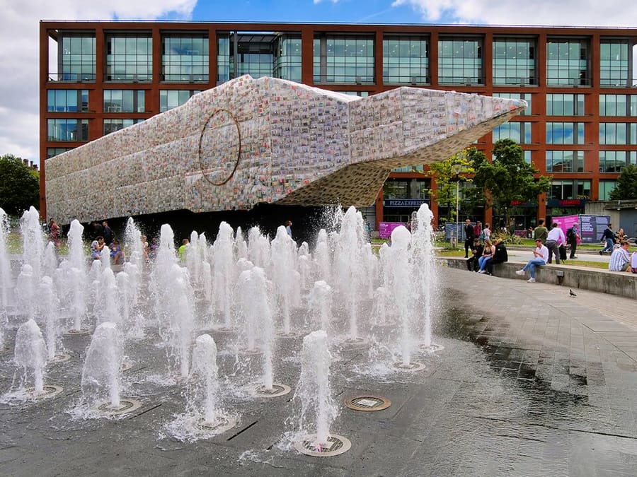
Piccadilly Gardens
Espace vert du centre-ville, en bordure du Northern Quarter, à côté du pôle d'échange tram et bus.
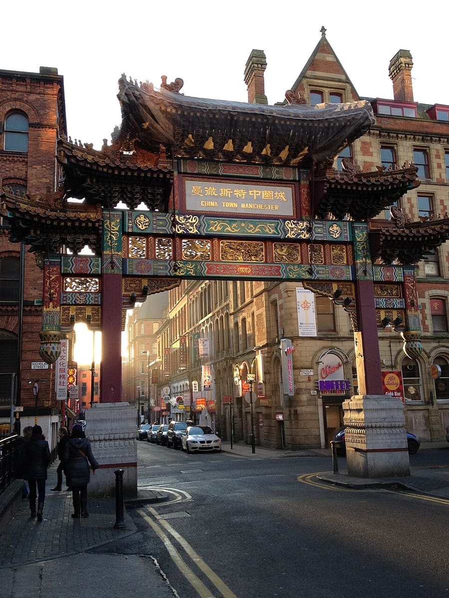
Chinatown and the Imperial Arch
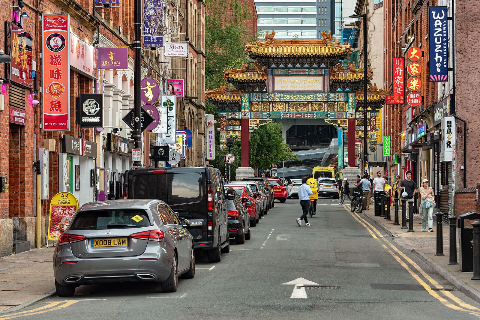
Chinatown possède une arche achevée en 1987 sur Faulkner Street, avec des restaurants chinois, japonais, coréens, thaïlandais et vietnamiens à proximité.
Manchester
More areas to explore
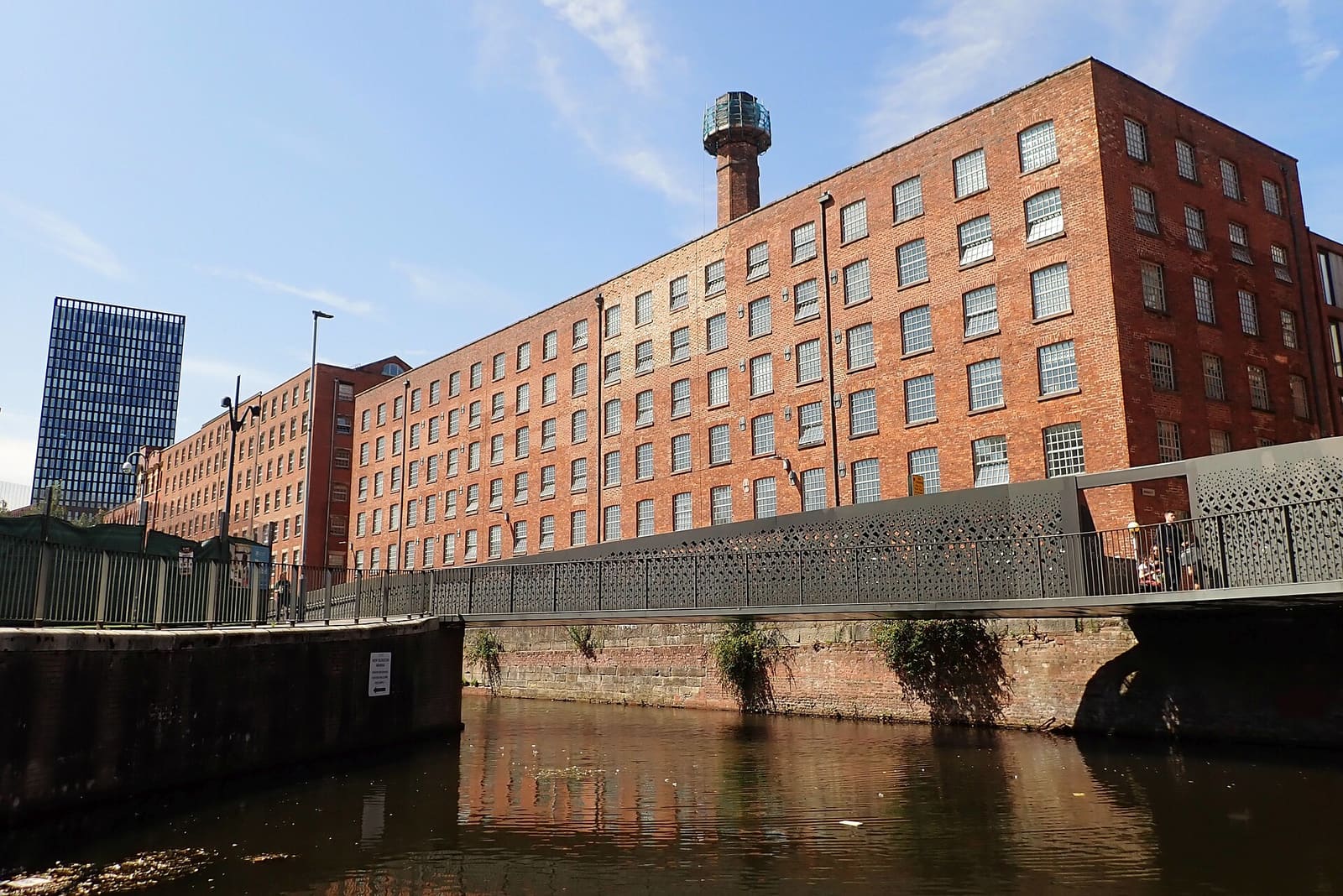
Ancoats & New Islington
Premières filatures de coton, canaux et quartier riverain réaménagé
Ouvrir le mini-guide →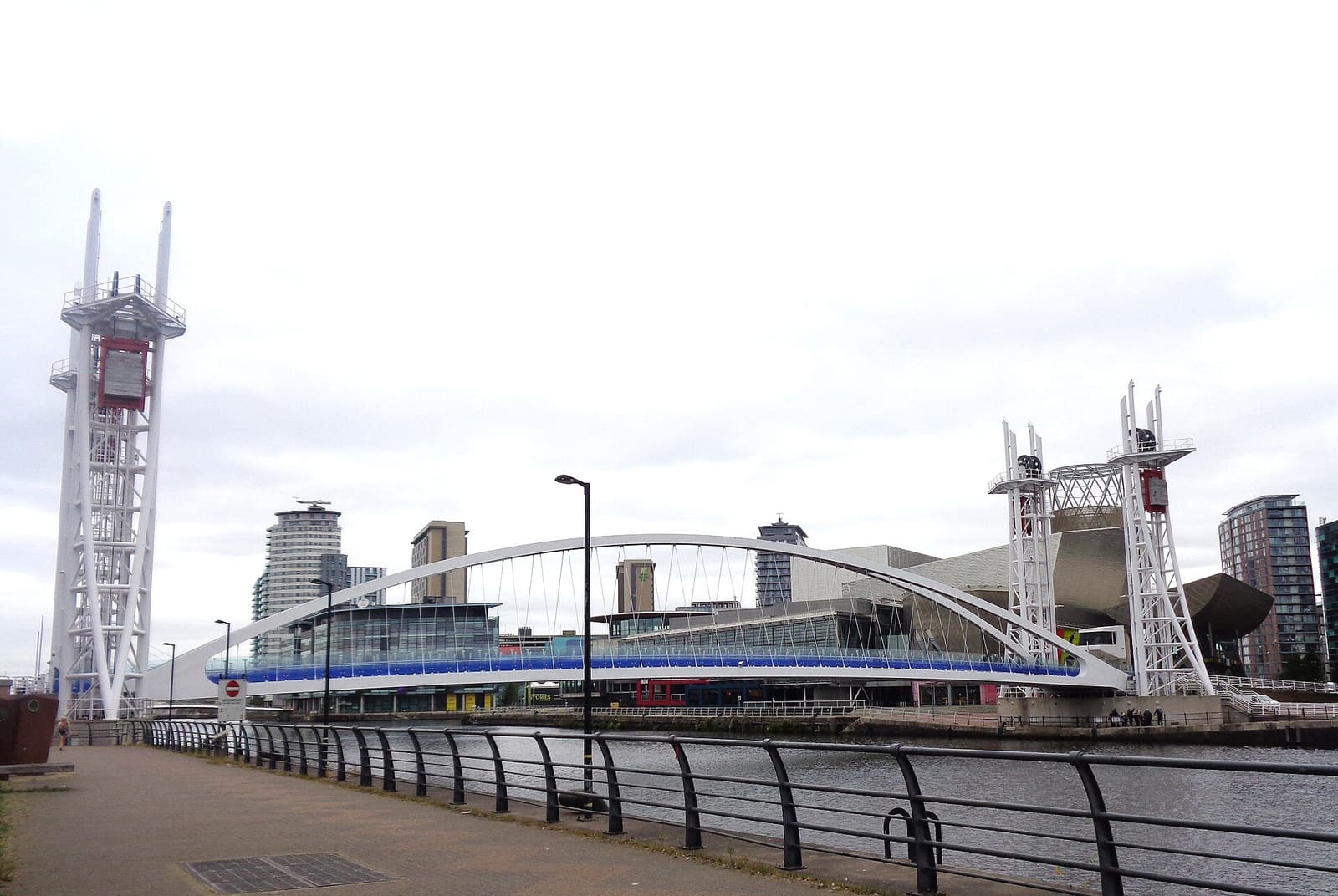
Salford Quays & MediaCity
Arts, musées et cité des médias des Docklands, à Salford (ville distincte de Manchester)
Ouvrir le mini-guide →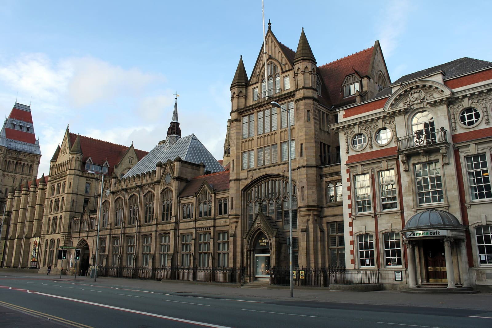
Oxford Road & Rusholme
Universités, galeries et Curry Mile le long d’une longue avenue au sud du centre
Ouvrir le mini-guide →Crédits photos
- Manchester Piccadilly station: Tyw7, CC BY-SA 3.0, source
- Piccadilly, Chinatown & the Village (area photo): Jorge Franganillo, CC BY 4.0, source
- Manchester Art Gallery: David Dixon, CC BY-SA 2.0, source
- Piccadilly Gardens: David Dixon, CC BY-SA 2.0, source
- Chinatown and the Imperial Arch: Delusion23, CC BY-SA 3.0, source
- Ancoats & New Islington: DS Pugh, CC BY-SA 2.0, source
- Salford Quays & MediaCity: Rosser1954, CC BY 4.0, source
- Oxford Road & Rusholme: DrPhoenix, CC BY-SA 3.0, source
- Chorlton & Didsbury: Wikidwitch, CC BY-SA 3.0, source
- Altrincham & Sale: Parrot of Doom, CC BY-SA 3.0, source
- Northern Quarter & Cathedral: Anthony Parkes, CC BY-SA 2.0, source
- Spinningfields & Deansgate: Anthony O'Neil, CC BY-SA 2.0, source
- Castlefield & the Canals: Ridiculopathy, CC0, source
Photos from Wikimedia Commons, used under the licences shown. All photo credits
Continuer à explorer Manchester