 English (UK)
 English (US)
 Français
 Deutsch
 Español
 Italiano
 Nederlands
 简体中文
Una miniguía de
Piccadilly, Chinatown & the Village: cómo llegar
Paradas, estaciones y cómo llegar a Piccadilly, Chinatown & the Village
Paradas y estaciones
Cómo llegar a Piccadilly, Chinatown & the Village
Elija la parada más cercana a su destino.
| Parada o estación | Servicios | Ideal para |
|---|---|---|
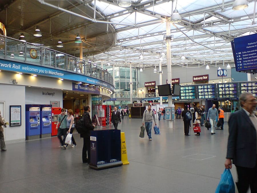
| Piccadilly | National Rail y Metrolink | La principal estación de ferrocarril de la ciudad y una parada de tranvía |
| Piccadilly Gardens | Metrolink y autobuses de Bee Network | Intercambiador de tranvía y autobús junto a los jardines |
| Market Street | Metrolink | Parada de tranvía a pocos minutos a pie de Chinatown |
| St Peter's Square | Metrolink | Parada de tranvía para Mosley Street y el Town Hall |
Within walking range
Stations near Piccadilly, Chinatown & the Village
Stations and stops mapped in OpenStreetMap within 2.5 km of the centre of Piccadilly, Chinatown & the Village, nearest first. Distances are straight lines; walking times assume 5 km/h and are a minimum.
| Station or stop | Tipo | Distancia | A pie |
|---|---|---|---|
| Mosley Street | Tram stop | 300 m | about 4 min |
| Manchester Oxford Road | Rail station (Northern Trains) | 500 m | about 6 min |
Station data: © OpenStreetMap contributors (ODbL), read 25 October 2026. Check step-free access with the operator before you travel.
Walking from nearby areas
- Spinningfields & Deansgate: 700 m from Piccadilly, Chinatown & the Village, about 9 min on foot
- Northern Quarter & Cathedral: 700 m from Piccadilly, Chinatown & the Village, about 9 min on foot
- Castlefield & the Canals: 1000 m from Piccadilly, Chinatown & the Village, about 12 min on foot
- Ancoats & New Islington: 1000 m from Piccadilly, Chinatown & the Village, about 12 min on foot
Cómo llegar a Manchester
Información oficial de viajes
Manchester tiene un aeropuerto internacional al sur del centro, cuatro estaciones de tren principales y una estación de autocares cerca de Piccadilly Gardens. Consulte siempre con el operador los horarios, tarifas e incidencias actuales.
- Visit Manchester → — el sitio oficial de visitantes de la ciudad
- Manchester Airport: de y hacia el aeropuerto → — tren, tranvía, autobús y taxi
- Bee Network (TfGM) → — planificador de viajes, información de servicio y billetes
- Bee Network: tranvía → — rutas de Metrolink y obras programadas
- Bee Network: sin contacto en autobús y tranvía → — cómo funciona el pago con tarjeta, con límites diarios y semanales
- Bee Network: autobús → — rutas y billetes
- Bee Network: viajar con accesibilidad → — ayuda para desplazarse
- National Rail Enquiries → — horarios y tarifas de trenes
- Avanti West Coast → — London Euston y la West Coast
- TransPennine Express → — trenes hacia el norte y a través de los Peninos
- Northern → — trenes regionales
- Manchester City Council → — información local
Los horarios, tarifas e incidencias cambian: consulte las páginas de los operadores indicadas arriba para información en directo.
Planifique aquí su trayecto
Indique su punto de partida y Google Maps le mostrará rutas a Piccadilly, Chinatown & the Village. Está seleccionado el transporte público; puede cambiarlo en el mapa. Consulte las webs de los operadores para ver incidencias en directo.
While you are here
Things to see in Piccadilly, Chinatown & the Village
A few of the sights in the area. The Things to do page lists them all, with directions and official links.
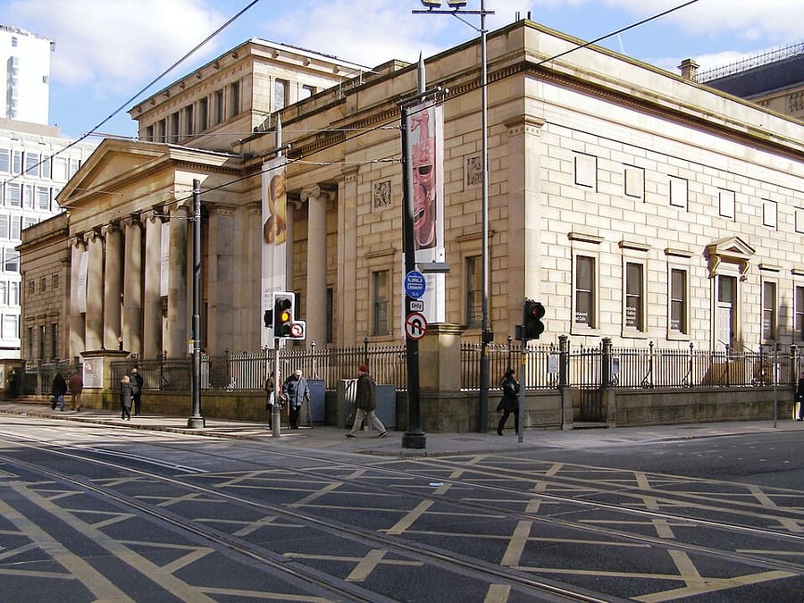
Manchester Art Gallery
Galería de arte pública en Mosley Street, repartida en tres edificios conectados, dos de ellos diseñados por Sir Charles Barry.
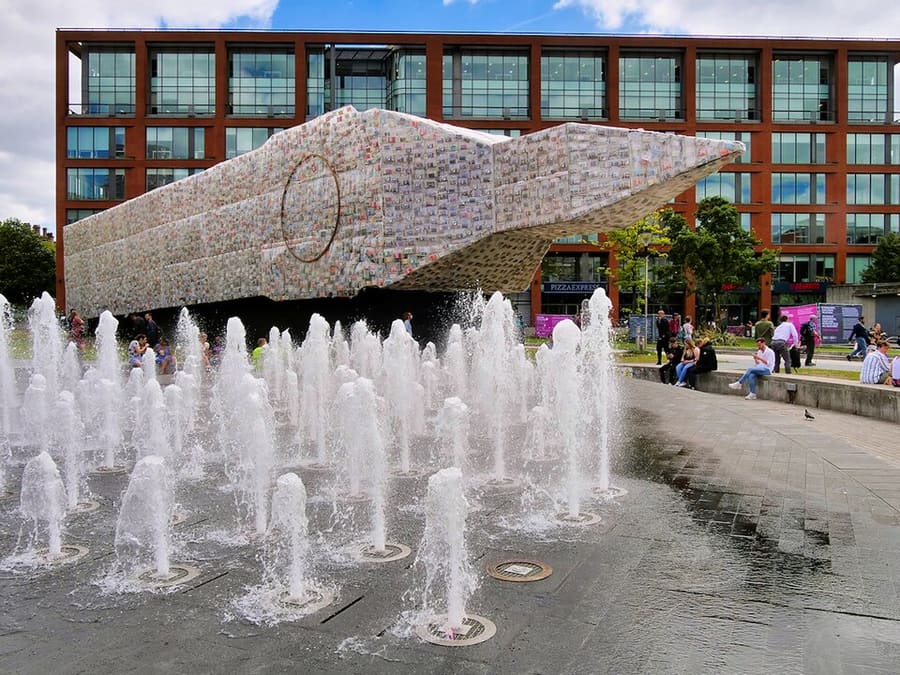
Piccadilly Gardens
Espacio verde en el centro de la ciudad, en el borde del Northern Quarter, junto al intercambiador de tranvía y autobús.
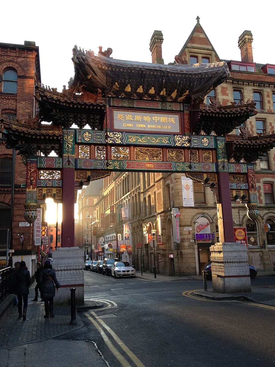
Chinatown and the Imperial Arch
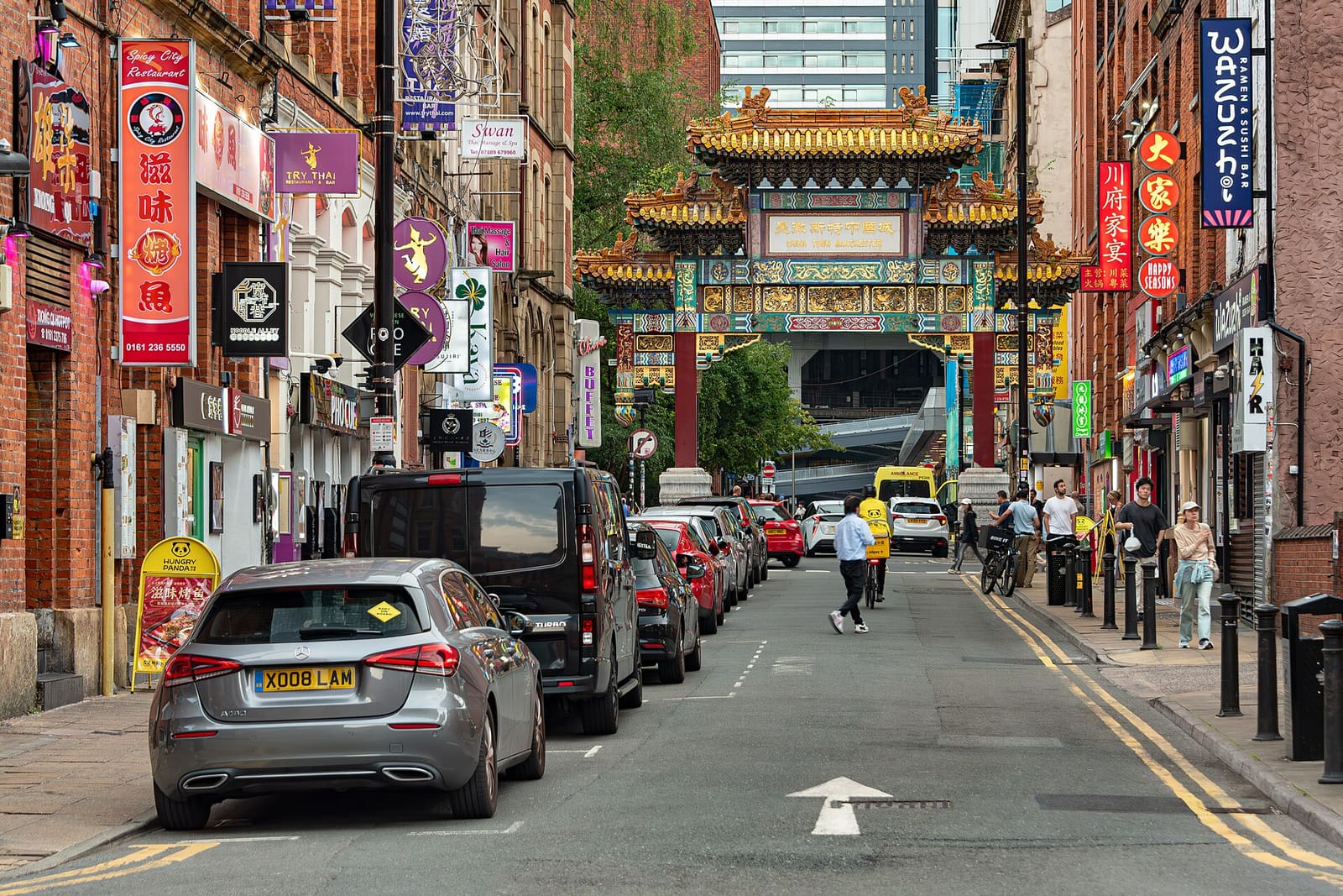
Chinatown tiene un arco terminado en 1987 en Faulkner Street, con restaurantes chinos, japoneses, coreanos, tailandeses y vietnamitas cerca.
Manchester
More areas to explore
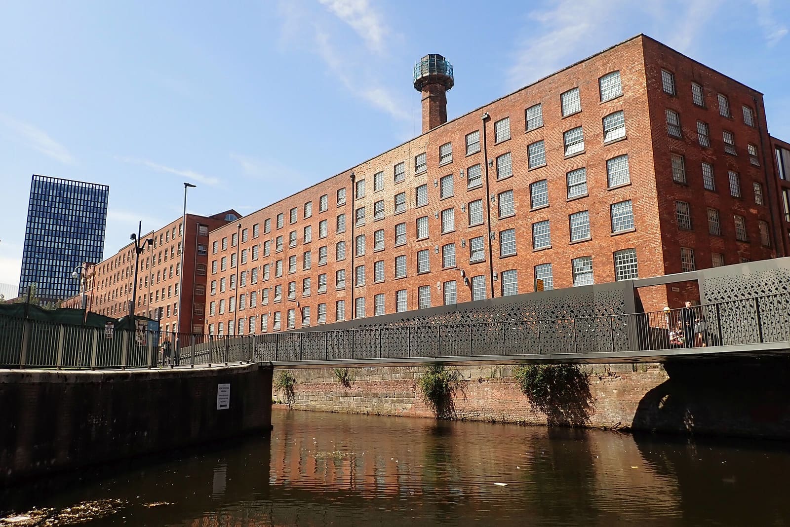
Ancoats & New Islington
Antiguas fábricas de algodón, canales y un barrio ribereño rehabilitado
Abrir la miniguía →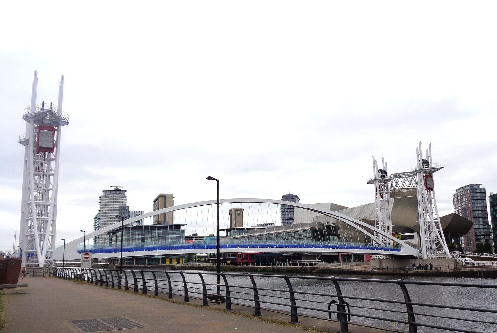
Salford Quays & MediaCity
Arte, museos y ciudad de los medios en los antiguos muelles, en Salford (una ciudad distinta de Manchester)
Abrir la miniguía →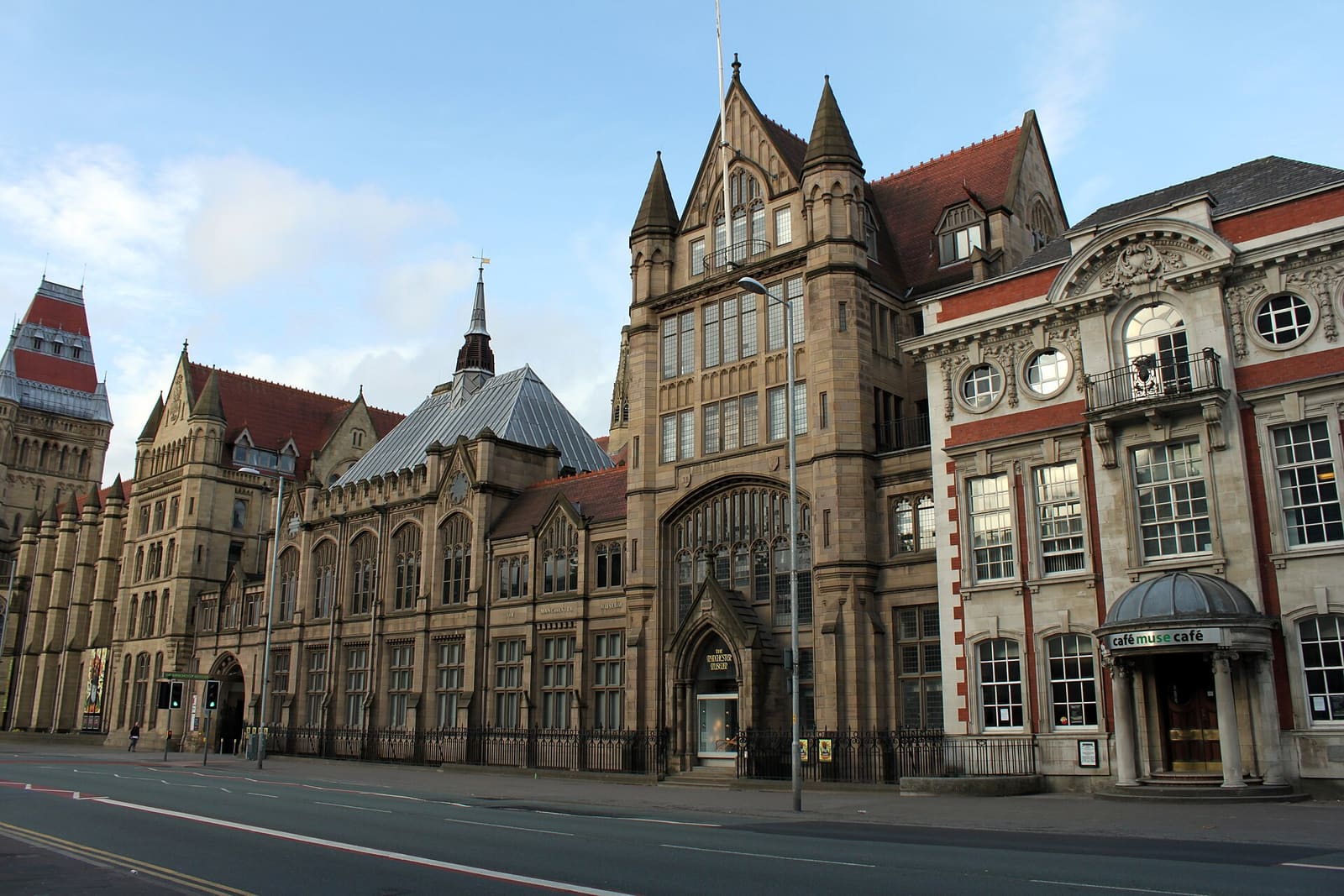
Oxford Road & Rusholme
Universidades, galerías y la Curry Mile a lo largo de una calle larga al sur del centro
Abrir la miniguía →Créditos fotográficos
- Manchester Piccadilly station: Tyw7, CC BY-SA 3.0, source
- Piccadilly, Chinatown & the Village (area photo): Jorge Franganillo, CC BY 4.0, source
- Manchester Art Gallery: David Dixon, CC BY-SA 2.0, source
- Piccadilly Gardens: David Dixon, CC BY-SA 2.0, source
- Chinatown and the Imperial Arch: Delusion23, CC BY-SA 3.0, source
- Ancoats & New Islington: DS Pugh, CC BY-SA 2.0, source
- Salford Quays & MediaCity: Rosser1954, CC BY 4.0, source
- Oxford Road & Rusholme: DrPhoenix, CC BY-SA 3.0, source
- Chorlton & Didsbury: Wikidwitch, CC BY-SA 3.0, source
- Altrincham & Sale: Parrot of Doom, CC BY-SA 3.0, source
- Northern Quarter & Cathedral: Anthony Parkes, CC BY-SA 2.0, source
- Spinningfields & Deansgate: Anthony O'Neil, CC BY-SA 2.0, source
- Castlefield & the Canals: Ridiculopathy, CC0, source
Photos from Wikimedia Commons, used under the licences shown. All photo credits
Siga explorando Manchester