 English (UK)
 English (US)
 Français
 Deutsch
 Español
 Italiano
 Nederlands
 简体中文
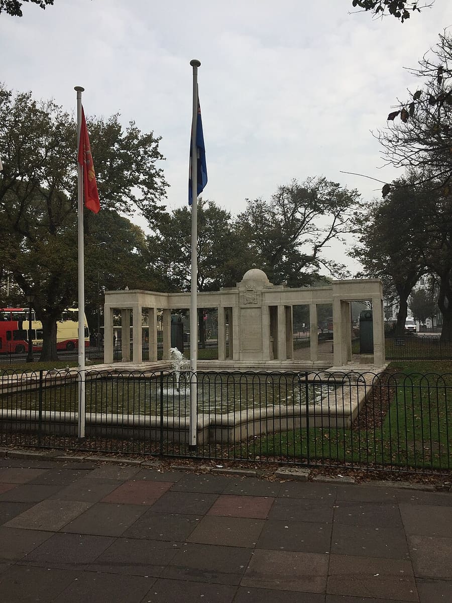
Un mini-guide de
The Lanes & seafront: getting there
Stops, stations and how to reach The Lanes & seafront
Arrêts et stations
Getting to The Lanes & seafront
Choisissez l'arrêt le plus proche de votre destination.
| Arrêt ou station | Services | Idéal pour |
|---|---|---|
| Brighton station | Station managed by Southern | On Queens Road; step-free access to all platforms, according to National Rail |
| Brighton & Hove Buses | City bus network | All buses have disabled access, according to Visit Brighton; many routes stop on the Old Steine |
Within walking range
Stations near The Lanes & seafront
Stations and stops mapped in OpenStreetMap within 2.5 km of the centre of The Lanes & seafront, nearest first. Distances are straight lines; walking times assume 5 km/h and are a minimum.
| Station or stop | Type | Distance | À pied |
|---|---|---|---|
| Pool Valley Coach Station | Bus or coach station | 300 m | about 3 min |
| Aquarium | Station | 600 m | about 8 min |
| Brighton | Rail station (Govia Thameslink Railway (Southern)) | 900 m | about 11 min |
| Halfway | Station | 1.5 km | about 18 min |
| London Road (Brighton) | Rail station (Govia Thameslink Railway (Southern)) | 1.8 km | about 22 min |
| Black Rock | Station | 2.2 km | about 27 min |
Station data: © OpenStreetMap contributors (ODbL), read 3 November 2026. Check step-free access with the operator before you travel.
Walking from nearby areas
- North Laine & the Royal Pavilion: 600 m from The Lanes & seafront, about 7 min on foot
- Kemptown: 1.2 km from The Lanes & seafront, about 14 min on foot
- Hove: 2.1 km from The Lanes & seafront, about 25 min on foot
Reaching Brighton & Hove
Informations officielles sur les transports
Brighton has a mainline railway station a short walk from the sea, and Gatwick is the nearest airport. Always check the operators for current times, fares and disruption.
- Visit Brighton: plan your visit → — trains, Gatwick, ferries and getting around
- National Rail: Brighton station → — station facilities and step-free access
- National Rail: Hove station → — station facilities and step-free access
- Brighton & Hove Buses → — city bus routes, times and tickets
Les horaires, les tarifs et les perturbations changent : consultez les pages des opérateurs ci-dessus pour des informations en direct.
Planifiez votre trajet ici
Enter your starting point and Google Maps will show routes to The Lanes & seafront. Public transport is selected; change it on the map. Check operator sites for live disruption.
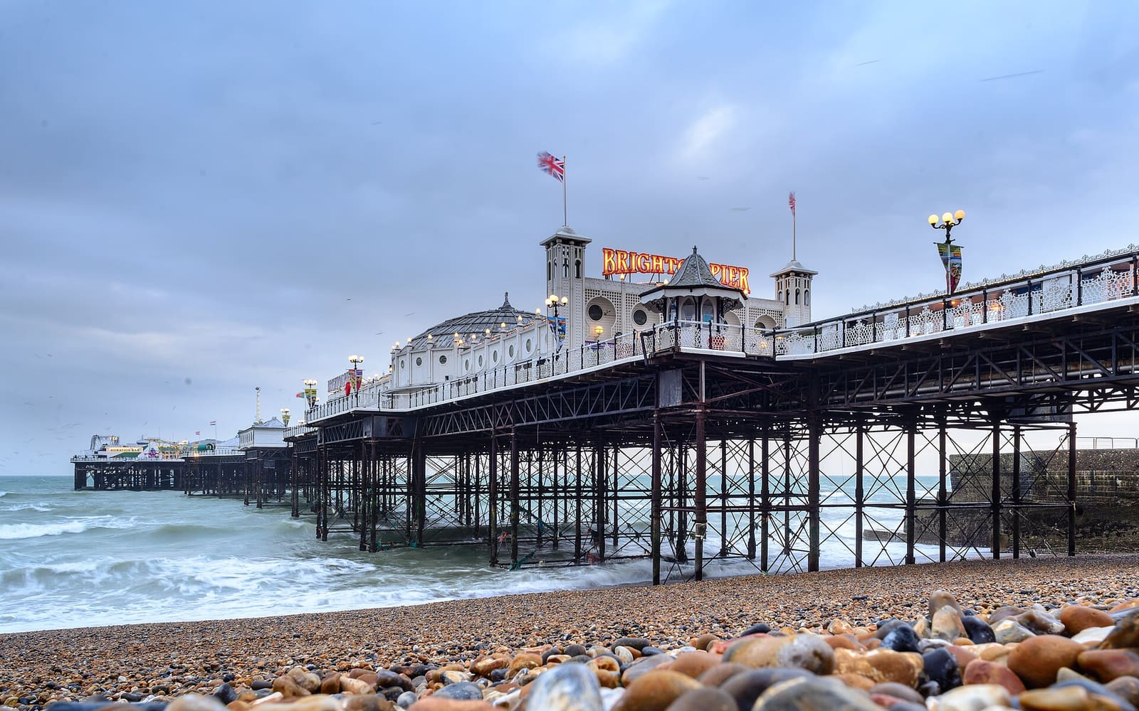
While you are here
Things to see in The Lanes & seafront
A few of the sights in the area. The Things to do page lists them all, with directions and official links.
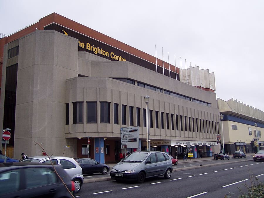
Brighton Centre
Conference and exhibition centre on King's Road, used for national party conferences and also for concerts.
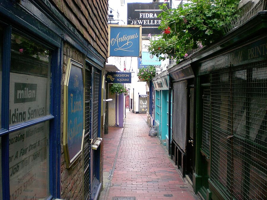
The Lanes
Narrow alleys of small shops, many selling antiques and jewellery, between North Street, Ship Street and Prince Albert Street.
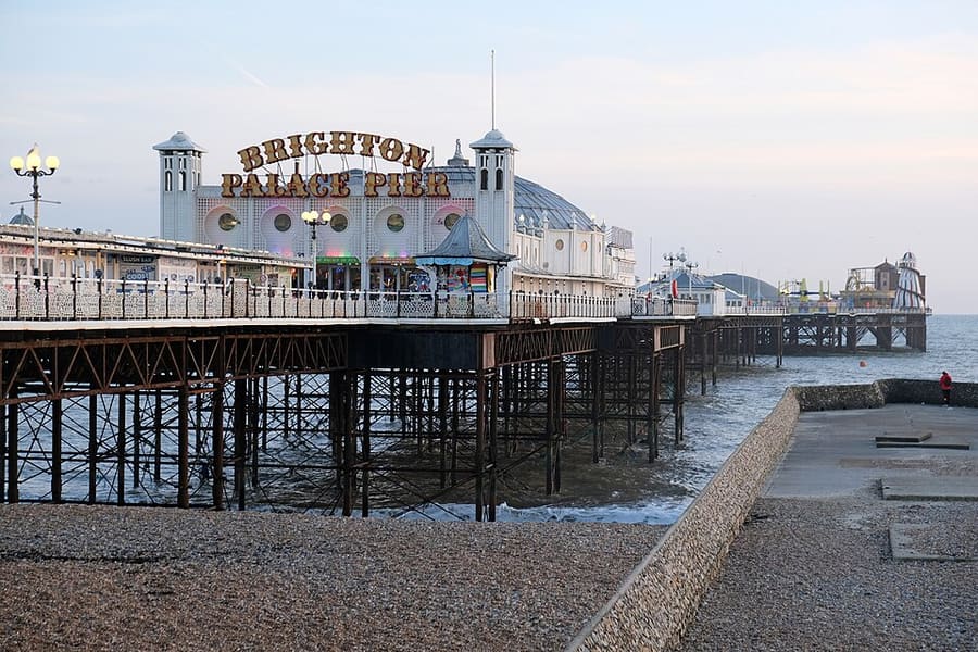
Brighton Palace Pier
Grade II* listed pleasure pier opened in 1899, with rides, arcades and places to eat; the only one of Brighton's three piers still operating.
Brighton & Hove
More areas to explore
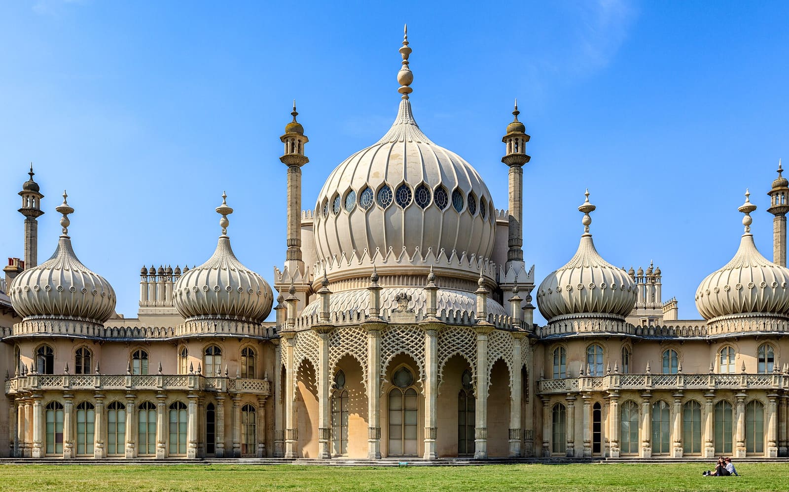
North Laine & the Royal Pavilion
The Royal Pavilion, the Dome and the independent streets between the station and the Old Steine
Ouvrir le mini-guide →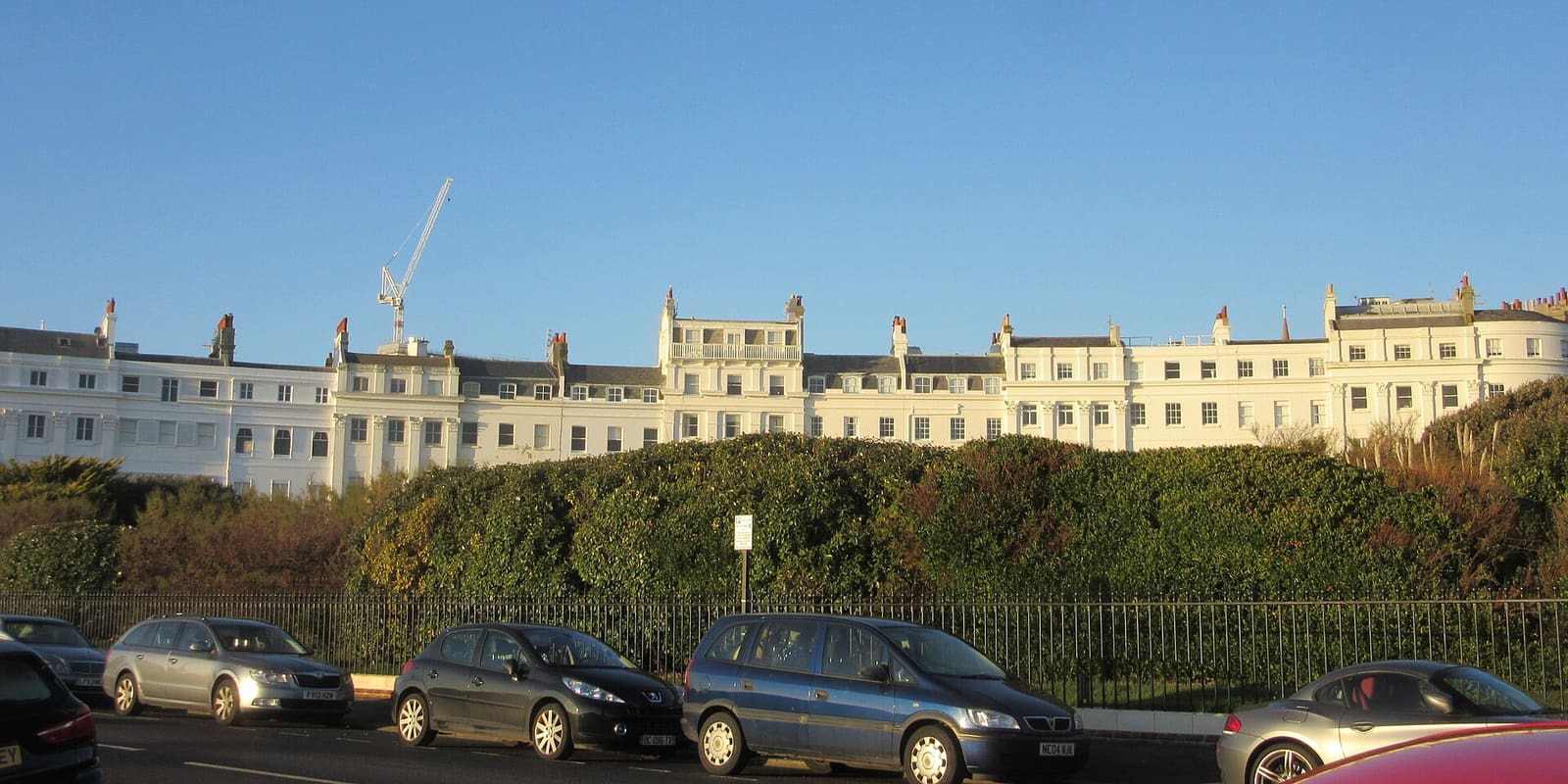
Kemptown
Regency crescents, Volk's Electric Railway, the aquarium and St James's Street east of the pier
Ouvrir le mini-guide →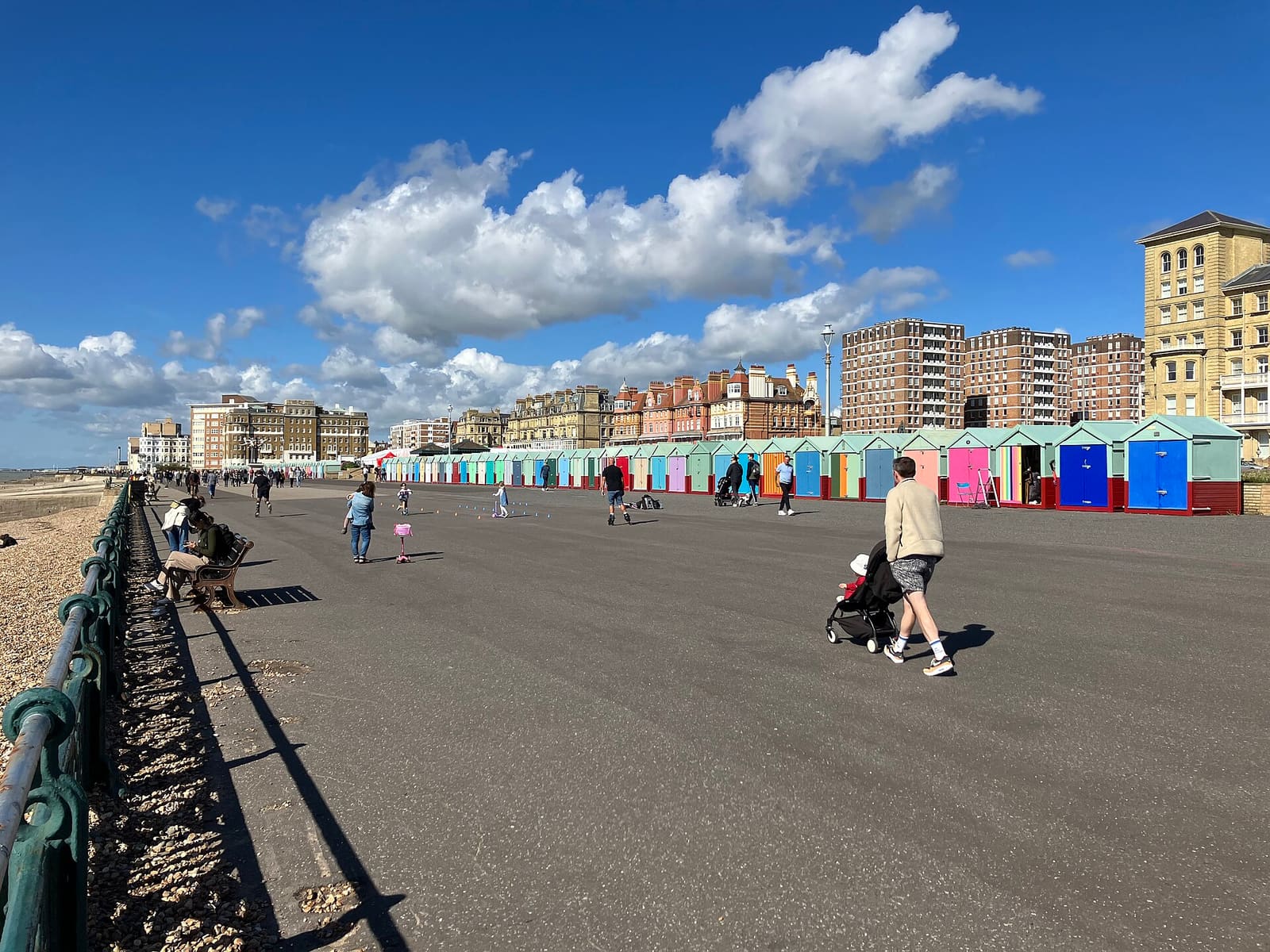
Hove
Regency squares, beach huts, Church Road and George Street west of the Peace Statue
Ouvrir le mini-guide →Crédits photos
- Brighton War Memorial: Zanoni, CC BY-SA 4.0, source
- The Lanes & seafront (area photo): Arild Vågen, CC BY-SA 4.0, source
- Brighton Centre: Arndt Helge Finkenrath, CC BY-SA 2.5, source
- The Lanes: Frank Jepsen, CC BY 2.0, source
- Brighton Palace Pier: kallerna, CC BY-SA 4.0, source
- North Laine & the Royal Pavilion: Qmin, CC BY-SA 3.0, source
- Kemptown: Hassocks5489, CC0, source
- Hove: DaHuzyBru, CC BY-SA 4.0, source
Photos from Wikimedia Commons, used under the licences shown. All photo credits
Keep exploring Brighton & Hove