 English (UK)
 English (US)
 Français
 Deutsch
 Español
 Italiano
 Nederlands
 简体中文
观景点
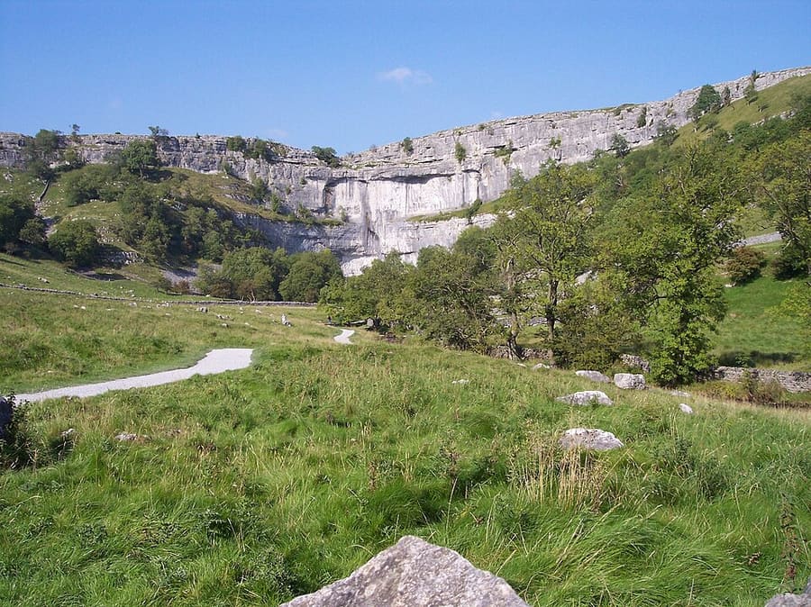
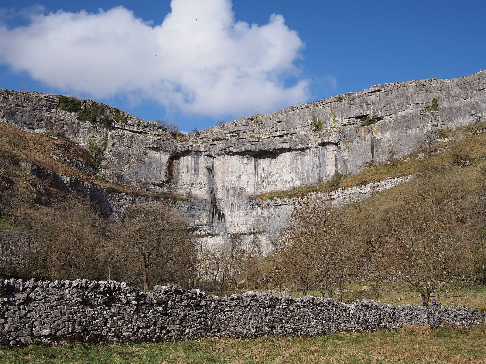
Malham Cove
Curved limestone cliff a kilometre north of Malham, formed by a meltwater waterfall after the last Ice Age, with limestone pavement on top.
迷你指南:
Places worth your time in Yorkshire Dales
精选去处
该街区及周边的地标、博物馆、公园和观景点。
Curved limestone cliff a kilometre north of Malham, formed by a meltwater waterfall after the last Ice Age, with limestone pavement on top.
Limestone ravine with two waterfalls and overhanging cliffs over 100 metres high, north-east of Malham.
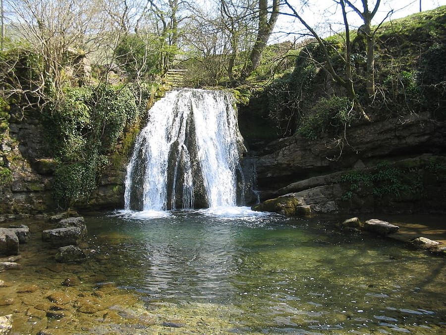
Small waterfall near Malham where Gordale Beck drops over a tufa-topped ledge into a deep pool.
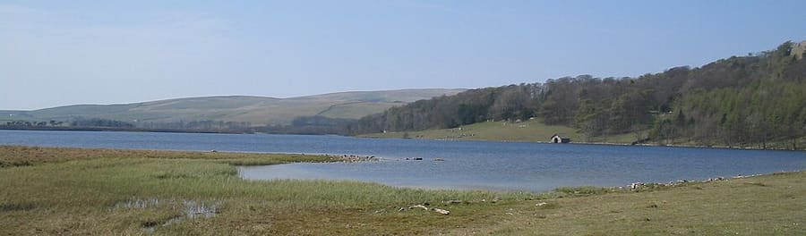
Glacial lake at 377 metres, the highest marl lake in the UK; owned by the National Trust.
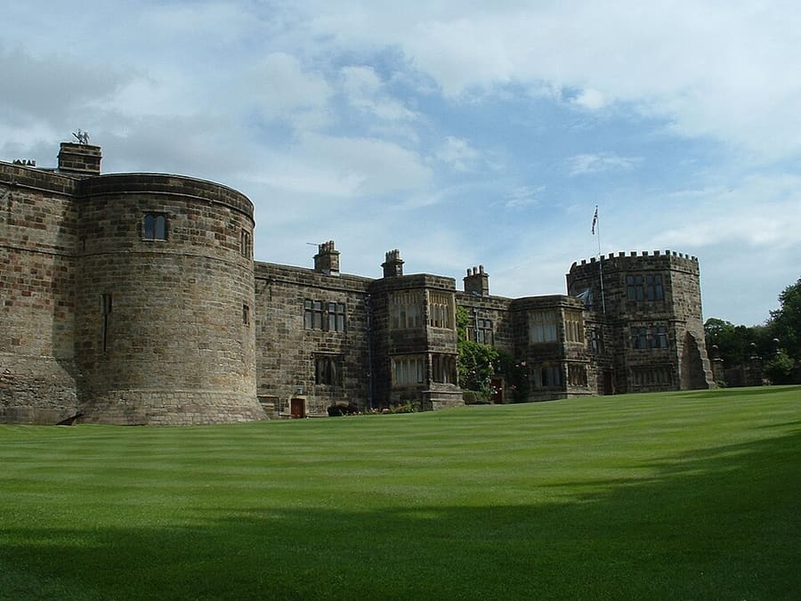
Grade I listed medieval castle at the top of the High Street, begun in 1090; still a private home.
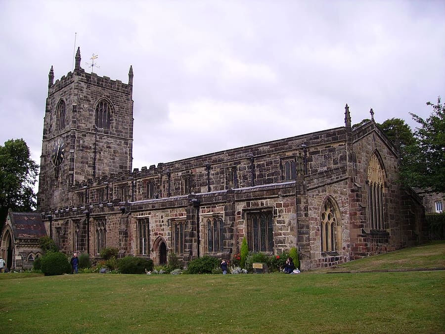
Grade I listed medieval parish church on Skipton High Street, next to the castle.
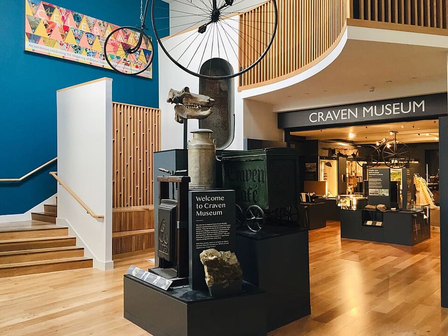
Museum of the Craven area in Skipton Town Hall, reopened in 2021 after redevelopment.
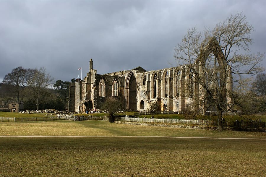
Grade I listed priory church at Bolton Abbey, where worship has continued since 1154 beside the monastic ruins.
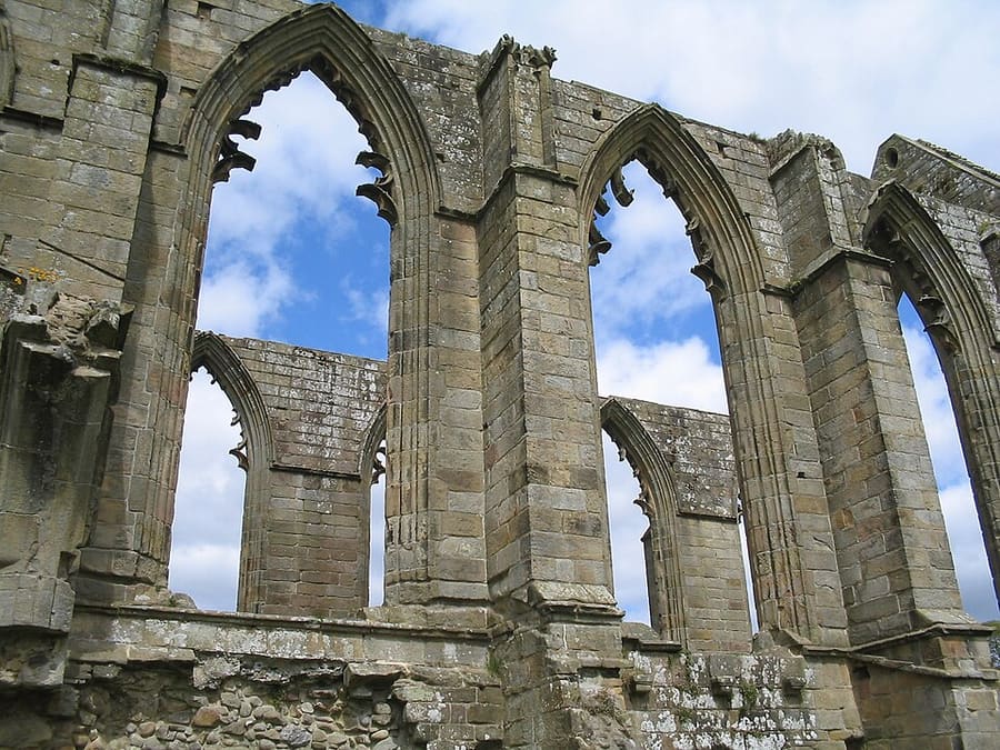
The Duke of Devonshire's estate along the River Wharfe, named after the 12th-century priory.
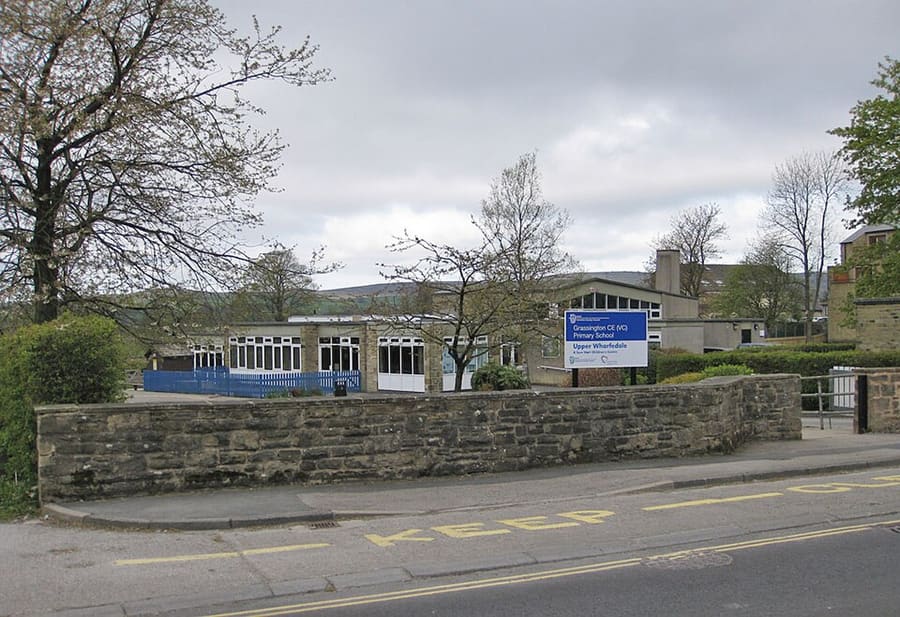
Small Wharfedale town surrounded by limestone scenery, about eight miles north-west of Bolton Abbey.
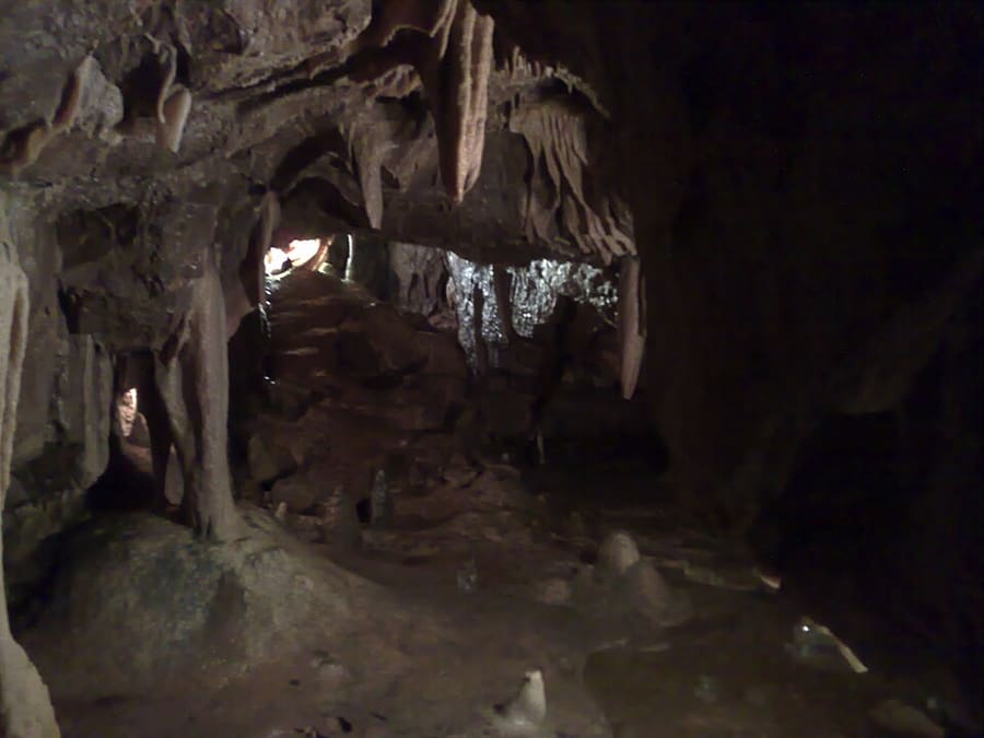
Limestone show cave between Wharfedale and Nidderdale, found around 1860.
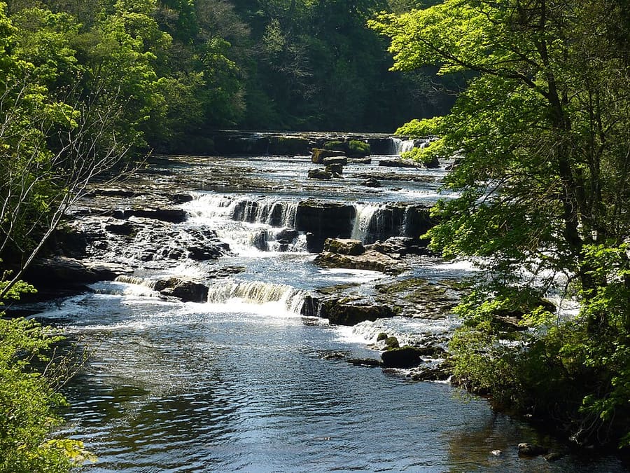
Upper, Middle and Lower Force: three flights of falls on the River Ure in mid-Wensleydale.
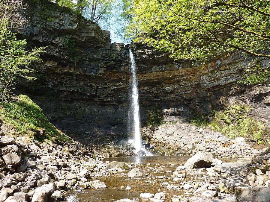
Waterfall in a wooded ravine just north of Hawes, near the Pennine Way.
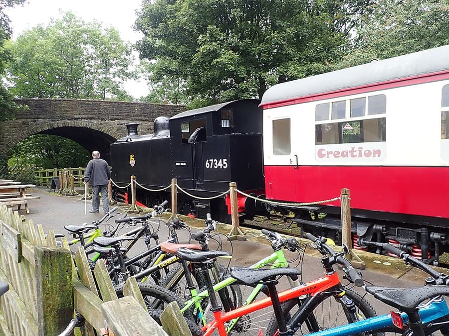
Museum and national park visitor centre in Hawes about the people who have lived and worked in the Dales.
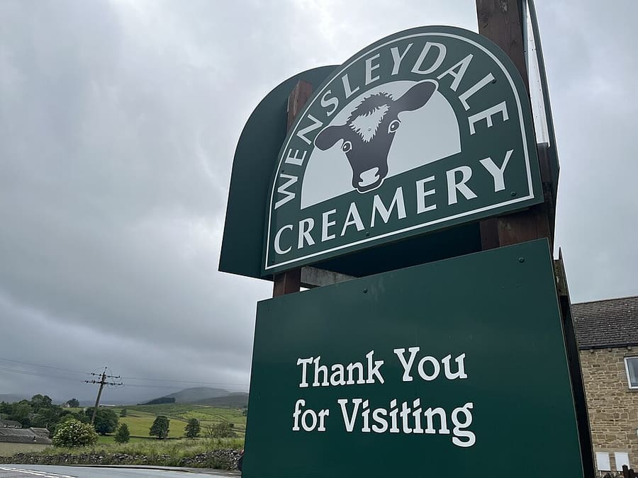
Visitor centre of the Hawes cheesemaker, known for Yorkshire Wensleydale cheese.
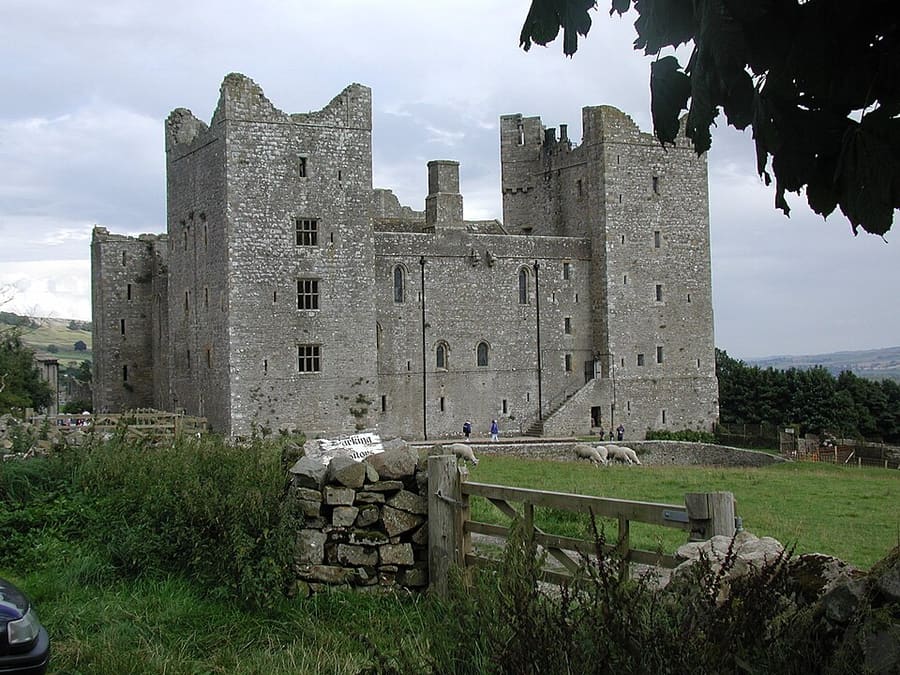
14th-century castle in Wensleydale, still owned by descendants of the Scrope family; closed in winter, so check reopening dates.
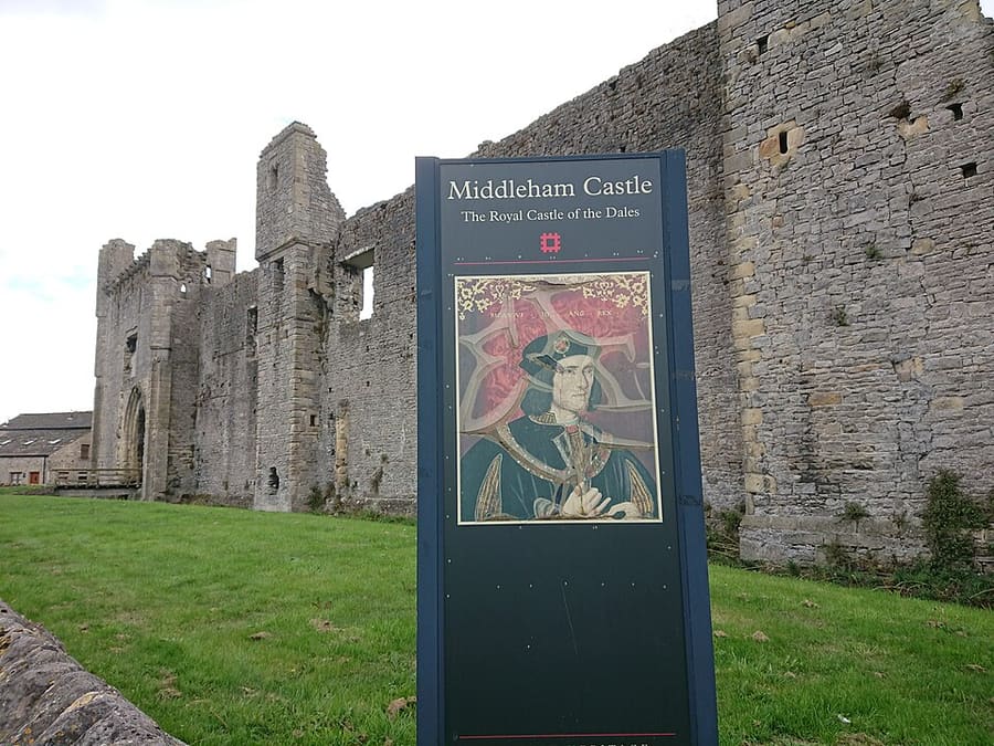
Ruined castle begun in 1190, the childhood home of Richard III. Cared for by English Heritage.
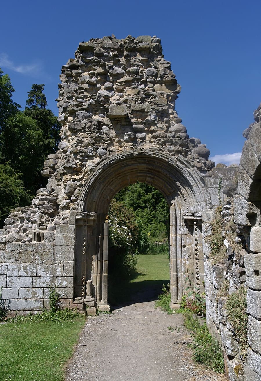
Ruins of one of the great Cistercian abbeys of Yorkshire, dedicated in 1156.
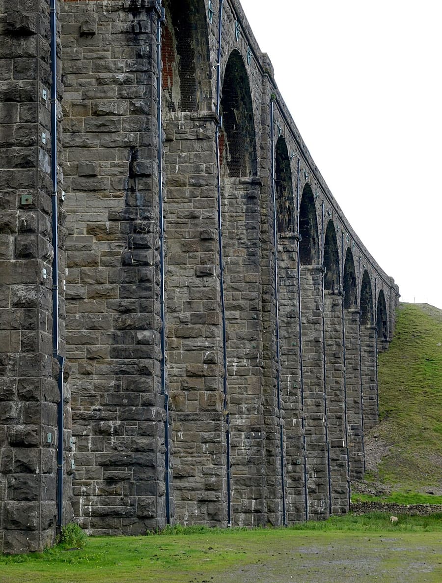
Midland Railway viaduct carrying the Settle–Carlisle line across Batty Moss, the longest structure on the line.
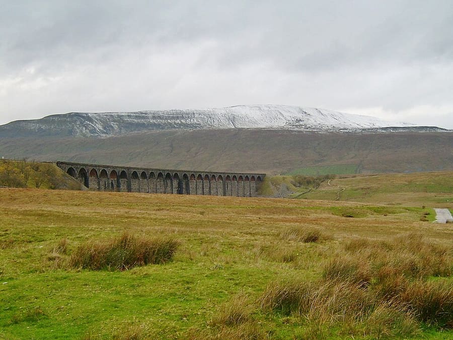
The highest of the Yorkshire Three Peaks and the highest point in North Yorkshire.
Second-highest of the Three Peaks, largely a Site of Special Scientific Interest and National Nature Reserve.
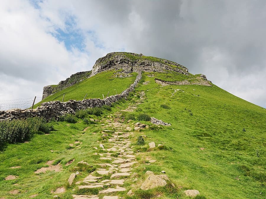
The lowest of the Three Peaks at 694 metres, east of Horton-in-Ribblesdale.
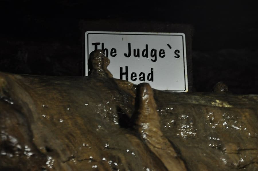
Show cave under Ingleborough in the Chapel-le-Dale valley, part of a cave about 6 km long.
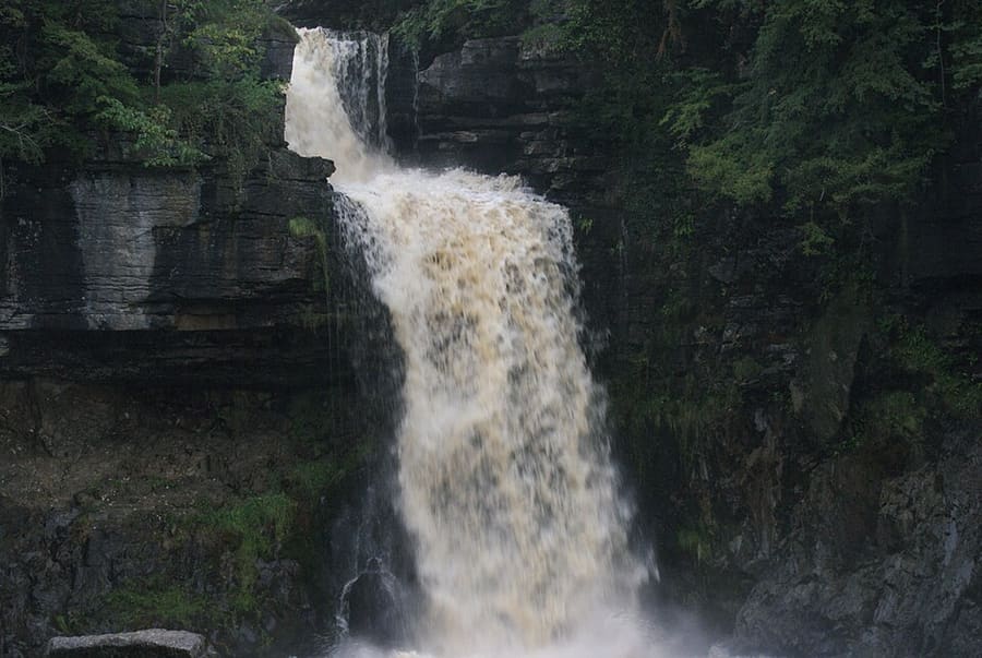
Circular trail of about 8 km past waterfalls and woodland from Ingleton village; on private land with an entry fee.
Yorkshire
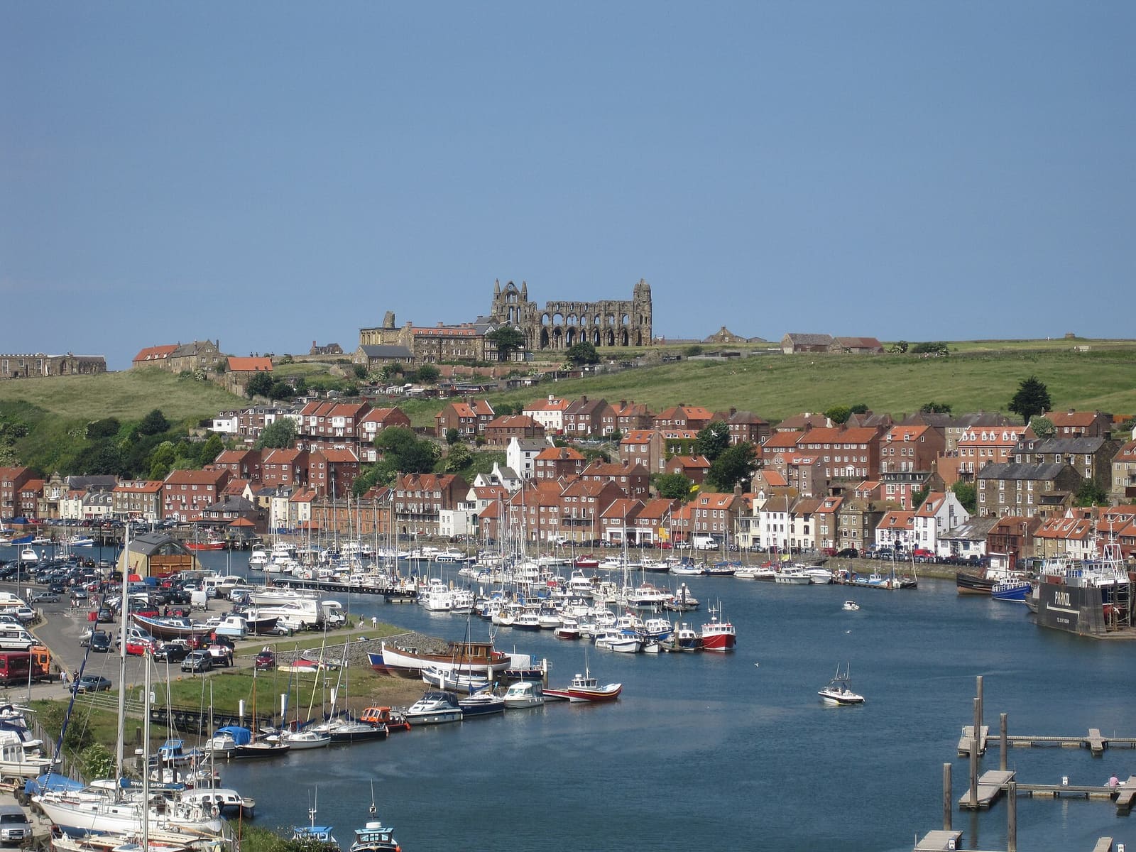
Harbour town at the mouth of the Esk, with the abbey, Captain Cook and Dracula
打开迷你指南 →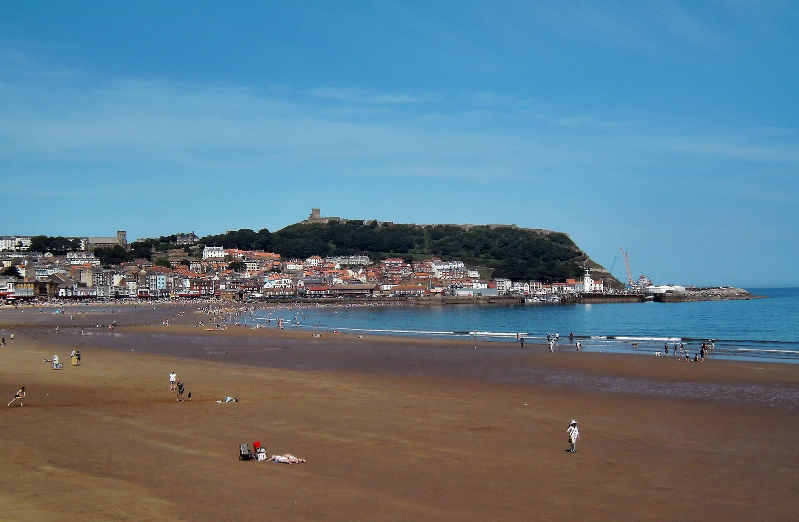
Two sandy bays, a castle headland and the resort that grew from a spa
打开迷你指南 →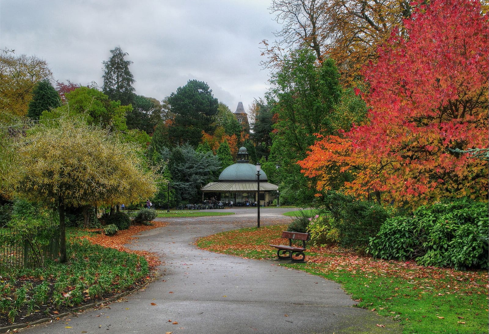
Victorian spa town with gardens and baths, and the Nidd gorge at Knaresborough
打开迷你指南 →Photos from Wikimedia Commons, used under the licences shown. All photo credits
Keep exploring Yorkshire