 English (UK)
 English (US)
 Français
 Deutsch
 Español
 Italiano
 Nederlands
 简体中文
北爱尔兰 · 线性路线(单程)
Causeway Coast Way:Ballintoy至Portballintrae
一段漫长而艰难的海岸路段,途经Dunseverick和Giant's Causeway。
- 距离 17.7 km · 11.0 miles 路线长度根据 OpenStreetMap 几何数据测得
- 典型用时 未注明 官方页面未给出时间,因此我们不显示。
- 爬升 未注明 无官方爬升数据
- 等级 较难 官方难度等级:“非常艰苦”
- 路线类型线性(单程) 从Ballintoy Harbour到Portballintrae(Bushfoot Road)
离线使用这条步行路线
Near the start, along the way and at the finish
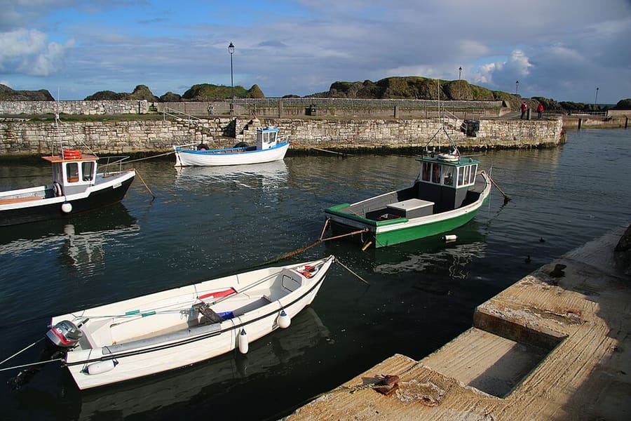

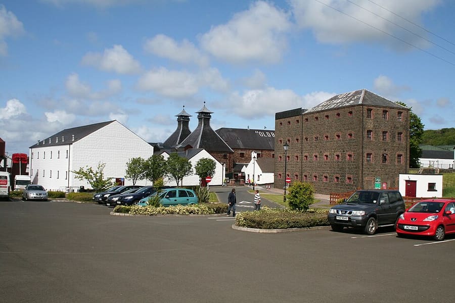

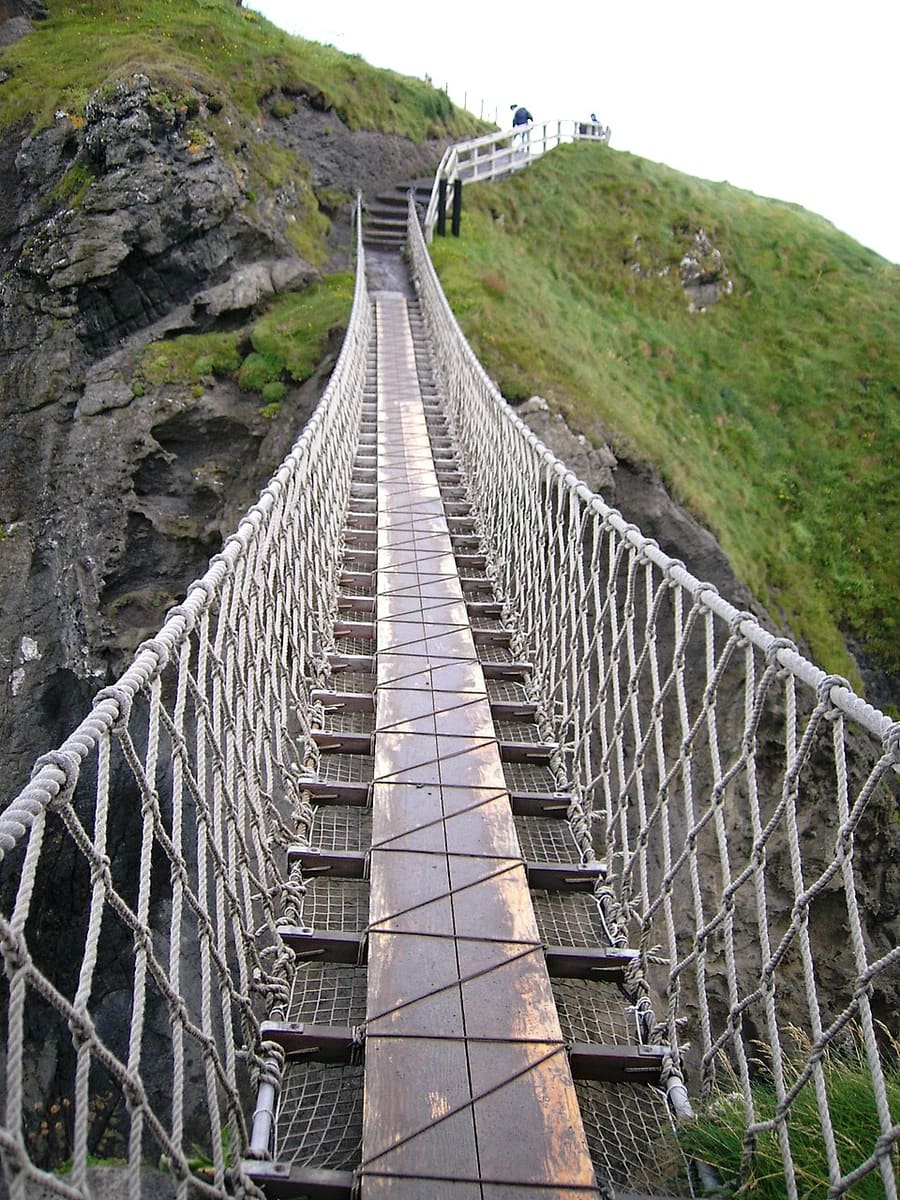

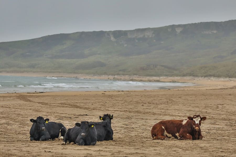

Photos of named places from our guides closest to each point of the walk, with the straight-line distance. They show the area, not the path itself: follow the waymarks and the official page.
路线
这是Outmore NI路线的大部分,从Ballintoy Harbour出发前往Bushmills,沿有路标的Causeway Coast Way前行。图上所示路线止于Portballintrae,距官方终点Bushmills还有一小段,因为已测绘的步道到此为止。这是一整天在崎岖海岸地形上的行程,请安排好终点的交通。
交互式地图需要启用JavaScript。起点和终点列于下方。
沿途风光
- 起点:Ballintoy Harbour
- 终点:Portballintrae (Bushfoot Road)
这条线路根据OpenStreetMap数据绘制,并简化为464个点。它可能与实地情况有所不同,请以路标和官方页面为准。
路线与地图数据© OpenStreetMap contributors(ODbL),保存于2026-10-25。发现错误?修正地图。
GPX文件以轨迹形式保存路线,并包含起点、终点和途经点,可在徒步或步行应用中使用。它仅供规划参考,不保证导航准确。
出发前须知
安全与通行说明均来自官方页面。路况会变化,请在出行当天查阅所链接的页面。
前往方式
- Nearest station or stop to the start in our dataGiant's Causeway (heritage, Giant's Causeway & Bushmills Railway), about 9.5 km in a straight line.
- Nearest to the finishBushmills (heritage, Giant's Causeway & Bushmills Railway), about 1.3 km in a straight line.
此处为我们车站列表中的直线距离,并非步行距离。出行前请查看时刻表以及前往起点的路线。地区之间的交通
无台阶通道与婴儿车通行
官方页面没有说明这条路线是否无台阶或适合婴儿车,因此我们也不作说明。请查看官方页面(在新标签页中打开),或向景点方咨询。
安全
- Outmore NI 提醒游客,Portbradden 附近的岩石凹凸不平,还有白垩巨石,需要小心;同时警告这里地形艰难,包括没有桥的溪流涉渡、需要攀爬的岩石路段,以及狭窄且杂草丛生的路段。Outmore NI: Ballintoy to Bushmills(在新标签页中打开)
这些数据是如何得出的
- 距离:路线长度根据 OpenStreetMap 几何数据测得。官方页面未给出距离。该数值为沿已标绘路径的直线段之和,因此可能与路标标注的数字有所不同。
- 等级:取自官方页面。
- 用时:仅在官方页面注明时才显示。
信息来源
- Outmore NI: Ballintoy to Bushmills(在新标签页中打开)。官方路线长12.5 miles,通往Bushmills Station,难度为极高强度,地形警示,起点位于Ballintoy Harbour停车场。查阅日期:2026-10-25。
- OpenStreetMap:Causeway Coast Way (relation 1085994)(在新标签页中打开)。路线走向及至Portballintrae的实测长度。核查于2026-10-25。
- OpenStreetMap contributors(在新标签页打开)(ODbL)。路线几何数据。保存于2026-10-25。
更多步行路线:北爱尔兰
Cuilcagh Boardwalk Trail
单程步道,从Fermanagh的Marlbank Road出发,通往Cuilcagh上的观景台。