 English (UK)
 English (US)
 Français
 Deutsch
 Español
 Italiano
 Nederlands
 简体中文
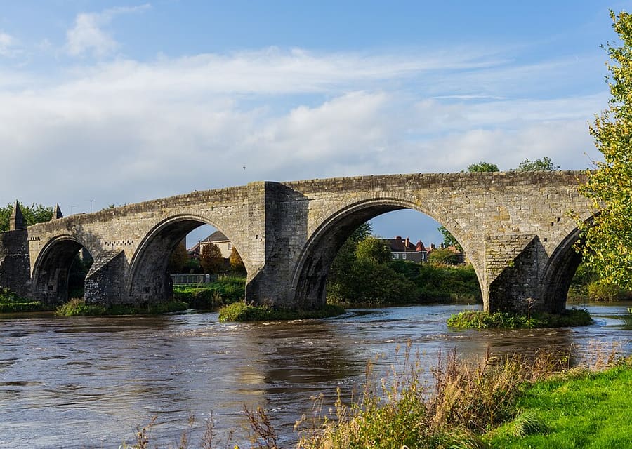
迷你指南:
Stirling and Bannockburn: getting there
Stops, stations and how to reach Stirling and Bannockburn
站点与车站
Getting to Stirling and Bannockburn
请选择离目的地最近的站点。
| 站点或车站 | 服务 | 适合 |
|---|---|---|
| Stirling | ScotRail and Lumo trains | About 35 minutes from Glasgow Queen Street and 50 from Edinburgh; two minutes' walk from the centre (Your Stirling) |
| Stirling bus station | Coaches and local buses | Your Stirling lists an hourly non-stop coach to Glasgow and Edinburgh |
Walking from nearby areas
- Callander and the Trossachs: 25.1 km from Stirling and Bannockburn, better by public transport
Reaching Stirling and the Trossachs
官方出行信息
Stirling is on the main railway lines north of Glasgow and Edinburgh, and the Trossachs are reached by road or by bus from Stirling. ScotRail, Citylink, Stirling Council and the National Trust for Scotland refused our automated requests, so this page quotes the city's visitor site, Lumo, the national park authority and Loch Katrine Cruises; check the operators for times and fares.
- Your Stirling → — Visitor guide to Stirling, with travel tips
- ScotRail → — Trains to Stirling from Glasgow and Edinburgh (times and fares)
- Lumo → — Direct trains between Stirling and London Euston
- Traveline Scotland → — Bus and coach journey planner
- Loch Lomond & The Trossachs National Park → — Getting to the national park
班次时间、票价和运营中断情况可能变动:请通过上方运营方页面查看实时信息。
在此规划行程
Enter your starting point and Google Maps will show routes to Stirling and Bannockburn. Public transport is selected; change it on the map. Check operator sites for live disruption.
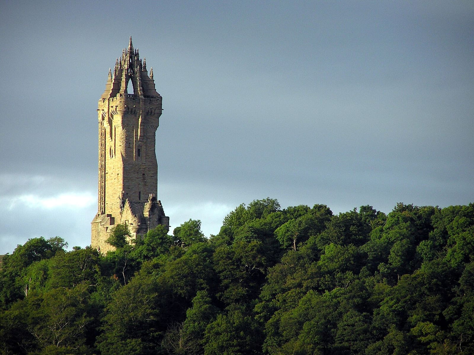
While you are here
Things to see in Stirling and Bannockburn
A few of the sights in the area. The Things to do page lists them all, with directions and official links.
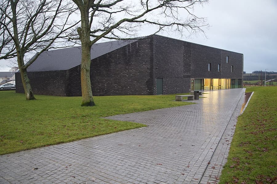
Bannockburn Visitor Centre
National Trust for Scotland centre by the 1314 battlefield, with a digital battle experience and memorial park.
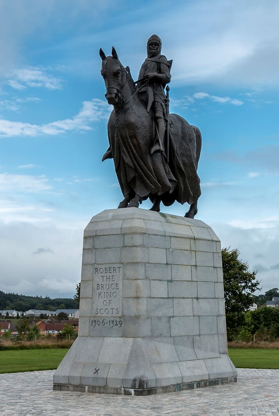
Equestrian statue of Robert the Bruce
Bronze statue by Pilkington Jackson, unveiled in 1964 near the traditional site of the Battle of Bannockburn.
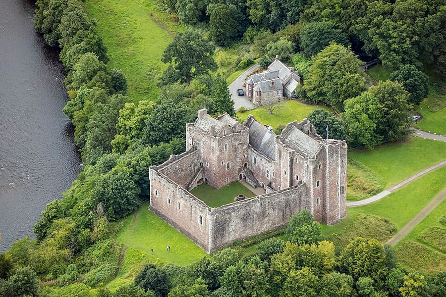
Doune Castle
Late 14th-century courtyard castle built for Regent Albany, used as a film location for Outlander and Monty Python.
Stirling and the Trossachs
More areas to explore
图片来源
- Stirling Old Bridge: Iain Cameron, CC BY 2.0, source
- Stirling and Bannockburn (area photo): Finlay McWalter, CC BY-SA 3.0, source
- Bannockburn Visitor Centre: Tom Parnell from Scottish Borders, Scotland, CC BY-SA 2.0, source
- Equestrian statue of Robert the Bruce: Martin Kraft, CC BY-SA 3.0, source
- Doune Castle: Godot13, CC BY-SA 4.0, source
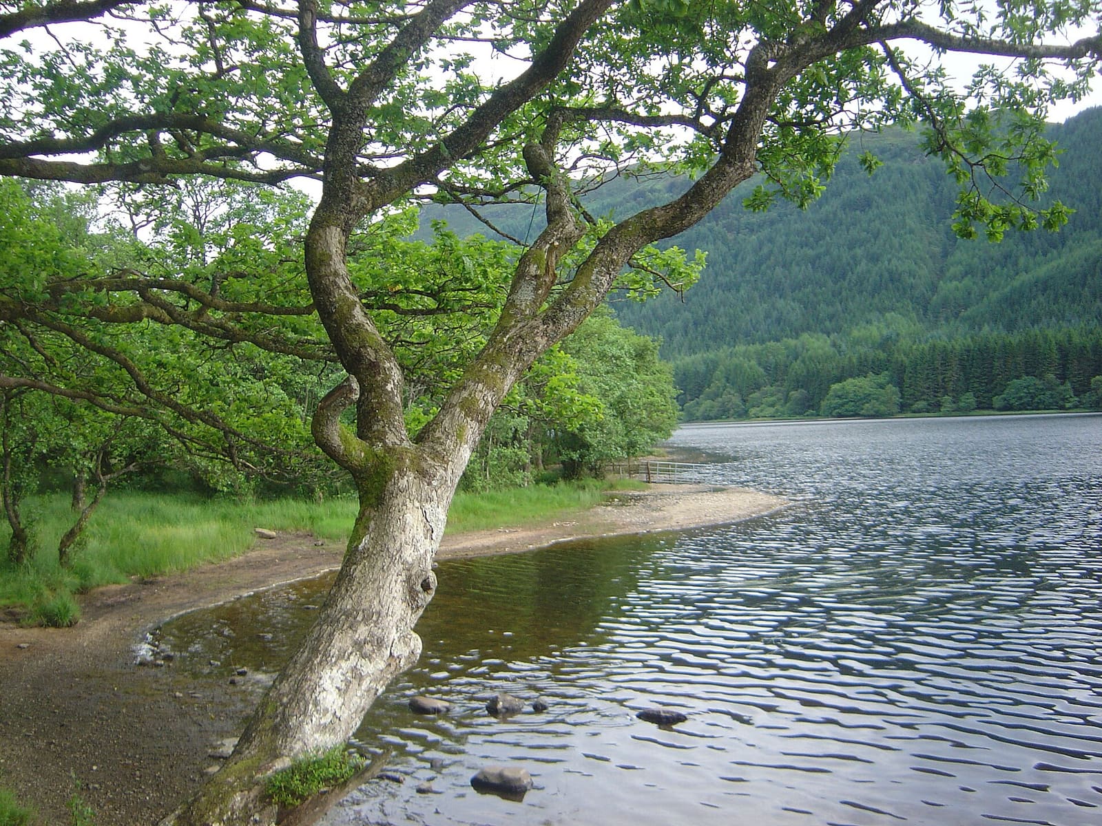
- Callander and the Trossachs: David Monniaux, CC BY-SA 3.0, source
Photos from Wikimedia Commons, used under the licences shown. All photo credits
Keep exploring Stirling and the Trossachs