English (UK)
 English (US)
 Français
 Deutsch
 Español
 Italiano
 Nederlands
 简体中文
博物馆
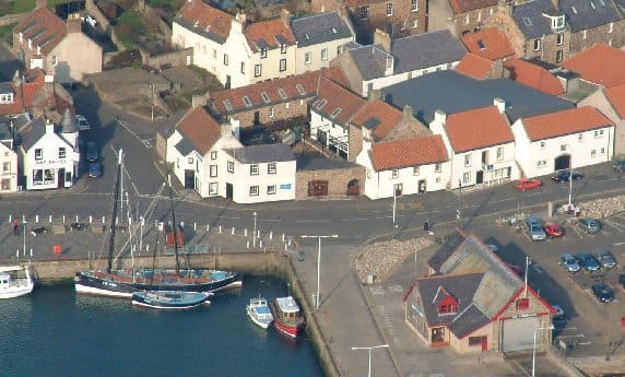
Scottish Fisheries Museum
Museum of the Scottish fishing industry and its communities, on the harbour front at Anstruther.
迷你指南:
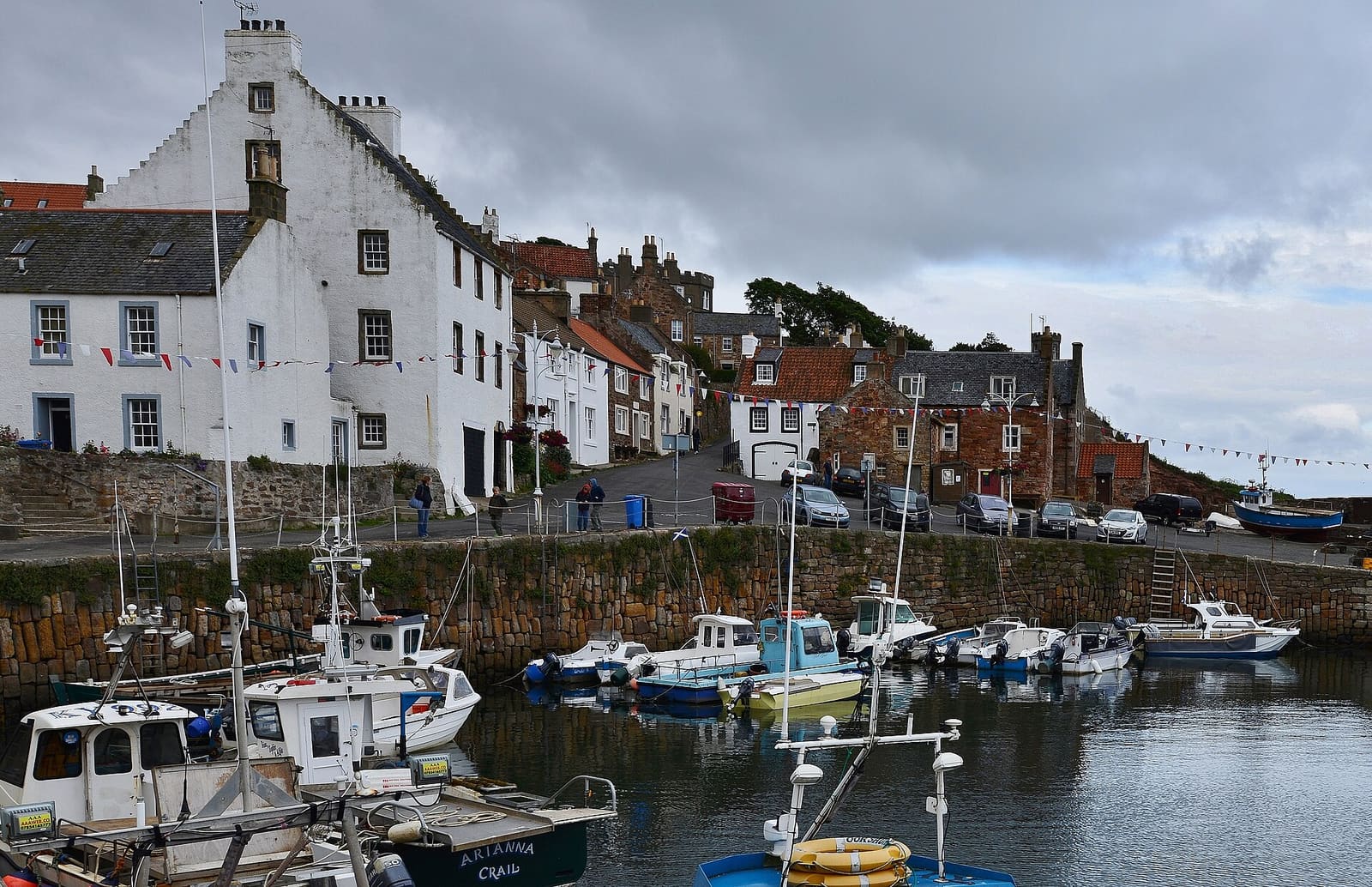
Crail, Anstruther, Pittenweem, St Monans and Elie: stone harbours on the Firth of Forth
 1 / 10
欢迎来到这个街区
The East Neuk is the corner of Fife between St Andrews and Elie. "Neuk" is Scots for nook or corner. Its former fishing villages, Crail, Anstruther, Pittenweem, St Monans and Elie, have enclosed stone harbours and houses with pantiled roofs.
Anstruther is the largest village and home to the Scottish Fisheries Museum; boats leave its harbour for the Isle of May. The Fife Coastal Path links every village, with caves, a windmill, ruined castles and the Elie Chain Walk along the way.
亮点
如果只有几个小时,不妨从这些地方开始。
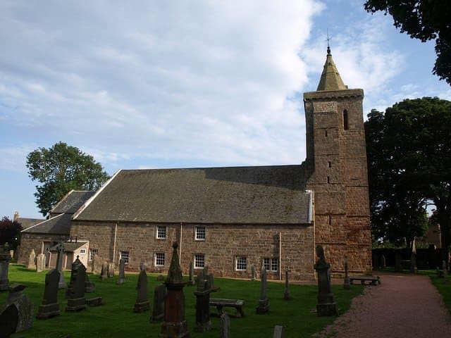
Museum of the Scottish fishing industry and its communities, on the harbour front at Anstruther.
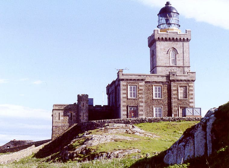
National nature reserve island about 8 km offshore, with one of the largest puffin colonies in the UK; boats sail from Anstruther.
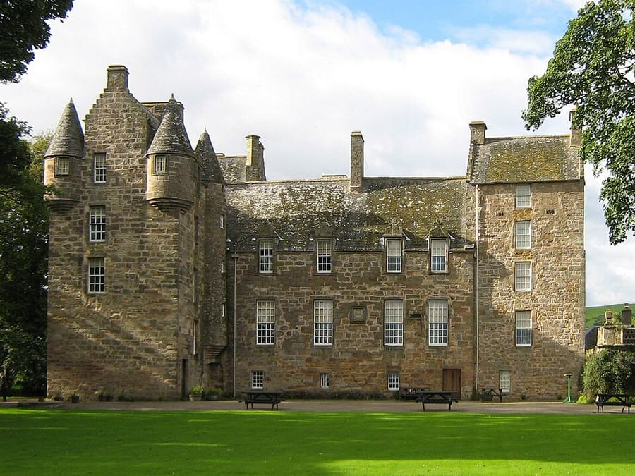
Castle with a walled garden 4 km north of Pittenweem, restored by the Lorimer family and run by the National Trust for Scotland.
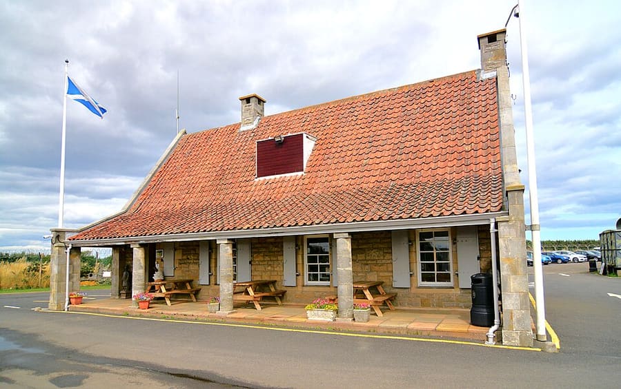
Cold War nuclear bunker built in 1951 and hidden under an ordinary-looking house, now a museum.
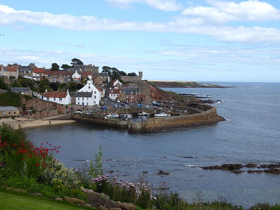
Small harbour reached down steep lanes; its west pier was rebuilt by Robert Stevenson in 1828.
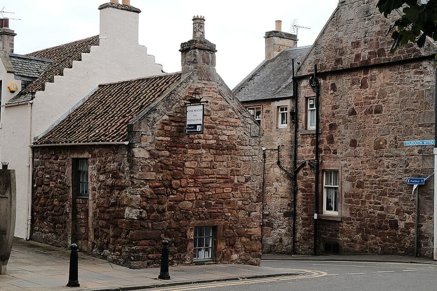
Volunteer-run museum and heritage centre at the top of Tolbooth Wynd, with rooms on the burgh, the airfield and golf.
出行指引
The map shows East Neuk and the streets around it. The Getting there page lists nearby stops and stations.
内行贴士
The Fife Coastal Path joins the villages; bus 95 runs along the same coast, so a one-way walk is easy to plan.
The May Princess gives about 2.5 to 3 hours ashore. The island is closed to visitors from 1 October until Easter for the seal pups.
The Elie Chain Walk, west of Earlsferry, uses chains fixed to the cliffs and should only be attempted at low tide.
On the beach beside Crail harbour there are fossilised trees from the Carboniferous period.
Britlens 编辑贴士
浏览本指南
Photos from Wikimedia Commons, used under the licences shown. All photo credits
Keep exploring St Andrews and Fife