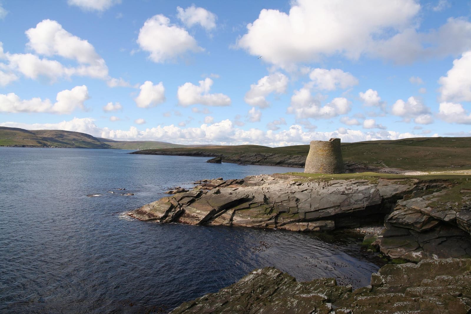
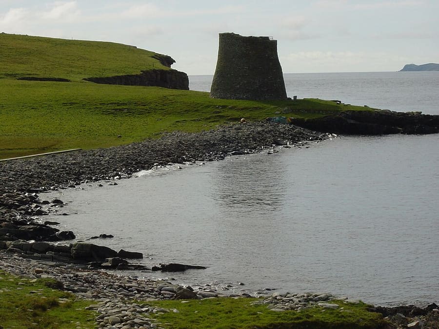
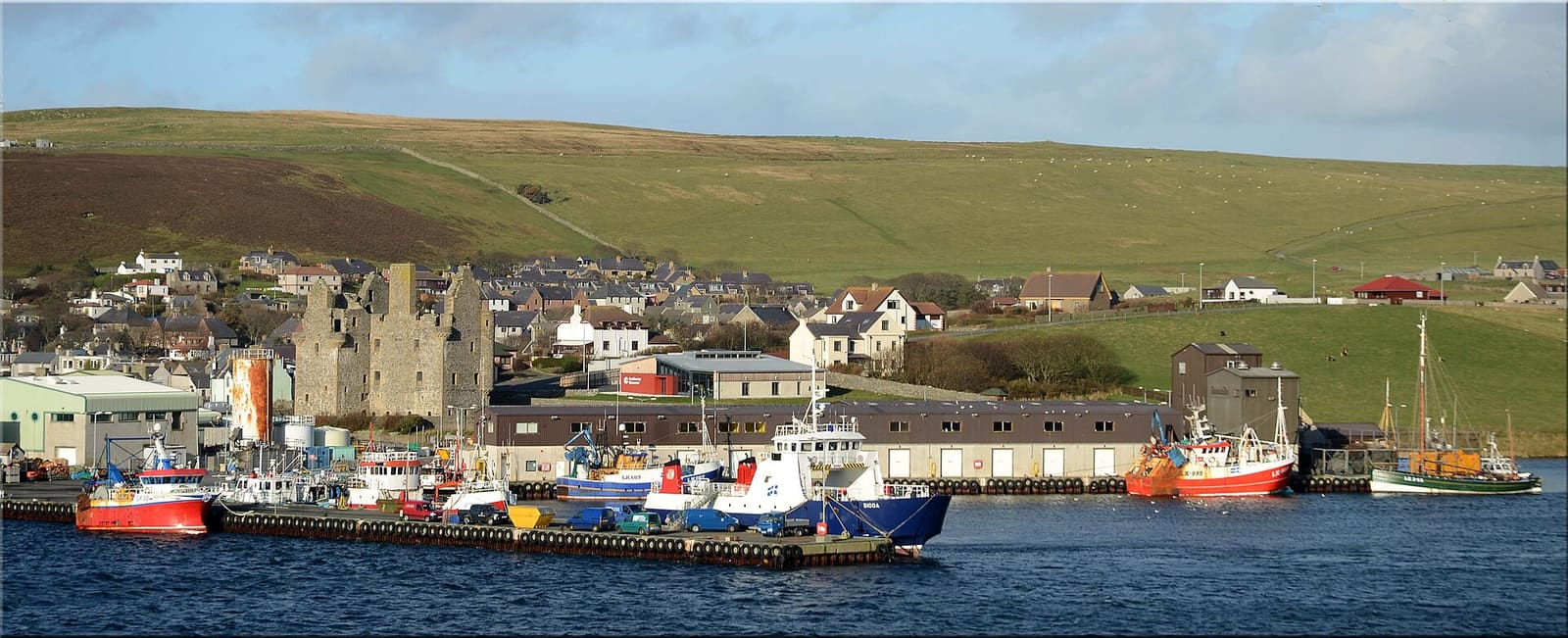
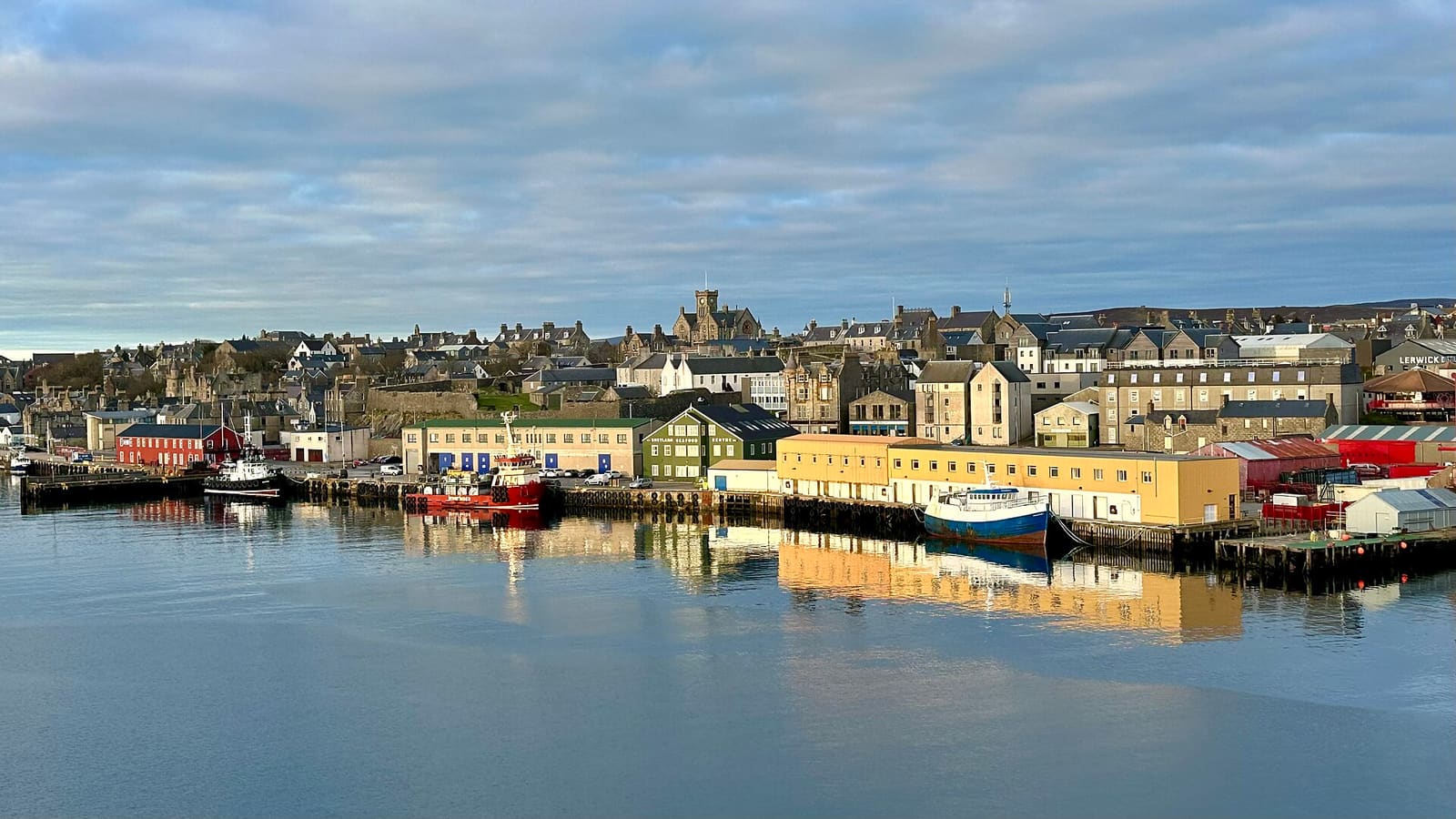
South Mainland: Sumburgh, Jarlshof & Mousa: The Iron Age broch tower on the island of Mousa above a rocky shore

迷你指南:

South Mainland: Sumburgh, Jarlshof & Mousa

Prehistoric and Norse sites, the Mousa broch, puffin cliffs and the St Ninian's Isle tombolo

欢迎来到这个街区

Prehistoric and Norse sites, the Mousa broch, puffin cliffs and the St Ninian's Isle tombolo

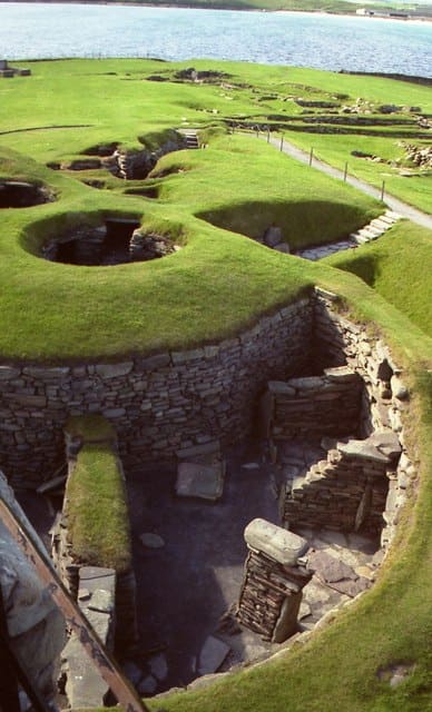
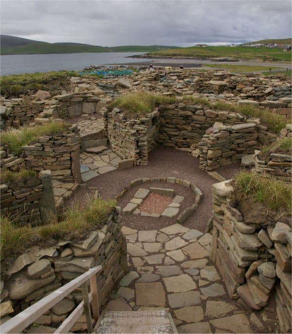
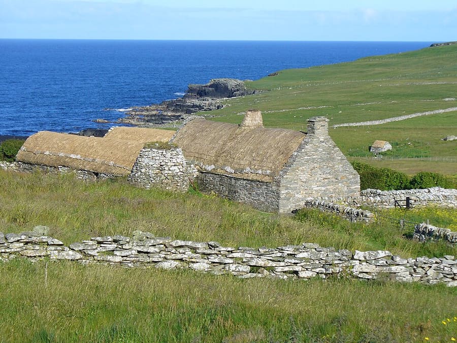
The South Mainland runs from Lerwick down to Sumburgh Head, the southern tip of the Shetland Mainland. Jarlshof, near Sumburgh Airport, holds more than 4,000 years of settlement on one site, from Neolithic houses to a 1500s laird's house, and Old Scatness nearby has an Iron Age broch and village.

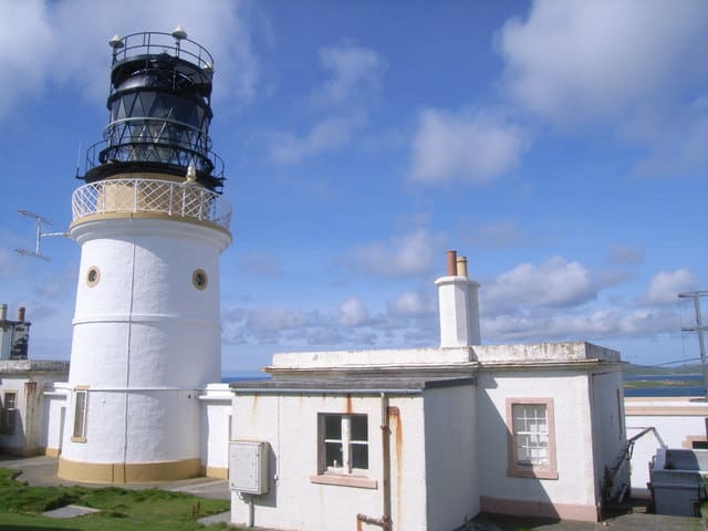
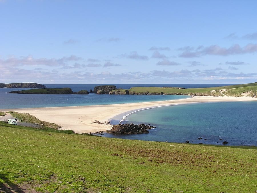
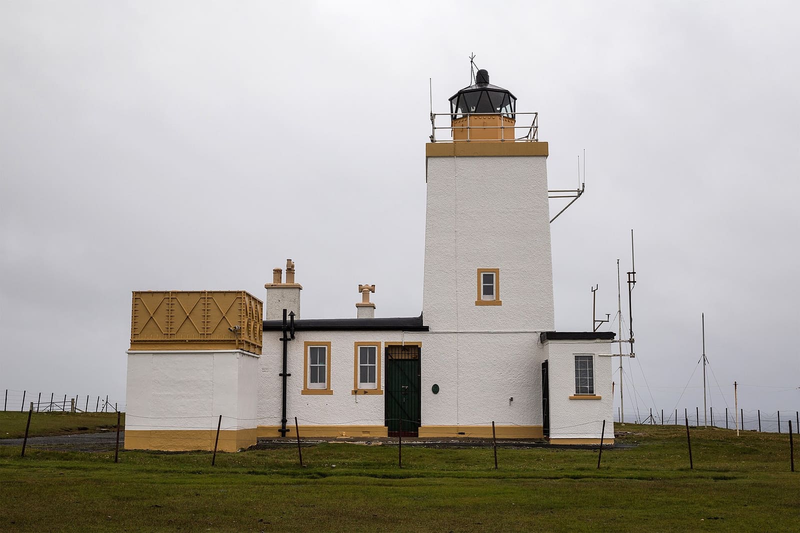
Off the east coast, the island of Mousa has the tallest and best-preserved Iron Age broch in Scotland, reached by a summer boat from Sandwick. On the west side, St Ninian's Isle is joined to the Mainland by a 500-metre sand tombolo, and Sumburgh Head has a lighthouse, a visitor centre and seabird cliffs.

亮点

从这里开始

如果只有几个小时,不妨从这些地方开始。

查看全部 8 个游玩推荐

出行指引

地图一览

The map shows South Mainland: Sumburgh, Jarlshof & Mousa and the streets around it. The Getting there page lists nearby stops and stations.

查看大地图 →

内行贴士

出发前须知

1

Plan Mousa early in your trip

The Mousa Boat asks visitors not to leave the trip to their last day, as sailings depend on the weather.

2

Leave the car at the bottom

Sumburgh Head asks visitors not to drive to the top unless they need the accessible spaces; free parking is in the lower car park.

3

Check the tombolo

The St Ninian's Isle sand bar is above the sea in summer but can be covered at high tide in winter. Check the tide before you cross.

4

Watch for the runway crossing

The main road south crosses the Sumburgh Airport runway and closes briefly when aircraft land and take off.

Britlens 编辑贴士

图片来源

Photos from Wikimedia Commons, used under the licences shown. All photo credits