 English (UK)
 English (US)
 Français
 Deutsch
 Español
 Italiano
 Nederlands
 简体中文
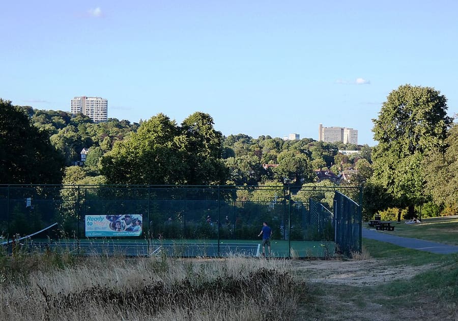
迷你指南:
University, Botanical Gardens and the Porter Valley: getting there
Stops, stations and how to reach University, Botanical Gardens and the Porter Valley
站点与车站
Getting to University, Botanical Gardens and the Porter Valley
请选择离目的地最近的站点。
| 站点或车站 | 服务 | 适合 |
|---|---|---|
| University of Sheffield | Supertram | Tram stop near Firth Court and Weston Park |
| West Street | Supertram | Tram stop on West Street, near Devonshire Green |
| Ecclesall Road | 巴士 | For the Botanical Gardens and the Porter Valley parks; plan with Travel South Yorkshire |
Within walking range
Stations near University, Botanical Gardens and the Porter Valley
Stations and stops mapped in OpenStreetMap within 2.5 km of the centre of University, Botanical Gardens and the Porter Valley, nearest first. Distances are straight lines; walking times assume 5 km/h and are a minimum.
| Station or stop | 类型 | 距离 | 步行 |
|---|---|---|---|
| Netherthorpe Road | Tram stop (Stagecoach) | 1.4 km | about 16 min |
| City Hall | Tram stop (Stagecoach) | 1.7 km | about 21 min |
| Shalesmoor | Tram stop (Stagecoach) | 1.9 km | about 23 min |
| Infirmary Road | Tram stop (Stagecoach) | 1.9 km | about 23 min |
Station data: © OpenStreetMap contributors (ODbL), read 3 November 2026. Check step-free access with the operator before you travel.
Walking from nearby areas
- City Centre and the Winter Garden: 2.0 km from University, Botanical Gardens and the Porter Valley, about 24 min on foot
- Kelham Island and the River Don: 2.3 km from University, Botanical Gardens and the Porter Valley, about 27 min on foot
Reaching Sheffield
官方出行信息
Sheffield has a main-line station beside the city centre and a tram network; it has no airport of its own. Always check the operator for current times, fares and disruption.
- National Rail: Sheffield station → — facilities, step-free access and departures
- Travel South Yorkshire: Supertram → — routes, stops and tickets
- Welcome to Sheffield → — official destination website
班次时间、票价和运营中断情况可能变动:请通过上方运营方页面查看实时信息。
在此规划行程
Enter your starting point and Google Maps will show routes to University, Botanical Gardens and the Porter Valley. Public transport is selected; change it on the map. Check operator sites for live disruption.
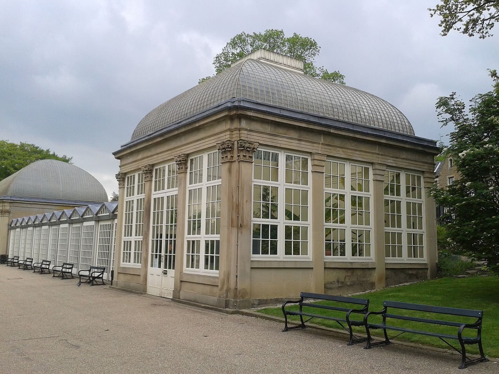
While you are here
Things to see in University, Botanical Gardens and the Porter Valley
A few of the sights in the area. The Things to do page lists them all, with directions and official links.
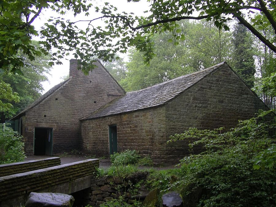
Shepherd Wheel Workshop
Former water-powered grinding workshop on the Porter Brook with a working 5.5 m water wheel; free.
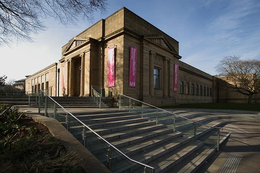
Weston Park Museum
Sheffield's largest museum, opened in 1875 in Weston Park, with free entry; closed on Mondays.
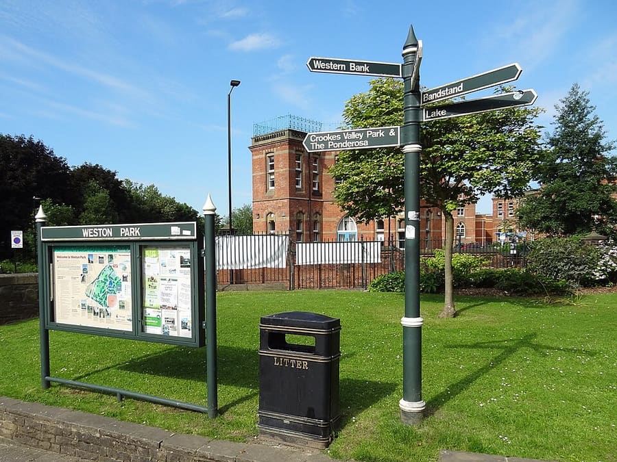
Weston Park
Grade II listed park of just over 5 hectares beside the museum and the University of Sheffield.
Sheffield
More areas to explore
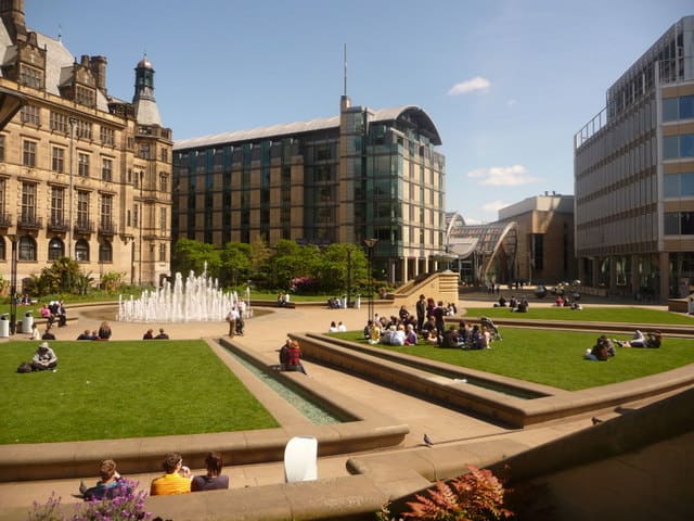
City Centre and the Winter Garden
A glasshouse, free galleries, the Crucible and two cathedrals within a short walk
打开迷你指南 →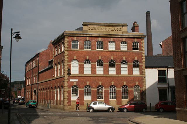
Kelham Island and the River Don
Old cutlery and steel works by the river, an industrial museum and the canal basin
打开迷你指南 →图片来源
- Bingham Park: Neil Theasby, CC BY-SA 2.0, source
- University, Botanical Gardens and the Porter Valley (area photo): Warofdreams, CC BY-SA 3.0, source
- Shepherd Wheel Workshop: Warofdreams, CC BY-SA 3.0, source
- Weston Park Museum: Adrian Richardson, CC BY-SA 3.0, source
- Weston Park: Simon Cobb, CC0, source
- City Centre and the Winter Garden: Chris Downer, CC BY-SA 2.0, source
- Kelham Island and the River Don: Alan Murray-Rust, CC BY-SA 2.0, source
Photos from Wikimedia Commons, used under the licences shown. All photo credits
Keep exploring Sheffield