 English (UK)
 English (US)
 Français
 Deutsch
 Español
 Italiano
 Nederlands
 简体中文
迷你指南:
Barra & Vatersay: getting there
Stops, stations and how to reach Barra & Vatersay
站点与车站
Getting to Barra & Vatersay
请选择离目的地最近的站点。
| 站点或车站 | 服务 | 适合 |
|---|---|---|
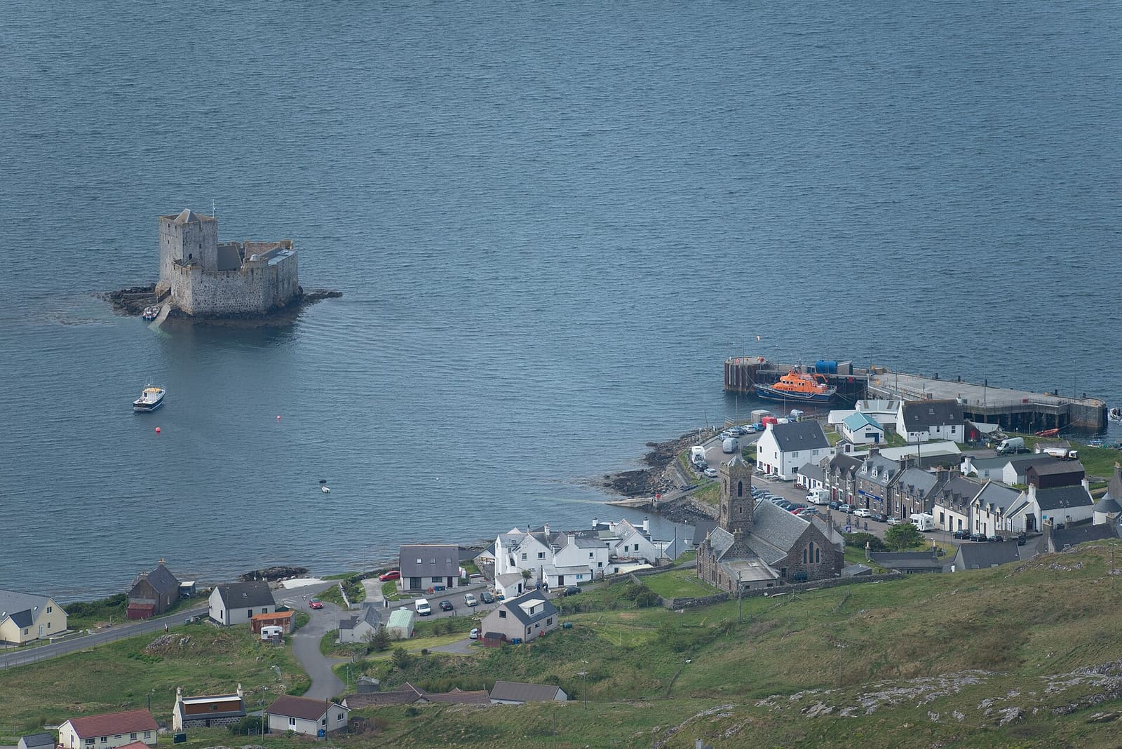
| Castlebay | CalMac ferry to Oban | CalMac gives a crossing time of 4 hours 45 minutes and strongly recommends vehicle reservations |
| Ardmhor | CalMac ferry to Eriskay | CalMac gives a crossing time of 40 minutes |
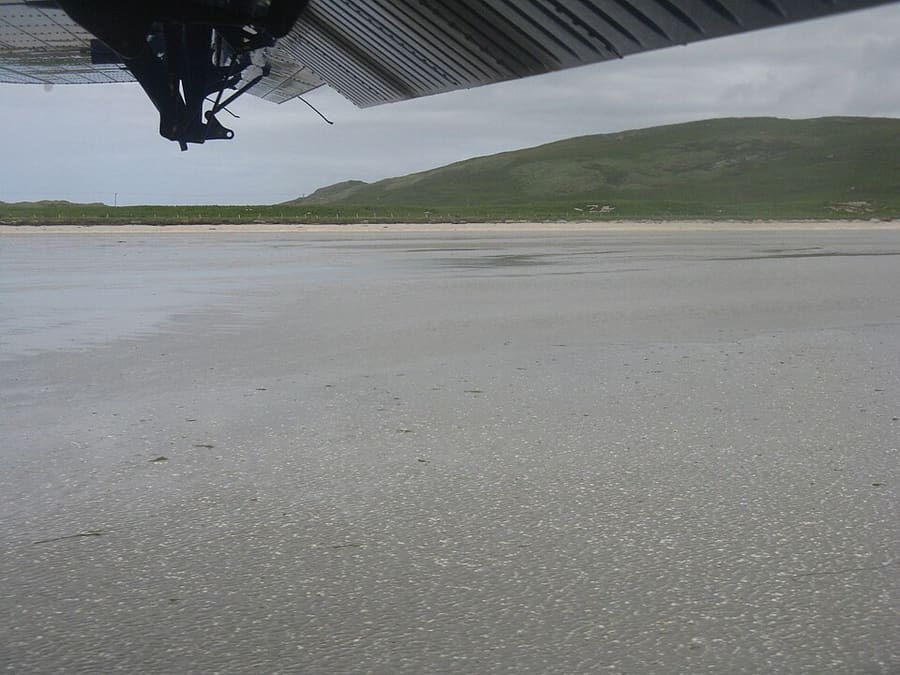
| Barra Airport | Flights to Glasgow | Flights land on the beach at Tràigh Mhòr; the HIAL board (2 Nov 2026) listed Glasgow services |
| Vatersay causeway | 公路 | A causeway carries the road from Barra to Vatersay |
Walking from nearby areas
- The Uists & Benbecula: 52.6 km from Barra & Vatersay, better by public transport
- Isle of Harris & Tarbert: 112.6 km from Barra & Vatersay, better by public transport
- Isle of Lewis & Stornoway: 154.1 km from Barra & Vatersay, better by public transport
Reaching The Outer Hebrides
官方出行信息
Five CalMac routes link the Outer Hebrides with the mainland and Skye, and Highlands and Islands Airports run the airports at Stornoway, Benbecula and Barra. Vehicle space on the ferries is limited, so book ahead and check service status before you travel.
- CalMac → — ferries, timetables and service status
- Highlands and Islands Airports (HIAL) → — Stornoway, Benbecula and Barra airports
- Visit Outer Hebrides → — the islands' tourism site
- Comhairle nan Eilean Siar → — the Western Isles Council
- VisitScotland →——国家旅游网站
- Traveline Scotland → — bus and ferry journey planner
- Historic Environment Scotland → — Calanais, Dun Carloway, Arnol, Rodel and Kisimul
- Scottish Outdoor Access Code → — responsible access on croft land and beaches
班次时间、票价和运营中断情况可能变动:请通过上方运营方页面查看实时信息。
在此规划行程
Enter your starting point and Google Maps will show routes to Barra & Vatersay. Public transport is selected; change it on the map. Check operator sites for live disruption.
While you are here
Things to see in Barra & Vatersay
A few of the sights in the area. The Things to do page lists them all, with directions and official links.
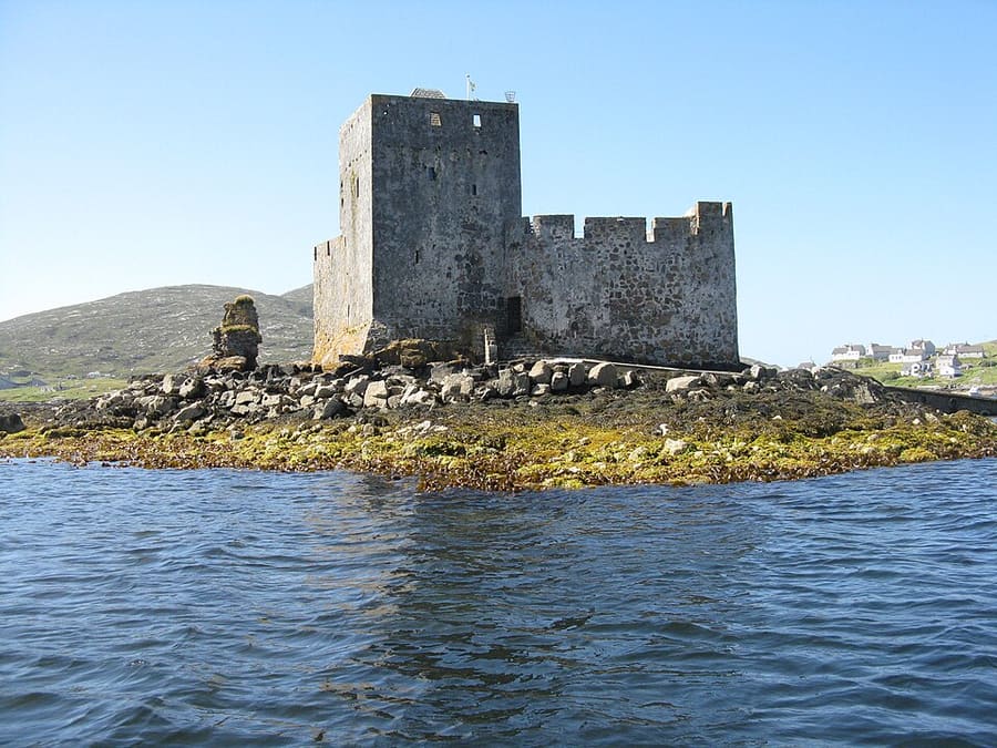
Kisimul Castle
Medieval castle on a rock in Castlebay, seat of the chief of Clan Macneil, reached by a short boat trip from the village.
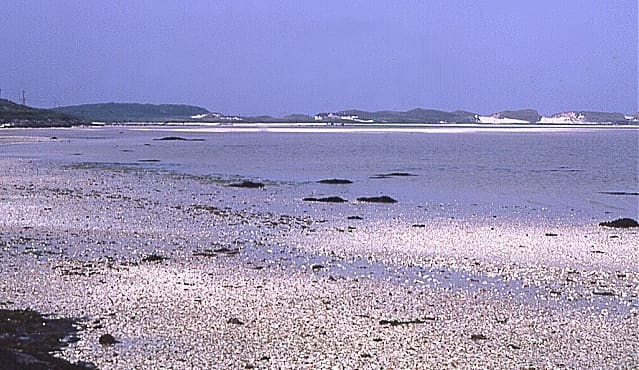
Tràigh Mhòr
Wide shallow bay of cockle sand at the north end of Barra that doubles as the airport runway.
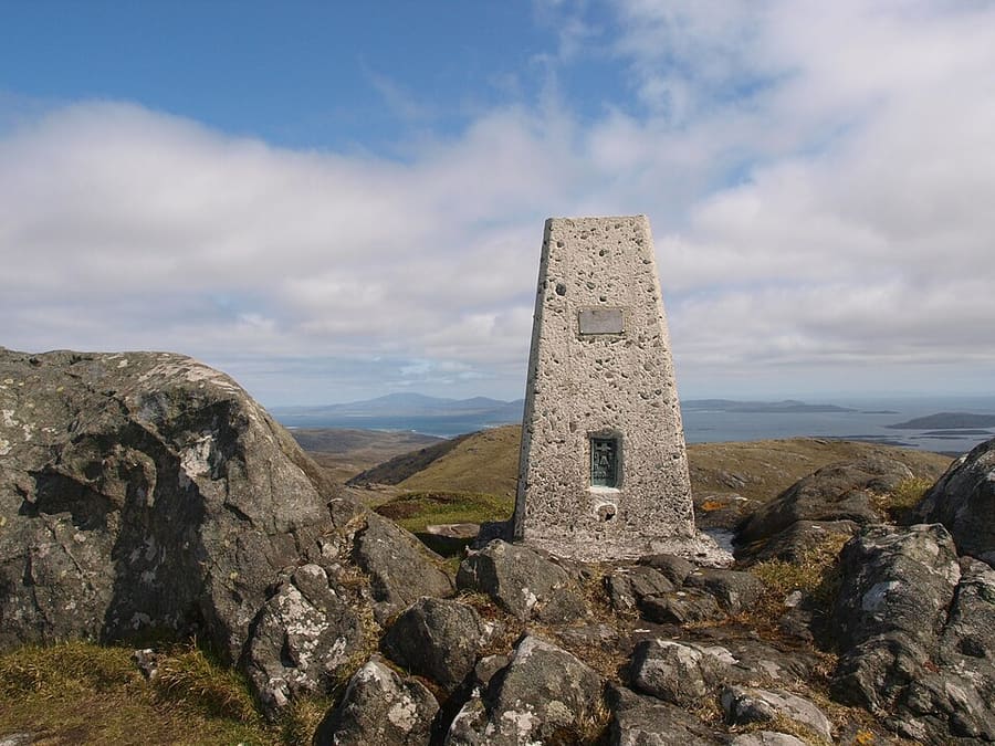
Heaval
Highest hill on Barra at 383 metres, about 1.5 km north-east of Castlebay, with views south over the Barra Isles.
The Outer Hebrides
More areas to explore
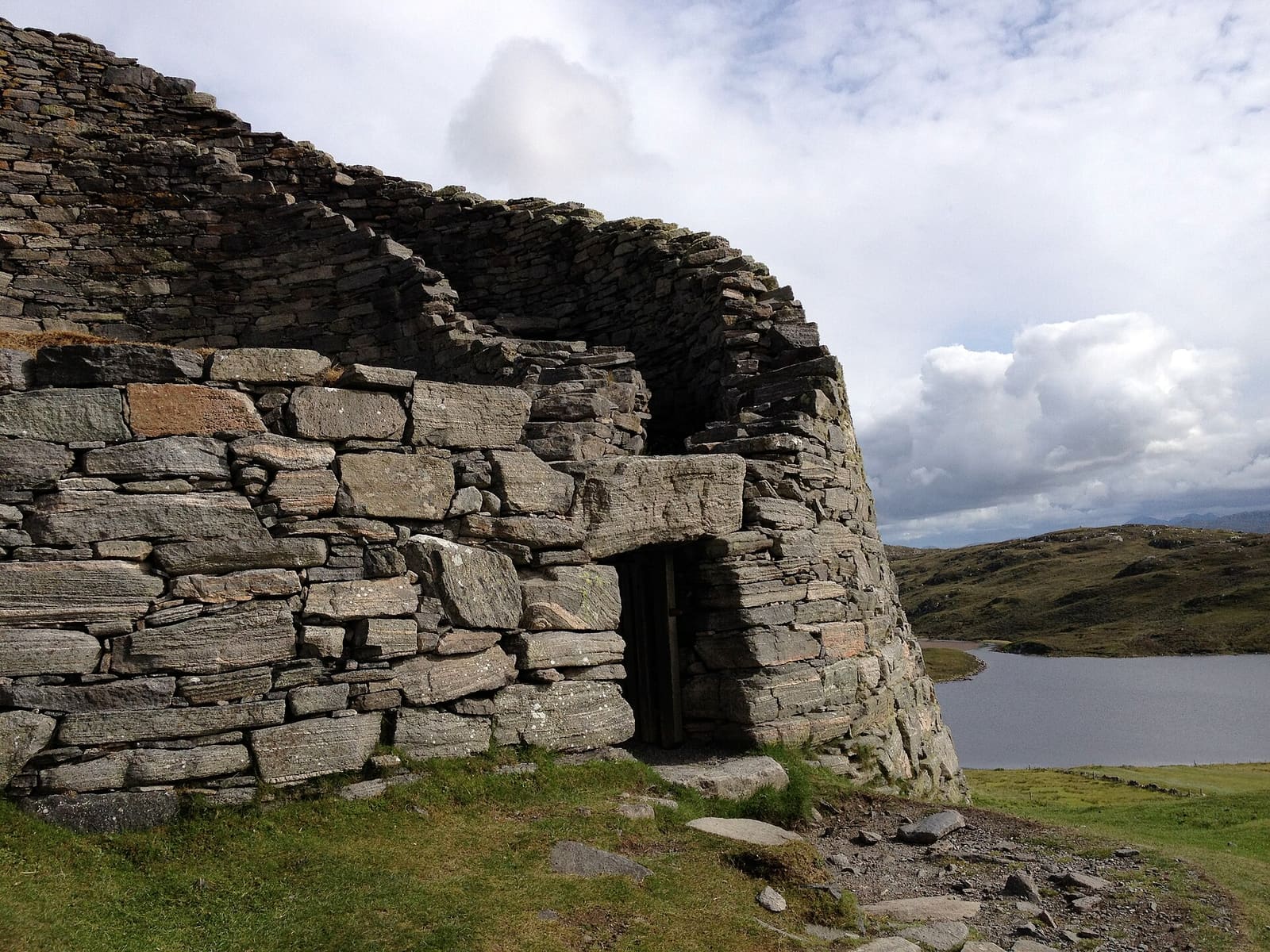
Isle of Lewis & Stornoway
Stornoway, the Calanais Stones, blackhouses and the Butt of Lewis
打开迷你指南 →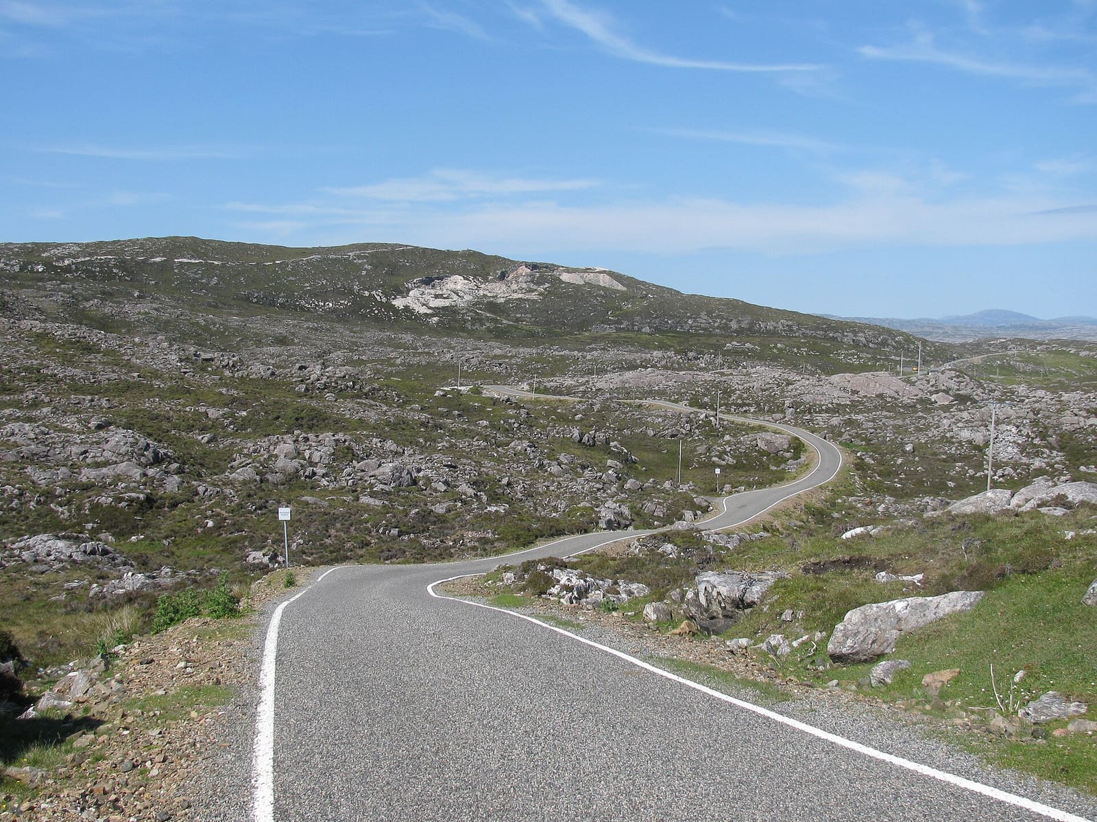
Isle of Harris & Tarbert
White beaches, the Bays, Tarbert and the church at Rodel
打开迷你指南 →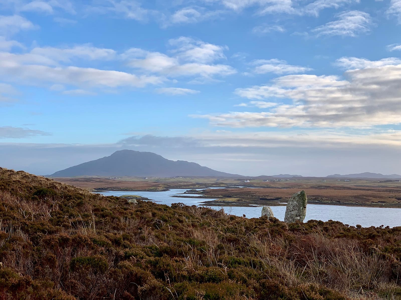
The Uists & Benbecula
Machair, chambered cairns and causeways from Berneray to Eriskay
打开迷你指南 →图片来源
- Barra Airport: M J Richardson, CC BY-SA 2.0, source
- Barra & Vatersay (area photo): Conor Lawless from North Uist, United Kingdom, CC BY 2.0, source
- Kisimul Castle: M J Richardson, CC BY-SA 2.0, source
- Tràigh Mhòr: Anne Burgess, CC BY-SA 2.0, source
- Heaval: Steve Houldsworth, CC BY-SA 2.0, source
- Isle of Lewis & Stornoway: LornaMCampbell, CC BY-SA 4.0, source
- Isle of Harris & Tarbert: Zenit, CC BY-SA 3.0, source
- The Uists & Benbecula: Helen Spencer, CC BY-SA 4.0, source
Photos from Wikimedia Commons, used under the licences shown. All photo credits
Keep exploring The Outer Hebrides