 English (UK)
 English (US)
 Français
 Deutsch
 Español
 Italiano
 Nederlands
 简体中文
迷你指南:
Wollaton, Lenton and University Park: getting there
Stops, stations and how to reach Wollaton, Lenton and University Park
站点与车站
Getting to Wollaton, Lenton and University Park
请选择离目的地最近的站点。
| 站点或车站 | 服务 | 适合 |
|---|---|---|
| University of Nottingham | NET tram | Tram stop on University Boulevard, by University Park and Highfields |
| Queens Medical Centre | NET tram | Tram stop at the hospital, between Lenton and University Park |
| Gregory Street | NET tram | Tram stop in Lenton |
| Wollaton Hall | Bus or taxi | The hall suggests planning the journey with Traveline East Midlands |
Within walking range
Stations near Wollaton, Lenton and University Park
Stations and stops mapped in OpenStreetMap within 2.5 km of the centre of Wollaton, Lenton and University Park, nearest first. Distances are straight lines; walking times assume 5 km/h and are a minimum.
| Station or stop | 类型 | 距离 | 步行 |
|---|---|---|---|
| University Boulevard | Tram stop | 1.4 km | about 17 min |
| NG2 | Tram stop | 2.1 km | about 25 min |
| Middle Street | Tram stop | 2.1 km | about 25 min |
Station data: © OpenStreetMap contributors (ODbL), read 3 November 2026. Check step-free access with the operator before you travel.
Walking from nearby areas
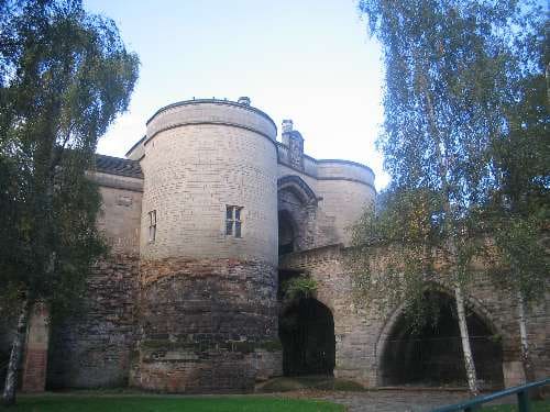
- Castle and Old Market Square: 3.0 km from Wollaton, Lenton and University Park, about 36 min on foot
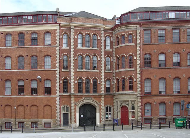
- Lace Market, Hockley and Sneinton: 3.6 km from Wollaton, Lenton and University Park, about 43 min on foot
Reaching Nottingham
官方出行信息
Nottingham has a main-line station a short walk from the centre, trams across the city and a bus link to East Midlands Airport. Always check the operator for current times, fares and disruption.
- National Rail: Nottingham station → — facilities, step-free access and departures
- Nottingham Express Transit → — tram stops, timetables and tickets
- East Midlands Airport: by bus → — Skylink buses to Nottingham
- Visit Nottinghamshire → — official visitor information
班次时间、票价和运营中断情况可能变动:请通过上方运营方页面查看实时信息。
在此规划行程
Enter your starting point and Google Maps will show routes to Wollaton, Lenton and University Park. Public transport is selected; change it on the map. Check operator sites for live disruption.
While you are here
Things to see in Wollaton, Lenton and University Park
A few of the sights in the area. The Things to do page lists them all, with directions and official links.
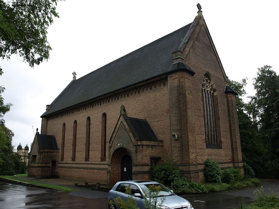
St Mary's Church, Wollaton Park
Grade II listed Church of England parish church in the Wollaton Park suburb.
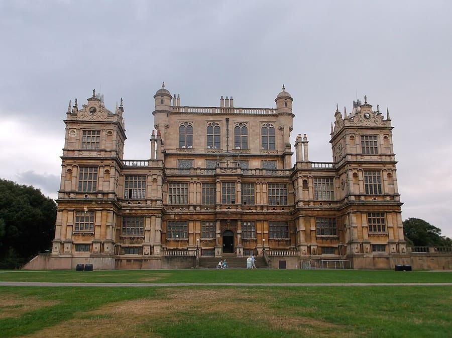
Wollaton Hall
Elizabethan house of the 1580s on a hill in Wollaton Park, now Nottingham's Natural History Museum.
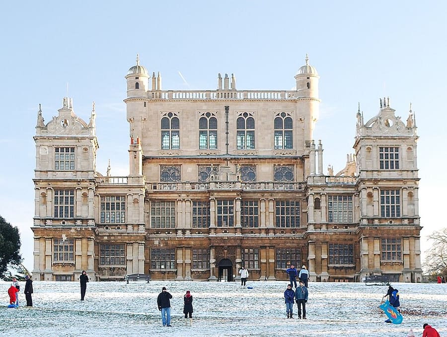
Wollaton Park
Grade II listed 500-acre park around the hall, with herds of red and fallow deer and gardens.
Nottingham
More areas to explore
图片来源
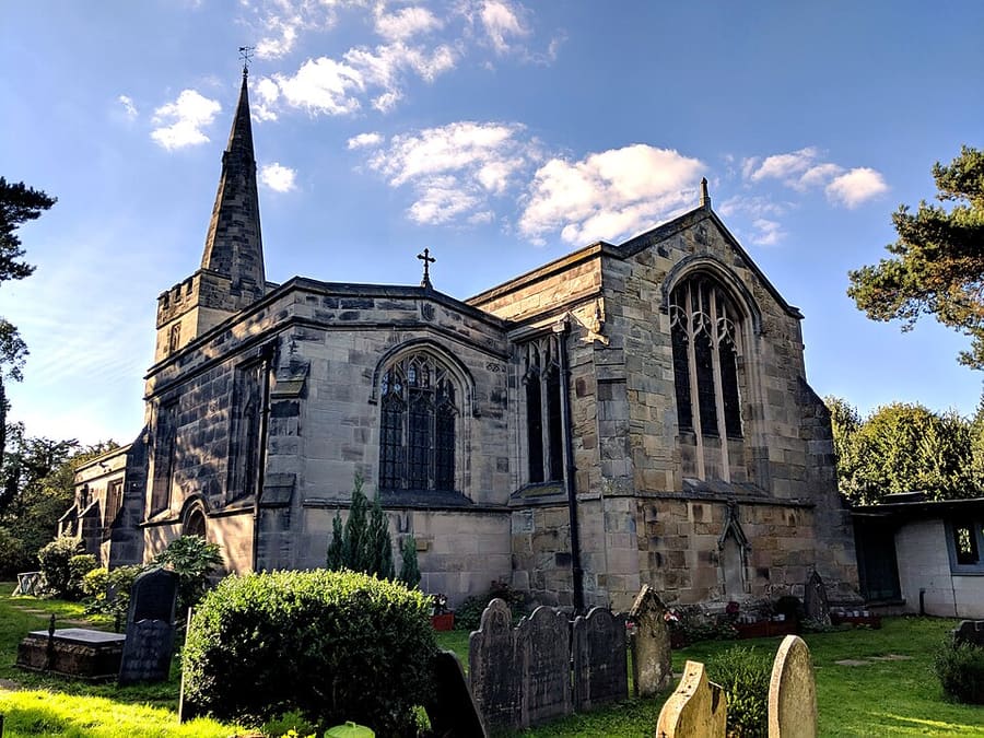
- St Leonard's Church, Wollaton: Enchufla Con Clave, CC BY-SA 4.0, source
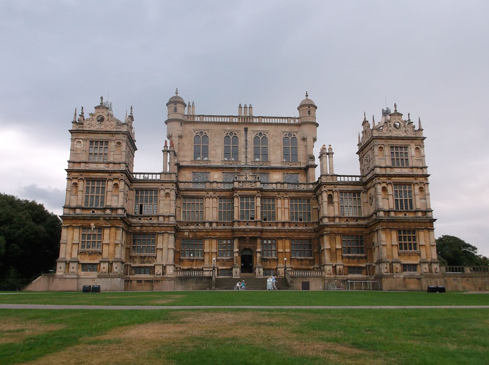
- Wollaton, Lenton and University Park (area photo): Harry Mitchell, CC BY-SA 3.0, source
- St Mary's Church, Wollaton Park: Andrewrabbott (talk), Public domain, source
- Wollaton Hall: Harry Mitchell, CC BY-SA 3.0, source
- Wollaton Park: NotFromUtrecht, CC BY-SA 3.0, source
- Castle and Old Market Square: Cosmicutencil, CC0, source
- Lace Market, Hockley and Sneinton: Alan Murray-Rust, CC BY-SA 2.0, source
Photos from Wikimedia Commons, used under the licences shown. All photo credits
Keep exploring Nottingham