 English (UK)
 English (US)
 Français
 Deutsch
 Español
 Italiano
 Nederlands
 简体中文
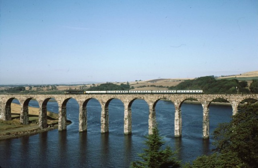
迷你指南:
Berwick-upon-Tweed: getting there
Stops, stations and how to reach Berwick-upon-Tweed
站点与车站
Getting to Berwick-upon-Tweed
请选择离目的地最近的站点。
| 站点或车站 | 服务 | 适合 |
|---|---|---|
| Berwick-upon-Tweed station | East Coast Main Line | Next to the castle remains, a short walk from the town centre |
| Buses to Holy Island | Travelsure, Arriva or Glen Valley | Times depend on the tide; Berwick Tourist Information Centre has details |
Within walking range
Stations near Berwick-upon-Tweed
Stations and stops mapped in OpenStreetMap within 2.5 km of the centre of Berwick-upon-Tweed, nearest first. Distances are straight lines; walking times assume 5 km/h and are a minimum.
| Station or stop | 类型 | 距离 | 步行 |
|---|---|---|---|
| Berwick-upon-Tweed | Rail station (London North Eastern Railway) | 600 m | about 8 min |
Station data: © OpenStreetMap contributors (ODbL), read 3 November 2026. Check step-free access with the operator before you travel.
Walking from nearby areas
- Holy Island & the causeway coast: 16.0 km from Berwick-upon-Tweed, better by public transport
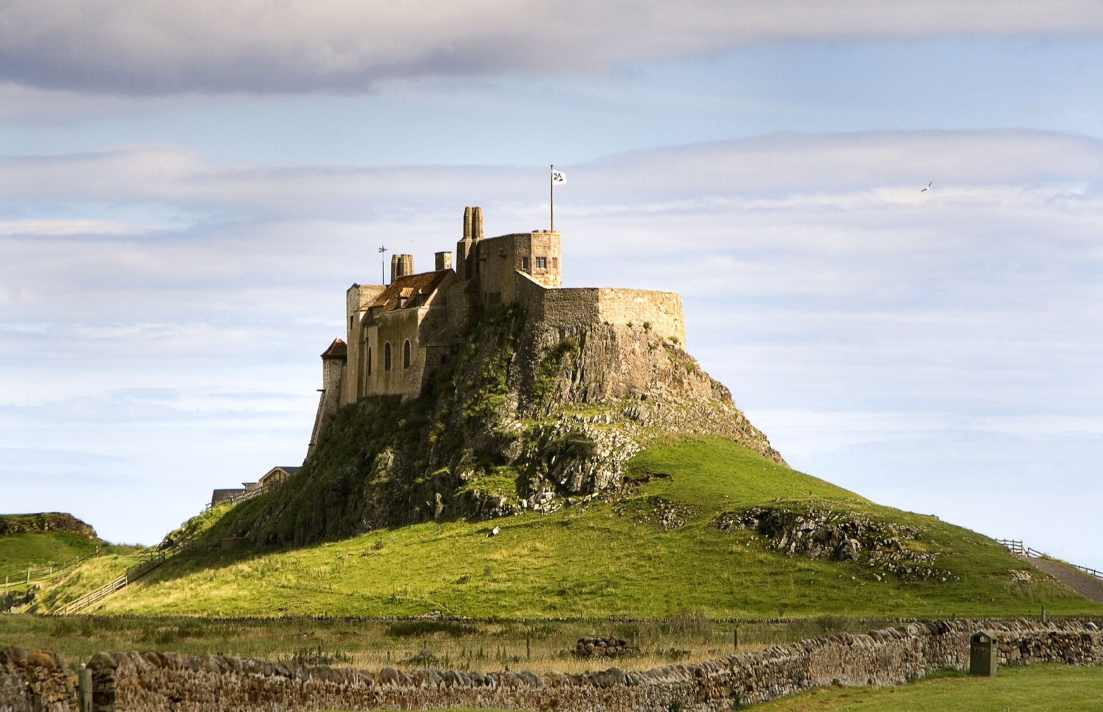
Reaching Lindisfarne (Holy Island)
官方出行信息
Every trip to Holy Island depends on the tide. Check Northumberland County Council's safe crossing times before you set off and allow 30 minutes extra, as the council advises. There is no charge to visit the island, but tickets are needed for the castle and the priory.
- Northumberland County Council: Holy Island safe crossing times → — tide table for the causeway road
- Visit Northumberland: Holy Island → — tourism board guide and FAQs
- English Heritage: Lindisfarne Priory → — opening times, tickets and car-free discount
- National Trust: Lindisfarne Castle → — the site refused our automated check; open it to confirm times
班次时间、票价和运营中断情况可能变动:请通过上方运营方页面查看实时信息。
在此规划行程
Enter your starting point and Google Maps will show routes to Berwick-upon-Tweed. Public transport is selected; change it on the map. Check operator sites for live disruption.
While you are here
Things to see in Berwick-upon-Tweed
A few of the sights in the area. The Things to do page lists them all, with directions and official links.
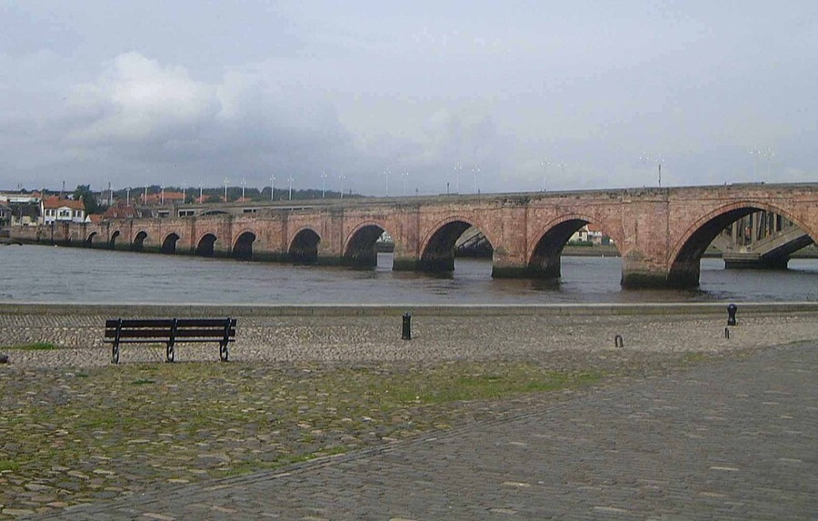
Berwick Bridge
Grade I listed stone bridge over the Tweed built between 1611 and 1624, also called the Old Bridge.
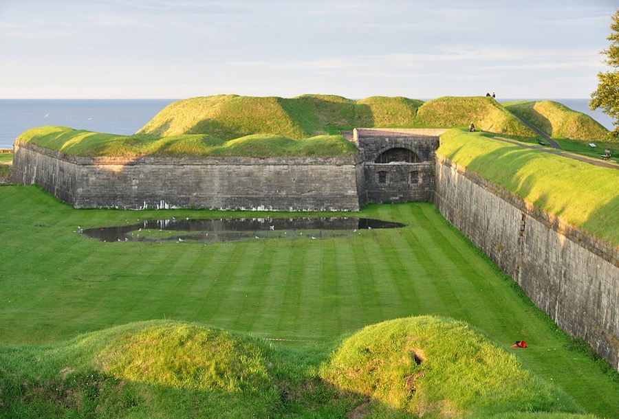
Berwick town walls
Defences around the old town; you can walk much of the circuit on top of the ramparts, looked after by English Heritage.
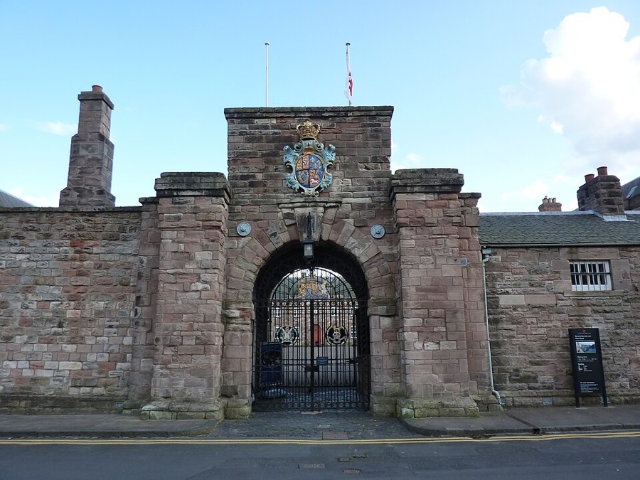
Berwick Barracks
Former army barracks, also called Ravensdowne Barracks, with the King's Own Scottish Borderers regimental museum.
Lindisfarne (Holy Island)
More areas to explore
图片来源
- Royal Border Bridge: Whatlep, CC BY-SA 2.0, source
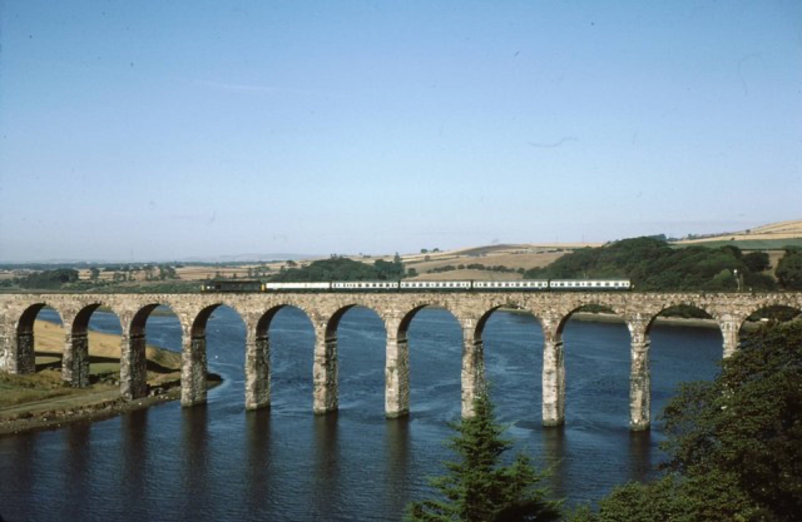
- Berwick-upon-Tweed (area photo): Whatlep, CC BY-SA 2.0, source
- Berwick Bridge: Mick Knapton at English Wikipedia, CC BY-SA 3.0, source
- Berwick town walls: Nilfanion, CC BY-SA 3.0, source
- Berwick Barracks: Andrew Bowden from London, United Kingdon, CC BY-SA 2.0, source
- Holy Island & the causeway coast: matthew Hunt, CC BY 2.0, source
Photos from Wikimedia Commons, used under the licences shown. All photo credits
Keep exploring Lindisfarne (Holy Island)