 English (UK)
 English (US)
 Français
 Deutsch
 Español
 Italiano
 Nederlands
 简体中文
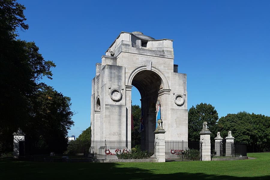
迷你指南:
Leicester city centre: getting there
Stops, stations and how to reach Leicester city centre
站点与车站
Getting to Leicester city centre
请选择离目的地最近的站点。
| 站点或车站 | 服务 | 适合 |
|---|---|---|
| Leicester station | East Midlands Railway and CrossCountry | Direct trains from London St Pancras; on the edge of the city centre |
| Haymarket Bus Station | Arriva, First Bus and Centrebus | 23 departure bays; a free city-centre bus also links the station and attractions, says Visit Leicester |
| Skylink | East Midlands Airport bus | Every 20 minutes by day and hourly at night, according to Visit Leicester |
Within walking range
Stations near Leicester city centre
Stations and stops mapped in OpenStreetMap within 2.5 km of the centre of Leicester city centre, nearest first. Distances are straight lines; walking times assume 5 km/h and are a minimum.
| Station or stop | 类型 | 距离 | 步行 |
|---|---|---|---|
| St. Margaret's Bus Station | Bus or coach station | 600 m | about 7 min |
| Leicester | Rail station (East Midlands Railway) | 600 m | about 7 min |
Station data: © OpenStreetMap contributors (ODbL), read 3 November 2026. Check step-free access with the operator before you travel.
Reaching Leicester
官方出行信息
Leicester station is on the edge of the city centre, on the East Midlands Railway line from London St Pancras. The nearest airports are East Midlands (about 20 miles) and Birmingham (about 37 miles). Check operators for times and fares.
- Visit Leicester → — official tourism site for Leicester and Leicestershire
- Leicester Museums → — council museums: Museum & Art Gallery, Guildhall, Newarke Houses, Abbey Pumping Station
- Leicester Cathedral → — tomb of Richard III, services and visiting
班次时间、票价和运营中断情况可能变动:请通过上方运营方页面查看实时信息。
在此规划行程
Enter your starting point and Google Maps will show routes to Leicester city centre. Public transport is selected; change it on the map. Check operator sites for live disruption.
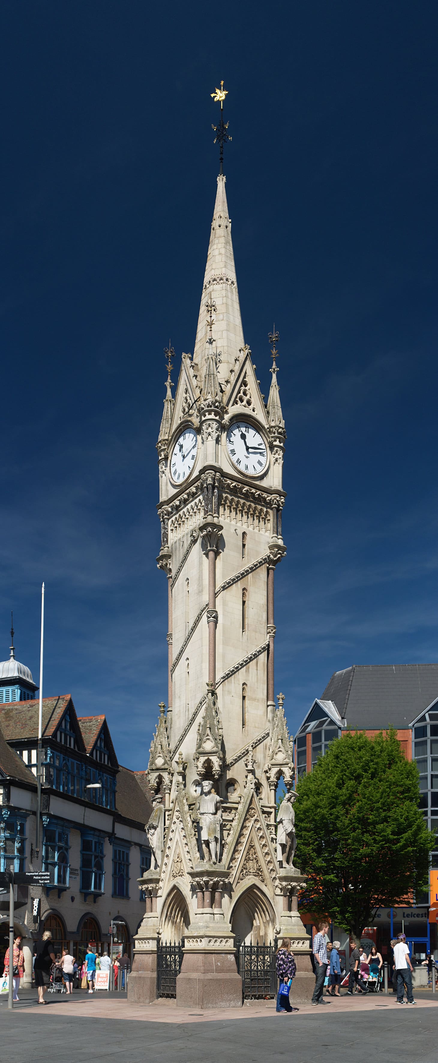
While you are here
Things to see in Leicester city centre
A few of the sights in the area. The Things to do page lists them all, with directions and official links.
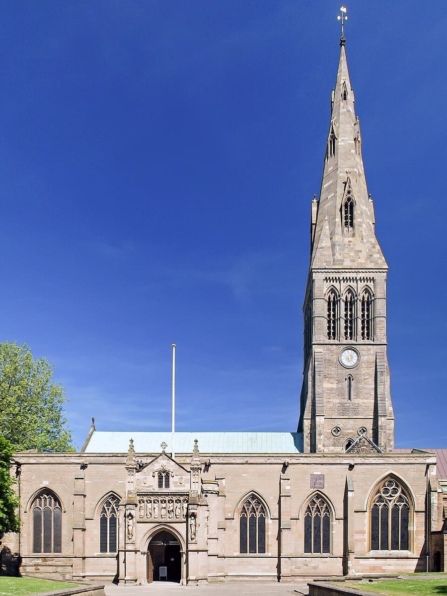
Leicester Cathedral
Medieval church of St Martin, a cathedral since 1927; King Richard III was reburied here in 2015, 530 years after his death.
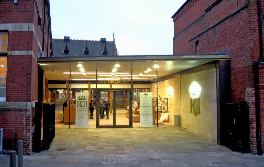
King Richard III Visitor Centre
Museum opened in 2014 on the site of the Greyfriars friary, where Richard III was buried in 1485 and his remains were found in 2012.
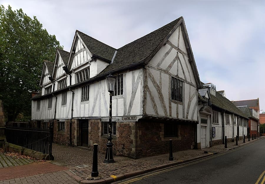
Leicester Guildhall
Timber-framed hall whose earliest part dates from about 1390; it was the town hall until 1876 and is now a museum.
图片来源
- Arch of Remembrance: NotFromUtrecht, CC BY-SA 3.0, source
- Leicester city centre (area photo): NotFromUtrecht, CC BY-SA 3.0, source
- Leicester Cathedral: NotFromUtrecht, CC BY-SA 3.0, source
- King Richard III Visitor Centre: RobinLeicester, CC BY-SA 4.0, source
- Leicester Guildhall: NotFromUtrecht, CC BY-SA 3.0, source
Photos from Wikimedia Commons, used under the licences shown. All photo credits
Keep exploring Leicester