 English (UK)
 English (US)
 Français
 Deutsch
 Español
 Italiano
 Nederlands
 简体中文
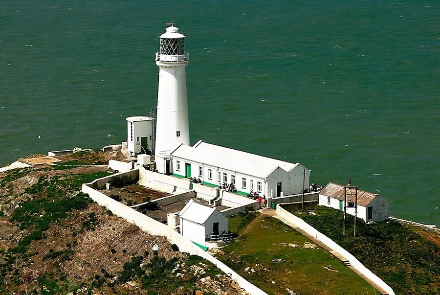
迷你指南:
Holyhead & Holy Island: getting there
Stops, stations and how to reach Holyhead & Holy Island
站点与车站
Getting to Holyhead & Holy Island
请选择离目的地最近的站点。
| 站点或车站 | 服务 | 适合 |
|---|---|---|
| Holyhead station | 铁路 | Transport for Wales and Avanti West Coast trains; the ferry terminal is about a two-minute walk |
| Port of Holyhead | Ferries to Dublin | Stena Line and Irish Ferries; a valid passport or Irish passport card is needed from 28 September 2026 |
| Valley and Rhosneigr | 铁路 | Smaller stations on the line across Anglesey, for Four Mile Bridge and the south-west coast |
| A55 | 汽车 | Dual carriageway from the Britannia Bridge to the port |
Within walking range
Stations near Holyhead & Holy Island
Stations and stops mapped in OpenStreetMap within 2.5 km of the centre of Holyhead & Holy Island, nearest first. Distances are straight lines; walking times assume 5 km/h and are a minimum.
| Station or stop | 类型 | 距离 | 步行 |
|---|---|---|---|
| Holyhead | Rail station (Transport for Wales Rail) | 1.1 km | about 13 min |
Station data: © OpenStreetMap contributors (ODbL), read 3 November 2026. Check step-free access with the operator before you travel.
Walking from nearby areas
- Beaumaris, Menai Bridge & the east: 30.8 km from Holyhead & Holy Island, better by public transport
Reaching Anglesey
官方出行信息
Trains run along the North Wales coast to Holyhead, with stops at Llanfairpwll and other island stations; Bangor, just across the Menai Strait, is the nearest mainland station for Beaumaris and Menai Bridge. Holyhead is also the ferry port for Dublin. Check operators for current timetables and fares.
- Visit Anglesey → — Isle of Anglesey County Council's visitor site
- Transport for Wales: Holyhead station → — station facilities, step-free access and the ferry walk
- Stena Line: Holyhead to Dublin → — ferry timetable and booking
- Irish Ferries: Dublin to Holyhead → — ferry timetable and booking
- National Rail: Holyhead → — passport rule for Dublin ferries from 28 September 2026
- Traveline Cymru → — bus journey planner for Wales
班次时间、票价和运营中断情况可能变动:请通过上方运营方页面查看实时信息。
在此规划行程
Enter your starting point and Google Maps will show routes to Holyhead & Holy Island. Public transport is selected; change it on the map. Check operator sites for live disruption.
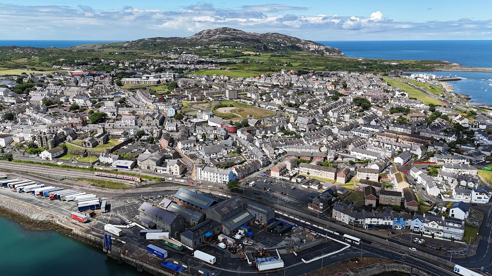
While you are here
Things to see in Holyhead & Holy Island
A few of the sights in the area. The Things to do page lists them all, with directions and official links.
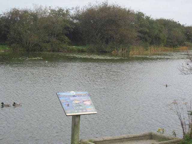
Holyhead Breakwater Country Park
Former quarry that supplied the stone for Holyhead Breakwater, opened as a park in 1990, with a lake, café and paths to Holyhead Mountain.
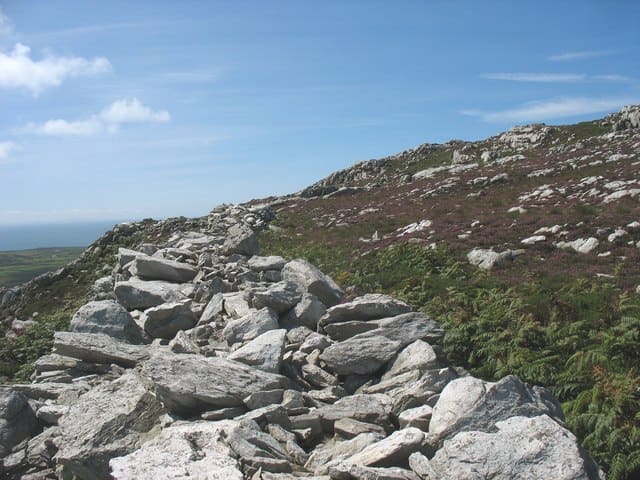
Holyhead Mountain and Caer y Twr
Highest point on Anglesey, topped by an Iron Age hillfort with ramparts up to 3 m high and a late Roman watchtower site.

St Cybi's Church and Caer Gybi
Grade I listed medieval church inside the walls of Caer Gybi, a small 3rd-century Roman fort in the town centre.
图片来源
- South Stack Lighthouse: Denis Egan, CC BY 2.0, source
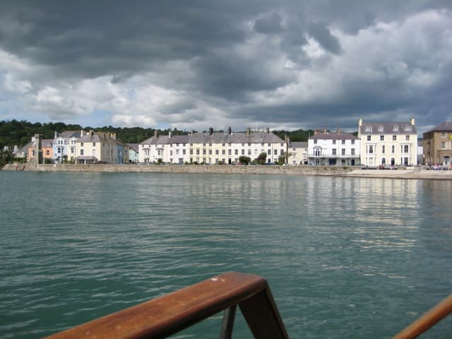
- Holyhead & Holy Island (area photo): 瑞丽江的河水, CC BY-SA 4.0, source
- Holyhead Breakwater Country Park: John Firth, CC BY-SA 2.0, source
- Holyhead Mountain and Caer y Twr: Eric Jones, CC BY-SA 2.0, source
- St Cybi's Church and Caer Gybi: Eric Jones, CC BY-SA 2.0, source
- Beaumaris, Menai Bridge & the east: Ron Galliers, CC BY-SA 2.0, source
Photos from Wikimedia Commons, used under the licences shown. All photo credits
Keep exploring Anglesey