 English (UK)
 English (US)
 Français
 Deutsch
 Español
 Italiano
 Nederlands
 简体中文
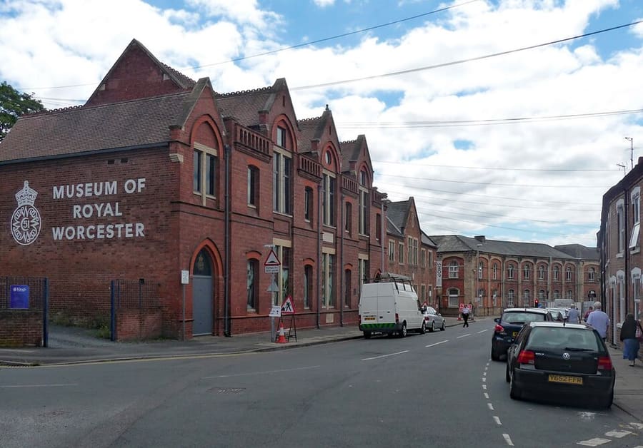
A mini guide to
Worcester city centre: getting there
Stops, stations and how to reach Worcester city centre
Stops and stations
Getting to Worcester city centre
Choose the stop closest to where you are going.
| Stop or station | Services | Good for |
|---|---|---|
| Worcester Foregate Street | Great Western Railway and West Midlands Railway | North of the cathedral; served by the Birmingham New Street to Hereford line |
| Worcester Shrub Hill | Great Western Railway and West Midlands Railway | East of the centre |
Within walking range
Stations near Worcester city centre
Stations and stops mapped in OpenStreetMap within 2.5 km of the centre of Worcester city centre, nearest first. Distances are straight lines; walking times assume 5 km/h and are a minimum.
| Station or stop | Type | Distance | On foot |
|---|---|---|---|
| Crowngate Bus Station | Bus or coach station | 300 m | about 4 min |
Station data: © OpenStreetMap contributors (ODbL), read Nov 3, 2026. Check step-free access with the operator before you travel.
Reaching Worcester
Official travel information
Worcester has two central stations, Foregate Street and Shrub Hill, plus Worcestershire Parkway outside the city. Visit Worcestershire says Great Western Railway runs from London, Bristol, Oxford and Reading, and West Midlands Railway from Birmingham. Check operators for times and fares.
- Visit Worcestershire → — official tourism website
- Worcester Cathedral → — visiting and services
- Museums Worcestershire → — The Commandery and the city art gallery and museum
Times, fares and disruption change: use the operator pages above for live information.
Plan your journey here
Enter your starting point and Google Maps will show routes to Worcester city centre. Public transport is selected; change it on the map. Check operator sites for live disruption.
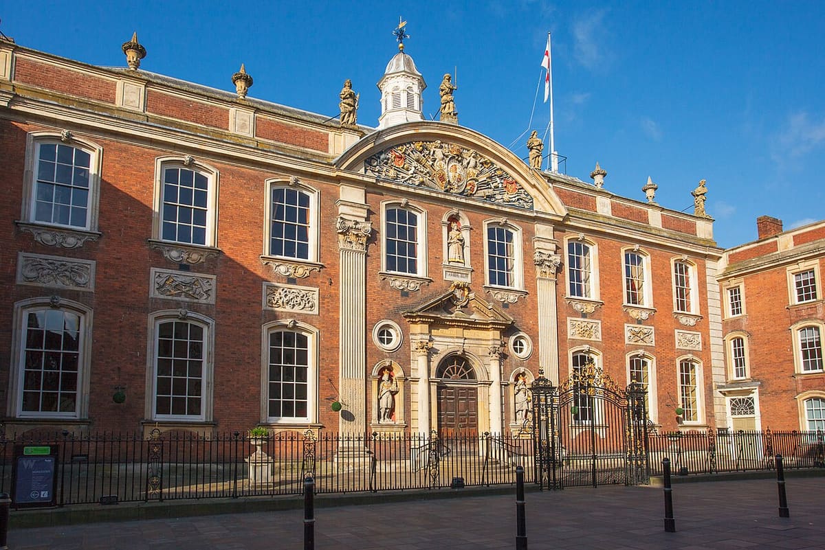
While you are here
Things to see in Worcester city centre
A few of the sights in the area. The Things to do page lists them all, with directions and official links.
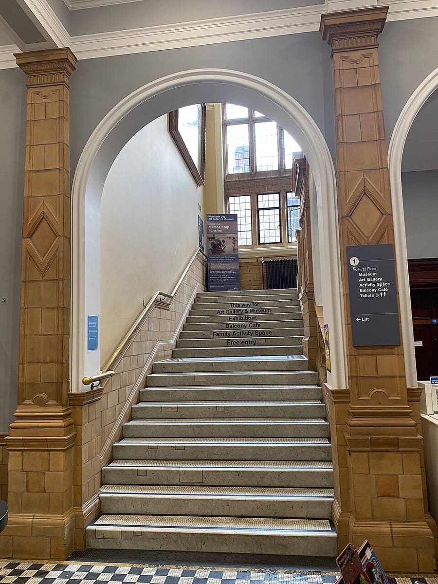
Worcester City Art Gallery & Museum
The city's art gallery and local museum, run by Museums Worcestershire.
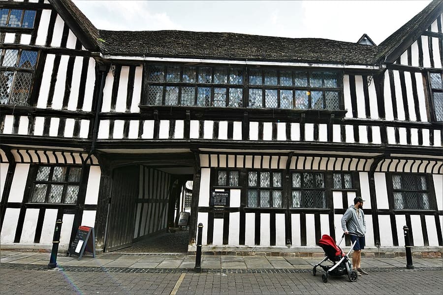
The Greyfriars
Grade I listed timber-framed house built around 1485 for the brewer Thomas Grene; owned by the National Trust since 1966.
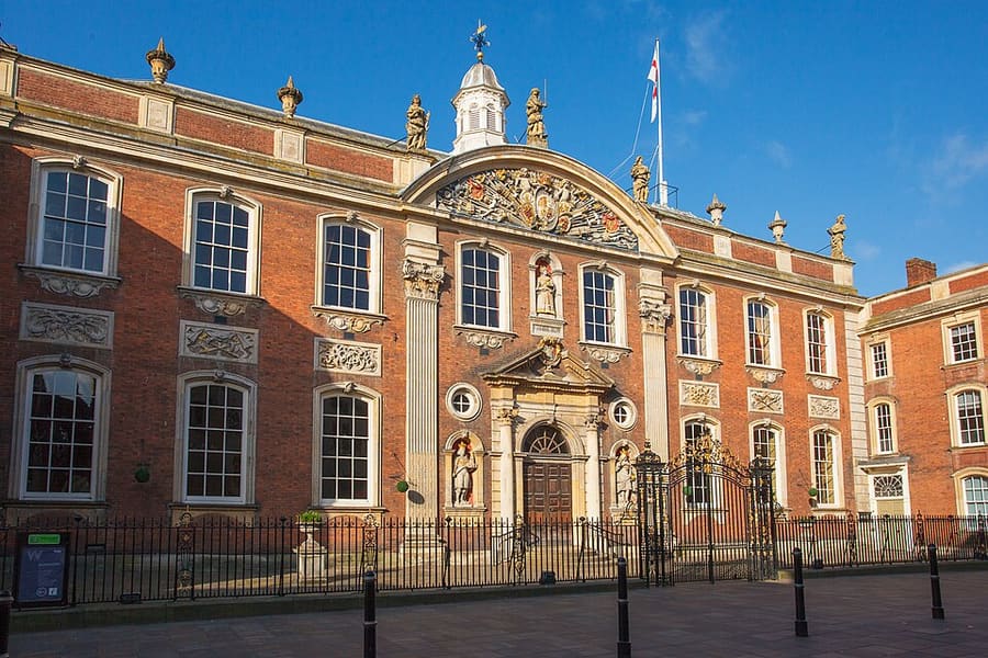
Worcester Guildhall
Grade I listed seat of the city council on the High Street, also used as a cultural venue.
Photo credits
- Museum of Royal Worcester: Stephen Richards, CC BY-SA 2.0, source
- Worcester city centre (area photo): Richard Nicholls, CC BY-SA 3.0, source
- Worcester City Art Gallery & Museum: No Swan So Fine, CC BY-SA 4.0, source
- The Greyfriars: Michael Garlick, CC BY-SA 2.0, source
- Worcester Guildhall: Richard Nicholls, CC BY-SA 3.0, source
Photos from Wikimedia Commons, used under the licences shown. All photo credits
Keep exploring Worcester