 English (UK)
 English (US)
 Français
 Deutsch
 Español
 Italiano
 Nederlands
 简体中文
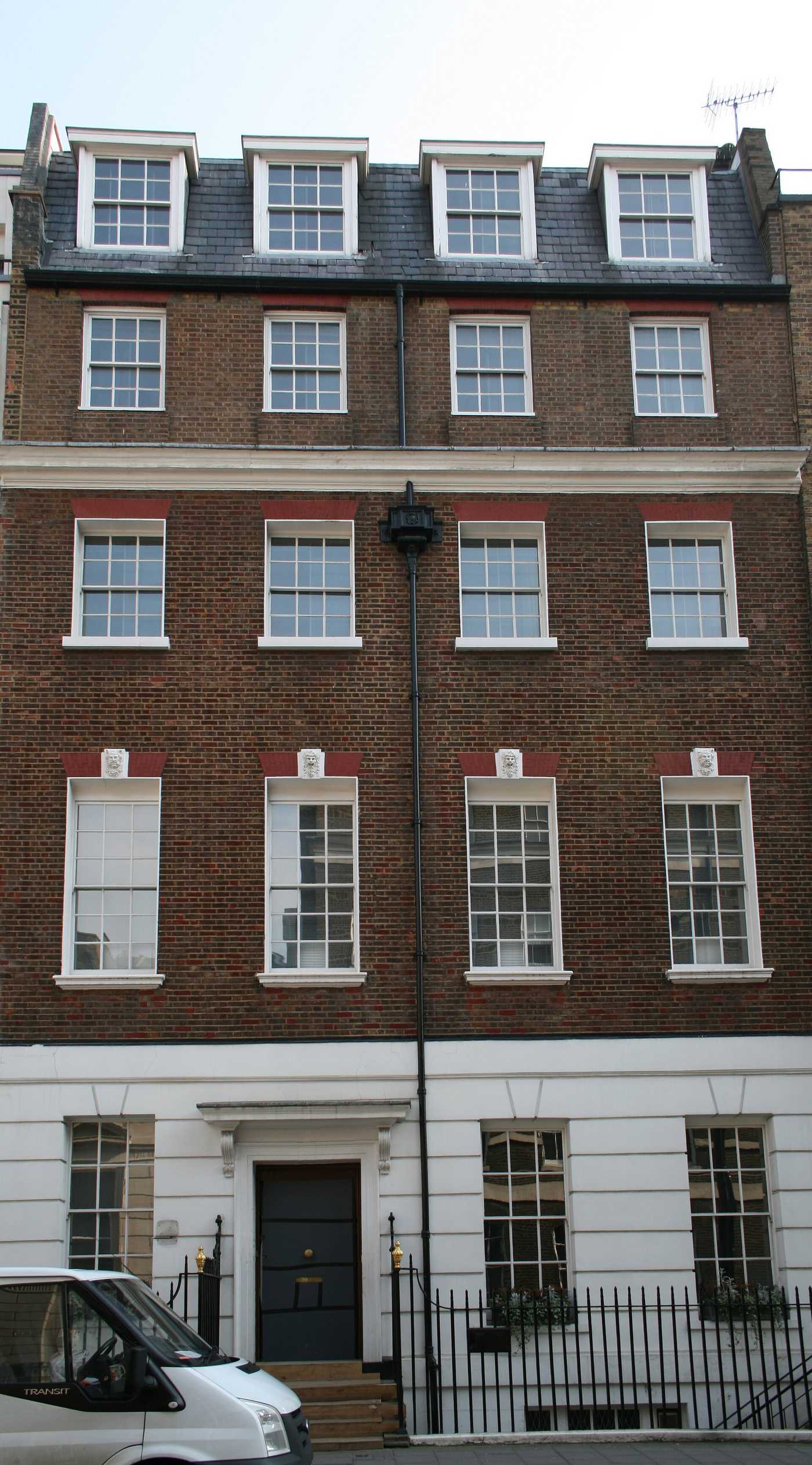 1Mayfair 3 Savile Row Rooftop concert, 1969 (view from outside)
The trail
6 stops, in order
From Mayfair to St John’s Wood, a few places on the Beatles map.
1Mayfair 3 Savile Row Rooftop concert, 1969 (view from outside) 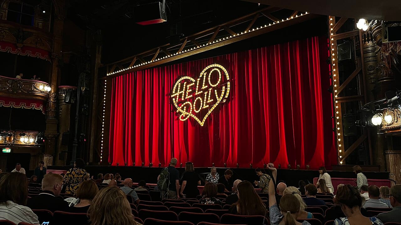 2Soho London Palladium 1963 TV appearance Directions
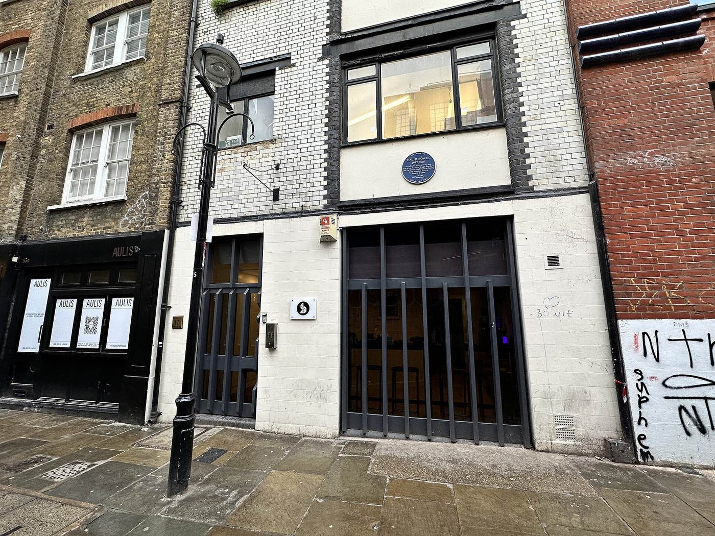 3Soho Trident Studios site Hey Jude sessions, 1968 (no marker, view from outside)
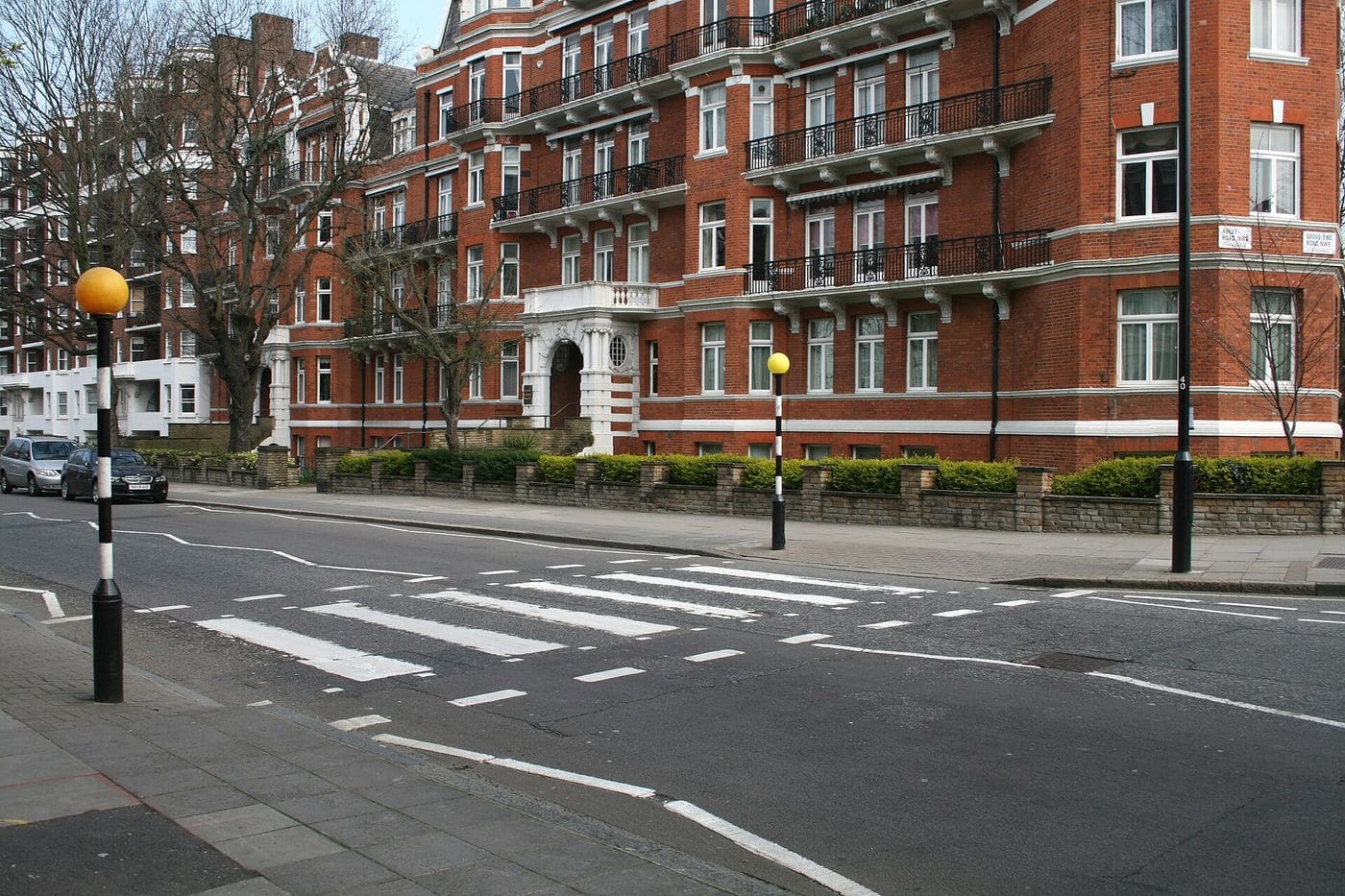
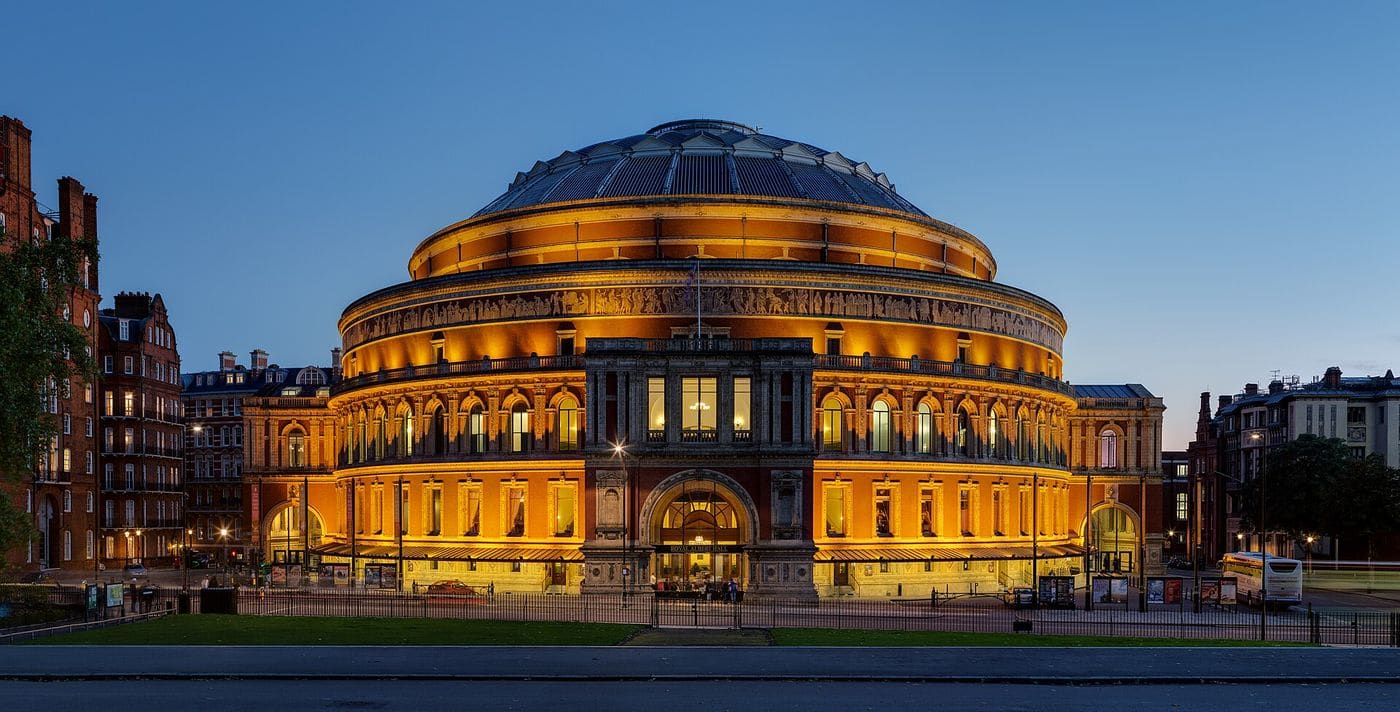 4Kensington Royal Albert Hall Named in A Day in the Life 5St John’s Wood Abbey Road crossing Famous album cover A live road, so take care
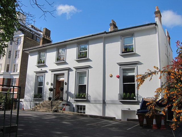 6St John’s Wood Abbey Road Studios Where they recorded (private, outside only)
Getting between stops
The route at a glance
- 13 Savile Row
- 7 min walk
- 2London Palladium
- 7 min walk
- 3Trident Studios site
- 2.1 miles (3.4 km), Tube or bus
- 4Royal Albert Hall
- 2.1 miles (3.4 km), Tube or bus
- 5Abbey Road crossing
- 1 min walk
- 6Abbey Road Studios
Times are rough estimates from straight-line distance. Check live journey times on the day.
Take it with you
Save this trail
Saved. Plan your days in My trip
More trails
Try another theme
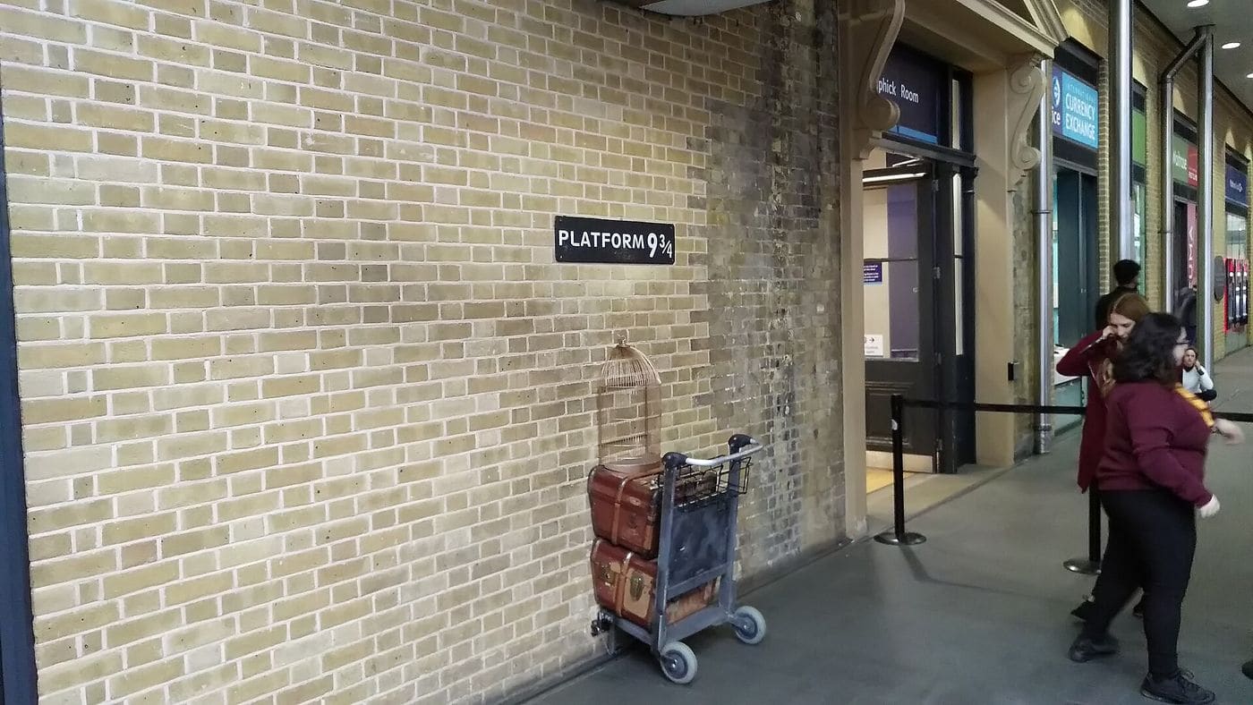
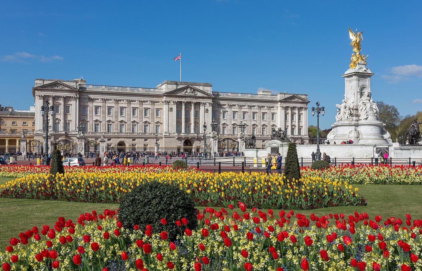
Photos: Misterweiss at English Wikipedia (Public domain); AbstractLakx (CC BY-SA 4.0); Diliff (CC BY-SA 3.0); Oast House Archive (CC BY-SA 2.0), via Wikimedia Commons. Other images are credited on the pages where they first appear. This trail is independent and unofficial.