 English (UK)
 English (US)
 Français
 Deutsch
 Español
 Italiano
 Nederlands
 简体中文
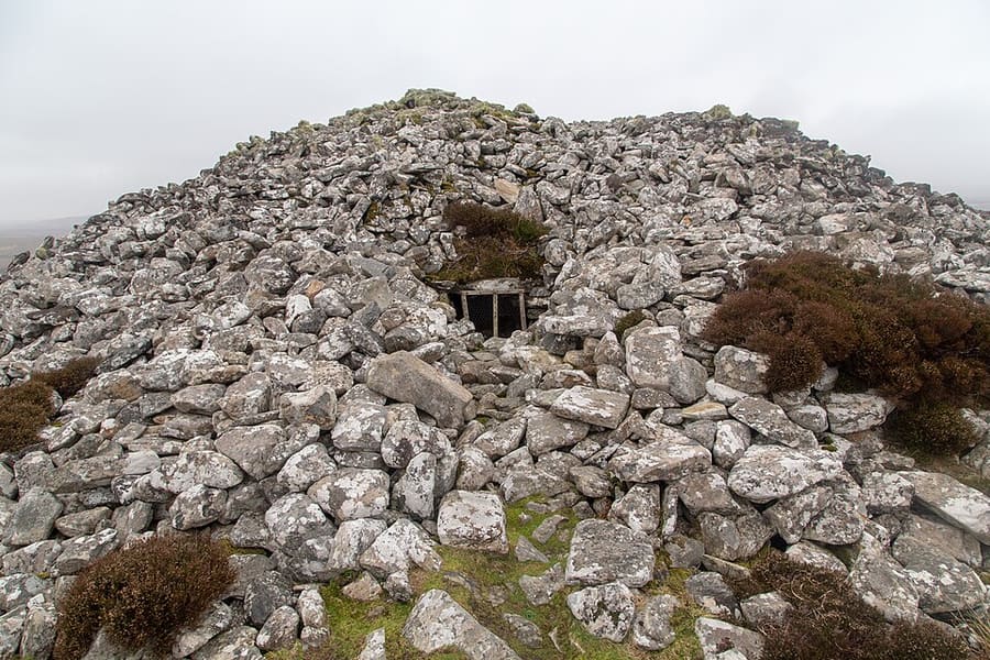
Chambered cairn
Barpa Langass
Neolithic chambered cairn about 5,000 years old, around 22 metres across and 5.5 metres high, on North Uist.
A mini guide to
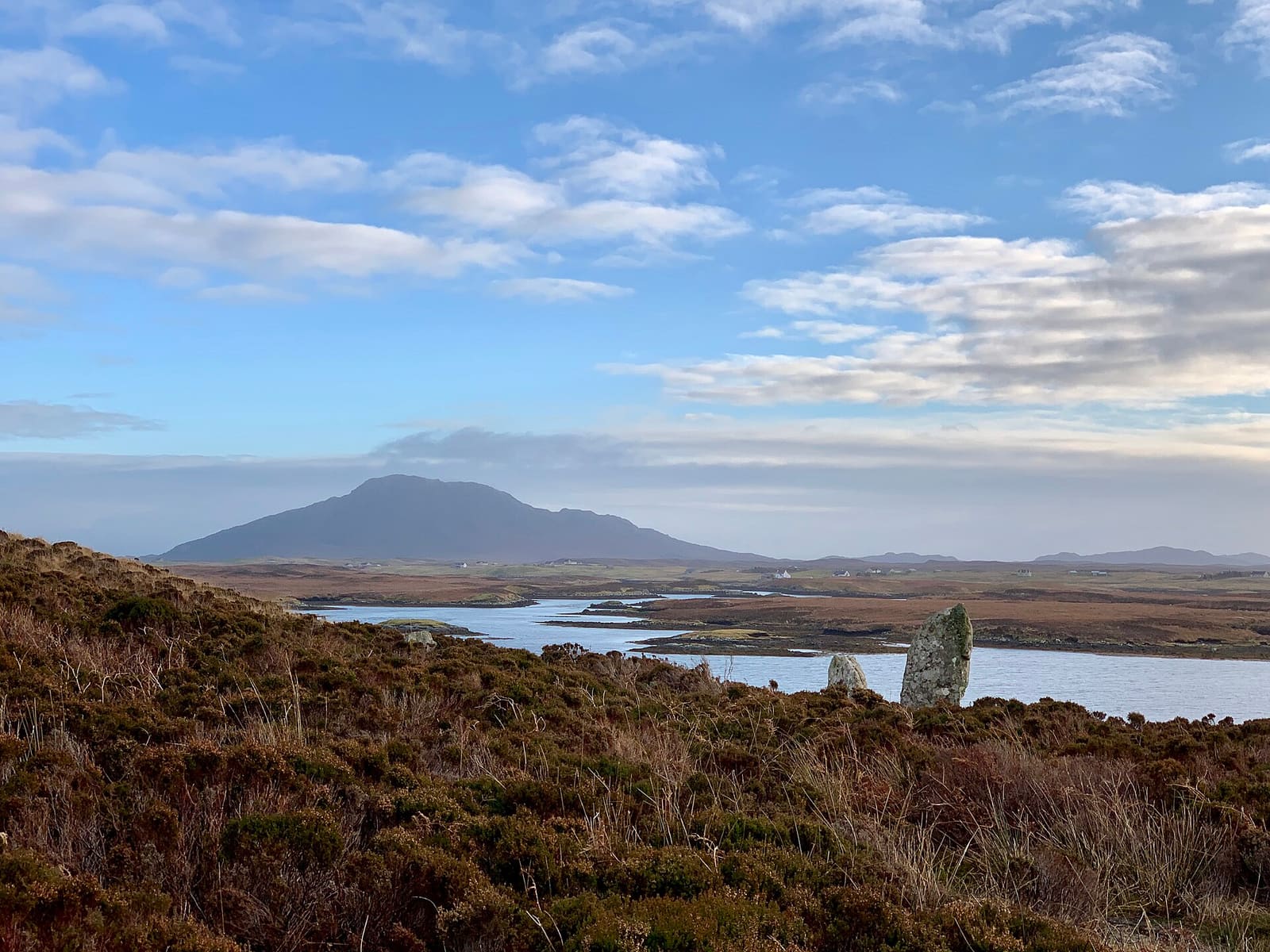
Machair, chambered cairns and causeways from Berneray to Eriskay
 1 / 8
Welcome to the area
North Uist, Benbecula and South Uist are joined by causeways, with Berneray to the north and Eriskay to the south, so you can drive the chain in a day. The west coasts are sandy beaches backed by machair, a low fertile grassland, and the east sides are hilly and almost empty; Beinn Mhòr, at 620 metres, is the highest point.
North Uist has the Neolithic cairn of Barpa Langass, the stone circle Pobull Fhinn and the RSPB reserve at Balranald. Benbecula has the airport and the ruins of Borve Castle. South Uist has Our Lady of the Isles, Kildonan Museum and the ruin of Ormacleit Castle, and on Eriskay Prince Charles Edward Stuart came ashore on 2 August 1745, at the start of the Jacobite rising.
Highlights
If you only have a few hours, these are good places to begin.
Neolithic chambered cairn about 5,000 years old, around 22 metres across and 5.5 metres high, on North Uist.
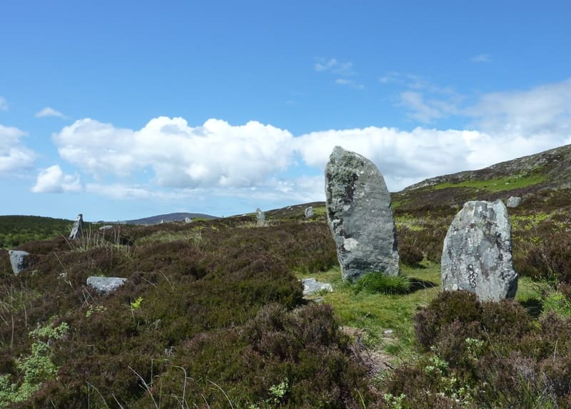
Prehistoric stone circle on North Uist near Langass; the Gaelic name can be translated as Fionn's people.
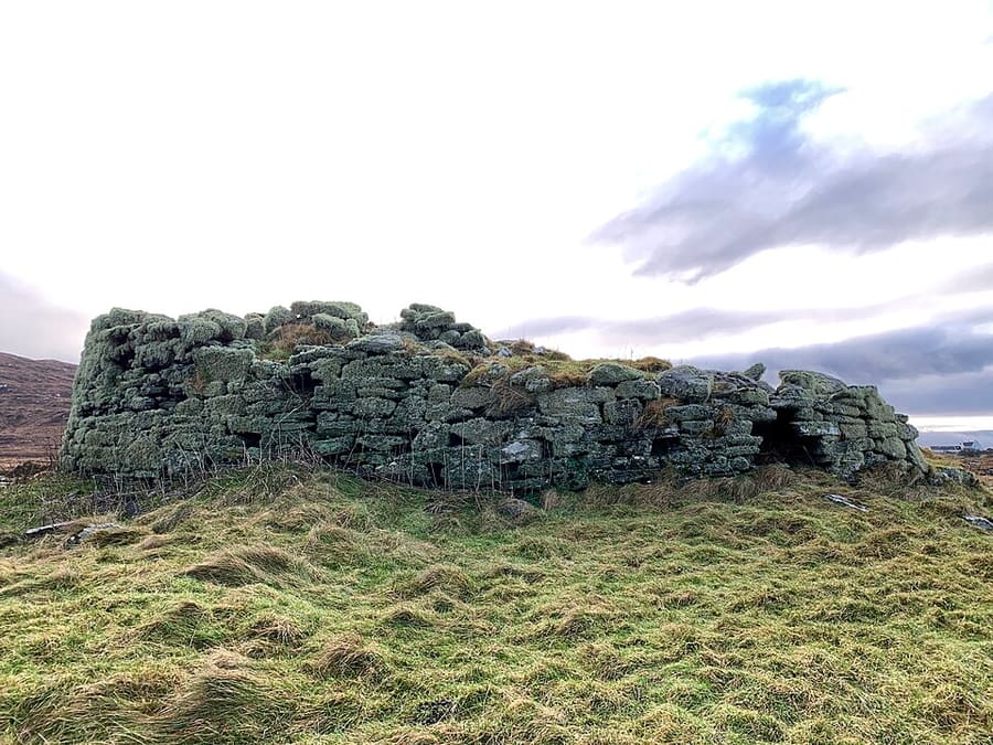
Iron Age broch in a loch about 9.5 km north of Lochmaddy; a building was raised on the site in the late medieval period.
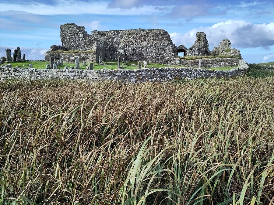
Ruins of a 13th-century Augustinian nunnery at Carinish, believed to be a daughter house of the Iona nunnery.
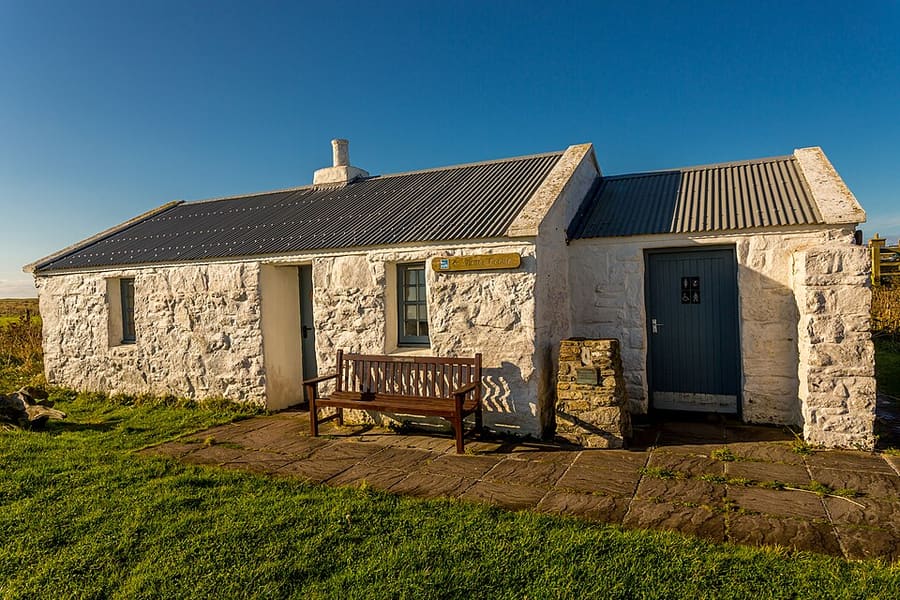
RSPB reserve on the west coast of North Uist with sandy beaches, a rocky shore, marshes and dunes.
Directions Website Report a problem with Balranald RSPB Reserve
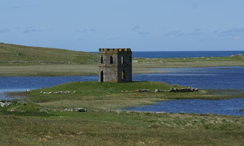
Georgian folly near the village of Scolpaig in the north-west of North Uist.
Find your way
The map shows The Uists & Benbecula and the streets around it. The Getting there page lists nearby stops and stations.
Insider tips
All the islands from Berneray to Eriskay are joined by causeways, so one car can cover the chain. Allow time for single-track sections.
Birds, sheep and cattle graze the machair beside the roads, so drive slowly through crofting townships.
Several cafés and hotels change their opening through the year. Check websites, especially between October and April.
CalMac says reservations are essential from Uig to Lochmaddy and strongly recommended at Lochboisdale.
Tips from the Britlens editors
Explore this guide
The Outer Hebrides
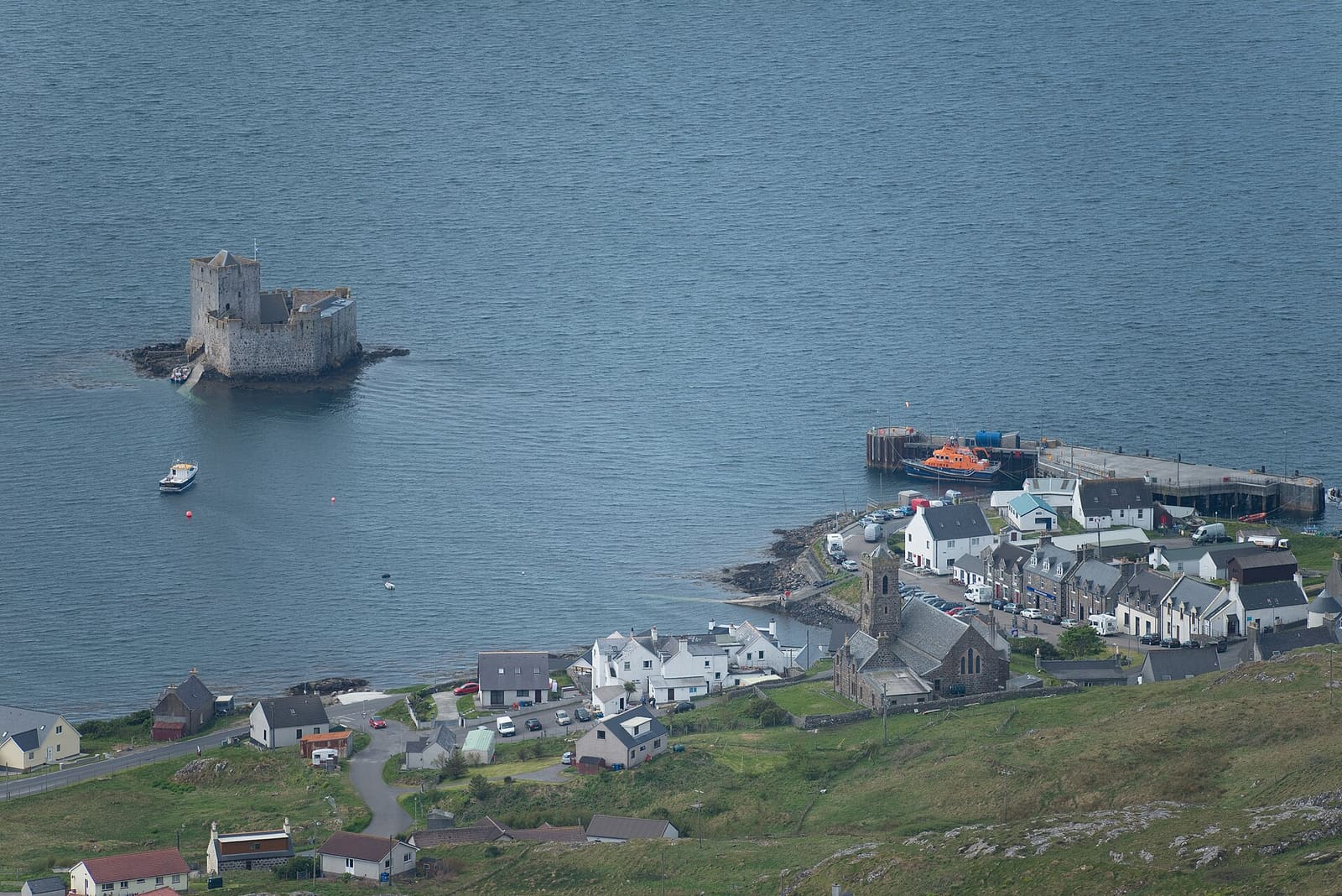
Kisimul Castle, the beach airport and the sands of Vatersay
Open the mini guide →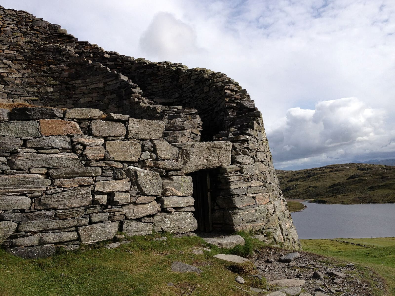
Stornoway, the Calanais Stones, blackhouses and the Butt of Lewis
Open the mini guide →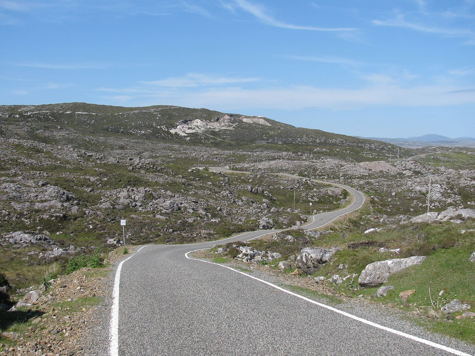
White beaches, the Bays, Tarbert and the church at Rodel
Open the mini guide →Photos from Wikimedia Commons, used under the licences shown. All photo credits
Keep exploring The Outer Hebrides