 English (UK)
 English (US)
 Français
 Deutsch
 Español
 Italiano
 Nederlands
 简体中文
A mini guide to
Wroxham, Hoveton & the northern Broads: getting there
Stops, stations and how to reach Wroxham, Hoveton & the northern Broads
Stops and stations
Getting to Wroxham, Hoveton & the northern Broads
Choose the stop closest to where you are going.
| Stop or station | Services | Good for |
|---|---|---|
| Hoveton & Wroxham station | Greater Anglia (Bittern Line) | About 8.75 miles from Norwich on the line to Cromer and Sheringham, with a typical service of one train an hour each way. |
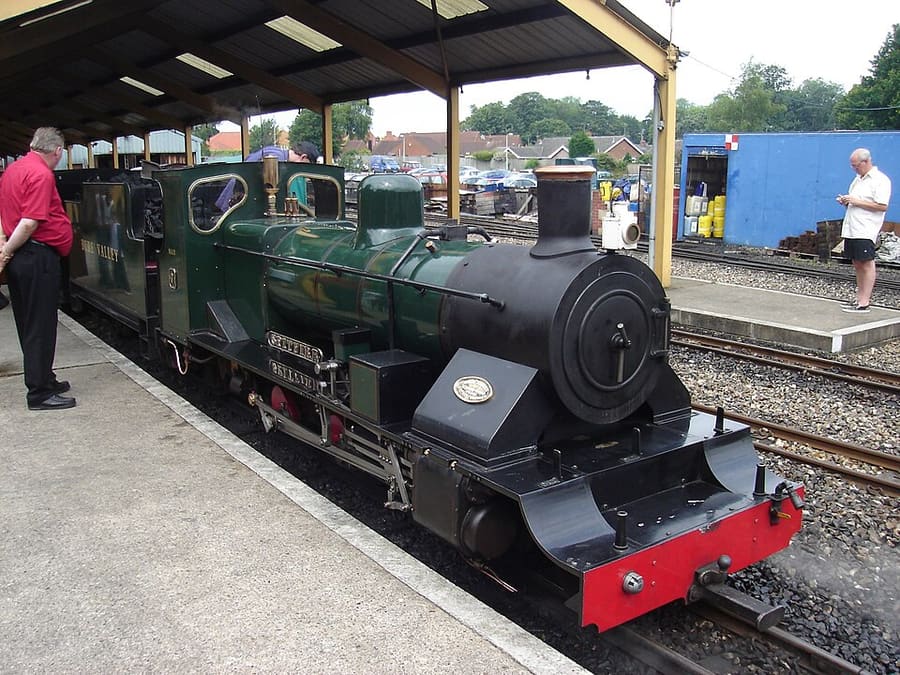
| Bure Valley Railway (Wroxham) | Bure Valley Railway | Narrow-gauge steam railway between Wroxham and Aylsham; check its timetable before you travel. |
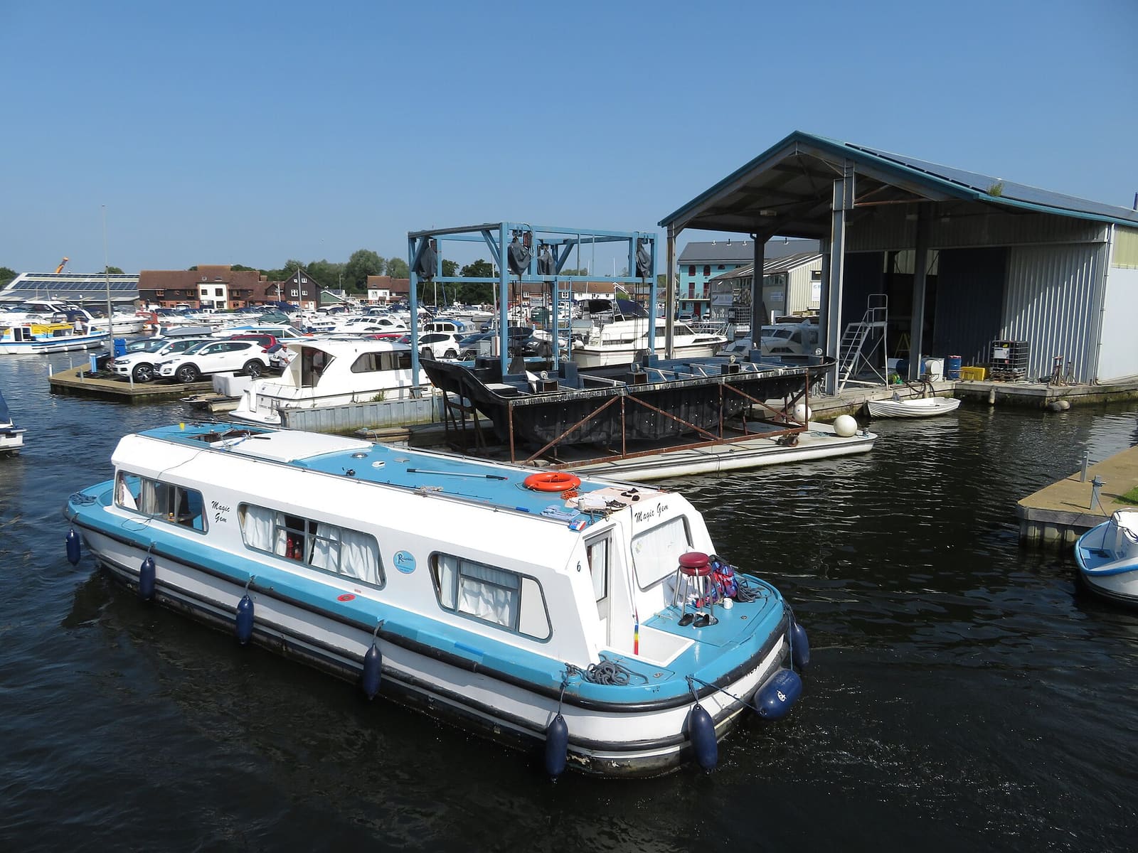
| River Bure | Boat hire and trips | Wroxham Bridge is one of the hardest bridges on the Broads to navigate, and a pilot station on the Hoveton side helps boaters for a fee. |
Within walking range
Stations near Wroxham, Hoveton & the northern Broads
Stations and stops mapped in OpenStreetMap within 2.5 km of the centre of Wroxham, Hoveton & the northern Broads, nearest first. Distances are straight lines; walking times assume 5 km/h and are a minimum.
| Station or stop | Type | Distance | On foot |
|---|---|---|---|
| Hoveton and Wroxham | Rail station (Greater Anglia) | 700 m | about 9 min |
| Wroxham BVR | Station | 900 m | about 10 min |
Station data: © OpenStreetMap contributors (ODbL), read Nov 3, 2026. Check step-free access with the operator before you travel.
Walking from nearby areas
- Norwich: 11.5 km from Wroxham, Hoveton & the northern Broads, better by public transport
- Cromer & Sheringham: 26.5 km from Wroxham, Hoveton & the northern Broads, better by public transport
- Wells, Holkham & Blakeney: 41.9 km from Wroxham, Hoveton & the northern Broads, better by public transport
- King's Lynn & Sandringham: 64.0 km from Wroxham, Hoveton & the northern Broads, better by public transport
Reaching Norfolk and the Broads
Official travel information
Norwich is the hub for the Broads and the north Norfolk coast, and King's Lynn for the west of the county. Journey times below are the figures the named sources give; always check the operator for current times.
- National Rail: Norwich → — station facilities and step-free access
- National Rail: Hoveton & Wroxham → — the Broads station on the Bittern Line
- National Rail: Cromer → — Bittern Line
- National Rail: Sheringham → — end of the Bittern Line
- National Rail: King's Lynn → — Great Northern trains from London King's Cross
- Visit Norfolk: plan your stay → — the county tourist board
- Visit the Broads → — the Broads National Park visitor site
Times, fares and disruption change: use the operator pages above for live information.
Plan your journey here
Enter your starting point and Google Maps will show routes to Wroxham, Hoveton & the northern Broads. Public transport is selected; change it on the map. Check operator sites for live disruption.
While you are here
Things to see in Wroxham, Hoveton & the northern Broads
A few of the sights in the area. The Things to do page lists them all, with directions and official links.
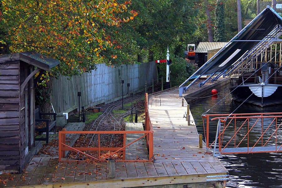
Barton House Railway
Miniature railway in a Wroxham garden, open on set days in the season; check its website before you go.
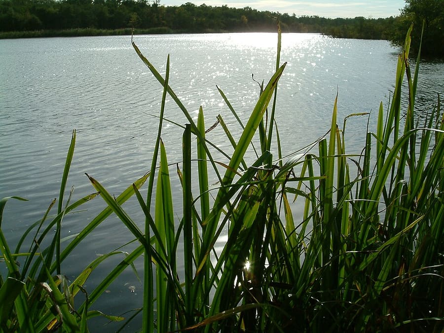
Cockshoot Broad
Small Norfolk Wildlife Trust reserve near Woodbastwick, part of the Bure Marshes National Nature Reserve.
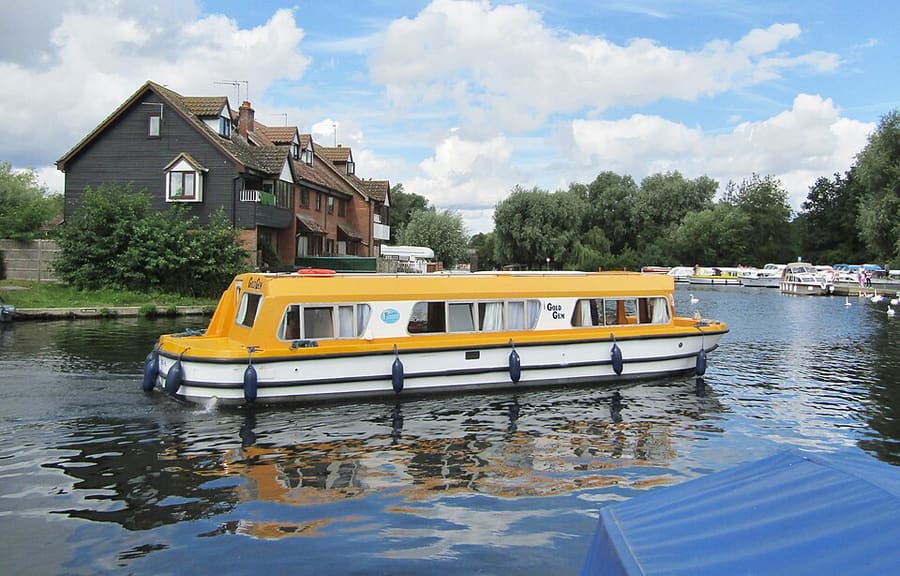
River Bure
Chalk river that flows through Wroxham and Horning; Coltishall Bridge is now the head of navigation.
Norfolk and the Broads
More areas to explore
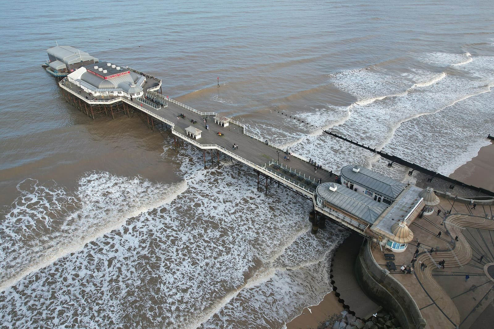
Cromer & Sheringham
Victorian seaside towns with a pier, crab boats, heritage steam trains and the highest hill in Norfolk
Open the mini guide →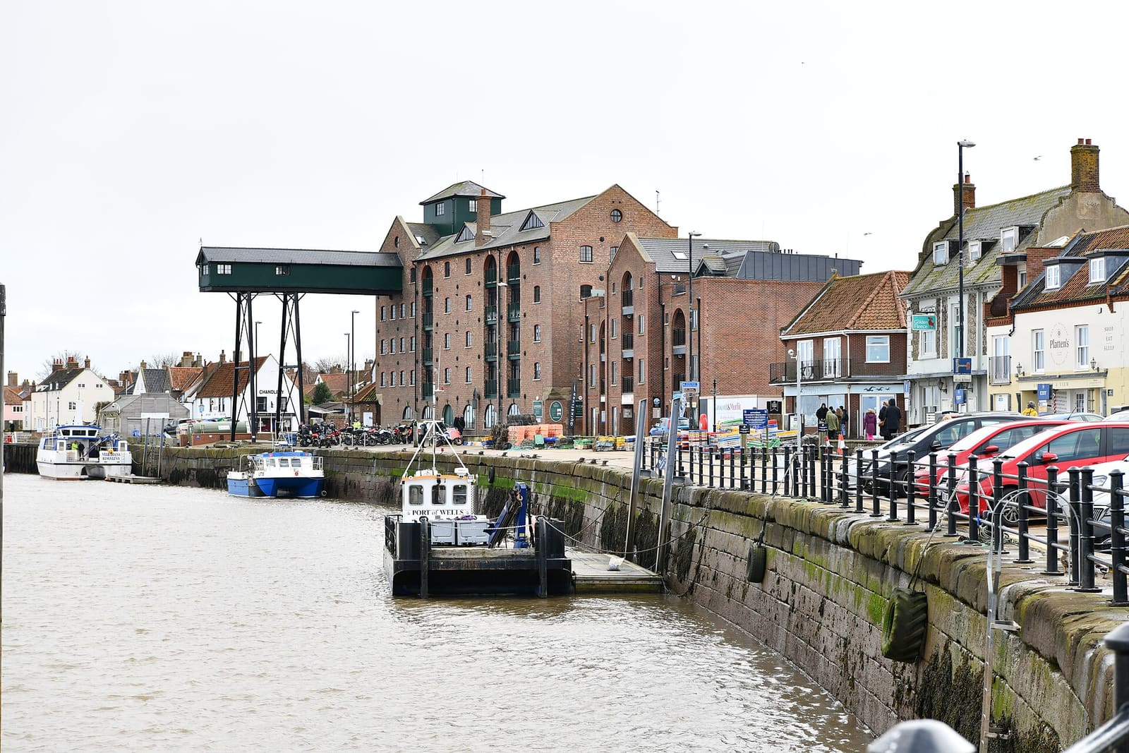
Wells, Holkham & Blakeney
Salt marsh, dunes and seals between a harbour town, a Palladian house and flint villages
Open the mini guide →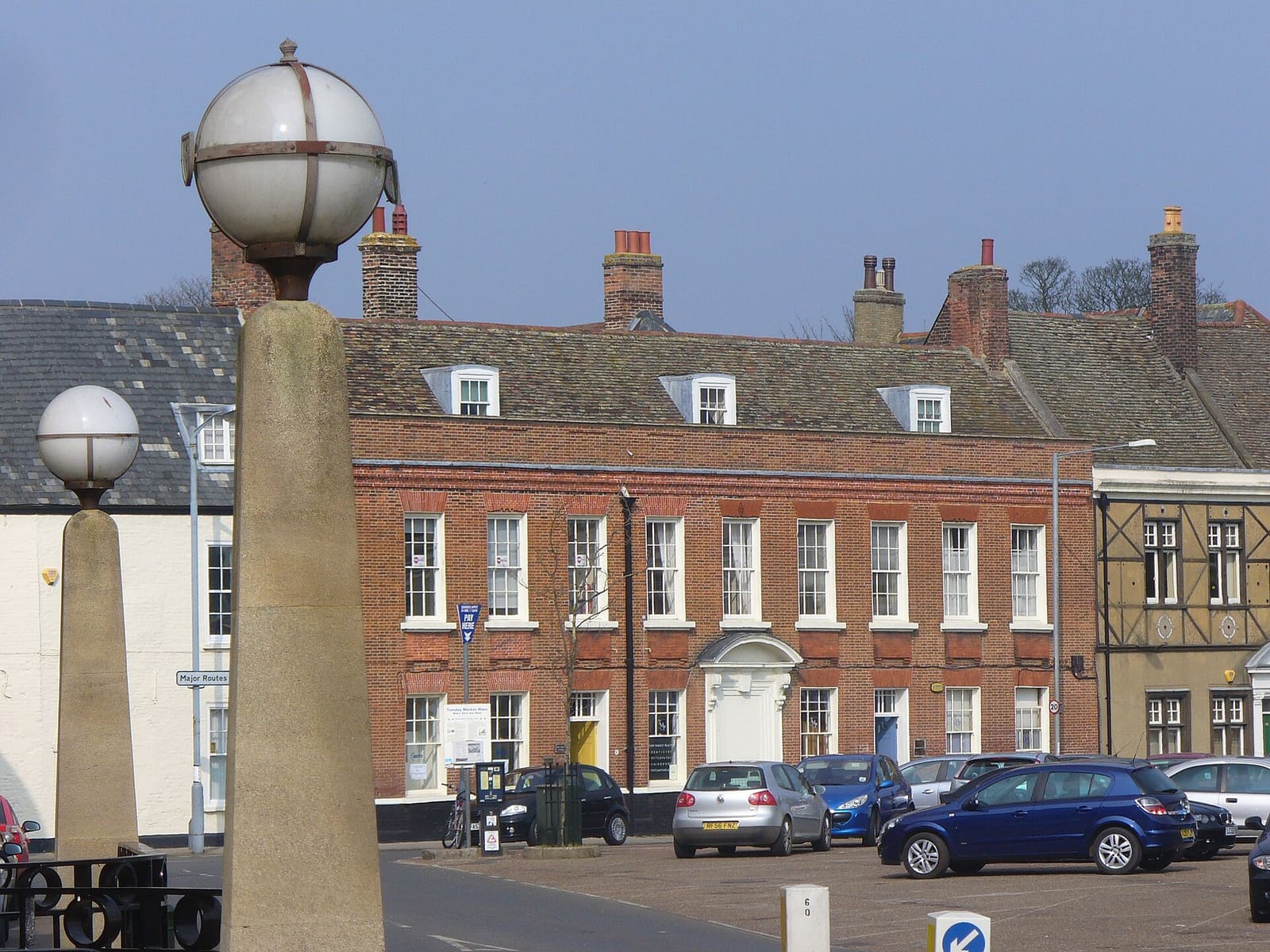
King's Lynn & Sandringham
A medieval port on the Great Ouse, a Norman castle and the royal Sandringham estate
Open the mini guide →Photo credits
- Bure Valley Railway: Northmetpit (talk) 14:56, Jan 12, 2008 (UTC), CC BY-SA 3.0, source
- Wroxham, Hoveton & the northern Broads (area photo): Gareth James, CC BY-SA 2.0, source
- Barton House Railway: Steve Daniels, CC BY-SA 2.0, source
- Cockshoot Broad: The original uploader was Flaxton at English Wikipedia., CC BY-SA 3.0, source
- River Bure: Colin Smith, CC BY-SA 2.0, source
- Cromer & Sheringham: Scribwik, CC BY-SA 4.0, source
- Wells, Holkham & Blakeney: Michael Garlick, CC BY-SA 2.0, source
- King's Lynn & Sandringham: Colin Smith, CC BY-SA 2.0, source
- Norwich: Sumit Surai, CC BY-SA 4.0, source
Photos from Wikimedia Commons, used under the licences shown. All photo credits
Keep exploring Norfolk and the Broads