 English (UK)
 English (US)
 Français
 Deutsch
 Español
 Italiano
 Nederlands
 简体中文
A mini guide to
Altrincham & Sale: getting there
Stops, stations and how to reach Altrincham & Sale
Stops and stations
Getting to Altrincham & Sale
Choose the stop closest to where you are going.
| Stop or station | Services | Good for |
|---|---|---|
| Altrincham Interchange | Metrolink, National Rail and Bee Network buses | Tram, rail and bus station on Stamford New Road, the south-western terminus of two tram routes |
| Navigation Road | Metrolink | Tram stop on Navigation Road |
| Timperley | Metrolink | Tram stop in Timperley |
| Brooklands | Metrolink | Tram stop in Brooklands, Sale |
| Sale | Metrolink | Tram stop in Sale |
| Sale Water Park | Metrolink | Tram stop for the water park |
Within walking range
Stations near Altrincham & Sale
Stations and stops mapped in OpenStreetMap within 2.5 km of the centre of Altrincham & Sale, nearest first. Distances are straight lines; walking times assume 5 km/h and are a minimum.
| Station or stop | Type | Distance | On foot |
|---|---|---|---|
| Altrincham | Rail station (Metrolink) | 2.0 km | about 24 min |
Station data: © OpenStreetMap contributors (ODbL), read Oct 25, 2026. Check step-free access with the operator before you travel.
Walking from nearby areas
- Chorlton & Didsbury: 6.2 km from Altrincham & Sale, better by public transport
- Salford Quays & MediaCity: 8.0 km from Altrincham & Sale, better by public transport
- Oxford Road & Rusholme: 9.3 km from Altrincham & Sale, better by public transport
- Castlefield & the Canals: 9.8 km from Altrincham & Sale, better by public transport
Reaching Manchester
Official travel information
Manchester has an international airport south of the center, four main railway stations and a coach station near Piccadilly Gardens. Always check the operator for current times, fares and disruption.
- Visit Manchester → — the city's official visitor site
- Manchester Airport: to and from the airport → — train, tram, bus and taxi
- Bee Network (TfGM) → — journey planner, travel updates, tickets
- Bee Network: tram → — Metrolink routes and planned works
- Bee Network: contactless on bus and tram → — how tap and go works, with daily and weekly caps
- Bee Network: bus → — routes and tickets
- Bee Network: accessible travel → — support when traveling
- National Rail Inquiries → — train times and fares
- Avanti West Coast → — London Euston and the West Coast
- TransPennine Express → — trains to the north and across the Pennines
- Northern → — regional trains
- Manchester City Council → — local information
Times, fares and disruption change: use the operator pages above for live information.
Plan your journey here
Enter your starting point and Google Maps will show routes to Altrincham & Sale. Public transport is selected; change it on the map. Check operator sites for live disruption.
While you are here
Things to see in Altrincham & Sale
A few of the sights in the area. The Things to do page lists them all, with directions and official links.
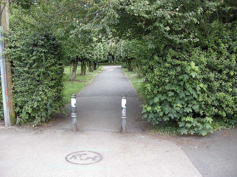
Stamford Park
Public park on the eastern side of Altrincham, beside Stamford Park Road.
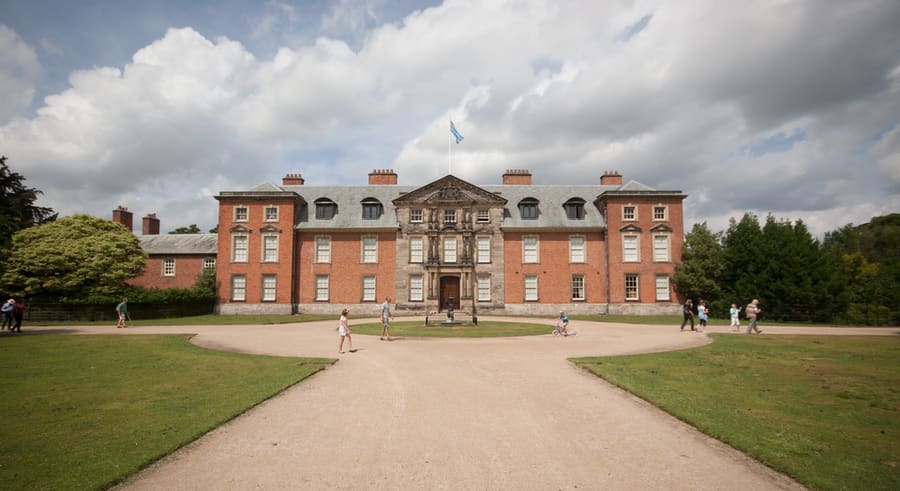
Dunham Massey
Grade I listed country house and park west of Altrincham, owned by the National Trust since 1976.
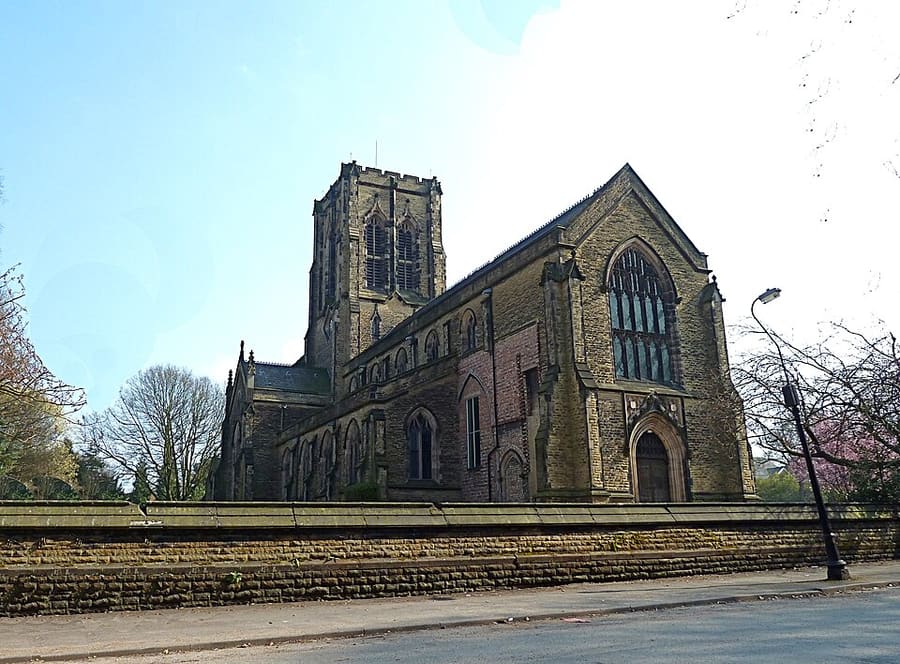
Bowdon
Village and suburb of Altrincham, historically in Cheshire and part of Greater Manchester since 1974.
Manchester
More areas to explore
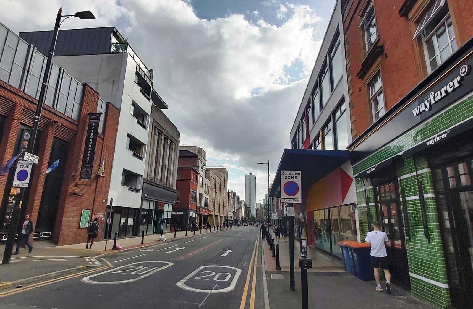
Northern Quarter & Cathedral
Independent shops, bars and music venues, with the cathedral and the soccer museum a short walk west
Open the mini guide →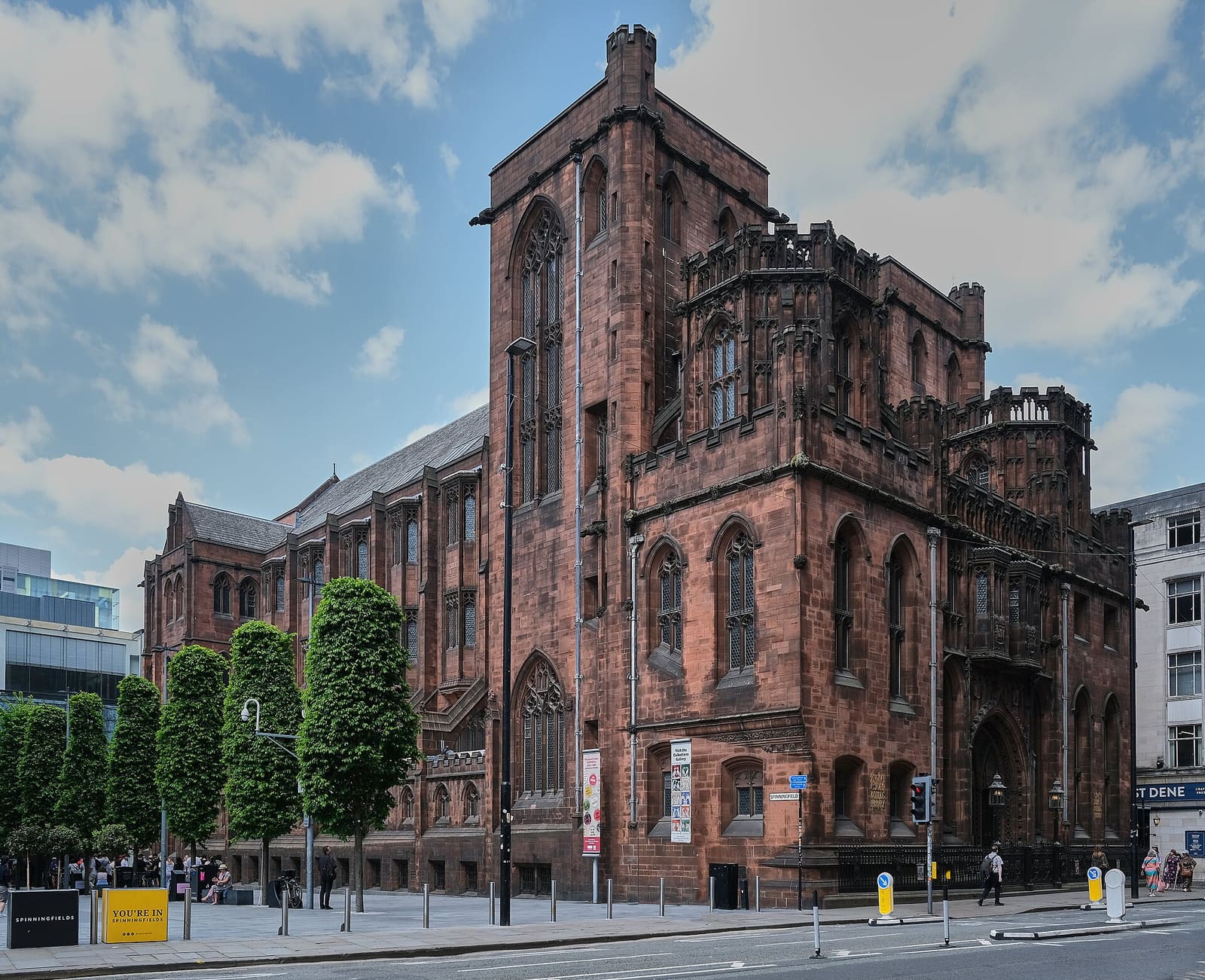
Spinningfields & Deansgate
The Victorian civic heart and the glass offices of Spinningfields
Open the mini guide →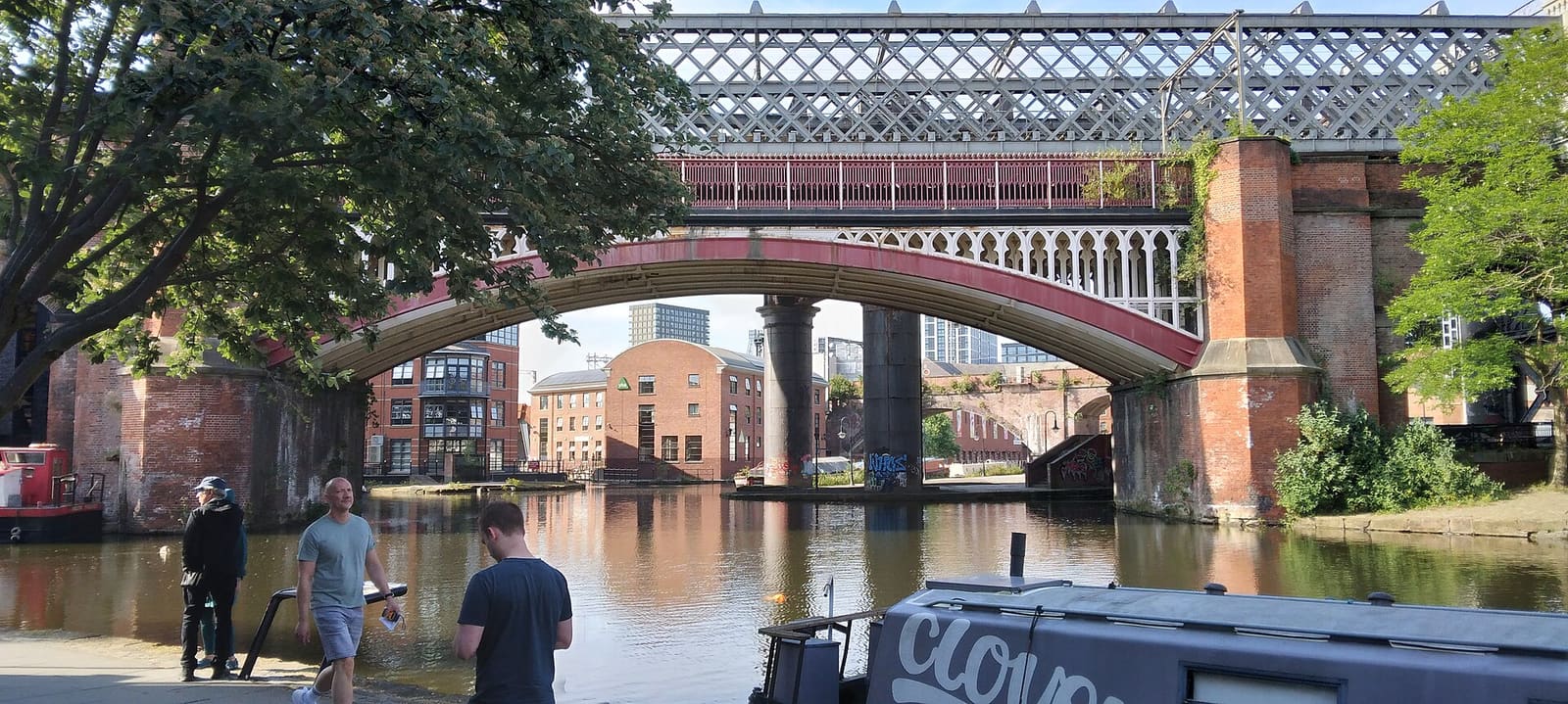
Castlefield & the Canals
Roman fort, canal basin and railway firsts, in the city's urban heritage park
Open the mini guide →Photo credits
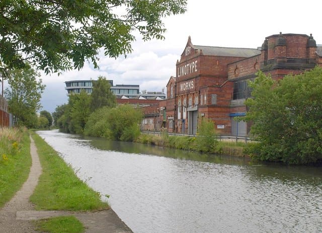
- Bridgewater Canal: Derek Harper, CC BY-SA 2.0, source
- Altrincham & Sale (area photo): Parrot of Doom, CC BY-SA 3.0, source
- Stamford Park: Richard Sutcliffe, CC BY-SA 2.0, source
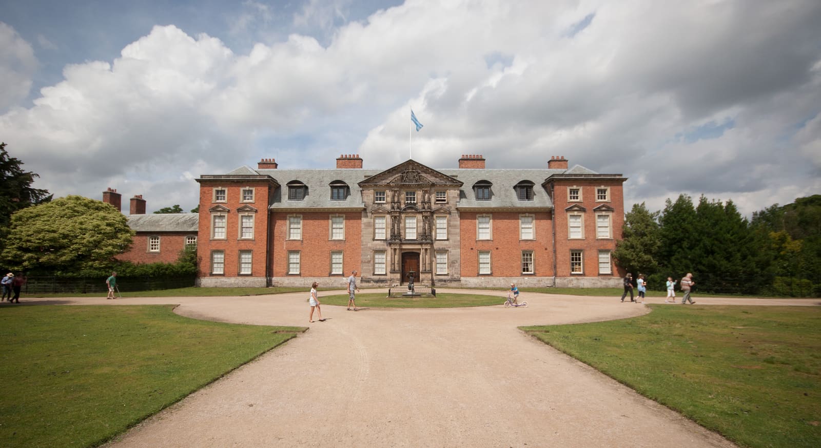
- Dunham Massey: Parrot of Doom, CC BY-SA 3.0, source
- Bowdon: Anthony O'Neil, CC BY-SA 2.0, source
- Northern Quarter & Cathedral: Anthony Parkes, CC BY-SA 2.0, source
- Spinningfields & Deansgate: Anthony O'Neil, CC BY-SA 2.0, source
- Castlefield & the Canals: Ridiculopathy, CC0, source
- Piccadilly, Chinatown & the Village: Jorge Franganillo, CC BY 4.0, source
- Ancoats & New Islington: DS Pugh, CC BY-SA 2.0, source
- Salford Quays & MediaCity: Rosser1954, CC BY 4.0, source
- Oxford Road & Rusholme: DrPhoenix, CC BY-SA 3.0, source
- Chorlton & Didsbury: Wikidwitch, CC BY-SA 3.0, source
Photos from Wikimedia Commons, used under the licences shown. All photo credits
Keep exploring Manchester