 English (UK)
 English (US)
 Français
 Deutsch
 Español
 Italiano
 Nederlands
 简体中文
Cathedral
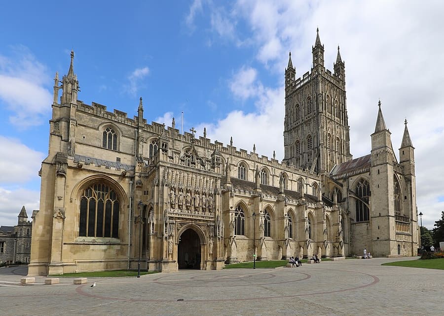
Gloucester Cathedral
Former St Peter's Abbey, founded around 679; burial place of King Edward II, seen in scenes from the Harry Potter films.
Directions Website Report a problem with Gloucester Cathedral
A mini guide to
The cathedral, the four Gate streets, Greyfriars and the Victorian docks
 1 / 5
Welcome to the area
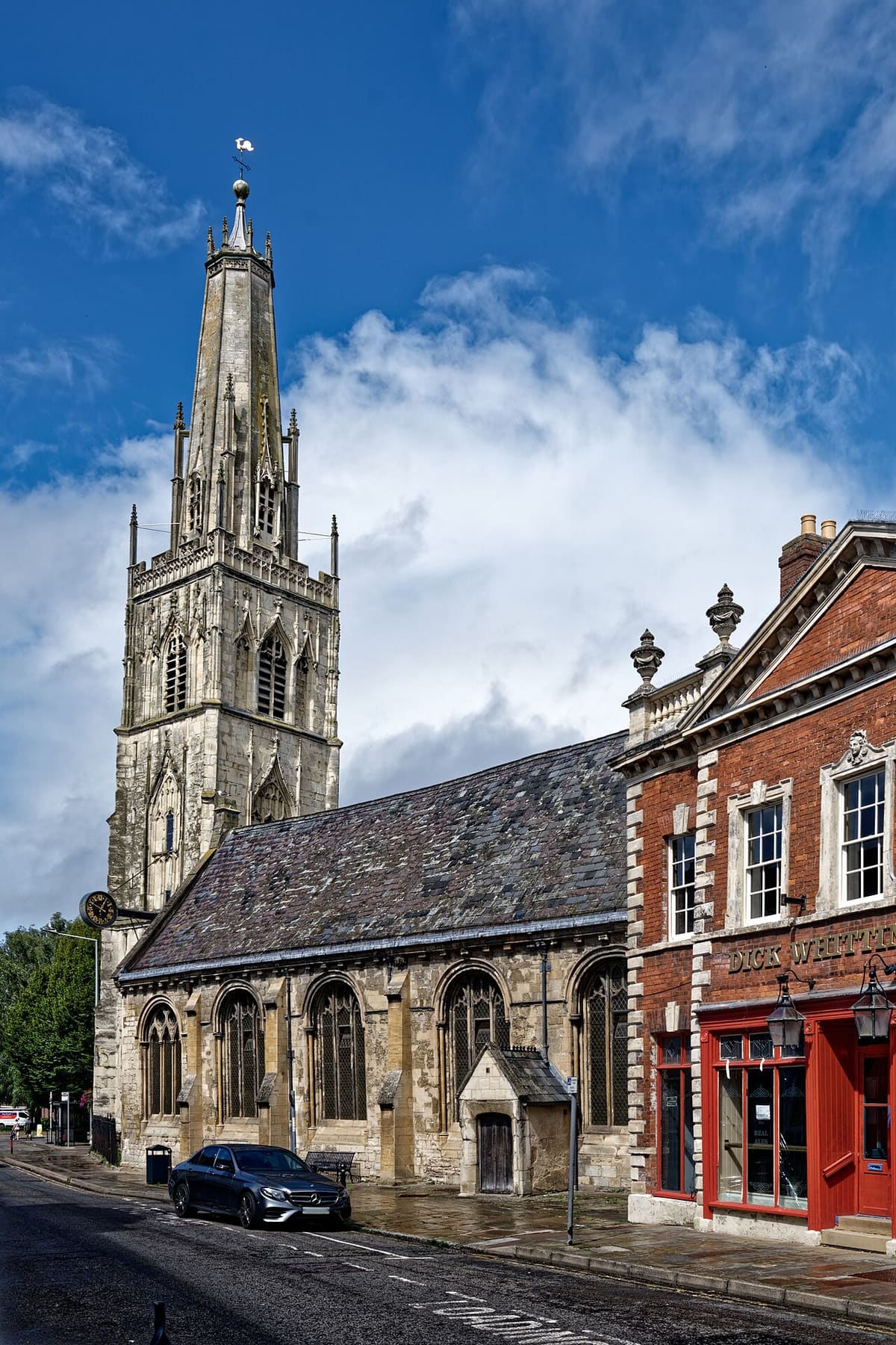
The Roman plan of Northgate, Southgate, Eastgate and Westgate streets still meets at The Cross, where St Michael's Tower stands. The cathedral is just to the north, inside its close, with St Mary de Lode outside the gate and the ruins of St Oswald's Priory beyond. Westgate Street runs towards the river past St Nicholas' Church.
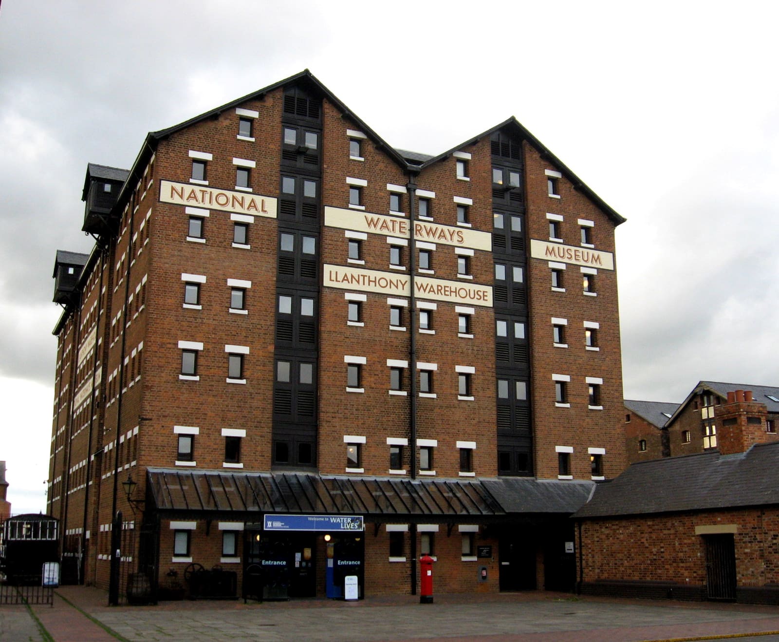
Southgate Street leads past St Mary de Crypt and the Greyfriars ruins to Gloucester Docks. The Victorian warehouses here hold the National Waterways Museum and the Soldiers of Gloucestershire Museum, with Gloucester Quays next door and Llanthony Secunda Priory to the south-west. The Museum of Gloucester is on Brunswick Road, east of Southgate Street.
Highlights
If you only have a few hours, these are good places to begin.
Former St Peter's Abbey, founded around 679; burial place of King Edward II, seen in scenes from the Harry Potter films.
Directions Website Report a problem with Gloucester Cathedral
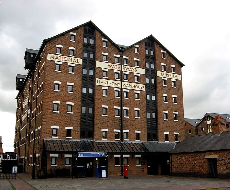
Canal & River Trust museum in a Victorian warehouse at Gloucester Docks, on the Gloucester and Sharpness Canal.
Directions Website Report a problem with National Waterways Museum Gloucester
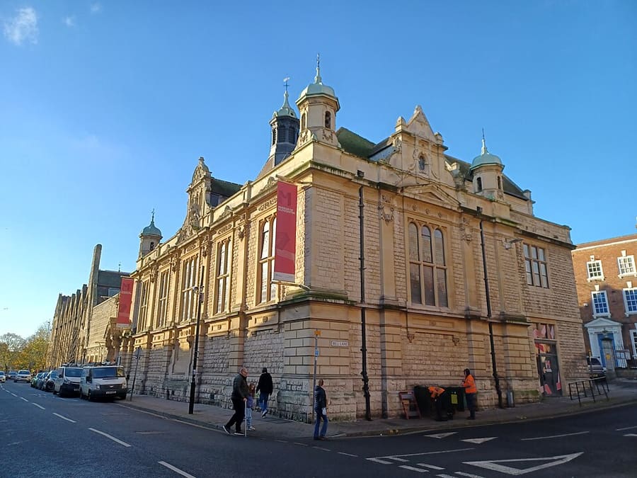
The city's main museum, on Brunswick Road, reopened in 2011 after renovation.
Directions Website Report a problem with Museum of Gloucester
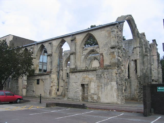
English Heritage ruins of a friary church founded about 1231 and rebuilt around 1518 by the Berkeley family.
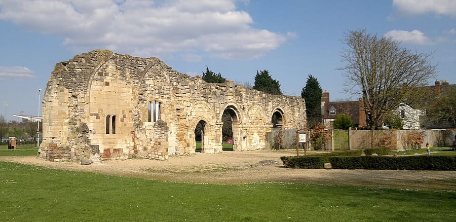
Grade I listed ruins of a priory founded in the 880s or 890s by Æthelflæd, daughter of Alfred the Great.
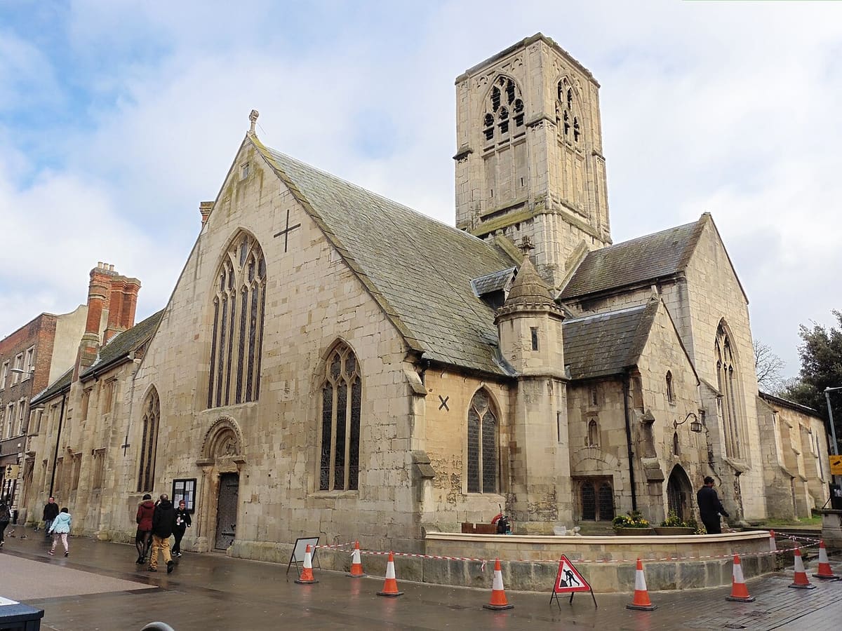
Grade I listed church first recorded in 1140, next to the Greyfriars ruins.
Find your way
The map shows Gloucester city centre and docks and the streets around it. The Getting there page lists nearby stops and stations.
Insider tips
The four Gate streets meet here at the city's highest point; the cathedral, Greyfriars and the docks are all a short walk away.
The National Waterways Museum and the Soldiers of Gloucestershire Museum are both at the docks, next to Gloucester Quays.
The Soldiers of Gloucestershire Museum lists opening from Wednesday to Sunday; check before you go.
Tips from the Britlens editors
Explore this guide
Photos from Wikimedia Commons, used under the licences shown. All photo credits
Keep exploring Gloucester