 English (UK)
 English (US)
 Français
 Deutsch
 Español
 Italiano
 Nederlands
 简体中文
Neighborhood
Charing Cross
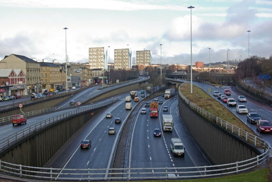
Road junction and area on the boundary of the city center and the West End, where Sauchiehall Street and Woodlands Road meet.
A mini guide to
Where the city center meets the West End: Sauchiehall Street, Garnethill and a Victorian synagogue
 1 / 5
Welcome to the area
Charing Cross is a road junction on the north-west edge of the city center. Wikipedia describes it as the notional boundary between the City Centre and the West End, with Sauchiehall Street, Woodlands Road and the M8 highway meeting there. Garnethill, the hill to the east, is a mainly residential area with a number of important public buildings.
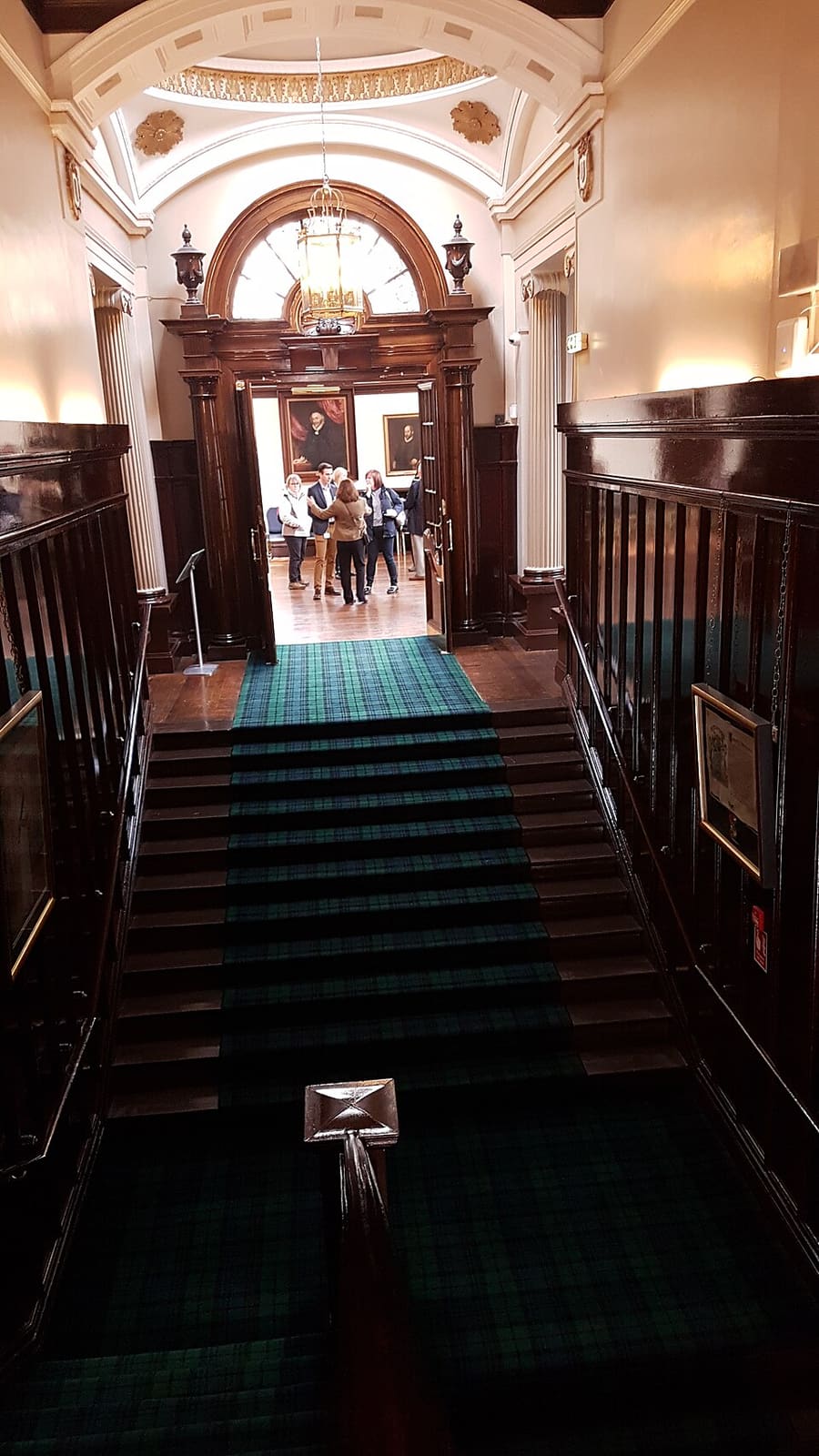
Garnethill Synagogue, completed in 1881, is considered the cathedral synagogue of Scotland, and the Scottish Jewish Archives Centre is nearby. Glasgow Art Club, the Royal College of Physicians and Surgeons and the Georgian Blythswood Square lie to the south and east, and St Mary's Cathedral and Woodlands are to the north-west. Guest houses and hotels line Renfrew Street and Bath Street, a short walk from Glasgow School of Art and the Tenement House (see the city center page).
Highlights
If you only have a few hours, these are good places to begin.
Road junction and area on the boundary of the city center and the West End, where Sauchiehall Street and Woodlands Road meet.
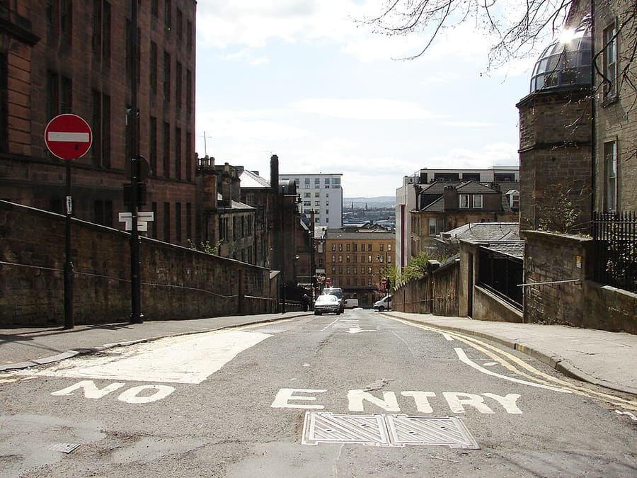
Mainly residential hill north of Sauchiehall Street with a number of important public buildings.
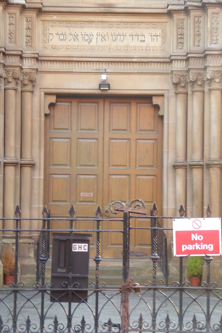
Orthodox synagogue completed in 1881, considered the cathedral synagogue of Scotland.
Directions Website Report a problem with Garnethill Synagogue
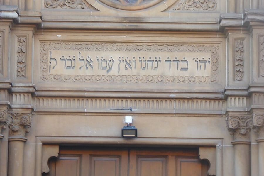
Repository of items on Jewish migration to Scotland and Jewish life in Scotland from the 18th century to today.
Directions Report a problem with Scottish Jewish Archives Centre
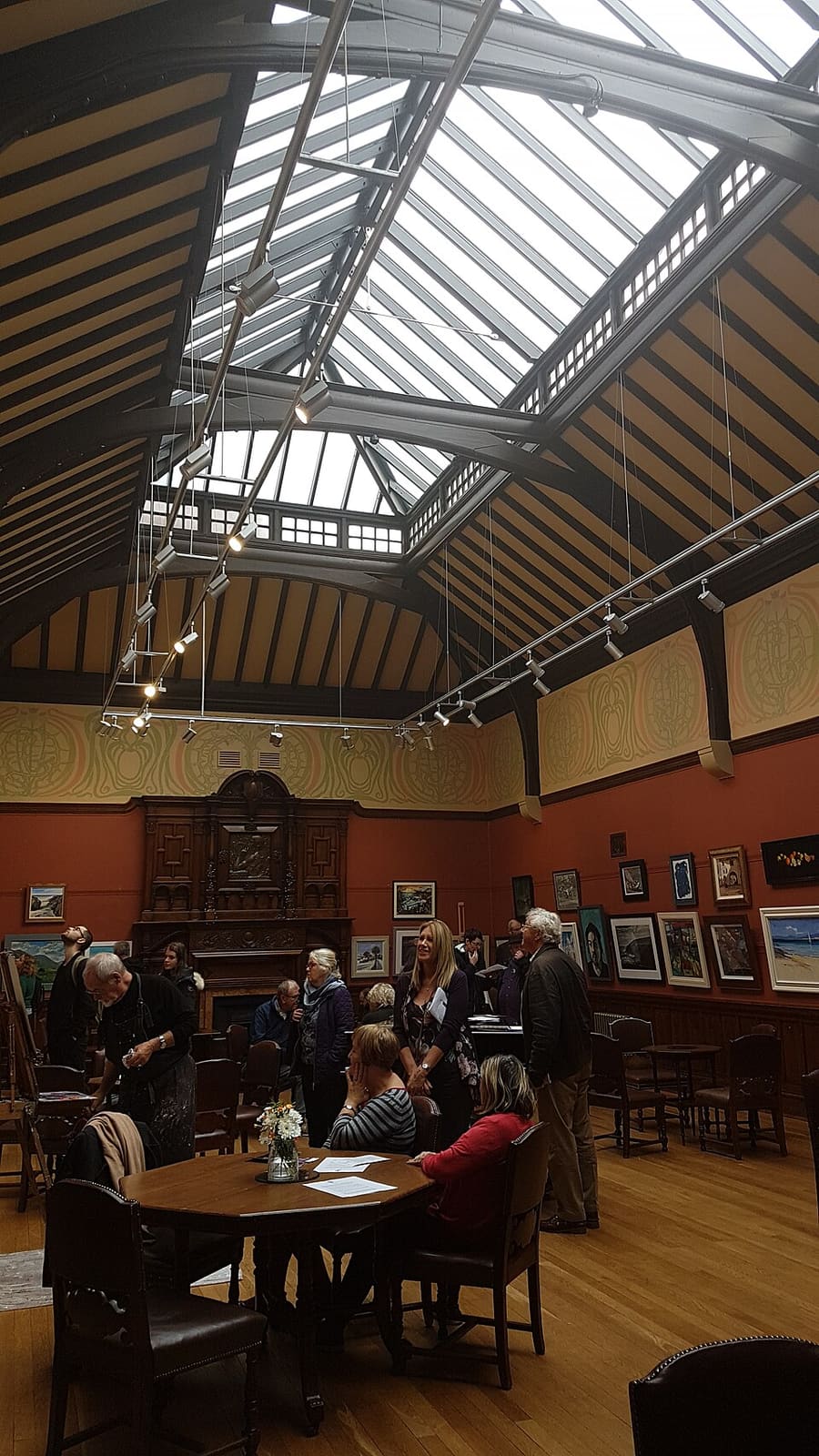
Artists' club in a Category A listed building, with exhibitions, events and lunchtime concerts open to the public.
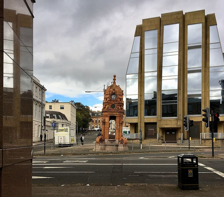
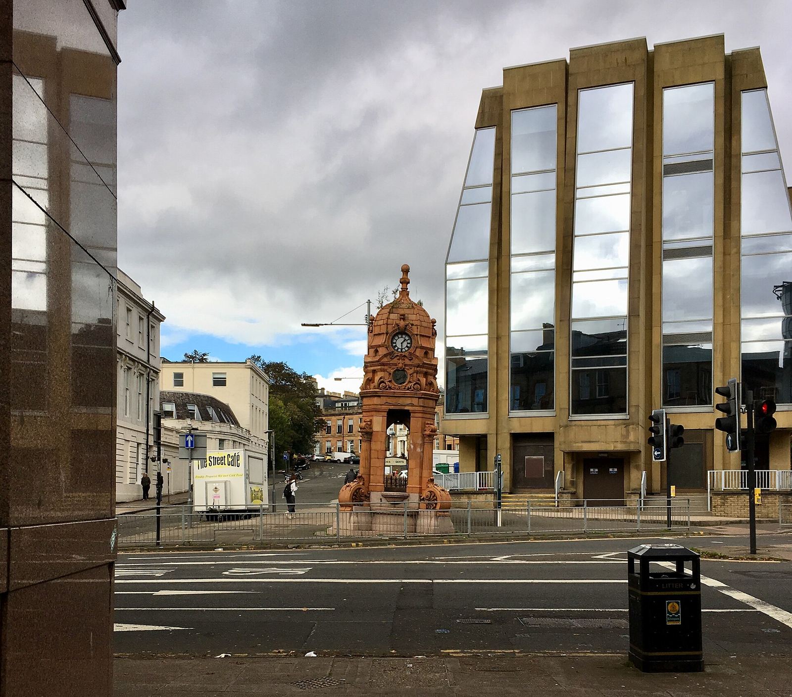
Doultonware fountain of 1896 at Woodside Crescent, known for its eastward lean.
Directions Report a problem with Charles Cameron Memorial Fountain
Find your way
The map shows Charing Cross & Garnethill and the streets around it. The Getting there page lists nearby stops and stations.
Insider tips
Wikipedia says the Charles Cameron Memorial Fountain, dating from 1896, has a pronounced eastward lean first noted in 1926. The story that the M8 caused it is described there as an urban myth.
Garnethill Synagogue describes itself as Scotland's first purpose-built synagogue. Check garnethill.org.uk for visiting arrangements before you go.
SPT lists the Glasgow School of Art, the Glasgow Film Theatre and the Tenement House as near Cowcaddens station. Those sights are on the city center page.
Wikipedia places Charing Cross on the boundary of the West End. Woodlands Road leads toward Kelvinbridge and the university.
Tips from the Britlens editors
Explore this guide
Glasgow
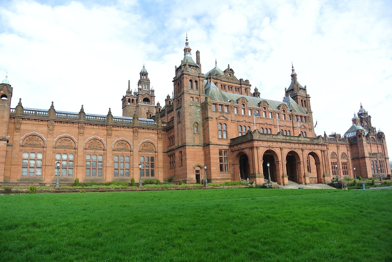
A free museum, Scotland's oldest university museum and the cobbled lanes off Byres Road
Open the mini guide →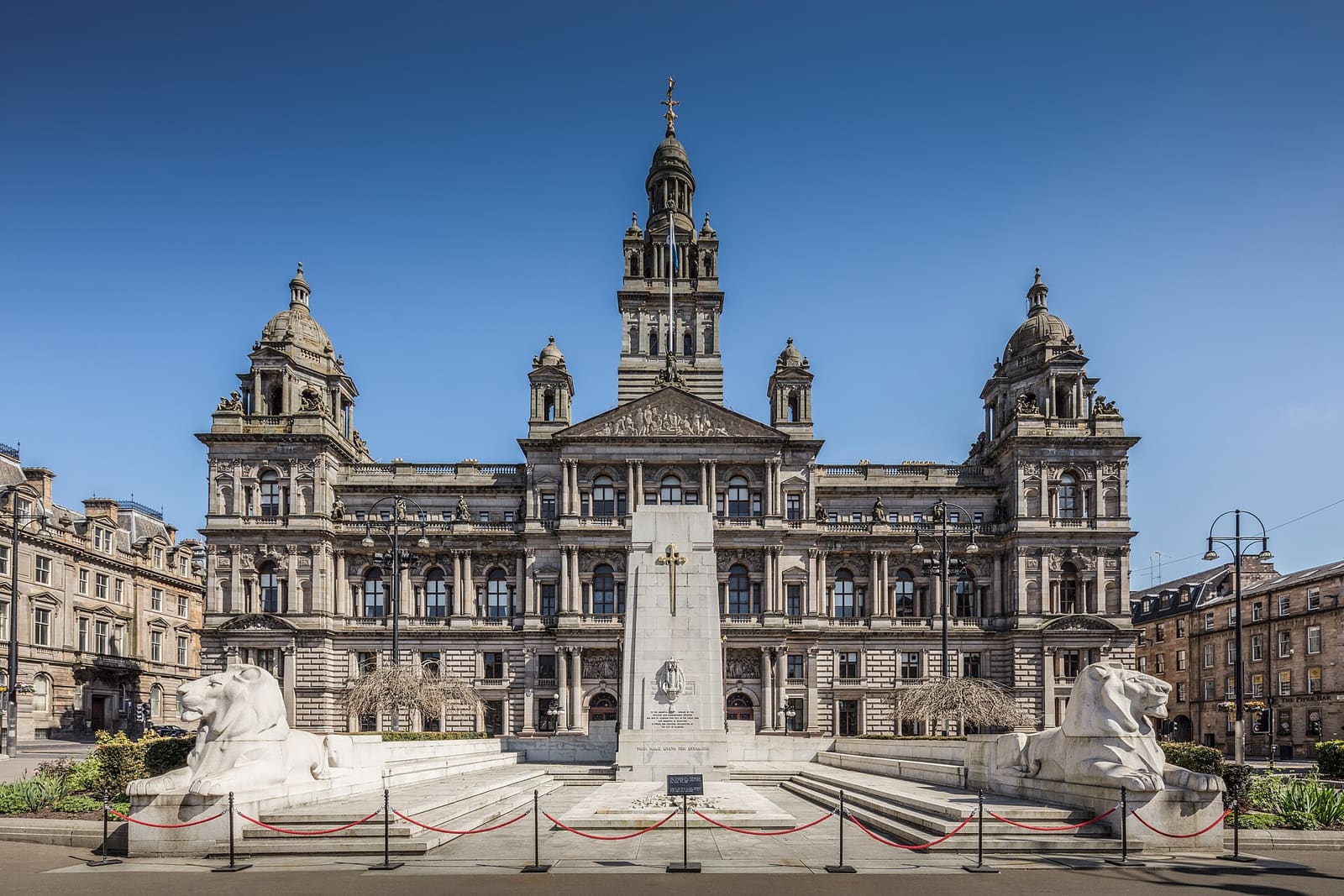
Civic squares, the shopping streets and the theaters and venues of the central grid
Open the mini guide →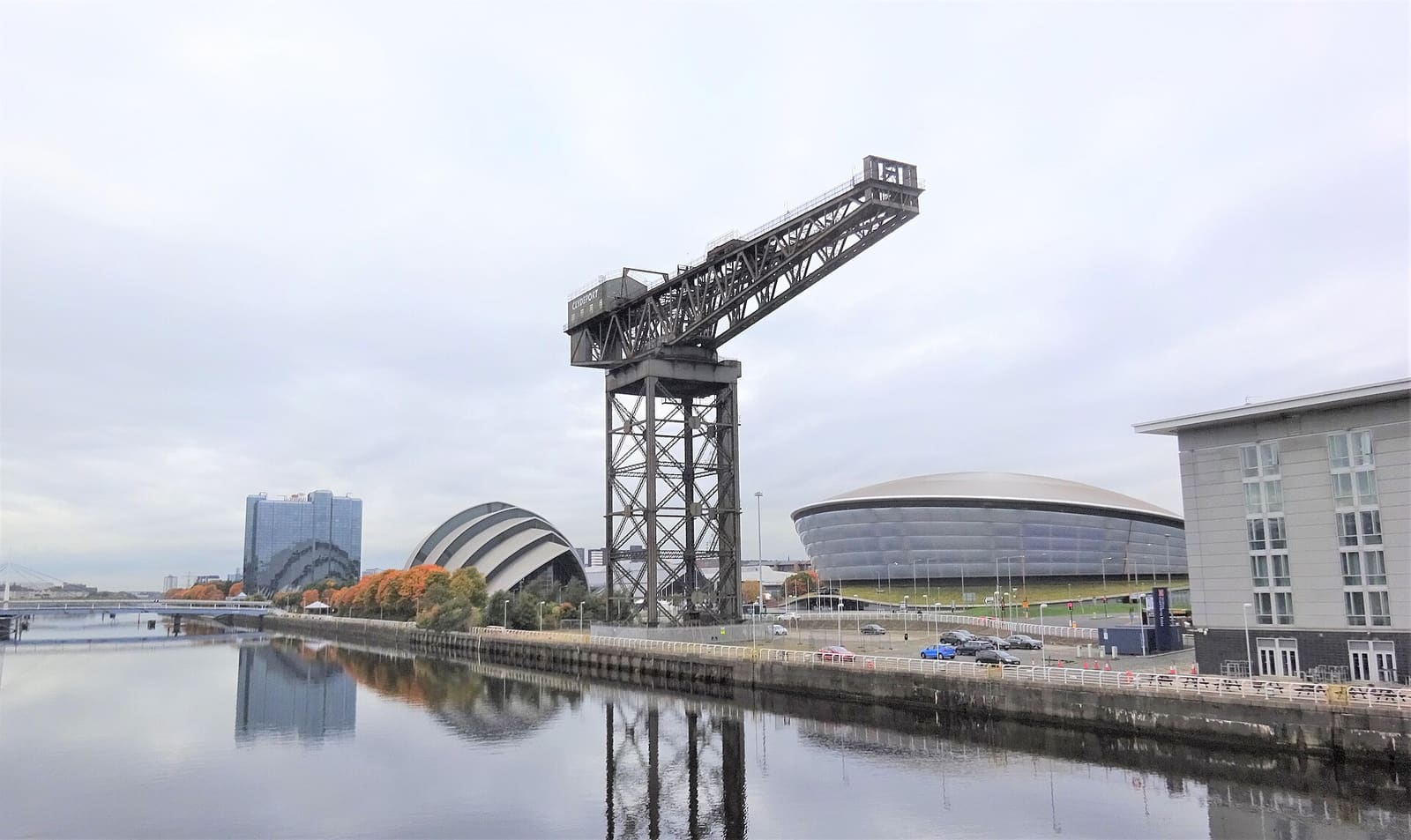
Cranes, bridges and museums on the Clyde, with Finnieston's bars and restaurants behind
Open the mini guide →Photos from Wikimedia Commons, used under the licences shown. All photo credits
Keep exploring Glasgow