 English (UK)
 English (US)
 Français
 Deutsch
 Español
 Italiano
 Nederlands
 简体中文
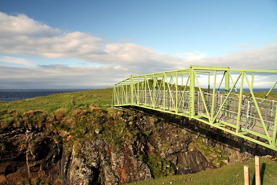
Un mini-guide de
Isle of Lewis & Stornoway: getting there
Stops, stations and how to reach Isle of Lewis & Stornoway
Arrêts et stations
Getting to Isle of Lewis & Stornoway
Choisissez l'arrêt le plus proche de votre destination.
| Arrêt ou station | Services | Idéal pour |
|---|---|---|
| Stornoway ferry terminal | CalMac ferry to Ullapool | CalMac gives a crossing time of 2 hours 45 minutes and recommends vehicle reservations |
| Stornoway Airport | Vols | The HIAL arrivals board (2 Nov 2026) listed flights from Glasgow, Edinburgh, Inverness and Benbecula |
| Bus locaux | Island bus routes | Routes run out from Stornoway; check Traveline Scotland for times before you rely on them |
| Road to Harris | A859 | Lewis and Harris are one island, so Tarbert is reached by road from Stornoway |
Walking from nearby areas
- Isle of Harris & Tarbert: 42.3 km from Isle of Lewis & Stornoway, better by public transport
- The Uists & Benbecula: 104.0 km from Isle of Lewis & Stornoway, better by public transport
- Barra & Vatersay: 154.1 km from Isle of Lewis & Stornoway, better by public transport
Reaching The Outer Hebrides
Informations officielles sur les transports
Five CalMac routes link the Outer Hebrides with the mainland and Skye, and Highlands and Islands Airports run the airports at Stornoway, Benbecula and Barra. Vehicle space on the ferries is limited, so book ahead and check service status before you travel.
- CalMac → — ferries, timetables and service status
- Highlands and Islands Airports (HIAL) → — Stornoway, Benbecula and Barra airports
- Visit Outer Hebrides → — the islands' tourism site
- Comhairle nan Eilean Siar → — the Western Isles Council
- VisitScotland → — le site national de tourisme
- Traveline Scotland → — bus and ferry journey planner
- Historic Environment Scotland → — Calanais, Dun Carloway, Arnol, Rodel and Kisimul
- Scottish Outdoor Access Code → — responsible access on croft land and beaches
Les horaires, les tarifs et les perturbations changent : consultez les pages des opérateurs ci-dessus pour des informations en direct.
Planifiez votre trajet ici
Enter your starting point and Google Maps will show routes to Isle of Lewis & Stornoway. Public transport is selected; change it on the map. Check operator sites for live disruption.
While you are here
Things to see in Isle of Lewis & Stornoway
A few of the sights in the area. The Things to do page lists them all, with directions and official links.
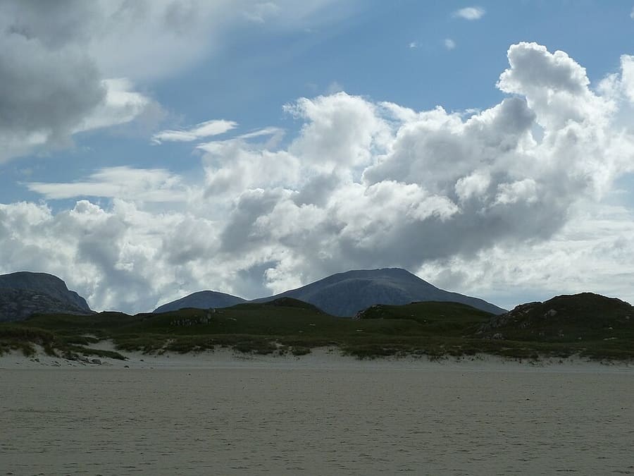
Uig Sands
Wide sands of Tràigh Ùige in the far west of Lewis; the 12th-century Lewis chessmen were found at Uig in 1831.
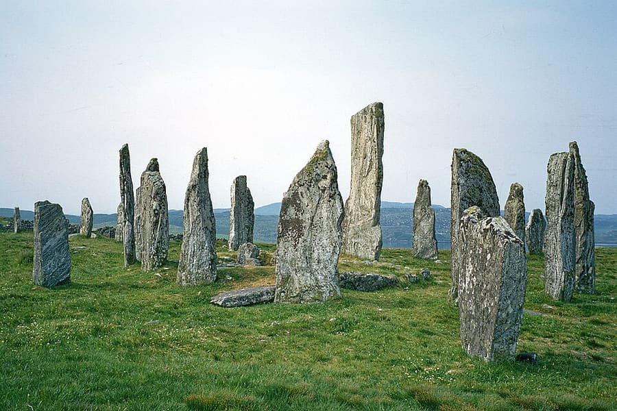
Calanais Standing Stones
Neolithic stone circle with stone rows, built around 2750 BC and cared for by Historic Environment Scotland, with a visitor centre nearby.
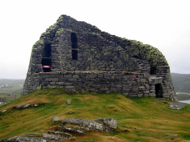
Dun Carloway
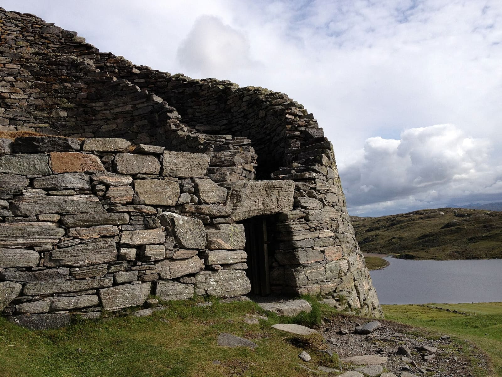
Well-preserved broch on a rocky knoll above Loch Carloway; on its east side the wall still stands about 9 metres high.
The Outer Hebrides
More areas to explore
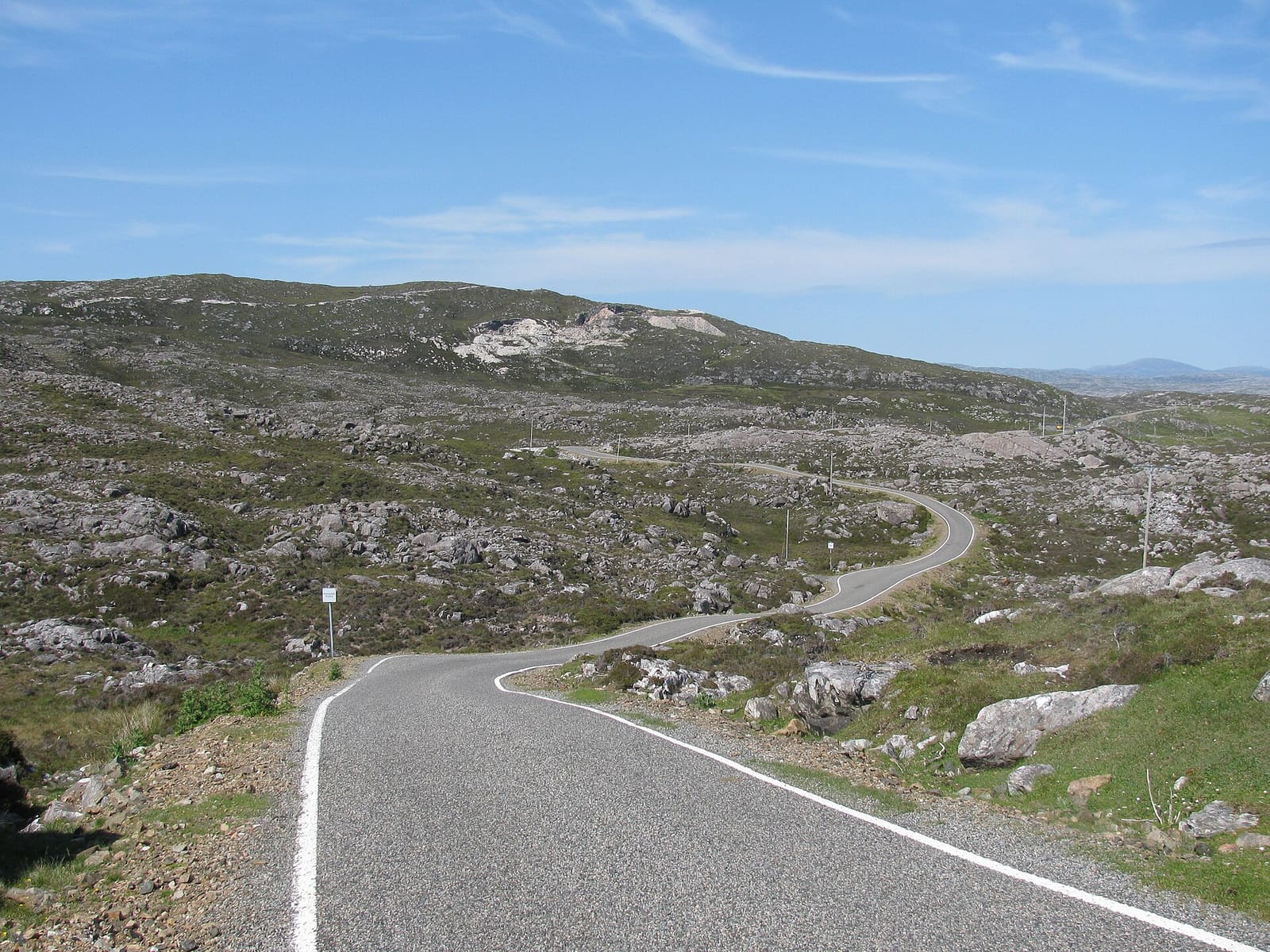
Isle of Harris & Tarbert
White beaches, the Bays, Tarbert and the church at Rodel
Ouvrir le mini-guide →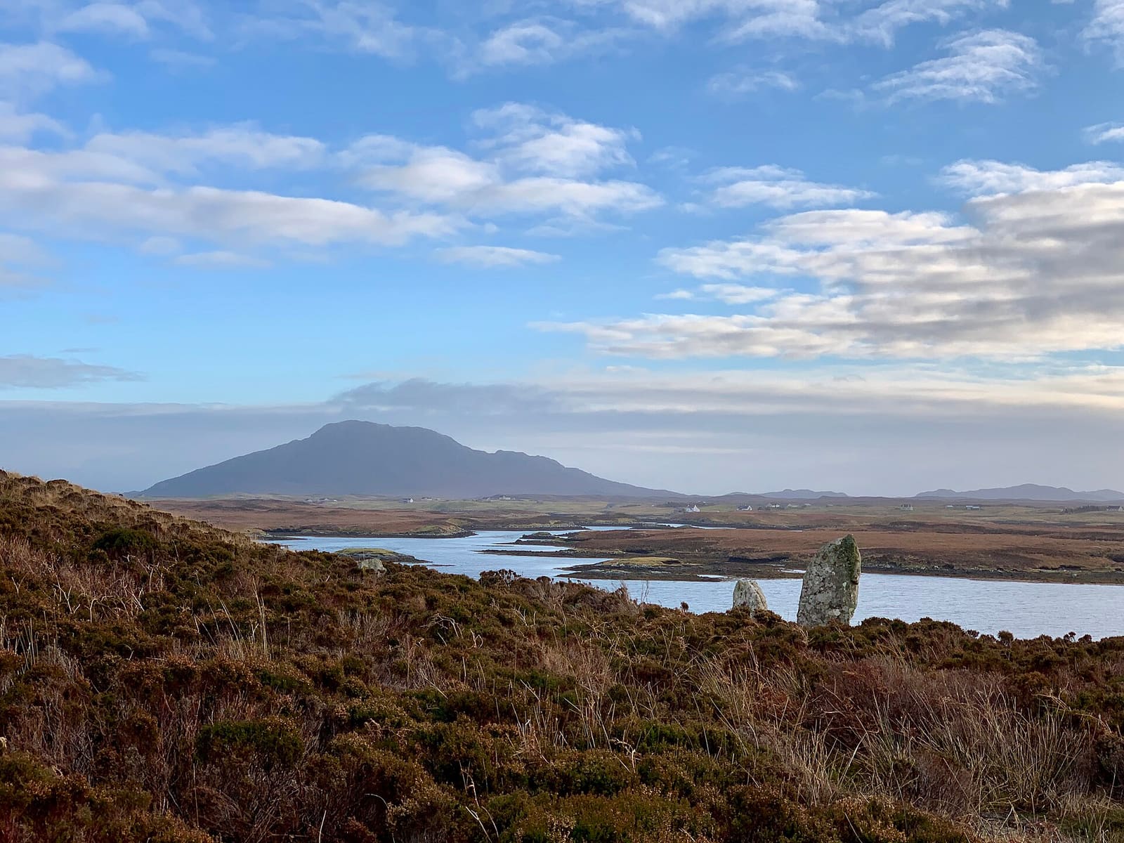
The Uists & Benbecula
Machair, chambered cairns and causeways from Berneray to Eriskay
Ouvrir le mini-guide →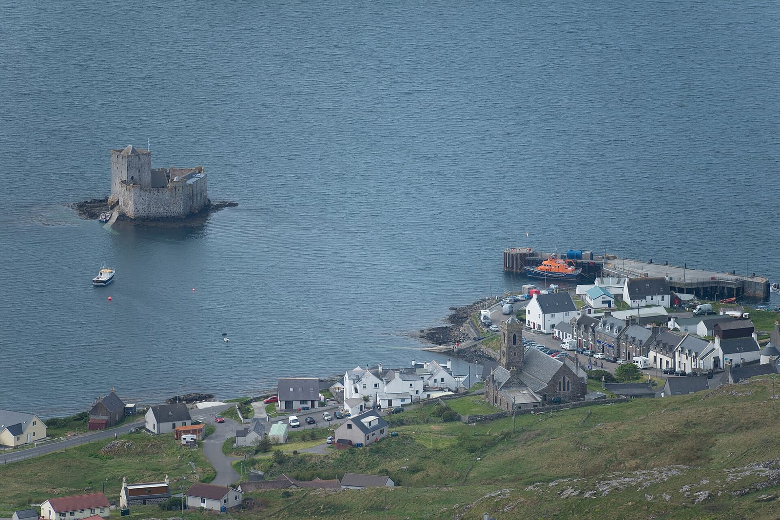
Barra & Vatersay
Kisimul Castle, the beach airport and the sands of Vatersay
Ouvrir le mini-guide →Crédits photos
- Dùn Èistean: Chmee2, CC BY-SA 3.0, source
- Isle of Lewis & Stornoway (area photo): LornaMCampbell, CC BY-SA 4.0, source
- Uig Sands: Rob Farrow, CC BY-SA 2.0, source
- Calanais Standing Stones: Julian Paren, CC BY-SA 2.0, source
- Dun Carloway: Andrew Curtis, CC BY-SA 2.0, source
- Isle of Harris & Tarbert: Zenit, CC BY-SA 3.0, source
- The Uists & Benbecula: Helen Spencer, CC BY-SA 4.0, source
- Barra & Vatersay: Conor Lawless from North Uist, United Kingdom, CC BY 2.0, source
Photos from Wikimedia Commons, used under the licences shown. All photo credits
Keep exploring The Outer Hebrides