 English (UK)
 English (US)
 Français
 Deutsch
 Español
 Italiano
 Nederlands
 简体中文
Un mini-guide de
Wells, Holkham & Blakeney: getting there
Stops, stations and how to reach Wells, Holkham & Blakeney
Arrêts et stations
Getting to Wells, Holkham & Blakeney
Choisissez l'arrêt le plus proche de votre destination.
| Arrêt ou station | Services | Idéal pour |
|---|---|---|
| Coastliner 36 | Lynx | Bus from King's Lynn via Hunstanton to Wells-next-the-Sea and on to Fakenham. |
| Coasthopper | Sanders Coaches | Bus along the coast from Wells-next-the-Sea towards Blakeney and Cromer. |
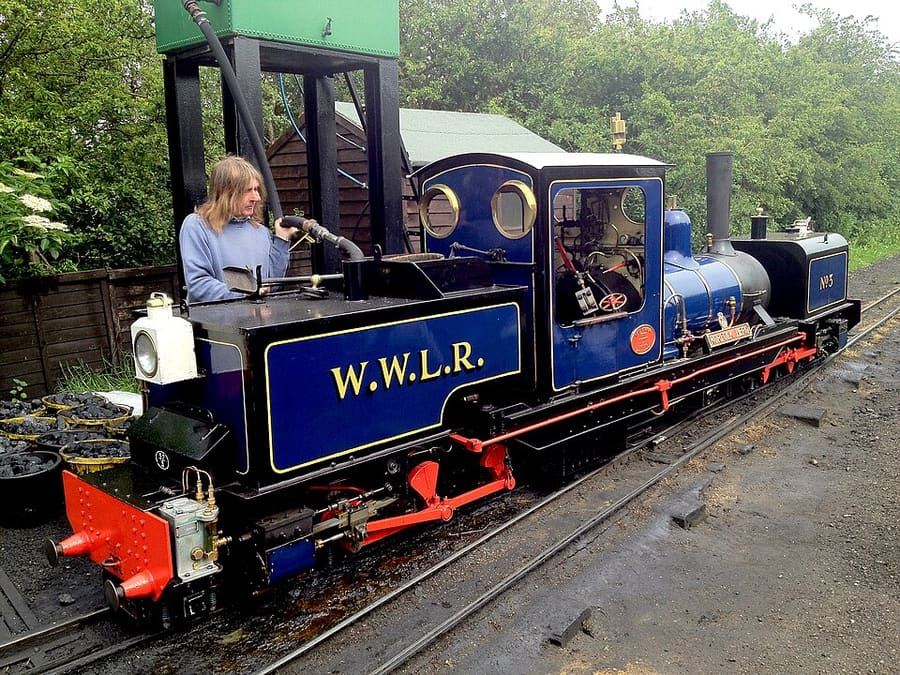
| Wells and Walsingham Light Railway | Chemin de fer historique | Small-gauge line running four miles from Wells to Walsingham. |
| Stations les plus proches | Greater Anglia (Bittern Line) | Wells has no railway station; Sheringham, on the Bittern Line from Norwich, is the nearest. |
Walking from nearby areas
- Cromer & Sheringham: 22.0 km from Wells, Holkham & Blakeney, better by public transport
- King's Lynn & Sandringham: 37.1 km from Wells, Holkham & Blakeney, better by public transport
- Wroxham, Hoveton & the northern Broads: 41.9 km from Wells, Holkham & Blakeney, better by public transport
- Norwich: 43.7 km from Wells, Holkham & Blakeney, better by public transport
Reaching Norfolk and the Broads
Informations officielles sur les transports
Norwich is the hub for the Broads and the north Norfolk coast, and King's Lynn for the west of the county. Journey times below are the figures the named sources give; always check the operator for current times.
- National Rail: Norwich → — station facilities and step-free access
- National Rail: Hoveton & Wroxham → — the Broads station on the Bittern Line
- National Rail: Cromer → — Bittern Line
- National Rail: Sheringham → — end of the Bittern Line
- National Rail: King's Lynn → — Great Northern trains from London King's Cross
- Visit Norfolk: plan your stay → — the county tourist board
- Visit the Broads → — the Broads National Park visitor site
Les horaires, les tarifs et les perturbations changent : consultez les pages des opérateurs ci-dessus pour des informations en direct.
Planifiez votre trajet ici
Enter your starting point and Google Maps will show routes to Wells, Holkham & Blakeney. Public transport is selected; change it on the map. Check operator sites for live disruption.
While you are here
Things to see in Wells, Holkham & Blakeney
A few of the sights in the area. The Things to do page lists them all, with directions and official links.
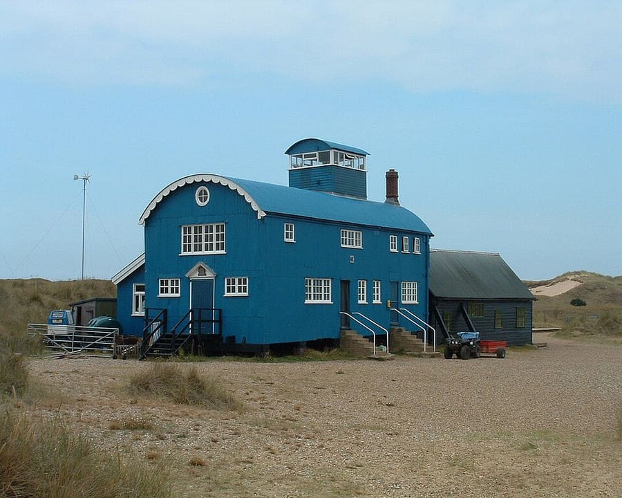
Blakeney Point
National Trust reserve on a shingle and dune spit about 6.4 km long, with a colony of harbour and grey seals.
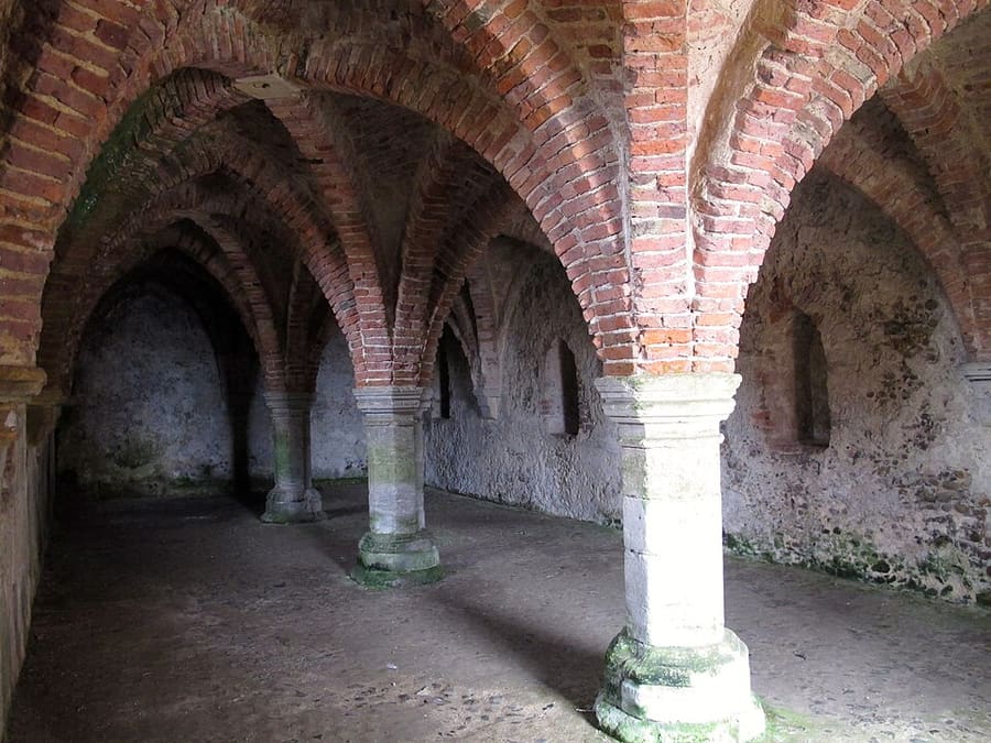
Blakeney Guildhall
Medieval undercroft in an alley off Blakeney quay, an English Heritage scheduled monument.
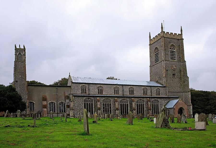
St Nicholas' Church, Blakeney
Parish church founded in the 13th century and largely rebuilt in the 15th, when Blakeney was a busy seaport.
Norfolk and the Broads
More areas to explore
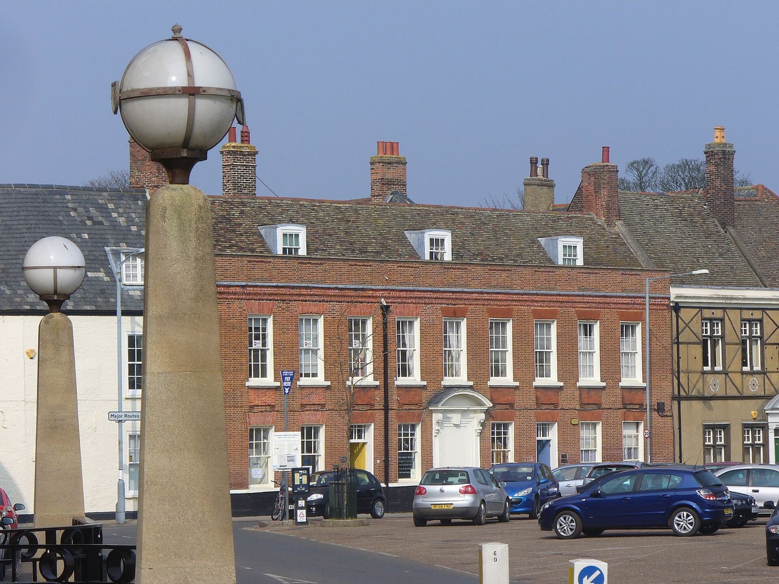
King's Lynn & Sandringham
A medieval port on the Great Ouse, a Norman castle and the royal Sandringham estate
Ouvrir le mini-guide →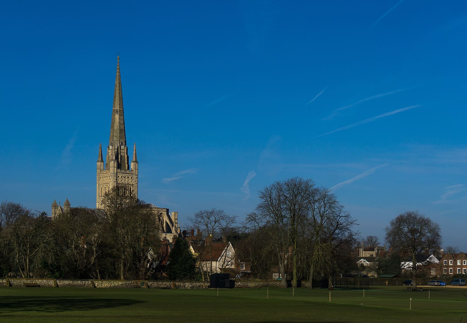
Norwich
A Norman cathedral and castle, a 900-year-old market and medieval lanes in the county city
Ouvrir le mini-guide →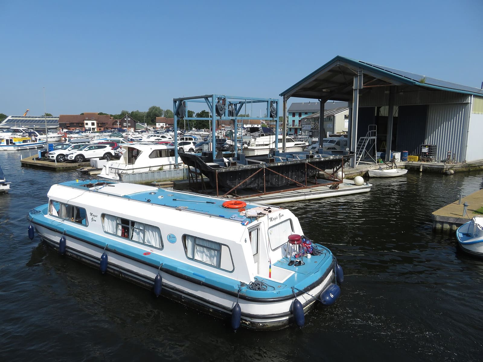
Wroxham, Hoveton & the northern Broads
Boatyards, river trips and broads on the River Bure, a train ride from Norwich
Ouvrir le mini-guide →Crédits photos
- Wells and Walsingham Light Railway: Timothy Titus, CC BY-SA 3.0, source
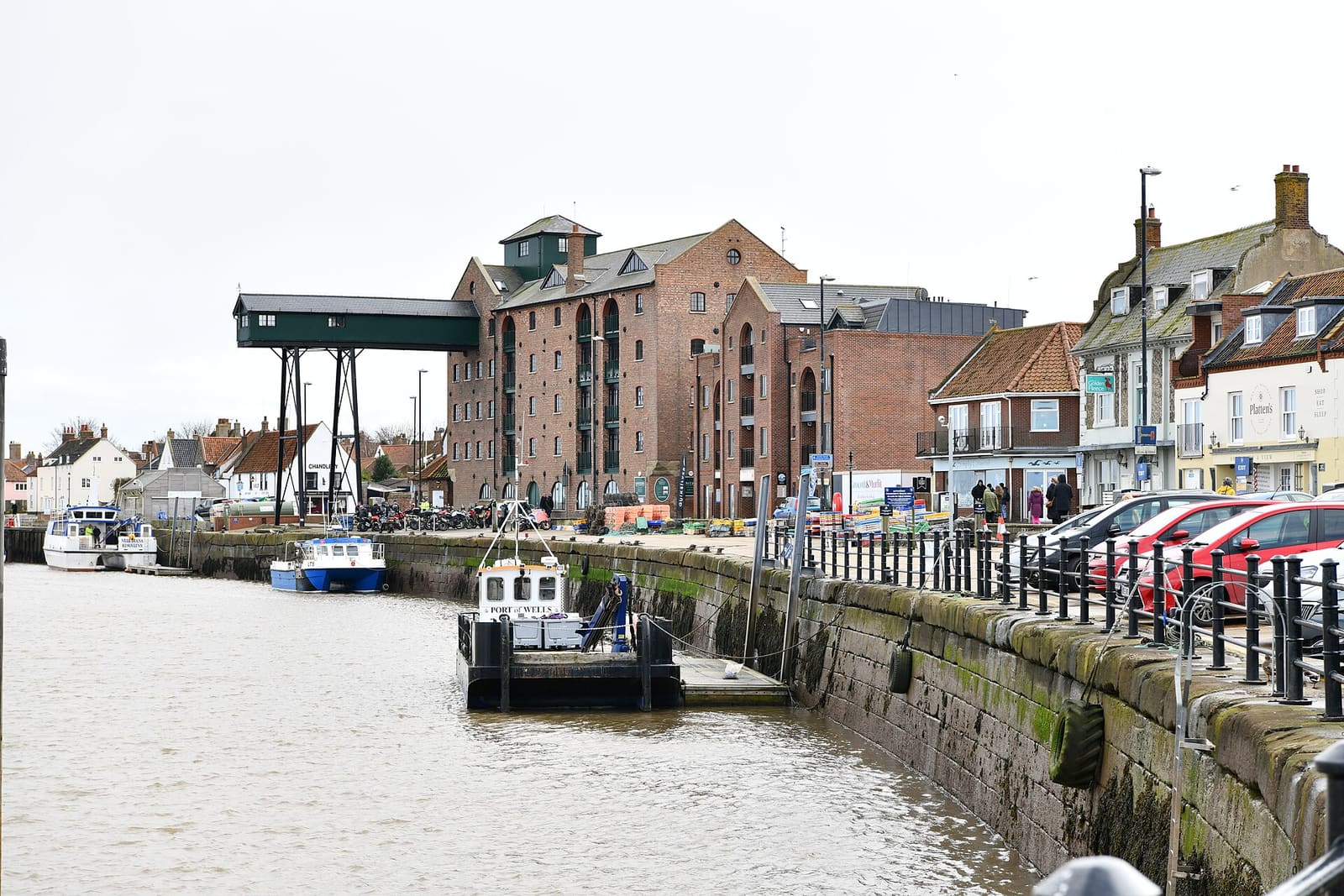
- Wells, Holkham & Blakeney (area photo): Michael Garlick, CC BY-SA 2.0, source
- Blakeney Point: Andrew Norman at English Wikipedia, Public domain, source
- Blakeney Guildhall: Nicola J Patron, CC BY-SA 3.0, source
- St Nicholas' Church, Blakeney: David from Colorado Springs, United States, CC BY 2.0, source
- King's Lynn & Sandringham: Colin Smith, CC BY-SA 2.0, source
- Norwich: Sumit Surai, CC BY-SA 4.0, source
- Wroxham, Hoveton & the northern Broads: Gareth James, CC BY-SA 2.0, source
- Cromer & Sheringham: Scribwik, CC BY-SA 4.0, source
Photos from Wikimedia Commons, used under the licences shown. All photo credits
Keep exploring Norfolk and the Broads