 English (UK)
 English (US)
 Français
 Deutsch
 Español
 Italiano
 Nederlands
 简体中文
Coast paths
South West Coast Path
England's longest National Trail follows the coast of Somerset, Devon, Cornwall and Dorset. Very few people walk it in one go; most pick a stretch and walk it from one base.
Facts checked 2 November 2026 against the sources listed at the end. Britlens is independent: see our editorial policy.

The path at a glance
| Detail | |
|---|---|
| Longueur | 630 miles (1,014 km) [1] |
| Start and finish | Minehead in Somerset to Poole Harbour in Dorset; the anticlockwise end is South Haven Point near Studland [1] [3] |
| Direction | Usually walked anticlockwise, Minehead to Poole, but signed in both directions [1] |
| Climbing | Over 115,000 feet of ascent and descent along the whole path [1] |
| Statut | National Trail since 1978, and part of the King Charles III England Coast Path [1] |
| Whole walk | Usually 30 to 60 days if walked in one go [3] |
The path began as the route coastguards patrolled to look for smugglers, which is why it keeps so close to the cliff edge and rarely takes the shortest line. [2] [3] More than 70% of it runs through a National Park or an Area of Outstanding Natural Beauty. [1]
How the path divides
There is no single official list of stages, so walkers and guidebooks split it differently. Taken anticlockwise, it falls naturally into these stretches: [3]
- Exmoor and North Devon: from the start marker at Minehead through Exmoor National Park to Lynmouth and Combe Martin. Great Hangman, near Combe Martin, is the highest point on the path at 318 m. [3]
- North Devon to Hartland: Ilfracombe, Woolacombe, the Taw and Torridge estuaries, Westward Ho! and the cliffs of Hartland. [3]
- North Cornwall: Bude, Tintagel, Port Isaac, the Camel estuary at Padstow, Newquay and St Ives Bay. [3]
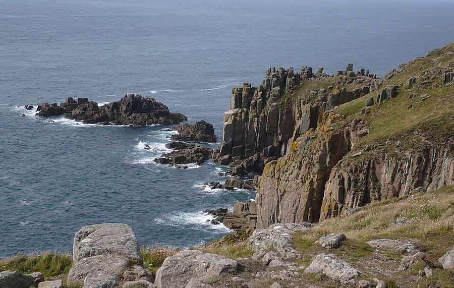
- West Penwith: Zennor, Cape Cornwall, Land's End (the most westerly point of mainland England), Porthcurno and Mousehole. [3]
- South Cornwall: the Lizard, Falmouth, Fowey, Polperro and Looe to the Cremyll ferry across to Plymouth. [3]
- South Devon: Plymouth, the South Hams estuaries, Start Point, Dartmouth, Torbay and the Exe estuary. [3]
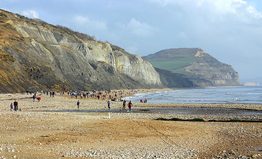
- Jurassic Coast: from Exmouth through Sidmouth, Lyme Regis, Golden Cap, Weymouth and Lulworth to Old Harry Rocks and Studland. [3]

Ferries, tides and closures
Several estuaries are crossed by small ferries, some of which only run in season or at certain states of the tide; when they do not run you face a long walk inland or a taxi. [3] The River Erme near Kingston in South Devon has no ferry at all and has to be waded within about an hour of low tide. [3]
In Dorset the path crosses the Lulworth army ranges, which are closed on firing days; there is an inland alternative. [3] The National Trails interactive map shows the line of the path with transport, water points and places to stay. [1]
Cliff paths are diverted after landslips. Check the path's official pages and any local diversion notices before each day's walk, and take a tide table for estuary crossings.
Day walks from one base
You do not need to carry a pack to enjoy the path. Many stretches have a bus or a train at each end, so you can stay in one town and walk a different section each day. Our area guides cover places to stay and how to get there:
- St Ives and West Penwith for Zennor and the north Penwith cliffs
- Penzance, Mousehole and Land's End for the far west
- Padstow and the Camel estuary and Newquay and the north coast
- Falmouth and the Helford and Fowey, Polperro and Looe on the south coast
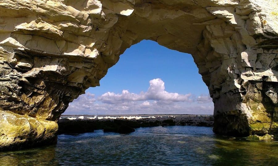
- Lyme Regis and Charmouth, Lulworth Cove and Durdle Door and Swanage, Studland and Purbeck in Dorset

For shorter routes with directions, see our walks and the Jurassic Coast guide.
Quick answers
How long is the South West Coast Path?
630 miles (1,014 km) from Minehead in Somerset to Poole Harbour in Dorset. [1]
Which way should I walk it?
Most people walk anticlockwise from Minehead to Poole, but the path is signed in both directions. [1]
Can I walk part of it without camping or carrying a big pack?
Yes. Most walkers do short sections from a base town, using buses or trains to get back. Check timetables before you set out, especially outside summer.
Guides associés
Sources
Read on the dates shown. Rules, dates and services change: check the source before you rely on it. Pages marked “not read” refused automated access, so we state nothing from them.
- South West Coast Path (opens in new tab), National Trails (Natural England and Natural Resources Wales), read 2 November 2026
- South West Coast Path: route (opens in new tab), National Trails, read 2 November 2026
- South West Coast Path (opens in new tab), Wikipedia, read 2 November 2026