English (UK)
 English (US)
 Français
 Deutsch
 Español
 Italiano
 Nederlands
 简体中文
Cueva
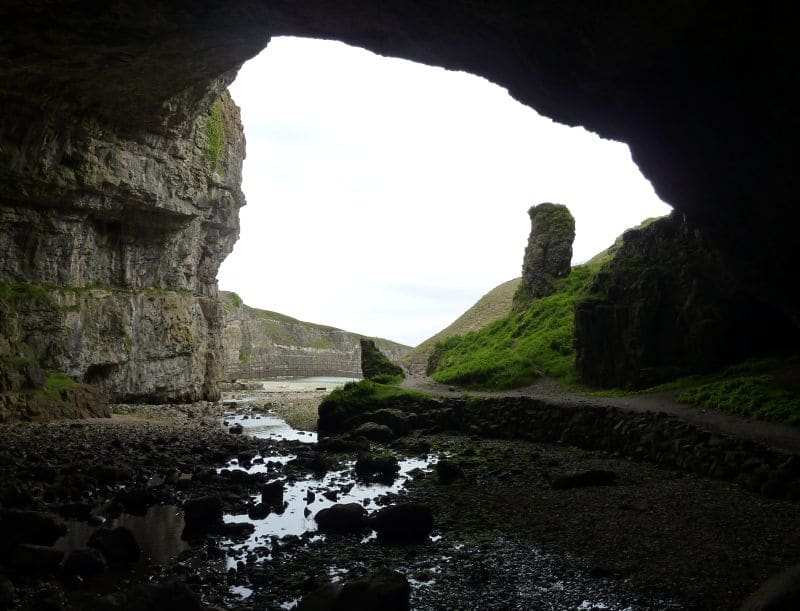
Smoo Cave
Large combined sea cave and freshwater cave at Durness, fed by the Allt Smoo stream; guided tours run in season.
Una miniguía de
Sea caves, sandy bays, the mainland's northernmost points and the ferries to Orkney
 1 / 9
Bienvenido a la zona
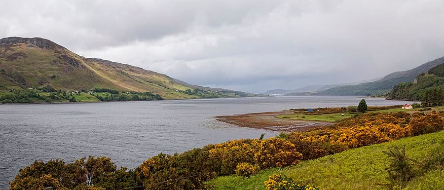
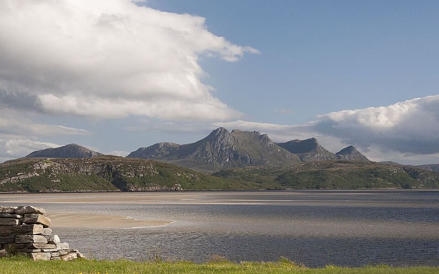
The north coast runs along the A836 from Durness, around 120 miles north of Inverness, past Loch Eriboll, Tongue and Bettyhill to Thurso, the northernmost town on the island of Great Britain. Smoo Cave, Balnakeil Bay and the Kyle of Tongue are in Sutherland; Caithness begins further east.
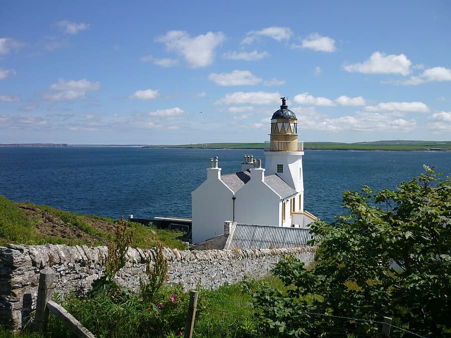
Beyond Thurso, Dunnet Head is the northernmost point of mainland Britain and Duncansby Head the north-eastern corner, with John o' Groats between them. Ferries to Orkney leave from Scrabster and Gills Bay, and the route turns south through Wick towards Inverness.
Lo más destacado
Si solo se dispone de unas horas, estos son buenos lugares por los que empezar.
Large combined sea cave and freshwater cave at Durness, fed by the Allt Smoo stream; guided tours run in season.
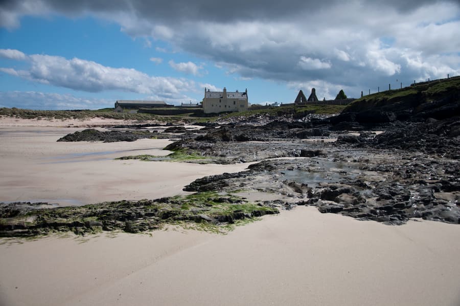
Wide bay at the mouth of the Kyle of Durness beside the ruined Balnakeil Church, a scheduled monument.
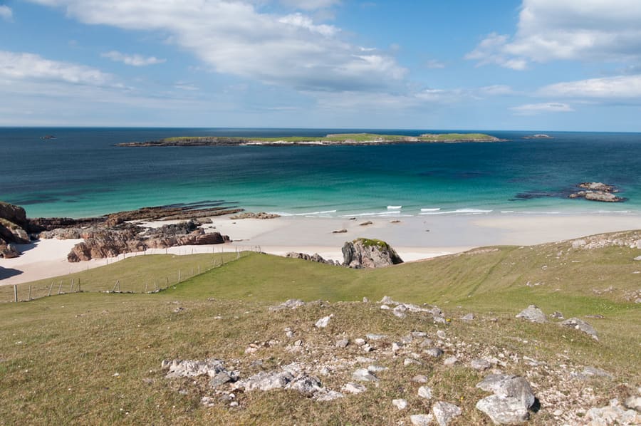
Ruined township east of Durness, beside a sandy beach looking out to Eilean Hoan.
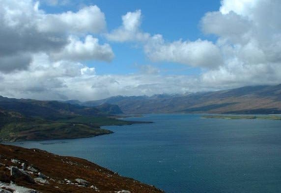
Sea loch about 16 km long, long used as a sheltered anchorage, with 19th-century lime kilns at Ard Neakie.
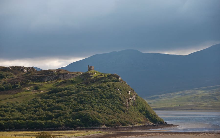
Ruin on a rocky high point above Tongue and the Kyle of Tongue, linked with the chiefs of Clan Mackay.
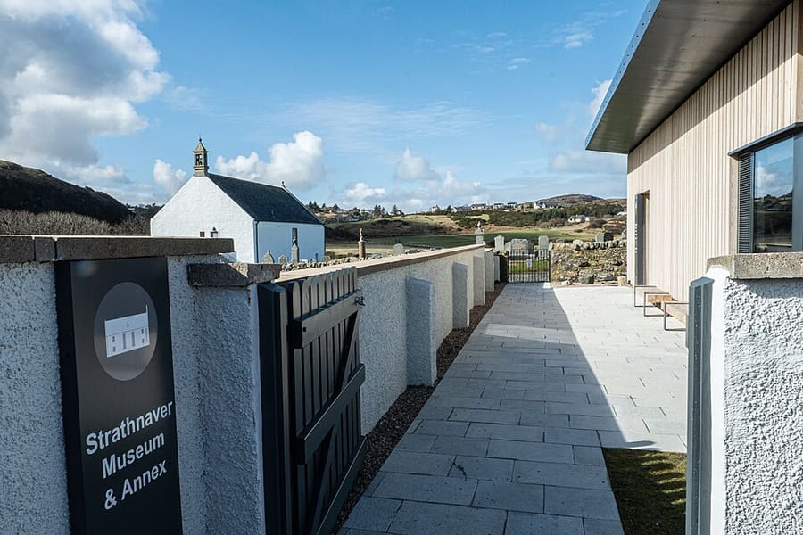
Volunteer-run museum in Bettyhill, open since 1976, telling the story of north-west Sutherland through the Highland Clearances.
Cómo llegar Sitio web Report a problem with Strathnaver Museum
Cómo orientarse
The map shows Durness, Thurso & John o' Groats and the streets around it. The Getting there page lists nearby stops and stations.
Consejos de primera mano
Villages between Durness and Thurso are far apart, so keep the tank or battery topped up and plan where to stop.
The Castle of Mey, Smoo Cave tours and Cocoa Mountain all have seasonal hours. Check their websites first.
NorthLink sails from Scrabster and Pentland Ferries from Gills Bay; book vehicle space ahead on busy dates.
Dunnet Head, Duncansby Head and Holborn Head have unfenced cliff edges. Keep dogs and children close, especially in wind.
Consejos de la redacción de Britlens
Explore esta guía
Photos from Wikimedia Commons, used under the licences shown. All photo credits
Keep exploring North Coast 500