 English (UK)
 English (US)
 Français
 Deutsch
 Español
 Italiano
 Nederlands
 简体中文
Una miniguía de
Partick & Hyndland: cómo llegar
Paradas, estaciones y cómo llegar a Partick & Hyndland
Paradas y estaciones
Cómo llegar a Partick & Hyndland
Elija la parada más cercana a su destino.
| Parada o estación | Servicios | Ideal para |
|---|---|---|
| Partick | Metro de Glasgow | La SPT menciona Partick Rail Station, Partick Bus Station y el Riverside Museum como lugares cercanos |
| Kelvinhall | Metro de Glasgow | Junto a Kelvin Hall y Kelvingrove, en el límite oriental de esta zona |
| Hyndland | ScotRail | Wikipedia indica que la estación de Hyndland da servicio a Hyndland en las líneas Argyle y North Clyde; conviene consultar ScotRail para los trenes |
Within walking range
Stations near Partick & Hyndland
Stations and stops mapped in OpenStreetMap within 2.5 km of the centre of Partick & Hyndland, nearest first. Distances are straight lines; walking times assume 5 km/h and are a minimum.
| Station or stop | Tipo | Distancia | A pie |
|---|---|---|---|
| Partick (Rail) | Estación | 200 m | about 2 min |
| Partick (Subway) | Metro | 200 m | about 2 min |
| Kelvinhall (Subway) | Metro | 500 m | about 6 min |
| Govan (Subway) | Metro | 1.0 km | about 12 min |
| Hillhead (Subway) | Metro | 1.1 km | about 13 min |
Station data: © OpenStreetMap contributors (ODbL), read 25 October 2026. Check step-free access with the operator before you travel.
Walking from nearby areas
- West End & Kelvingrove: 1.2 km from Partick & Hyndland, about 14 min on foot
- Finnieston, Clydeside & the Riverside: 1.3 km from Partick & Hyndland, about 16 min on foot
- Charing Cross & Garnethill: 2.5 km from Partick & Hyndland, about 30 min on foot
- Merchant City & City Centre: 3.7 km from Partick & Hyndland, about 45 min on foot
Cómo llegar a Glasgow
Información oficial de viajes
Glasgow tiene dos estaciones de tren principales, una estación de autocares en el centro y un aeropuerto al oeste de la ciudad. ScotRail, Glasgow Airport, Citylink y Glasgow City Council bloquean las solicitudes automatizadas, por lo que esta página cita solo los operadores y las fuentes que se han podido leer; consulte sus webs para horarios, tarifas e incidencias.
- Visit Glasgow → — el sitio oficial de visitantes de la ciudad
- Visit Glasgow: cómo llegar → — tren, avión, carretera y mar
- Visit Glasgow: cómo moverse → — metro, autobuses, bicicletas y taxis
- Visit Glasgow: accesibilidad → — cómo planificar una visita accesible
- SPT: metro de Glasgow → — mapas, estaciones y billetes
- SPT: horarios del metro → — horarios de funcionamiento y frecuencia
- First Bus: Greater Glasgow → — autobuses urbanos y exprés al aeropuerto
- Avanti West Coast → — trenes desde Londres y el noroeste
- Caledonian Sleeper → — trenes nocturnos desde Londres
- ScotRail → — la mayoría de los servicios escoceses (el sitio bloquea las comprobaciones automáticas)
- Glasgow Airport → — vuelos y transporte posterior (el sitio bloquea las comprobaciones automáticas)
- National Rail Enquiries → — horarios y tarifas de trenes
- Glasgow Life → — museos, bibliotecas y recintos
Los horarios, tarifas e incidencias cambian: consulte las páginas de los operadores indicadas arriba para información en directo.
Planifique aquí su trayecto
Indique su punto de partida y Google Maps le mostrará rutas a Partick & Hyndland. Está seleccionado el transporte público; puede cambiarlo en el mapa. Consulte las webs de los operadores para ver incidencias en directo.
While you are here
Things to see in Partick & Hyndland
A few of the sights in the area. The Things to do page lists them all, with directions and official links.
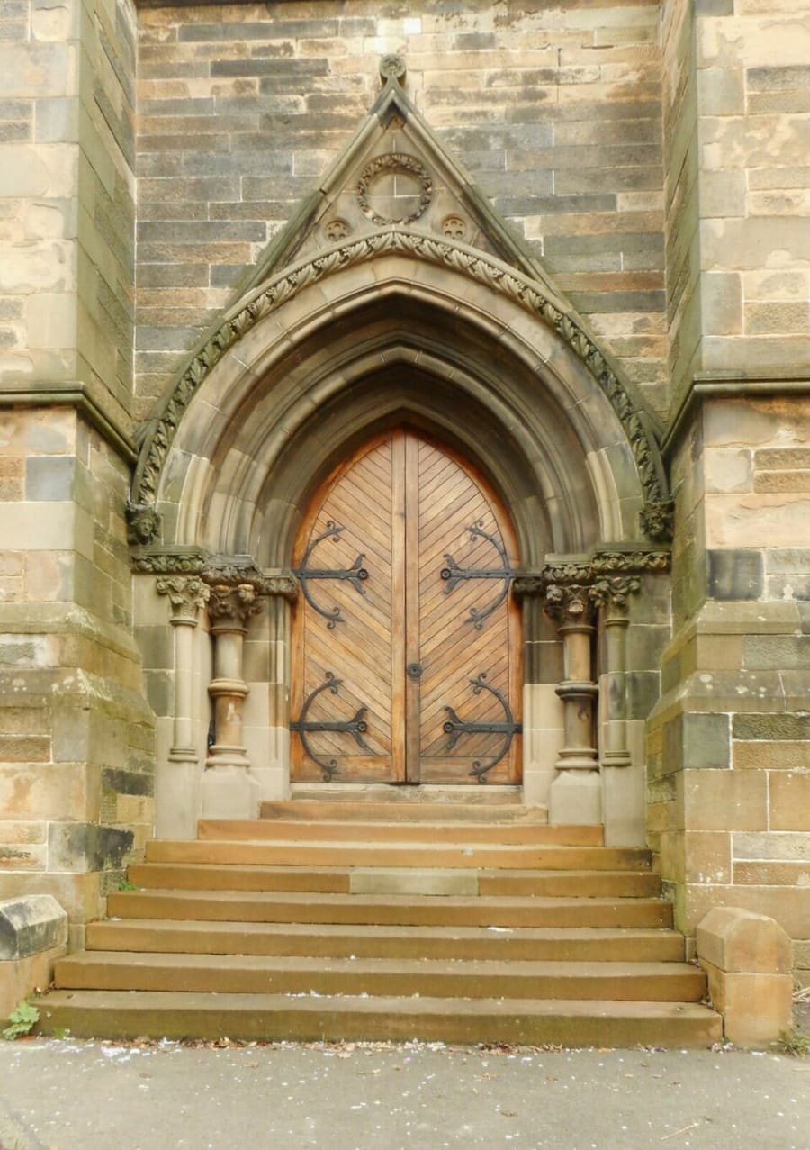
Cottiers
Teatro, bar y restaurante en la antigua iglesia parroquial de Dowanhill, del siglo 19.
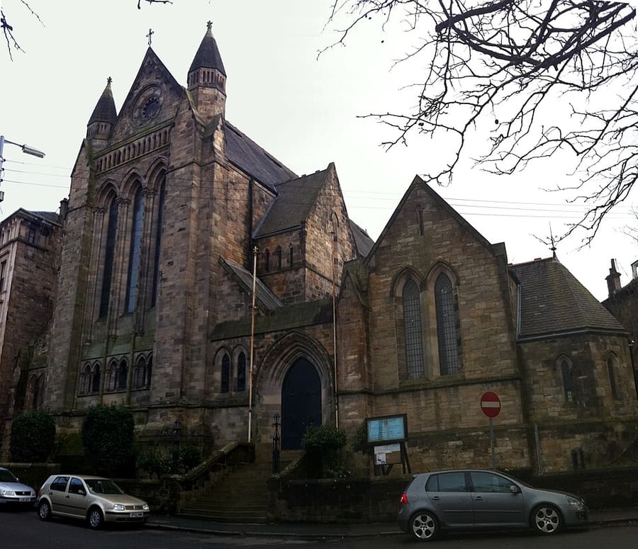
Greek Orthodox Cathedral of St Luke
Catedral greco-ortodoxa en Dowanhill, en la antigua iglesia Belhaven de 1877 diseñada por James Sellars, con vidrieras de Stephen Adam.
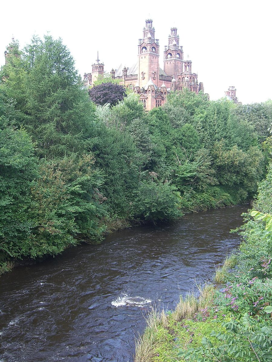
River Kelvin
Afluente del Clyde, de unas 22 millas de longitud, que se une al Clyde en Partick después de pasar por la universidad y Kelvingrove Park.
Glasgow
More areas to explore
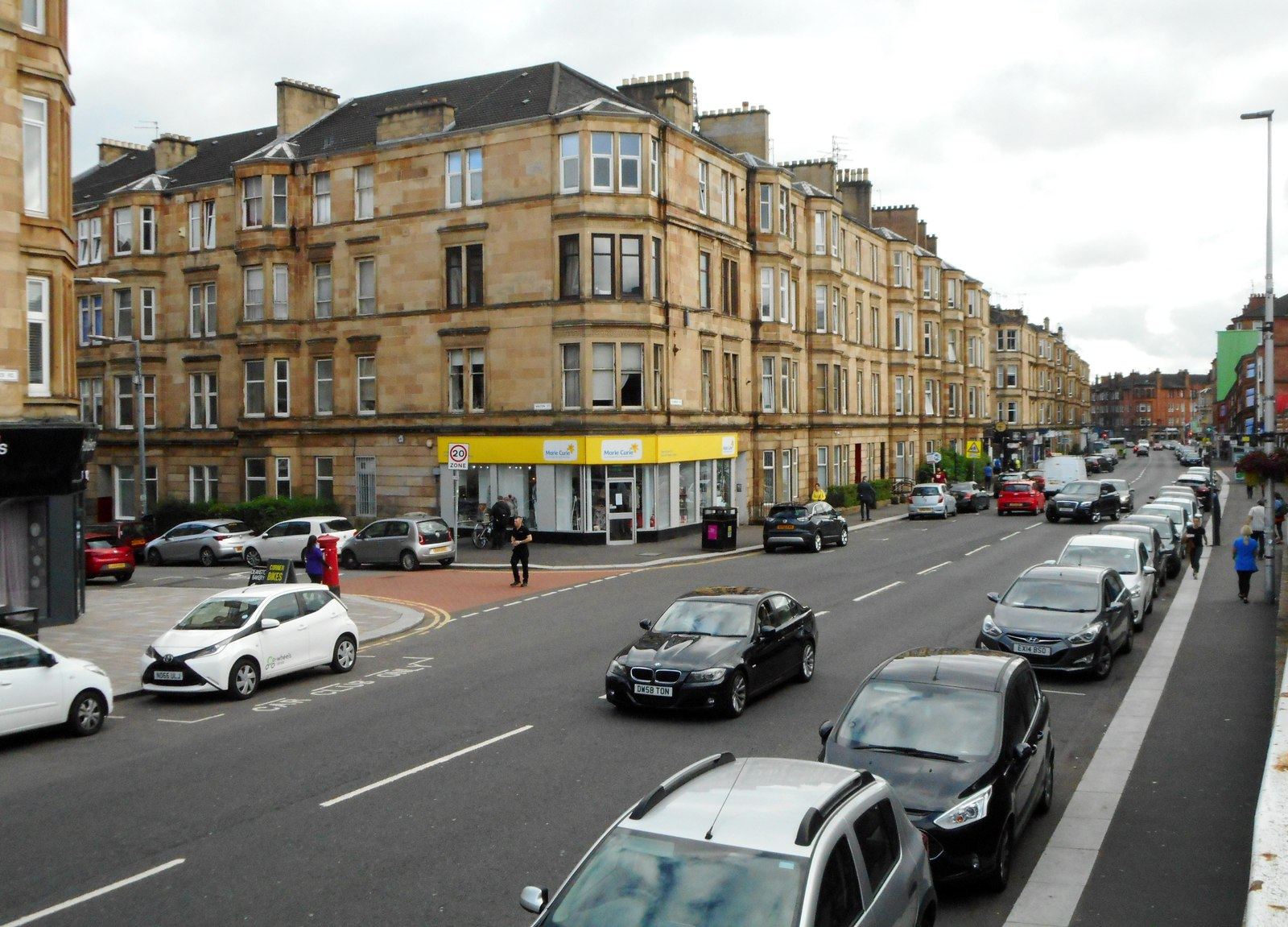
Shawlands & Langside
Los cafés y restaurantes independientes del Southside, un barrio de campo de batalla y un campo de críquet
Abrir la miniguía →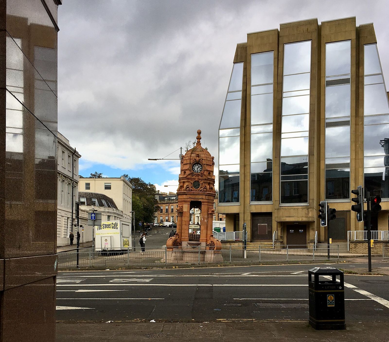
Charing Cross & Garnethill
Donde el centro de la ciudad se une al West End: Sauchiehall Street, Garnethill y una sinagoga victoriana
Abrir la miniguía →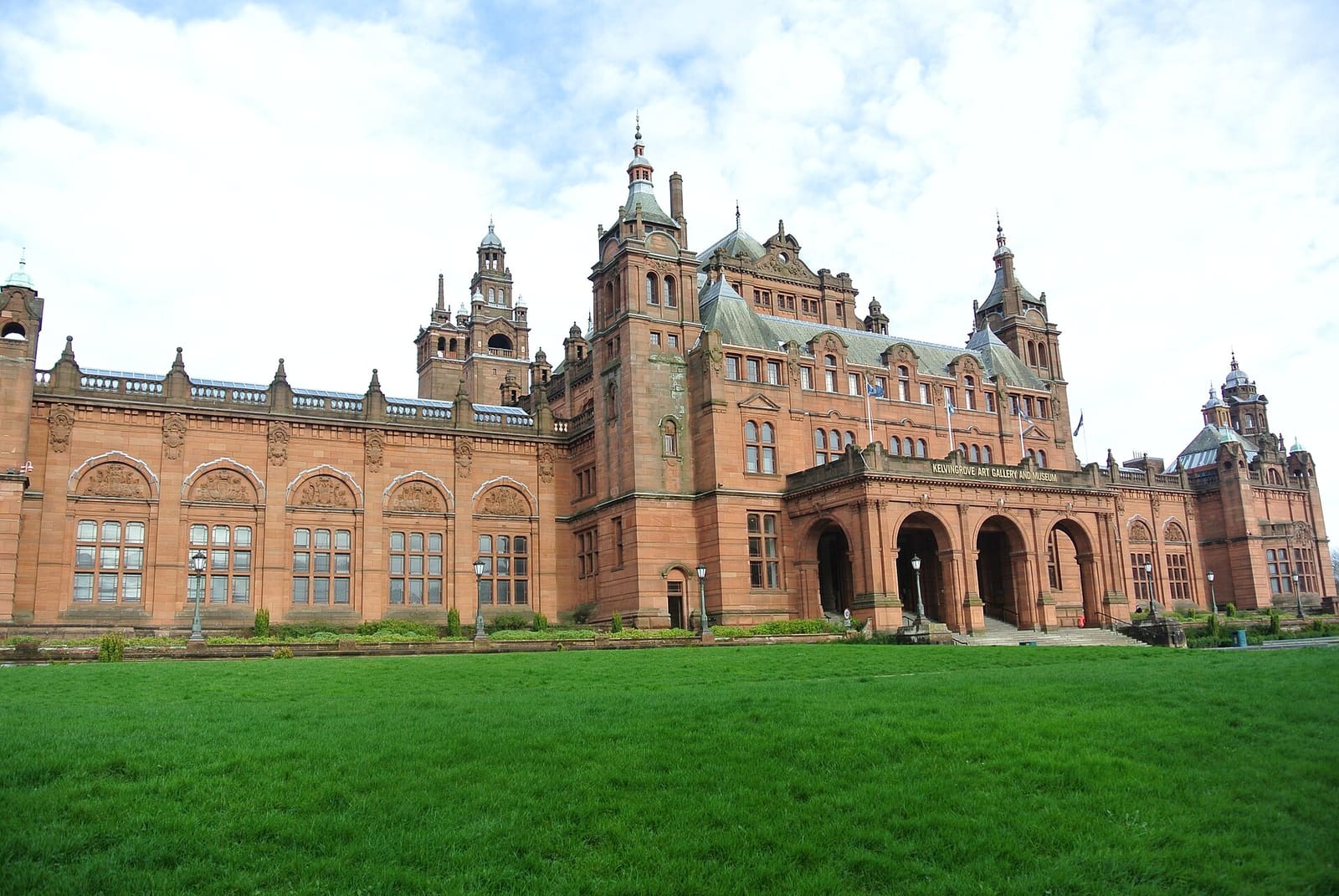
West End & Kelvingrove
Un museo gratuito, el museo universitario más antiguo de Escocia y los callejones empedrados junto a Byres Road
Abrir la miniguía →Créditos fotográficos
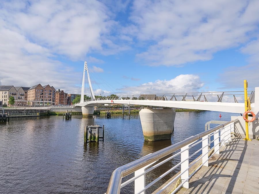
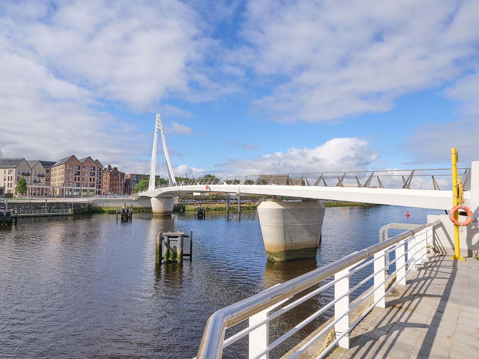
- Govan-Partick Bridge: James Petts, CC BY-SA 4.0, source
- Partick & Hyndland (area photo): James Petts, CC BY-SA 4.0, source
- Cottiers: Richard Sutcliffe, CC BY-SA 2.0, source
- Greek Orthodox Cathedral of St Luke: Bjmullan, CC BY-SA 3.0, source
- River Kelvin: Tou-x, CC BY-SA 3.0, source
- Shawlands & Langside: Richard Sutcliffe, CC BY-SA 2.0, source
- Charing Cross & Garnethill: Sonictiller, CC BY-SA 4.0, source
- West End & Kelvingrove: Suicasmo, CC BY-SA 4.0, source
- Merchant City & City Centre: Michael D Beckwith, CC0, source
- Finnieston, Clydeside & the Riverside: Rosser1954, CC BY-SA 4.0, source
- The Southside: Gordon Brown, CC BY-SA 2.0, source
- Cathedral Precinct, Necropolis & Dennistoun: 瑞丽江的河水, CC BY-SA 4.0, source
- Glasgow Green & the East End: dun_deagh, CC BY-SA 2.0, source
Photos from Wikimedia Commons, used under the licences shown. All photo credits
Siga explorando Glasgow