 English (UK)
 English (US)
 Français
 Deutsch
 Español
 Italiano
 Nederlands
 简体中文
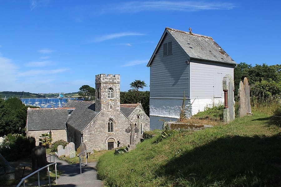
Una miniguía de
Falmouth & the Helford: cómo llegar
Paradas, estaciones y cómo llegar a Falmouth & the Helford
Paradas y estaciones
Cómo llegar a Falmouth & the Helford
Elija la parada más cercana a su destino.
| Parada o estación | Servicios | Ideal para |
|---|---|---|
| Falmouth Town | GWR, Maritime Line | La más céntrica de las estaciones de Falmouth; no tiene personal |
| Falmouth Docks | GWR, Maritime Line | Terminal de la línea desde Truro, inaugurada en 1863 |
| Truro | GWR, CrossCountry | Empalme de la Maritime Line y la estación más concurrida de Cornualles |
| Ferris de pasajeros | Operadores del Fal River | Visit Cornwall enumera transbordadores de pasajeros de Falmouth a St Mawes, Place, Trelissick, Flushing y Malpas |
| King Harry Ferry | King Harry Steam Ferry Company | Ferri de cadena para vehículos que cruza los Carrick Roads entre Feock y Philleigh |
Within walking range
Stations near Falmouth & the Helford
Stations and stops mapped in OpenStreetMap within 2.5 km of the centre of Falmouth & the Helford, nearest first. Distances are straight lines; walking times assume 5 km/h and are a minimum.
| Station or stop | Tipo | Distancia | A pie |
|---|---|---|---|
| Penmere | Estación | 1000 m | about 12 min |
Station data: © OpenStreetMap contributors (ODbL), read 25 October 2026. Check step-free access with the operator before you travel.
Walking from nearby areas
- Newquay & the North Coast: 29.2 km from Falmouth & the Helford, better by public transport
- St Ives & West Penwith: 29.9 km from Falmouth & the Helford, better by public transport
- Penzance, Mousehole & Land’s End: 36.9 km from Falmouth & the Helford, better by public transport
- Fowey, Polperro & the south-east coast: 43.1 km from Falmouth & the Helford, better by public transport
Llegar a Cornualles
Información oficial de viajes
La línea ferroviaria principal de Cornualles termina en Penzance, hay un aeropuerto en Newquay y los autocares de larga distancia llegan hasta Penzance. Consulte siempre al operador los horarios, tarifas e incidencias actuales.
- Visit Cornwall → — el sitio oficial de turismo del condado
- Visit Cornwall: viajes y transporte → — tren, carretera, avión, autocar, autobús y ferri
- Visit Cornwall: seguridad en la playa → — mareas, corrientes y socorristas
- Great Western Railway: trenes a Cornualles → — línea principal y ramales
- Great Western Railway: Night Riviera Sleeper → — horarios y camarotes del tren nocturno
- National Rail Enquiries → — horarios y tarifas de trenes
- Transport for Cornwall → — horarios y billetes de autobús
- Cornwall Airport Newquay → — vuelos y conexiones posteriores
- National Express → — autocares a Cornualles
- Isles of Scilly Travel → — ferri y Skybus a las Isles of Scilly
Los horarios, tarifas e incidencias cambian: consulte las páginas de los operadores indicadas arriba para información en directo.
Planifique aquí su trayecto
Indique su punto de partida y Google Maps le mostrará rutas a Falmouth & the Helford. Está seleccionado el transporte público; puede cambiarlo en el mapa. Consulte las webs de los operadores para ver incidencias en directo.
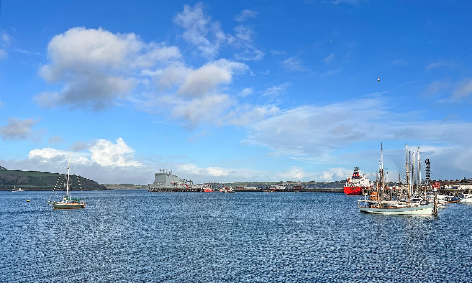
While you are here
Things to see in Falmouth & the Helford
A few of the sights in the area. The Things to do page lists them all, with directions and official links.
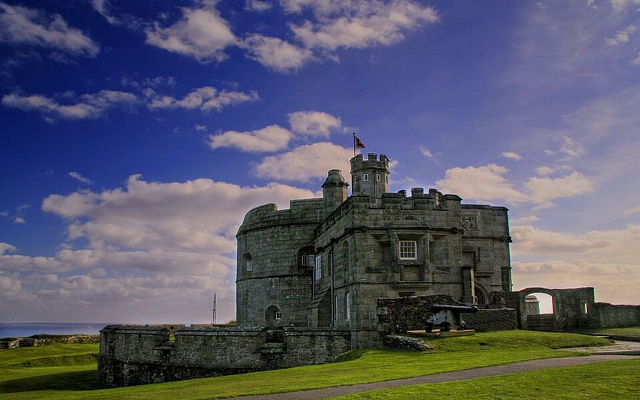
Pendennis Castle
Fuerte de artillería construido por Enrique VIII entre 1540 y 1542, ampliado después con murallas y baluartes, que vigila la desembocadura del río Fal.
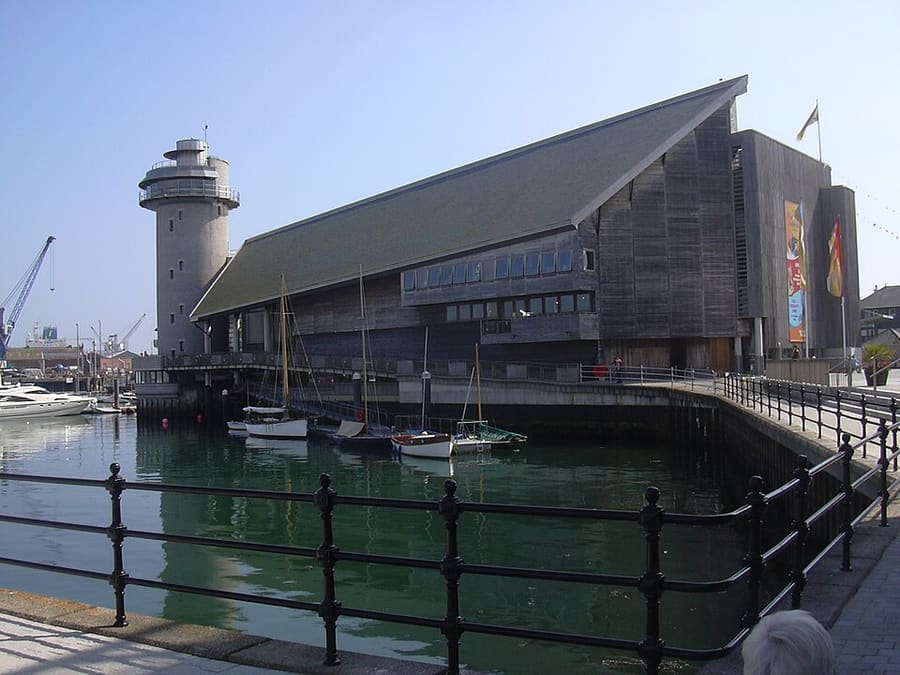
National Maritime Museum Cornwall
Museo marítimo independiente en un edificio junto al puerto de Falmouth, con una colección de embarcaciones y un taller de construcción naval.
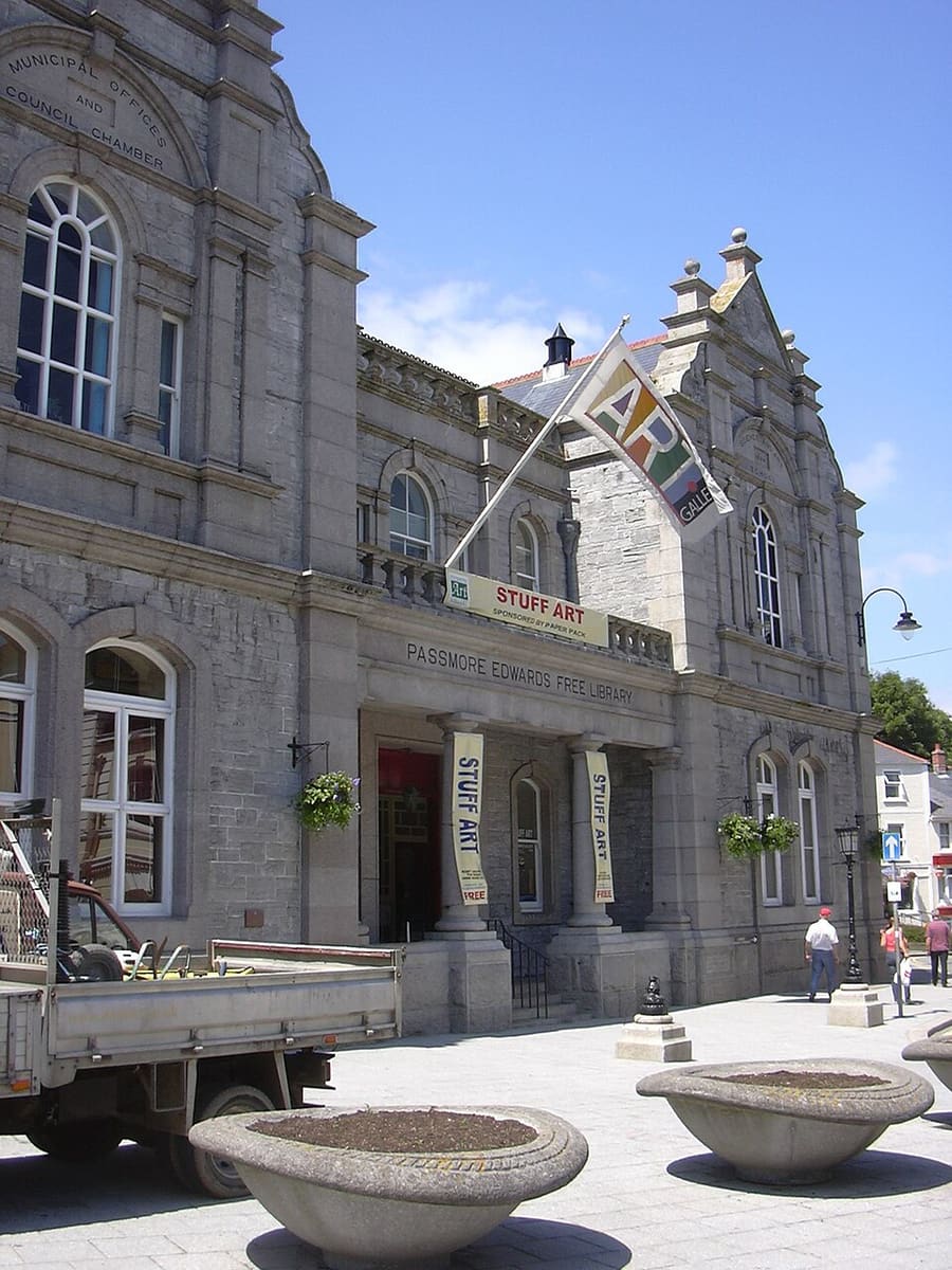
Falmouth Art Gallery
Galería de financiación pública con obras de artistas victorianos, impresionistas, surrealistas y pintores marinos.
Cornualles
More areas to explore
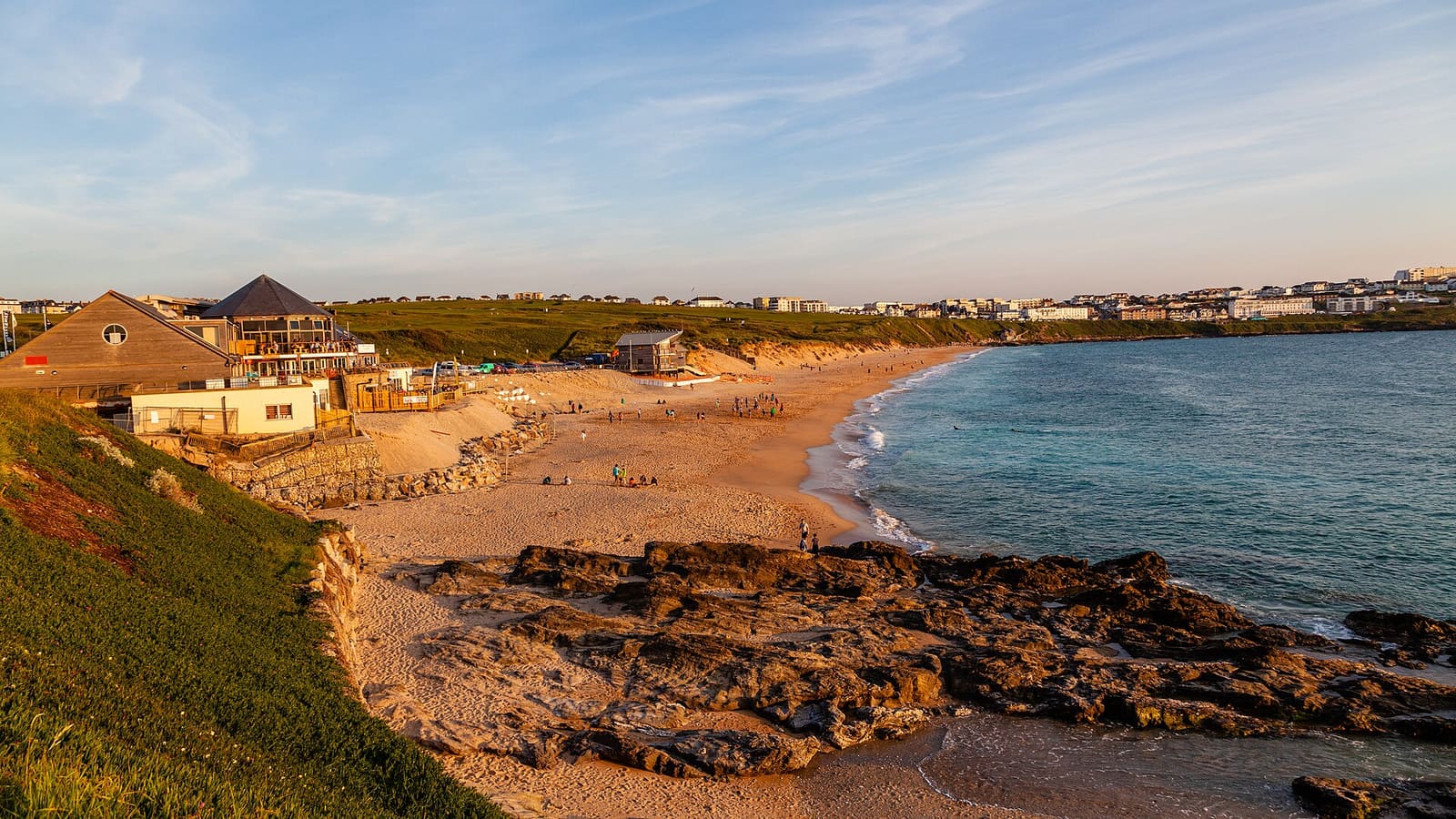
Newquay & the North Coast
Playas de surf, cabos y atracciones familiares en la costa atlántica
Abrir la miniguía →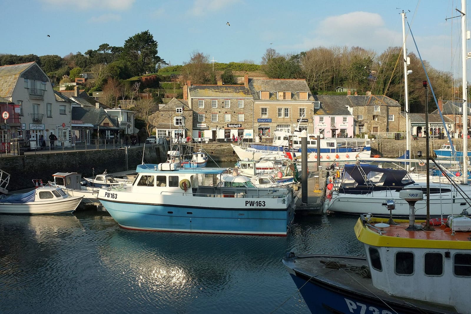
Padstow & the Camel Estuary
Un puerto pesquero, rutas en bici por el estuario y bahías de arena en la costa norte
Abrir la miniguía →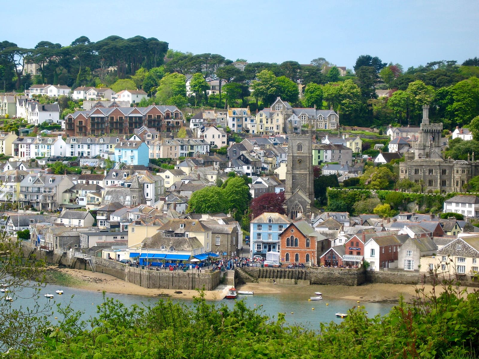
Fowey, Polperro & the south-east coast
Un puerto deportivo, pueblos pesqueros y los jardines de Eden en una antigua cantera de arcilla
Abrir la miniguía →Créditos fotográficos
- Mylor Churchtown: Simon Cobb, CC0, source
- Falmouth & the Helford (area photo): Tim Green, CC BY 2.0, source
- Pendennis Castle: Darren Shilson, CC BY 2.0, source
- National Maritime Museum Cornwall: Vernon39, Public domain, source
- Falmouth Art Gallery: Vernon39, Public domain, source
- Newquay & the North Coast: Otto Domes, CC BY-SA 4.0, source
- Padstow & the Camel Estuary: Derek Harper, CC BY-SA 2.0, source
- Fowey, Polperro & the south-east coast: Marika Reinholds, CC BY-SA 2.0, source
- St Ives & West Penwith: ArildV, CC BY-SA 4.0, source
- Penzance, Mousehole & Land’s End: Lewis Clarke, CC BY-SA 2.0, source
Photos from Wikimedia Commons, used under the licences shown. All photo credits
Siga explorando Cornualles